
Death Valley
The hottest place on earth is an anthology of desert set-pieces in one national park: the rippled Mesquite Flat dunes at dawn, Badwater Basin's salt polygons 86 metres below sea level, Zabriskie Point's golden badlands, plus craters, slot canyons and ghost towns between.
- Best forRoad-trippers · Adventure seekers · Photographers
- In March25°C · 3 rainy days
- Ideal stay2-3 nights
- Approx. flying time~1h from Los Angeles
- CurrencyUSDUS dollar
- LanguageEnglish
- Local time03:148h behind the UK
- PlugsType A / BBring an adapter
- Drive on theRightOpposite to the UK
- Dialling code+1
Why go
Death Valley is a national park built around extremes: the lowest point in North America, some of the hottest recorded temperatures on earth, and a geology so varied it reads like an open-air textbook, from volcanic craters to eroded badlands to a genuine sand dune field. Distances are large and services scarce, so it rewards travellers happy to drive long, empty roads between short, dramatic stops. Wildlife is sparser than the scenery suggests, though desert bighorn sheep and roadrunners do turn up.
It works best as a two- or three-day detour from Las Vegas or a longer California desert road trip taking in Joshua Tree. Furnace Creek is the obvious base, with fuel, food and a visitor centre; beyond it, phone signal disappears fast. Summer heat makes daytime hiking genuinely dangerous, so November to March is the sensible window, and even then it pays to carry more water than seems necessary.
- Ideal stay
- 2-3 nights
- The vibe
- Vast, stark, quietly extreme
From our guides
Base yourself at Furnace Creek and treat summer as closed — November to March is the sane window, and even then carry more water in the car than seems reasonable. The night skies are certified dark and astonishing.
Featured in Ten desert adventures worth the sand in your boots
Things to do
-
Badwater Basin
Salt flats 86 metres below sea level, with polygon patterns stretching out towards the mountains and the lowest point in North America.
-
Zabriskie Point
Golden, folded badlands best seen at sunrise or sunset, a short walk from the road and one of the park's most photographed views.
-
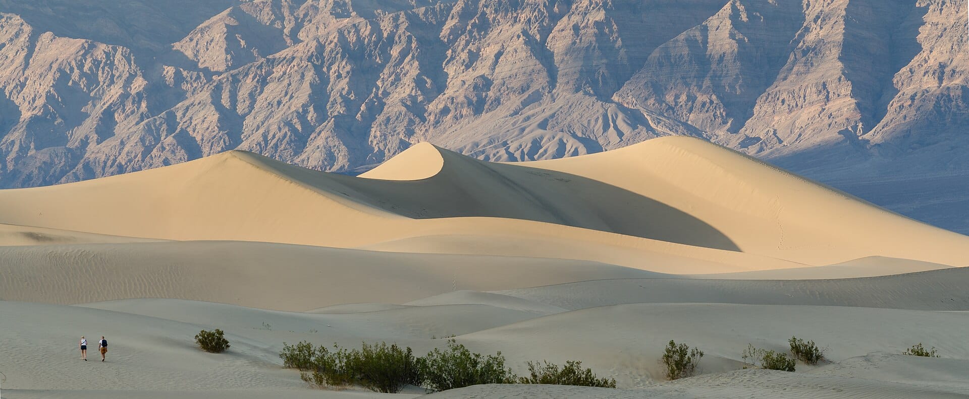
Mesquite Flat Sand Dunes
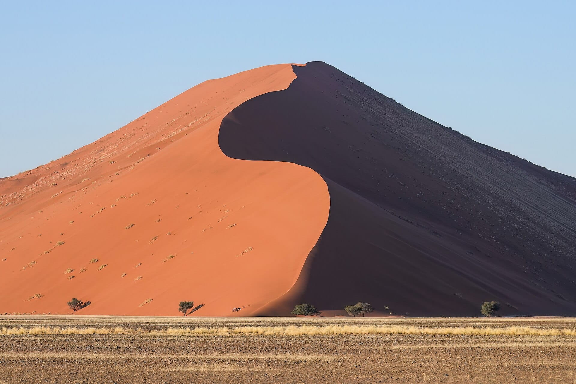
Rippled dunes near Stovepipe Wells, at their most photogenic in the early morning light before footprints cover the ridgelines.
-
Artist's Drive
A scenic loop road through mineral-streaked hills in shades of pink, green and purple, best driven in the late afternoon.
-
Dante's View
A high overlook giving a full panorama of the valley floor and salt flats below, reached by a paved road.
-
Ubehebe Crater
A volcanic crater in the park's quieter north, rimmed by an easy walkable trail with views down into the ash and cinder below.
Getting there
-
Fly to
Las Vegas (LAS)
Nearest airport to Death Valley, about 162km away as the crow flies.
-
Then
To Furnace Creek
About two and a half hours by car from Las Vegas (LAS), west across the Nevada desert to Furnace Creek.
-
On the ground
Getting around
Everything is done by car: the set-pieces are spread across long distances, fuel is scarce and expensive, and there is no shade between them.
Public transport: None. No buses run into or around the park.
Flights
Los Angeles Death Valley, California, USA
Fly from anywhere — search 4,000+ airports worldwide.
Roughly 1h in the air from Los Angeles (LAX), estimated from the distance — check for a direct route. Pick a month to see every available flight with live prices.
Check dates and prices
Pick your departure date, then your return.
Search flightsNot sure when? Compare fares across a whole month.
Flight times are estimates; prices open on Google Flights.
When to go
Daytime highs run from about 18°C in January to 47°C in July. Driest May to November; wettest in January, with rain on about 3 days.
The year at a glance — pick a month for detail
March25° · rain 3 daysWarm with the odd shower.
Monthly figures averaged from daily records for 2020–2024 at this location (ERA5 reanalysis). Highlighted months are warm and mostly dry — February to April and October and November. Live conditions from MET Norway, CC BY 4.0.
Where to stay
A resort and a ranch at Furnace Creek, a motel-style village at Stovepipe Wells, campgrounds, and gateway motels outside the park. That is essentially the entire list.
-
Best base overall
Furnace Creek
In the middle of the park by the visitor centre, so Badwater, Zabriskie and the dunes are all short drives. It is expensive, and the two properties are the only real choice.
Find stays in Furnace Creek -
Best value
Stovepipe Wells
A small village by the Mesquite Flat dunes, simpler and cheaper than Furnace Creek, with a shop and a petrol pump. Fewer facilities, and the rooms are basic.
Find stays in Stovepipe Wells -
Quietest
Panamint Springs
On the park's western edge, with dark skies, a campground and a handful of rooms. It is an hour from the main sights and the fuel is the priciest anywhere.
Find stays in Panamint Springs -
Best with children
Beatty, Nevada
Forty-five minutes out over the Nevada line, with cheap motels, food and mobile signal, which helps with a car full of children. You commute in and out each day.
Find stays in Beatty, Nevada
Worth knowing before you book: In-park rooms for November to March go months ahead, especially around the spring wildflower talk, and there is no fallback nearby if you leave it late.
Search everything else in Furnace Creek by budget. These are indicative budget bands in GBP per night for two people, not live quotes or guarantees of hotel type. Check your dates, guests, taxes and final price on Booking.com.
Good to know
- Getting there
- Las Vegas is the nearest major airport, roughly two hours by car from the park's east side.
- Safety
- Summer daytime temperatures regularly exceed 45°C, and hiking is not advised outside the cooler months.
- Pack this
- Carry far more water than seems necessary, and keep the fuel tank topped up between the park's few stations.
- Timing
- November to March gives comfortable temperatures for hiking and driving.
- Driving
- Distances between sights are large, so it helps to plan routes and fuel stops before setting out.
Similar places
Further afield

Coachella
California, USA · 312km away →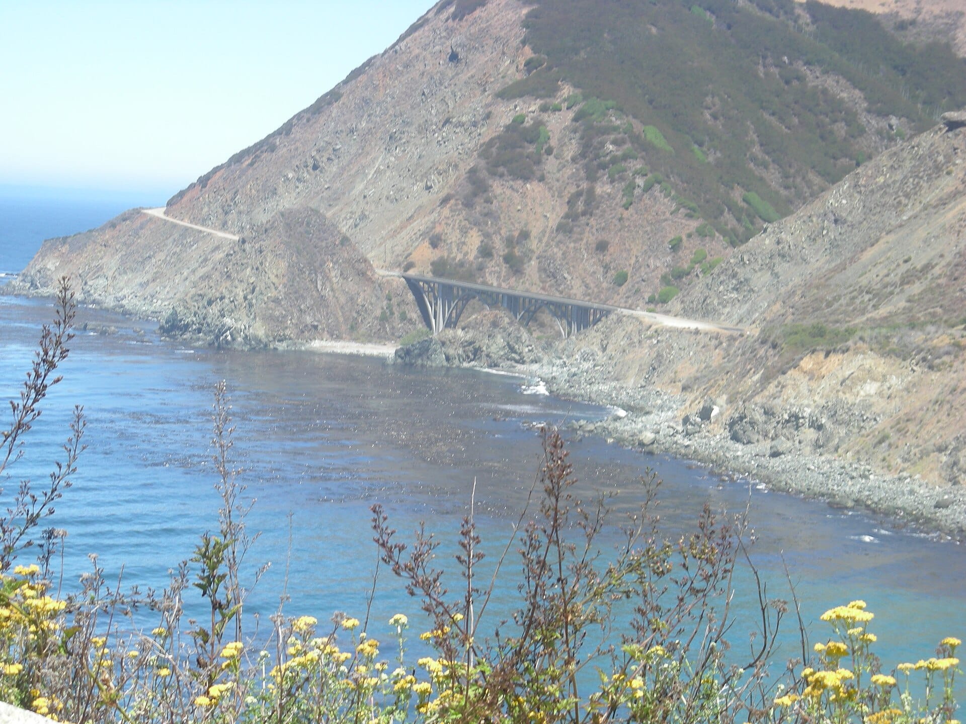
Pacific Coast Highway
California, USA · 315km away →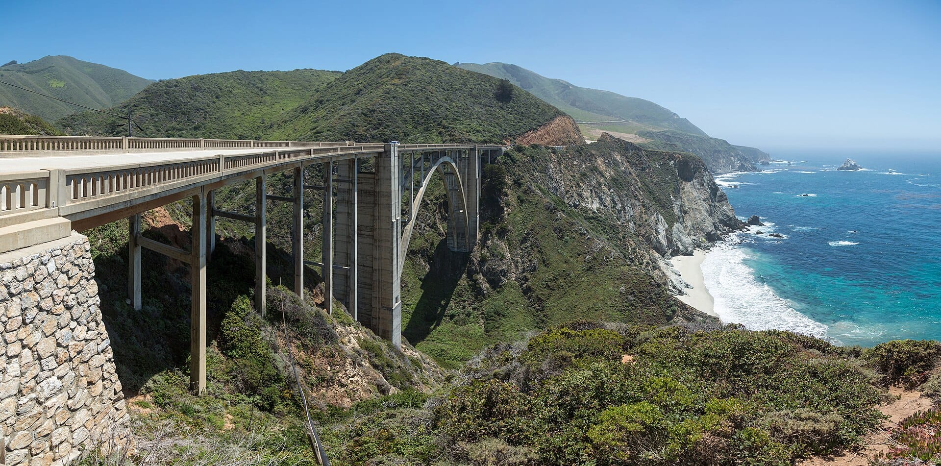
Big Sur
California, USA · 418km away →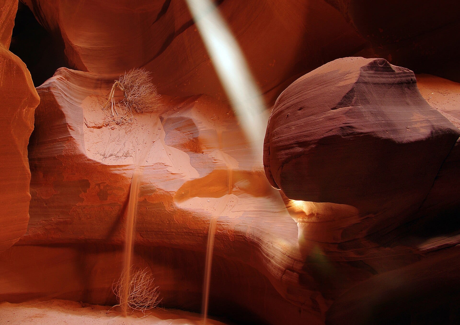
Walking the slot canyons of Antelope Canyon
Arizona, USA · 493km away →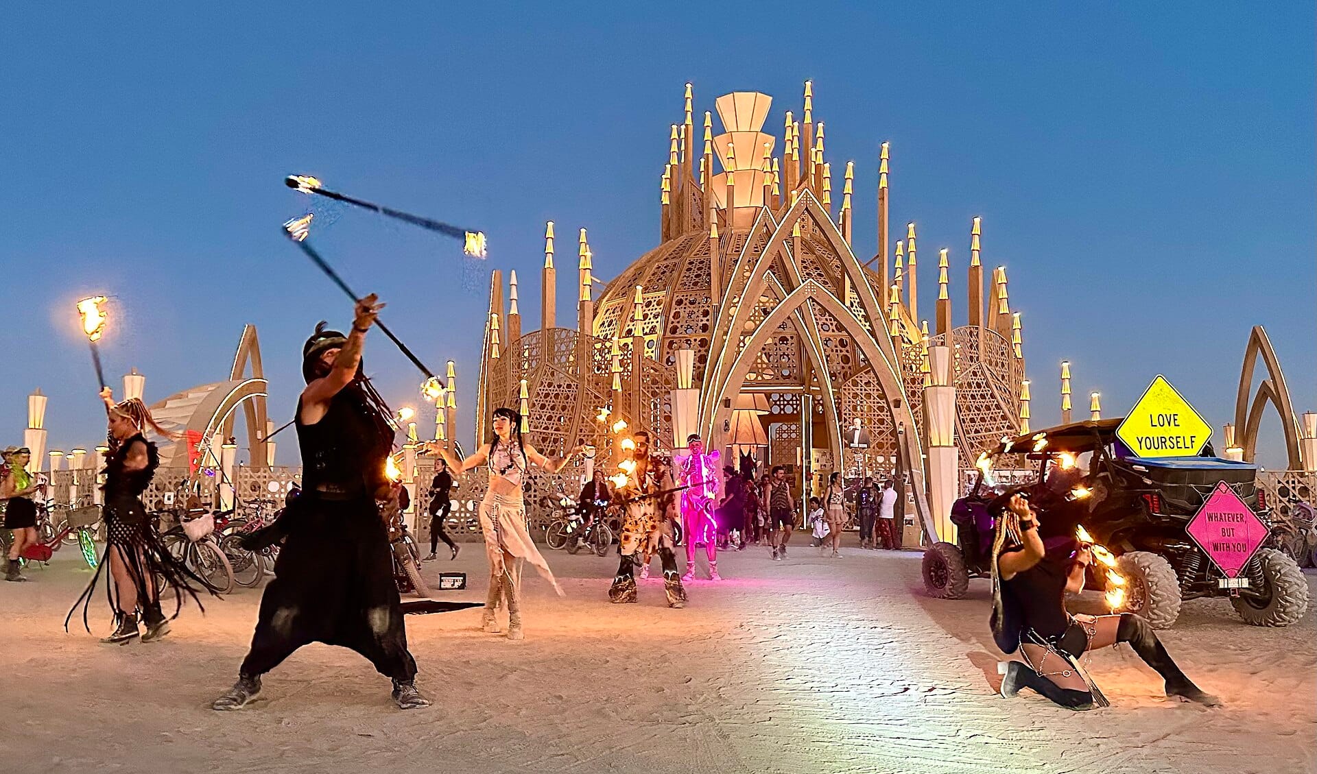
Burning Man
Nevada, USA · 525km away →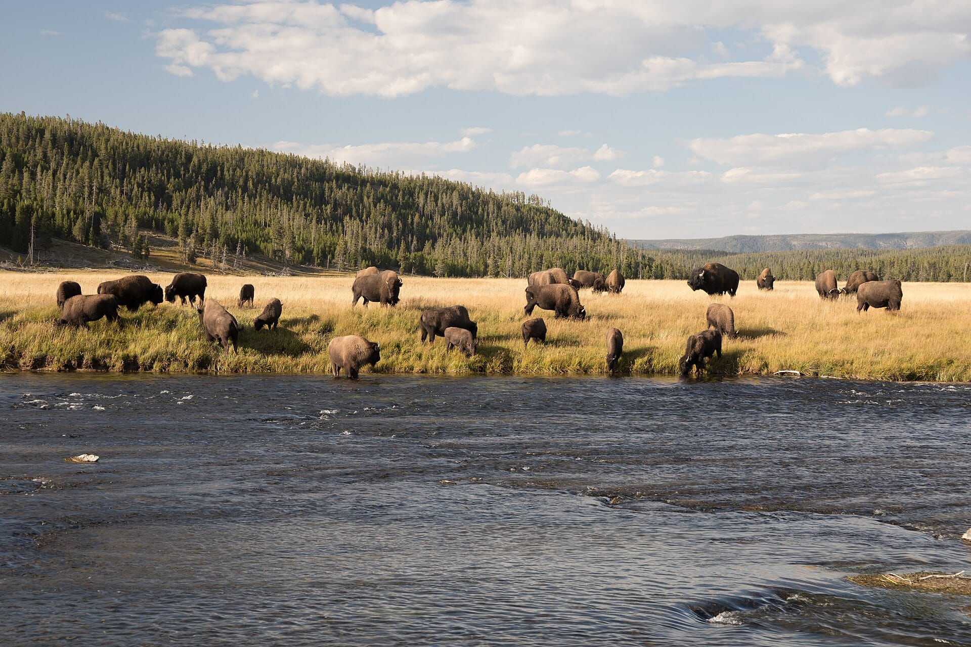
Bison in Yellowstone
USA →Elsewhere in the USA
Related articles
Quick answers
When is the best time to visit Death Valley?
For warm, mostly dry days, February to April and October and November. That means highs of 20–34°C with rain on six days a month or fewer. Daytime highs run from about 18°C in January to 47°C in July. Driest May to November; wettest in January, with rain on about 3 days.
How long should I spend in Death Valley?
Our suggestion: 2-3 nights.
How do I get to Death Valley?
About two and a half hours by car from Las Vegas (LAS), west across the Nevada desert to Furnace Creek.
Do I need a car in Death Valley?
Yes, a car makes a real difference here. No buses run into or around the park.
What currency and language are used in Death Valley?
Currency: US dollar (USD). Language: English. Plugs: type A and B.
Who is Death Valley best for?
Best for road-trippers, adventure seekers and photographers. In a phrase: vast, stark, quietly extreme.