Snowdon via the Llanberis Path
The highest peak in Wales has a walkers' route up its northern ridge that asks only patience: nine miles return on a clear, steady path with the railway for moral support alongside.
- Best forWalkers & hikers · Adventure seekers · Solo travellers
- In October8°C · 21 rainy days
- Ideal stayA full day from Llanberis
- Approx. flying time~10h 40m from Los Angeles
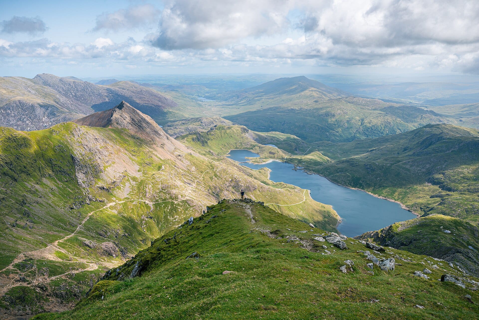
Happens around Snowdon, Wales — nearest airport Liverpool (LPL), about 87km away.
- CurrencyGBPPound sterling
- LanguageEnglish
- Local time21:08same time as the UK
- PlugsType GUK plugs fit
- Drive on theLeftSame as the UK
- Dialling code+44
The experience
The Llanberis Path is the longest and most gradual of the routes up Yr Wyddfa, roughly 14 kilometres return with around 950 metres of ascent. It follows the mountain railway for much of the way, on a wide, clearly marked track that needs no scrambling and no navigation in good visibility. What it does need is patience, since it climbs steadily throughout, with the drama arriving near the Clogwyn cliffs.
Allow five to six hours with stops, and start early, because both the path and the Llanberis car parks fill by mid-morning. Summer gives the best chance of a clear summit, though cloud sits on the top more often than not. In winter the upper path holds snow and ice and becomes a proper mountaineering route requiring axe, crampons and genuine experience.
- Ideal stay
- A full day from Llanberis
- The vibe
- Steady, breezy, properly earned
From our guides
On a clean day the summit sees Ireland; on a normal day, the inside of a cloud with occasional revelations. Start by 8am to beat the queue, and earn the best chip-shop dinner of your life back in Llanberis.
Featured in Ten spectacular mountain walks for ordinary fitness levels
Make a trip of it
-
Clogwyn Du'r Arddu
The great black cliff seen from the upper path, one of the most important rock-climbing crags in Britain.
-
Llyn Du'r Arddu
The dark lake beneath that cliff, a short detour from the main track and far quieter than the path itself.
-
The finger stone
The marker where the Llanberis and Pyg paths meet near the top, a useful landmark in poor visibility on the way down.
-
The summit cairn
The highest point in Wales at 1,085 metres, with views on a clear day across Eryri and occasionally as far as Ireland.
-
Llanberis afterwards
The village at the foot of the path, with cafes, chip shops and the Slate Museum in the old quarry workshops.
-
Llyn Padarn
The lake below, with a level lakeside walk and cold, clear water for a swim to finish the day off.
Getting there
-
Fly to
Liverpool (LPL)
Nearest airport to Snowdon, about 87km away as the crow flies.
-
Then
To Llanberis
About two hours by car from Liverpool (LPL) via the A55 north Wales coast road, then inland through Caernarfon or Bangor to Llanberis.
-
On the ground
Getting around
The path begins on Victoria Terrace at the edge of the village, ten minutes' walk from the centre, and climbs steadily for about nine miles there and back.
Public transport: The Sherpa'r Wyddfa bus network links Llanberis, Pen y Pass and Betws-y-Coed, and is often easier than hunting for a parking space.
Flights
Los Angeles Snowdon, Wales
Fly from anywhere — search 4,000+ airports worldwide.
Roughly 10h 40m in the air from Los Angeles (LAX), estimated from the distance — check for a direct route. Pick a month to see every available flight with live prices.
Check dates and prices
Pick your departure date, then your return.
Search flightsNot sure when? Compare fares across a whole month.
Flight times are estimates; prices open on Google Flights.
When to go
Daytime highs run from about 2°C in January to 13°C in August. Driest in April; wettest in October, with rain on about 21 days.
The year at a glance — pick a month for detail
October8° · rain 21 daysCold and often wet.
Monthly figures averaged from daily records for 2020–2024 at this location (ERA5 reanalysis). Live conditions from MET Norway, CC BY 4.0.
Where to base yourself
Bunkhouses, hostels and walkers' B&Bs, plus campsites and self-catering cottages. Drying rooms matter more than star ratings here.
-
Best base overall
Llanberis
The path begins on the edge of the village, so an eight o'clock start means walking from the door rather than hunting a car park. Busy, functional and full of walkers.
Find stays in Llanberis -
Quietest
Nant Peris
A hamlet a mile up the pass with a campsite, a pub and the overflow car park served by the Sherpa bus. Quieter nights, and a short hop to the path start.
Find stays in Nant Peris -
Closest to the sights
Pen-y-Pass and Nant Gwynant
The head of the pass, where a hostel and a couple of inns sit at the start of the Pyg and Miners' tracks. Book early; there are only a few beds up here.
Find stays in Pen-y-Pass and Nant Gwynant -
Best value
Caernarfon
Fifteen minutes away on the coast, with a wider choice of cheaper rooms and proper restaurants. You will need the car for a dawn start.
Find stays in Caernarfon
Worth knowing before you book: Llanberis car parks fill by eight on fine weekends, so a room in the village is worth more than its price, and mountain weather forecasts change plans daily.
Search everything else in Llanberis by budget. These are indicative budget bands in GBP per night for two people, not live quotes or guarantees of hotel type. Check your dates, guests, taxes and final price on Booking.com.
Good to know
- Start early
- Parking in Llanberis is gone by mid-morning in summer, and the path is at its busiest between ten and two.
- Weather
- Mountain forecasts for the summit differ sharply from the valley. Check one specific to Yr Wyddfa before setting off.
- Winter
- From roughly November to April the top can be under snow and ice. It is then a route for equipped, experienced walkers only.
- Pack this
- Waterproofs, warm layers, food, water and a torch. Phone signal is patchy and the summit building is not always open.
- Descent
- Coming down takes longer than people expect and is where most slips happen. Poles help, and so does keeping something in reserve.
Nearby destinations
Alton Towers
England · 147km away →
Coasteering
Pembrokeshire, Wales · 149km away →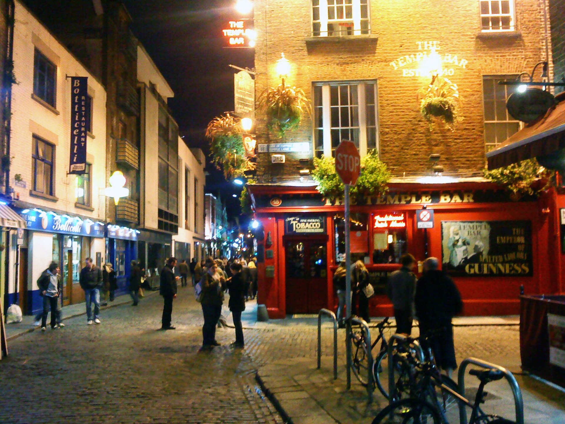
Dublin
Ireland · 149km away →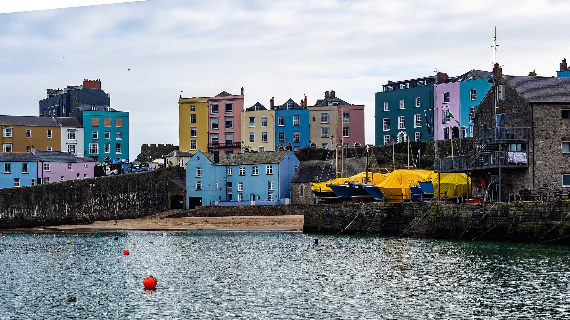
Tenby
Pembrokeshire, Wales · 161km away →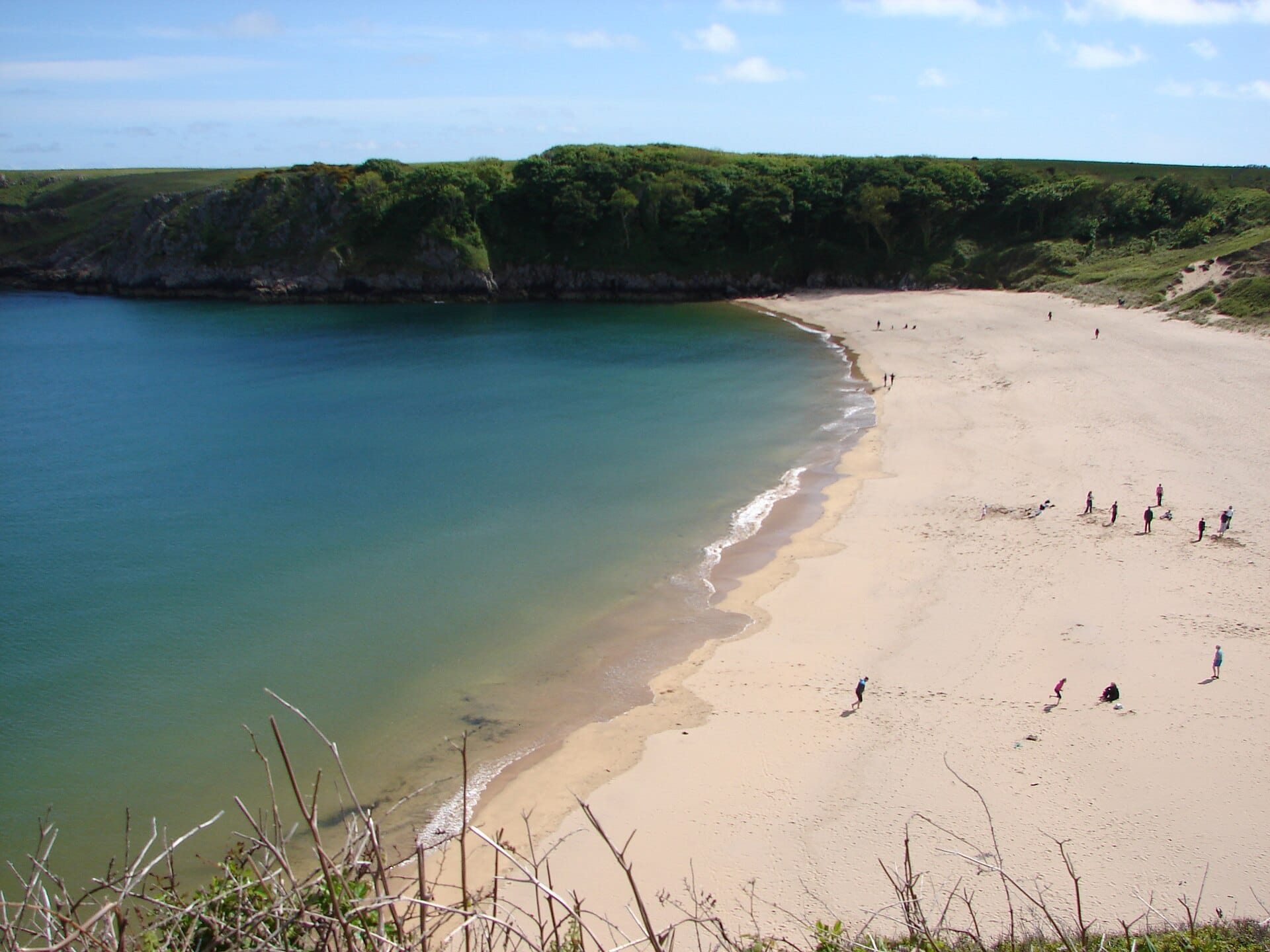
Barafundle Bay
Pembrokeshire, Wales · 171km away →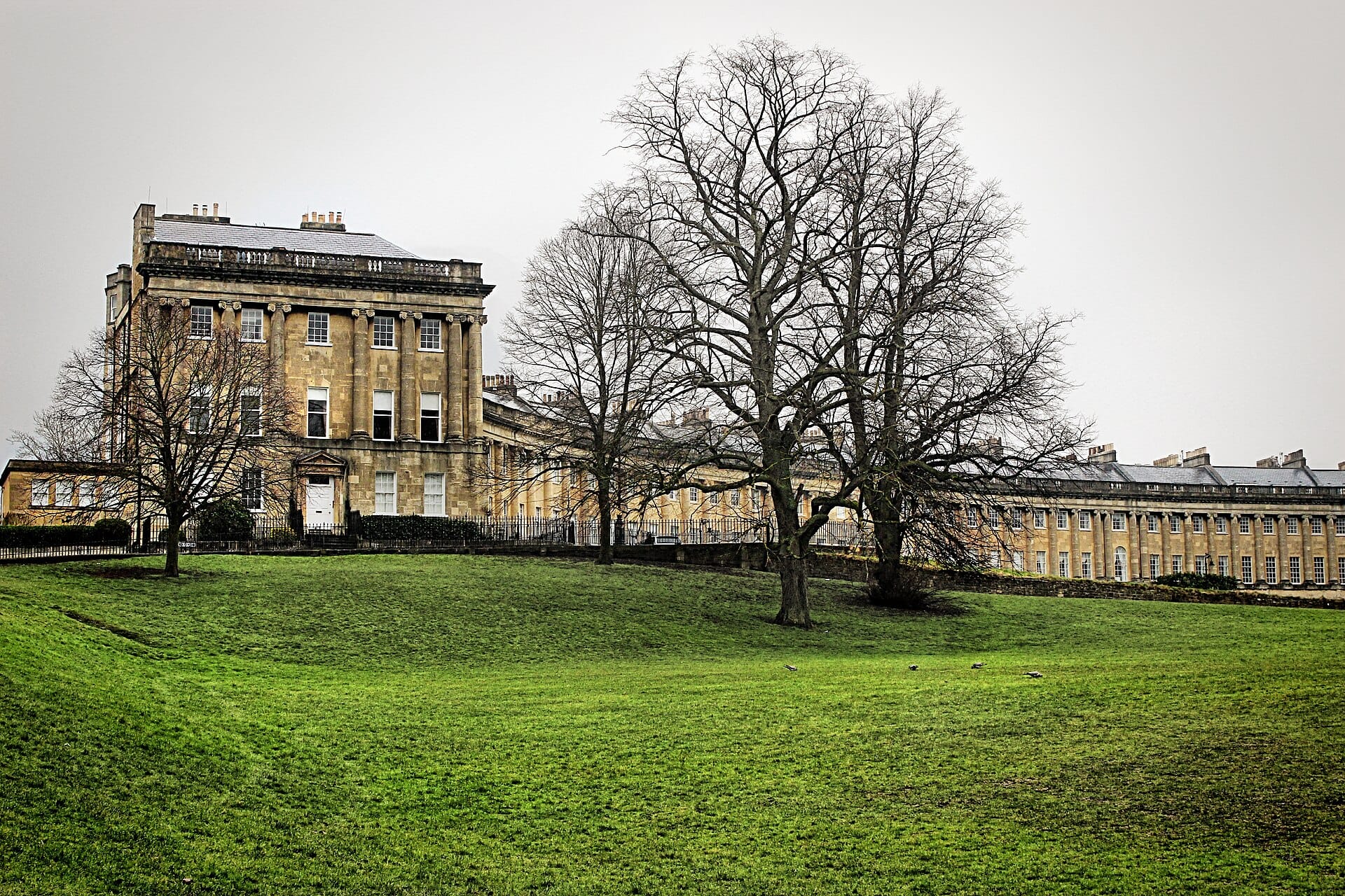
Bath
England · 221km away →Elsewhere in Wales