Ten spectacular mountain walks, with honest difficulty advice
Compare ten mountain walks by distance, terrain and effort, from Oeschinensee’s lake path to the full Llanberis Path up Yr Wyddfa.
A big view does not always require a summit climb, but these walks vary sharply in effort and exposure. Oeschinensee’s direct lake path is a short outing; the Llanberis Path and a full Cares return are substantial mountain days. Pick an exact route, check its current grade and conditions, and allow time for the descent. Fitness on flat ground does not by itself prepare you for steep steps, unguarded drops or lingering snow.
1. Tre Cime di Lavaredo loop, Dolomites, Italy
Explore destination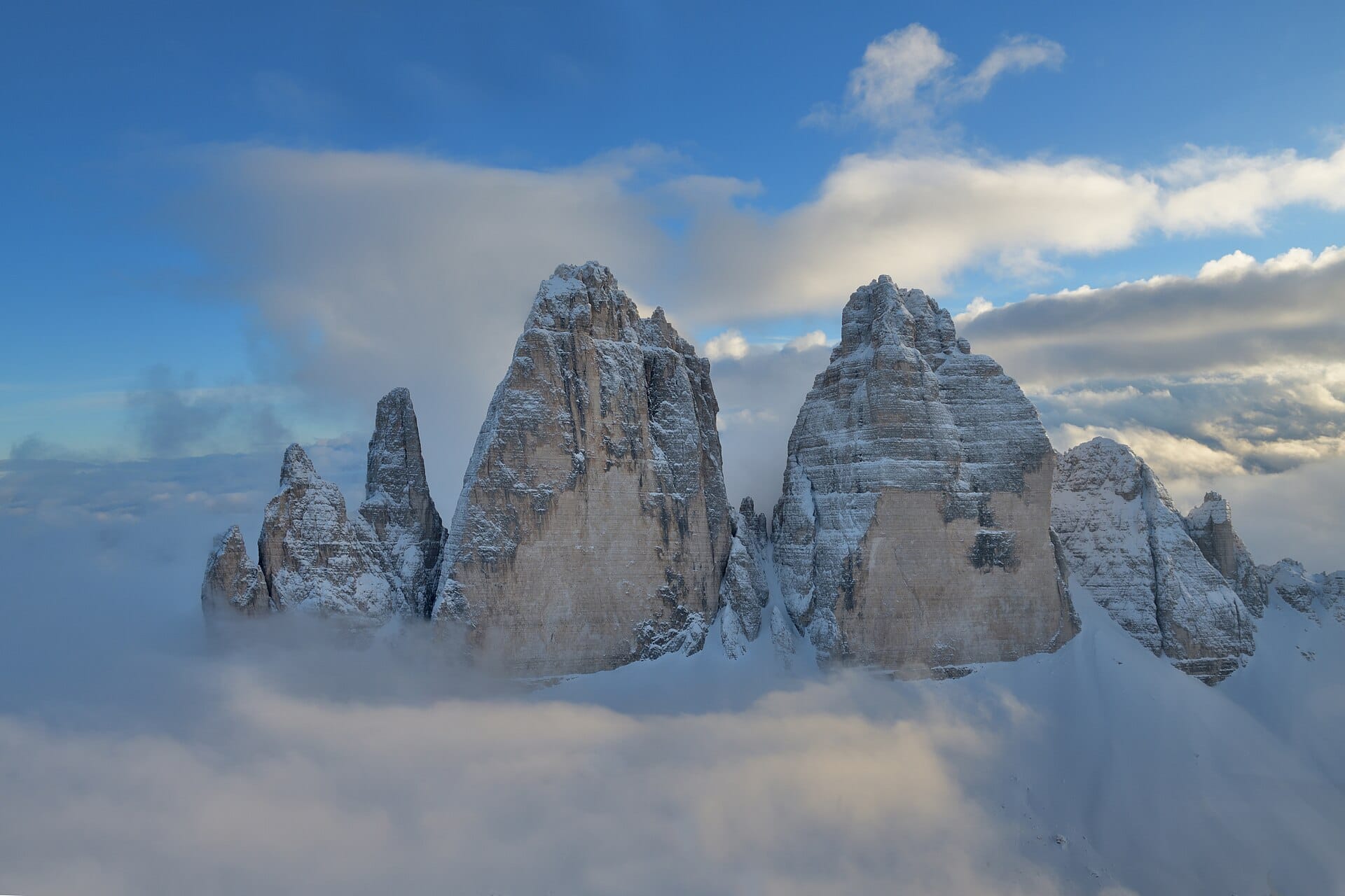
The classic circuit around Tre Cime starts near Rifugio Auronzo and reveals the three north faces as you round the massif. Allow a substantial half-day for the roughly ten-kilometre circuit, longer with stops; loose rock, climbs and altitude make it more than a gentle stroll. Check trail conditions and the current road, parking and shuttle reservation system before travelling. Snow can linger into the walking season, and a shorter out-and-back is a valid choice.
2. Oeschinensee, Switzerland
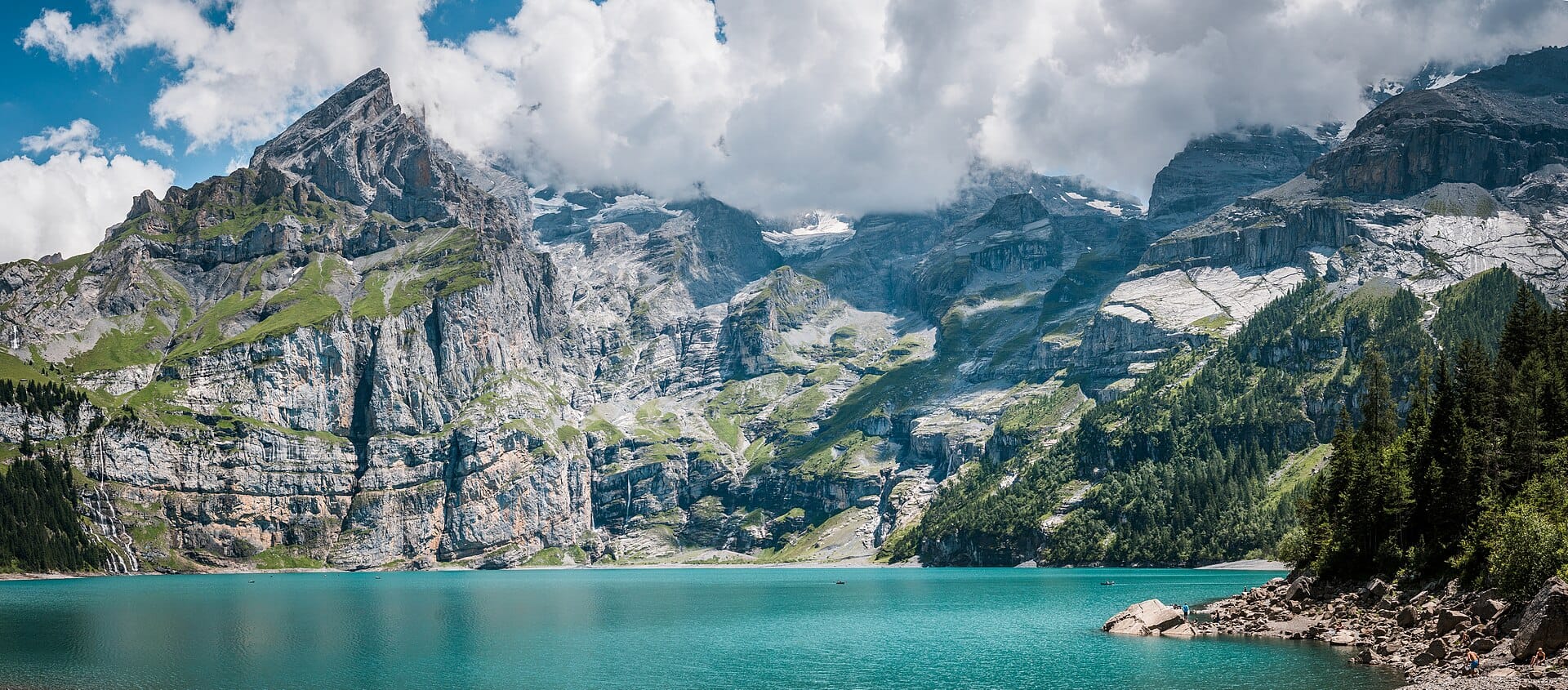
Explore destinationFrom the upper gondola station, the direct path reaches Oeschinensee in about twenty minutes, giving a relatively short way to the lake and its mountain backdrop. Keep that outing separate from the higher Heuberg route: the operator describes narrow mountain terrain for experienced walkers with a head for heights. Check the live route status before setting out. The summer toboggan run is near the upper gondola station, rather than a ride down from the lake.
3. Seceda ridgeline, Dolomites, Italy
Explore destination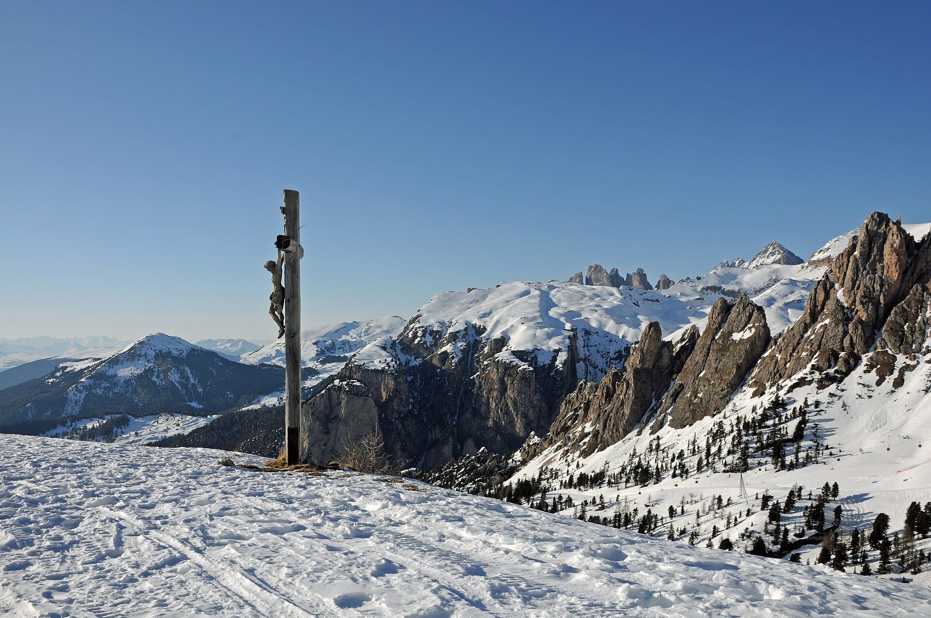
The Seceda lifts deliver a famous view of the Odle peaks with a much shorter approach than a climb from the valley. Paths beyond the station still cross sloping ground, and the ridgeline has exposed edges. Choose a short signed viewpoint route or a longer circuit to match your experience; neither should be treated as a flat park walk. Check lift operation, trail access and return times, particularly outside midsummer.
4. Cares Gorge, Picos de Europa, Spain
Explore destination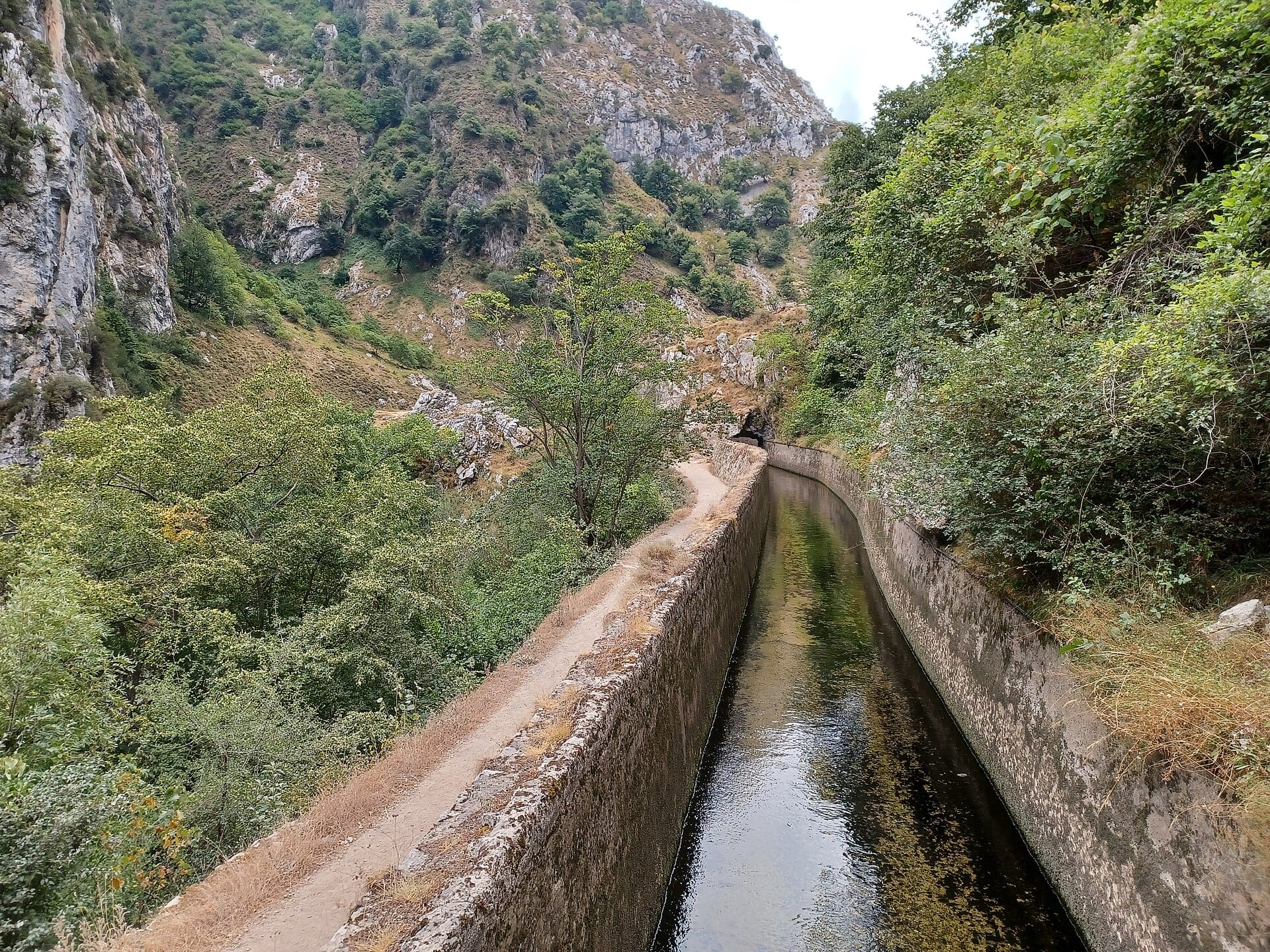
The Cares path threads through limestone walls between Poncebos and Caín, with an initial climb from Poncebos and long sections beside unguarded drops. Asturias tourism lists its return itinerary at about 22 kilometres; starting points affect the total. This is a long, exposed day, with rockfall risk as well as walking effort. Arrange a confirmed road transfer for a one-way walk, or choose a shorter return with a clear turnaround time. The road transfer is much longer than the map’s straight line suggests.
5. Snowdon via the Llanberis Path, Wales
Explore destination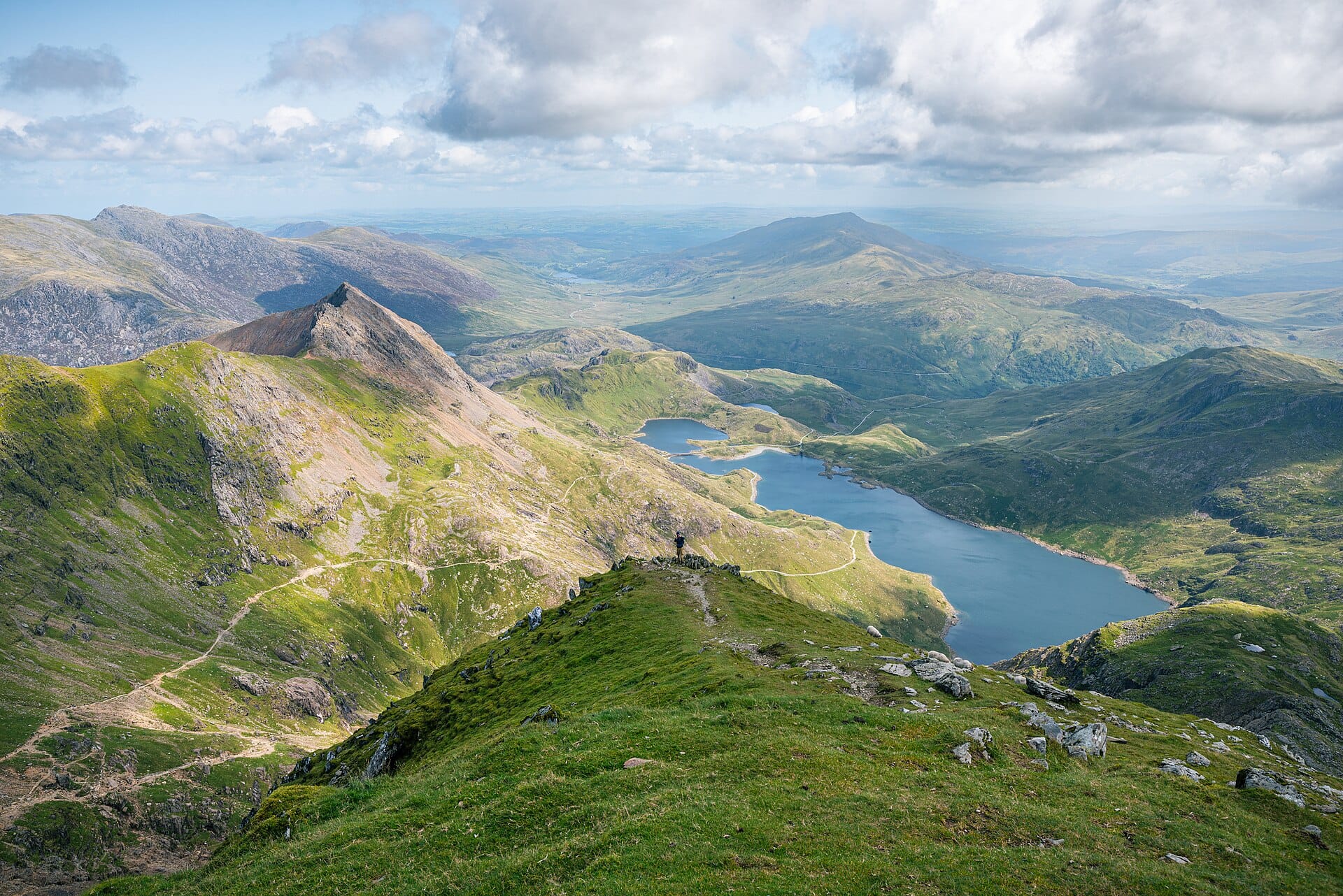
The Llanberis Path is the longest main route up Yr Wyddfa, often called Snowdon, and follows the railway side of the mountain. Eryri grades it hard/strenuous: 14.5 kilometres return, about seven hours and 975 metres of ascent. A broad path does not remove the effort or the exposure to mountain weather. Carry navigation, food and layers, and plan to walk back down; an uphill walk does not guarantee a seat on the train. Winter conditions require winter mountain skills.
6. Ben A'an, Trossachs, Scotland
Explore destination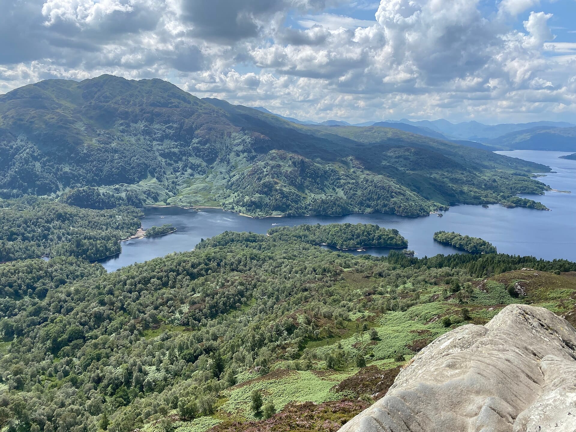
Ben A’an earns its mountain-in-miniature reputation with a steep climb and a wide view across the Trossachs. Forestry and Land Scotland describes the hill path as strenuous, so allow a proper outing and choose footwear for rough, wet ground. The summit rocks need care, especially in wind. If a sustained climb is too much for your group, choose a lower forest or lochside route rather than treating the small summit height as an easy grade.
7. Morskie Oko, Tatras, Poland
Explore destination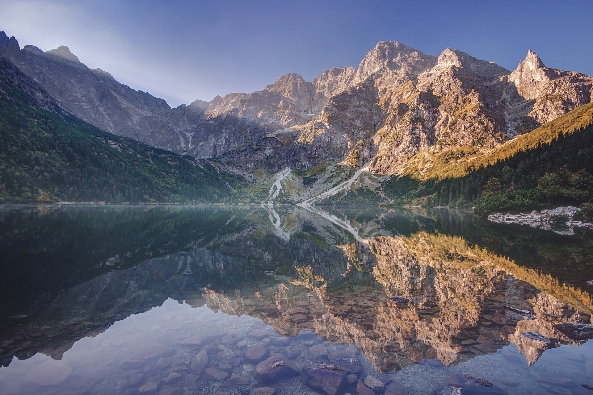
The approach from Palenica Białczańska to Morskie Oko is largely on a paved road, but roughly eighteen kilometres out and back makes it a full walking day for many visitors. The lake sits below steep granite faces and is a worthwhile destination in its own right. Czarny Staw pod Rysami is an additional, steep mountain climb beyond the lake, with a separate time and weather decision. Reserve parking where required and check the Polish park’s trail notices; the paved approach can still be icy.
8. Lac Blanc, Chamonix, France
Explore destination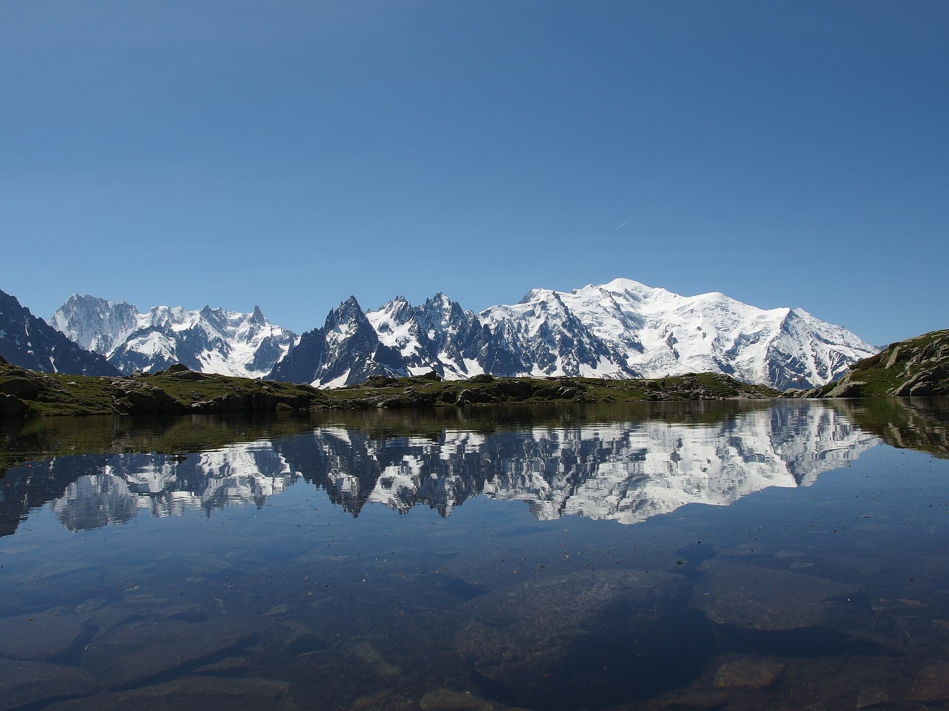
Lac Blanc reflects the Mont Blanc massif on a clear, still day, and lift access can shorten the approach. The route you choose matters: rocky climbs, exposed sections and, on some approaches, ladders make this more than a casual lake stroll. Ask for current conditions and a route suited to your experience, especially when snow remains. Leave a margin before the last lift and keep a lower viewpoint as an alternative when the high path is unsuitable.
9. Preikestolen, Norway
Explore destination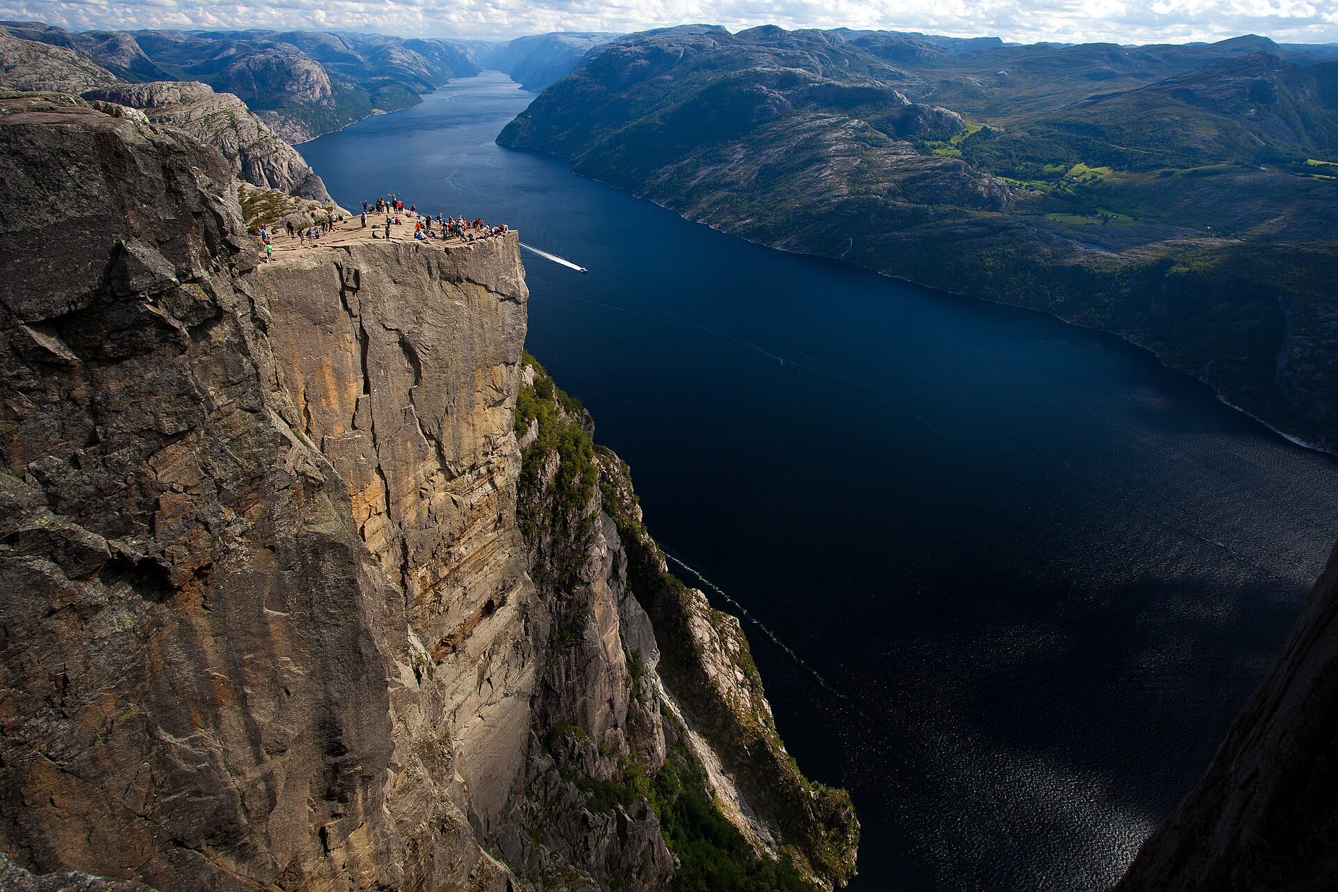
Preikestolen rises above Lysefjord at the end of an eight-kilometre return walk with about 500 metres of ascent. The trail organisation suggests around four hours, before a generous allowance for rests, and grades it moderate. Expect stone steps and uneven ground. The plateau has unguarded edges: enjoy the view from well back. Winter needs different equipment and experience, and a guided outing is worth considering for less experienced walkers.
10. Old Man of Storr, Isle of Skye, Scotland
Explore destination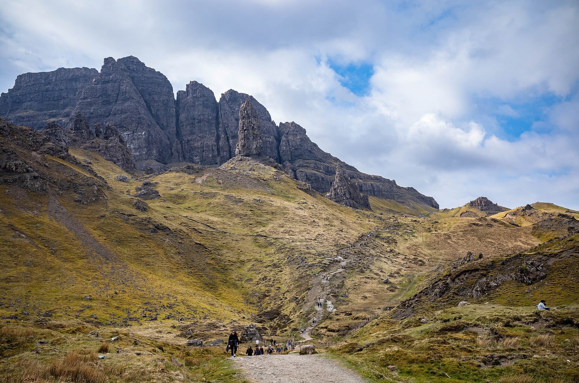
The Old Man of Storr’s pinnacles rise above a steep path with views across Skye and the Sound of Raasay. A visit to the main viewpoints is shorter than a full circuit, but wet steps, mud and strong wind can make either demanding. Allow a flexible half-day from your base rather than promising a ninety-minute return. Stay on the managed paths and use the designated parking; an early visit can help with crowds but does not guarantee clear skies or solitude.
Match the route to the day
Start with the shortest route that gives your group a worthwhile view. Compare distance, ascent, footing and exposure, then add the forecast and available daylight. Save the relevant official route description offline and agree a turnaround time. The source links below distinguish the short lake approach from the longer mountain routes.
Useful official information: Forestry and Land Scotland: Ben A’an; Asturias: Cares route and exposed sections; Eryri: Llanberis Path distance and grade; Oeschinensee walking routes and current status; Preikestolen trail information.
Photo credits
- Header: Deralpinbergsteiger, CC BY-SA 4.0. Display copy resized or cropped.
- Tre Cime di Lavaredo loop, Dolomites, Italy: This Photo was taken by Wolfgang Moroder. Feel free to use my photos, but please mention me as the author and send me a message. This image is not in the public domain. Please respect the copyright protection. It may only be used according to the rules mentioned here. This specifically excludes use in social media, if applicable terms of the licenses listed here not appropriate. Please do not upload an updated image here without consultation with the Author. The author would like to make corrections only at his own source. This ensures that the changes are preserved.Please if you think that any changes should be required, please inform the author.Otherwise you can upload a new image with a new name. Please use one of the templates derivative or extract., CC BY-SA 3.0. Display copy resized or cropped.
- Seceda ridgeline, Dolomites, Italy: Wolfgang Moroder, CC BY-SA 3.0. Display copy resized or cropped.
- Cares Gorge, Picos de Europa, Spain: Simon Burchell, CC BY-SA 4.0. Display copy resized or cropped.
- Snowdon via the Llanberis Path, Wales: Julian Herzog (Website), CC BY 4.0. Display copy resized or cropped.
- Ben A'an, Trossachs, Scotland: Aais6, CC BY-SA 4.0. Display copy resized or cropped.
- Morskie Oko, Tatras, Poland: Aneta Pawska, CC BY 3.0. Display copy resized or cropped.
- Lac Blanc, Chamonix, France: Guilhem Vellut from Annecy, France, CC BY 2.0. Display copy resized or cropped.
- Preikestolen, Norway: Svein Magne Tunli, CC BY-SA 4.0. Display copy resized or cropped.
- Old Man of Storr, Isle of Skye, Scotland: rboed*, CC BY 2.0. Display copy resized or cropped.