
Wild Atlantic Way
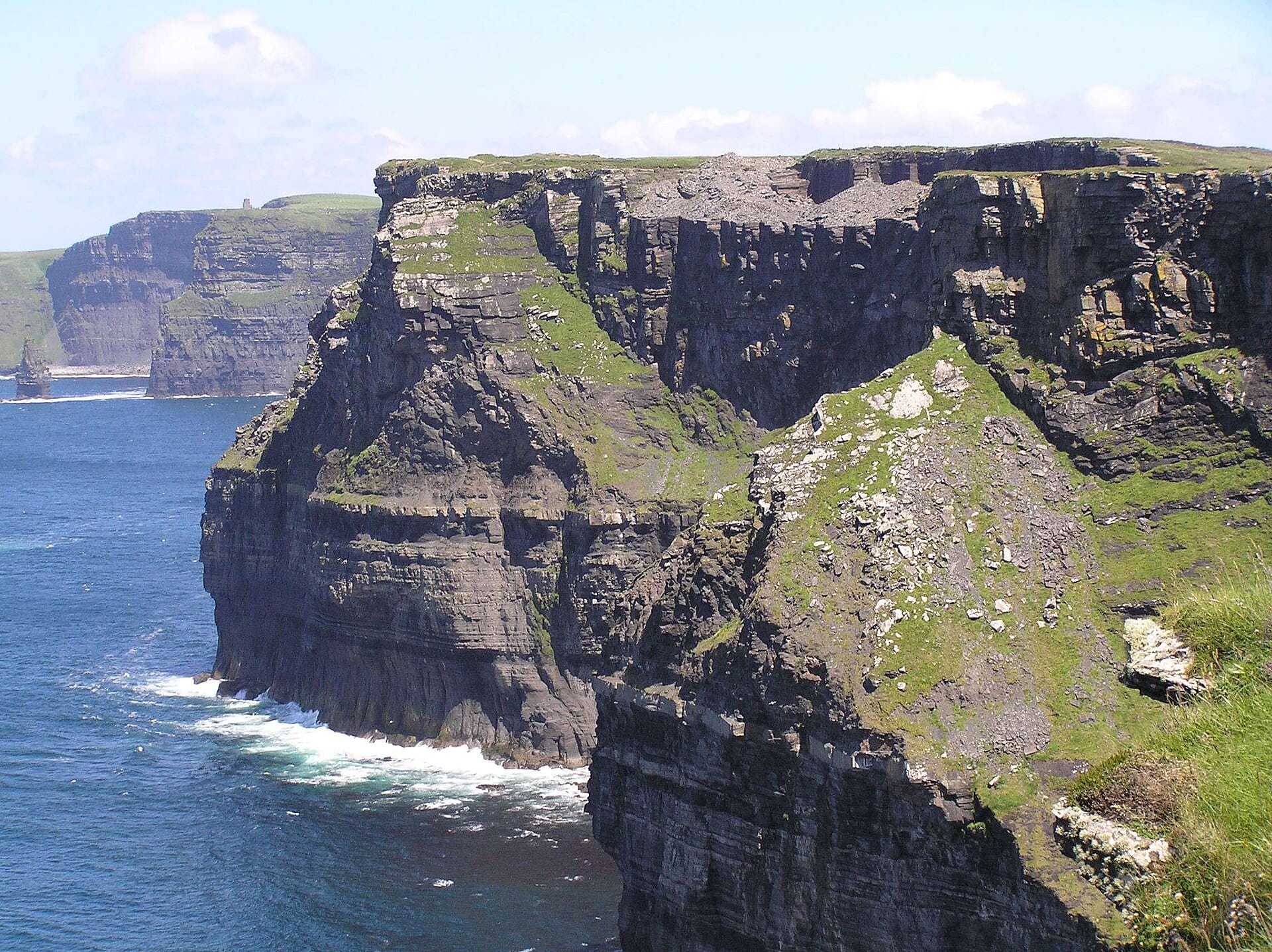
At 2,500 kilometres, Ireland's west-coast route is less a road trip than a lifestyle, so pick a chapter: the Ring of Kerry for lakes and lamb-blocked lanes, Connemara for bog and mountain, Clare for the Cliffs of Moher dropping 200 metres into the Atlantic.
- Best forRoad-trippers · Walkers & hikers · Photographers
- In September16°C · 15 rainy days
- Ideal stayA week or more
- Approx. flying time~10h 20m from Los Angeles
- CurrencyEUREuro
- LanguageEnglish and Irish
- Local time11:13same time as the UK
- PlugsType GUK plugs fit
- Drive on theLeftSame as the UK
- Dialling code+353
Why go
Ireland's western edge has been signposted as a single route, but the interest is in the texture rather than the length. Cliffs give way to strands, then bog, then a harbour with three boats and a pub with a fire lit in June. Roads narrow without warning, sheep have right of way, and weather arrives from the ocean in fifteen minute instalments. Progress is slow, which turns out to be the appeal.
Nobody sensible drives the whole thing in one go. Pick a stretch: Kerry and the Dingle peninsula, Clare and the Burren, Connemara and Mayo, or Sligo up into Donegal. A week covers one region properly with time for walks, boat trips and unplanned stops. May and September give long light and thinner traffic. July and August fill the coastal towns and make the narrow lanes hard work.
- Ideal stay
- A week or more
- The vibe
- Windswept, sociable, endlessly detouring
From our guides
Distances are short but the stopping is compulsive — pubs, harbours, sudden beaches. May and September give the best light without the coach traffic. Budget double the driving time Google suggests; the detours are the point.
Featured in Ten epic road trips for your someday list
Things to do
-
Slea Head Drive, Dingle
A looping coastal road past beehive huts and stone forts, with the Blasket Islands offshore. Drive it clockwise, as the local convention and the parking dictate.
-
The Burren and Cliffs of Moher
Bare limestone pavement full of rare flowers, ending in cliffs that fall around 200 metres into the sea. Walk the clifftop path rather than only parking at the centre.
-
Connemara and Killary
Bog, quartzite peaks and Ireland's only true fjord cutting inland below the Mweelrea mountains. Good walking, and a landscape that changes with every shower.
-
Slieve League, Donegal
Sea cliffs rising to around 600 metres, far higher than Moher and far less visited. The upper viewpoint and the ridge walk beyond reward decent weather.
-
Achill Island's Atlantic Drive
Reached by bridge from Mayo, with Keem Bay's horseshoe strand at the end of a hair-raising cliff road. Basking sharks are sometimes visible offshore.
-
Ferry to the Aran Islands
Boats from Galway and Doolin reach Inis Mór and its smaller siblings, where stone walls quilt the fields and Dún Aonghasa hangs over a cliff edge.
Getting there
-
Fly to
Shannon (SNN)
Nearest airport to Wild Atlantic Way, about 284km away as the crow flies.
-
Then
To Galway
Shannon (SNN) is the natural gateway for the middle of the route, about an hour and a half by hire car north to Galway. Derry (LDY) only makes sense if you are starting at the far northern tip.
-
On the ground
Getting around
This is a driving route. Pick a chapter, follow the coast road and expect to average far less than the map suggests, because the stopping is the whole point.
Public transport: Poor once you leave the towns. Buses link Galway, Westport and Killarney, but the headlands, coves and cliff car parks need a car.
Flights
Los Angeles Wild Atlantic Way, Ireland
Fly from anywhere — search 4,000+ airports worldwide.
Roughly 10h 20m in the air from Los Angeles (LAX), estimated from the distance — check for a direct route. Pick a month to see every available flight with live prices.
Check dates and prices
Pick your departure date, then your return.
Search flightsNot sure when? Compare fares across a whole month.
Flight times are estimates; prices open on Google Flights.
When to go
Daytime highs run from about 8°C in January to 17°C in August. Wettest in October, with rain on about 21 days.
The year at a glance — pick a month for detail
September16° · rain 15 daysCool and often wet.
Monthly figures averaged from daily records for 2020–2024 at this location (ERA5 reanalysis). Live conditions from MET Norway, CC BY 4.0.
Where to stay
Bed and breakfasts in family homes, town guesthouses, self-catering cottages and a scattering of country-house hotels. Chains exist only in the bigger towns.
-
Best base overall
Galway
The obvious city stop, roughly halfway up the route, with music in the pubs every night and roads into Connemara and Clare. Parking is a nuisance and rooms go fast.
Find stays in Galway -
Closest to the sights
Doolin
A scatter of houses in Clare within sight of the Cliffs of Moher, with three famous music pubs and boats to the Aran Islands. Accommodation is limited and books out early.
Find stays in Doolin -
Best with children
Westport
A well-kept Mayo town with a greenway cycle path, beaches nearby and family-sized rooms. It is a long way north, so it suits a chapter rather than the whole coast.
Find stays in Westport -
Quietest
Clifden
Connemara's small capital, surrounded by bog, mountain and empty beaches, with the Sky Road on the doorstep. Restaurants close early and out of season much shuts.
Find stays in Clifden
Worth knowing before you book: Pick one region rather than the whole route and book bed and breakfasts a few weeks ahead for July and August. Many west-coast places close from November to March.
Search everything else in Galway by budget. These are indicative budget bands in GBP per night for two people, not live quotes or guarantees of hotel type. Check your dates, guests, taxes and final price on Booking.com.
Good to know
- Driving
- Left-hand side, single track lanes and blind bends with high hedges. Budget double the time any mapping app suggests, and reverse politely when required.
- Weather
- Four seasons in an afternoon is not a joke here. Waterproof jacket and boots earn their place in the boot even in July.
- Book ahead
- Coastal towns have limited beds and fill from June to August, particularly at weekends. Ferries to the islands also sell out in high season.
- Fuel and cash
- Petrol stations thin out in Connemara and west Donegal, and some rural pubs and B and Bs still prefer cash. Fill up when you pass a station.
- Timing
- May, June and September give the best balance of light, weather and space. Many rural attractions and boat services close from November to March.
Similar places
Further afield
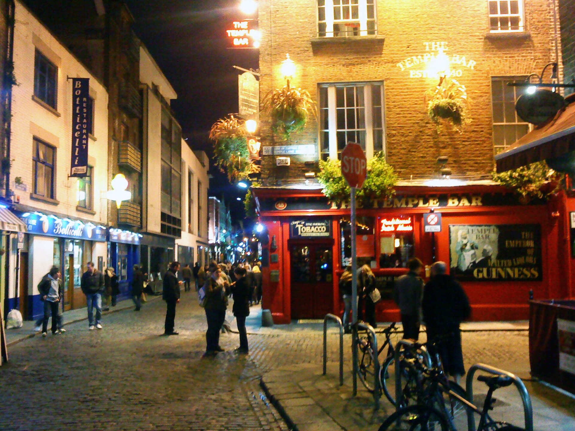
Dublin
Ireland · 202km away →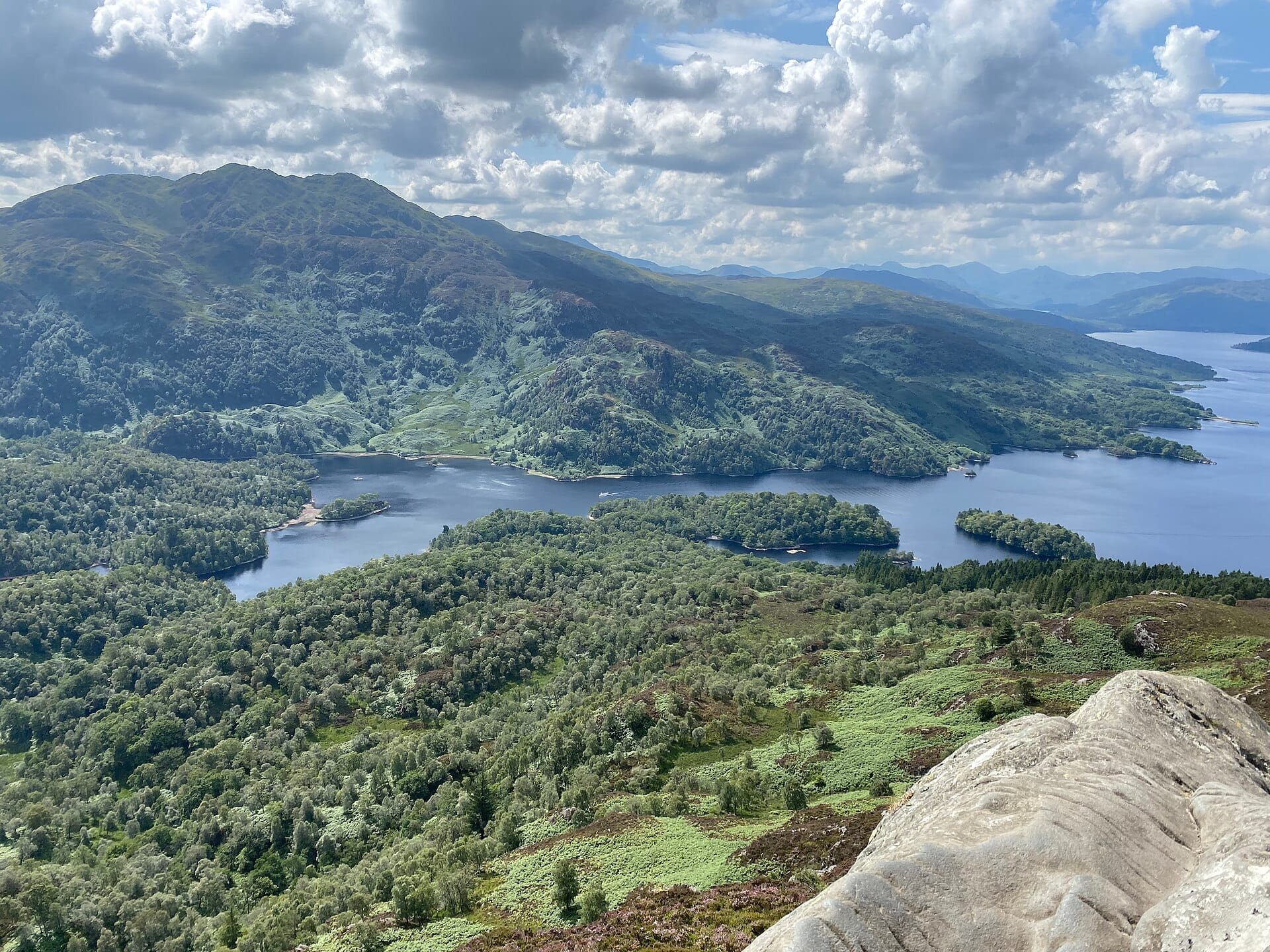
Ben A'an
Trossachs, Scotland · 215km away →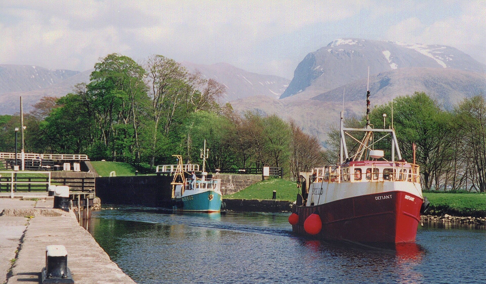
Ben Nevis
Scotland · 239km away →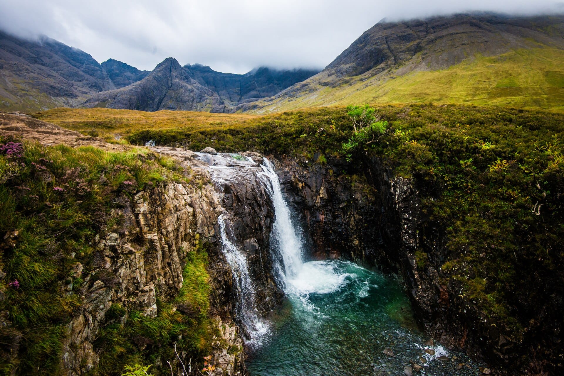
The Fairy Pools
Isle of Skye, Scotland · 263km away →
Edinburgh Fringe
Scotland · 275km away →
Bealach na Bà
Scotland · 279km away →Elsewhere in Ireland
Related articles
Quick answers
When is the best time to visit Wild Atlantic Way?
Daytime highs run from about 8°C in January to 17°C in August. Wettest in October, with rain on about 21 days.
How long should I spend in Wild Atlantic Way?
Our suggestion: a week or more.
How do I get to Wild Atlantic Way?
Shannon (SNN) is the natural gateway for the middle of the route, about an hour and a half by hire car north to Galway. Derry (LDY) only makes sense if you are starting at the far northern tip.
Do I need a car in Wild Atlantic Way?
Yes, a car makes a real difference here. Poor once you leave the towns. Buses link Galway, Westport and Killarney, but the headlands, coves and cliff car parks need a car.
What currency and language are used in Wild Atlantic Way?
Currency: Euro (EUR). Language: English and Irish. Plugs: type G.
Who is Wild Atlantic Way best for?
Best for road-trippers, walkers & hikers and photographers. In a phrase: windswept, sociable, endlessly detouring.