
Tre Cime di Lavaredo
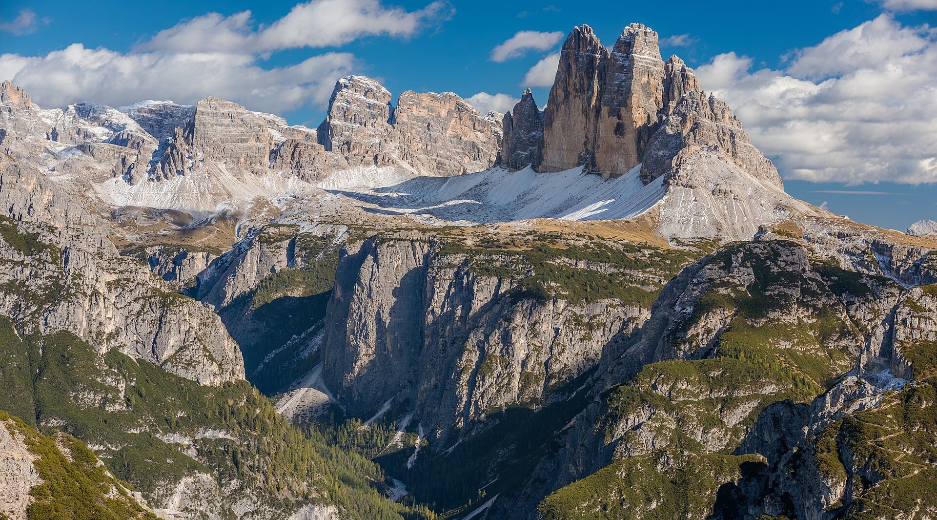
The famous three towers anchor a corner of the Dolomites that works brilliantly as a first hut-to-hut trip: string together the Locatelli, Pian di Cengia and Comici refuges over two or three days and you get iron-grey walls, wildflower shelves and strudel on tap.
- Best forWalkers & hikers · Photographers · Adventure seekers
- In August12°C · 23 rainy days
- Ideal stay3–4 nights in the area
- Approx. flying time~12h 20m from Los Angeles
- CurrencyEUREuro
- LanguageItalian
- Local time12:171h ahead of the UK
- PlugsType C / F / LBring an adapter
- Drive on theRightOpposite to the UK
- Dialling code+39
Why go
Three pale limestone towers stand in a row above a high plateau, and the ten kilometre loop around them is one of the most popular walks in the Alps for good reason. The path is broad, well signed and never technical, with around 350 metres of ascent and refuges spaced conveniently along it. First World War tunnels and gun positions are cut into the surrounding rock.
You can walk the loop in about four hours from the Auronzo hut, reached by a toll road from Misurina or by summer bus. Better still, stay a night at a refuge and see the towers at dawn and dusk without the day crowds. The season runs from around late June to early October. Base yourself near Cortina, Dobbiaco or the Sesto valley for a longer trip.
- Ideal stay
- 3–4 nights in the area
- The vibe
- Vertical, pale grey, high summer
From our guides
Three colossal limestone towers, one ten-kilometre circuit, zero technical difficulty — the Tre Cime loop is the Dolomites' greatest hits in about four hours. Start from the Auronzo hut (drive or bus up), walk anticlockwise and let the towers rotate through every profile. Refuges en route serve strudel at strategic weakness points. Go early or late in the day; the light is the show.
Featured in Ten national parks for your first proper trek and Ten spectacular mountain walks for ordinary fitness levels
Things to do
-
The loop itself
Ten kilometres anticlockwise from the Auronzo hut, with the towers turning through every profile as you go. Broad tracks, clear signs and no scrambling required.
-
Rifugio Locatelli
The hut with the classic head-on view of the north faces, and the busiest lunch stop on the circuit. Book a long way ahead to sleep there.
-
The north faces at dusk
Low evening light on the walls is the reason to stay up rather than drive down. The same holds at sunrise, with even fewer people about.
-
First World War remains
Tunnels, galleries and gun positions run through Monte Paterno and the surrounding ridges, and some are open to walk through with a torch.
-
Lago di Misurina
A lake below the toll road that holds a reflection of the peaks on a still morning. It is where nearly everyone stops on the way up.
-
Hut to hut onwards
Linking Locatelli with Pian di Cengia and the Sesto valley huts turns a day walk into a straightforward two or three day traverse.
Getting there
-
Fly to
Treviso (TSF)
Nearest airport to Dolomites, about 108km away as the crow flies.
-
Then
To Cortina d'Ampezzo
About two hours by hire car from Bolzano (BZO), east over the Dolomite passes to Cortina d'Ampezzo. Many visitors instead fly into Venice and drive up in a similar time.
-
On the ground
Getting around
From Cortina it is around forty minutes by car to Misurina and then a toll road up to the Auronzo hut, where the ten-kilometre loop starts. A seasonal bus covers the same climb in summer.
Public transport: Summer Dolomiti buses link Cortina, Misurina and the Auronzo hut, but services thin out sharply outside July and August.
Flights
Los Angeles Dolomites, Italy
Fly from anywhere — search 4,000+ airports worldwide.
Roughly 12h 20m in the air from Los Angeles (LAX), estimated from the distance — check for a direct route. Pick a month to see every available flight with live prices.
Check dates and prices
Pick your departure date, then your return.
Search flightsNot sure when? Compare fares across a whole month.
Flight times are estimates; prices open on Google Flights.
When to go
Daytime highs run from about -8°C in January to 12°C in July. Driest in January and February; wettest in June, with rain on about 25 days.
The year at a glance — pick a month for detail
August12° · rain 23 daysCool and often wet.
Monthly figures averaged from daily records for 2020–2024 at this location (ERA5 reanalysis). Live conditions from MET Norway, CC BY 4.0.
Where to stay
Alpine hotels, garni bed and breakfasts, family pensioni and the mountain refuges on the loop. Self-catering apartments exist but are snapped up months ahead.
-
Best base overall
Cortina d'Ampezzo
Smart, well served and about an hour from the Auronzo toll road, with summer buses to the trailhead. Prices reflect the name, so you pay for the address.
Find stays in Cortina d'Ampezzo -
Closest to the sights
Misurina
A lakeside hamlet at the bottom of the toll road, near enough to reach Auronzo before the barrier queues form. Restaurant choice runs to a handful of hotel dining rooms.
Find stays in Misurina -
Best value
Dobbiaco
Down on the Pusteria valley floor, with cheaper guesthouses, a railway station and the summer bus up to Auronzo. Twenty minutes further out, and far kinder on the budget.
Find stays in Dobbiaco -
Best with children
Auronzo di Cadore
A lake town below the towers with swimming, playgrounds and family pensioni, plus a direct road up. The drive to the trailhead is long and winding, so plan around naps.
Find stays in Auronzo di Cadore
Worth knowing before you book: Refuge beds for July and August need reserving in spring, and several huts still take cash only. The Auronzo road charges a toll and its car park fills by mid-morning.
Search everything else in Cortina d'Ampezzo by budget. These are indicative budget bands in GBP per night for two people, not live quotes or guarantees of hotel type. Check your dates, guests, taxes and final price on Booking.com.
Good to know
- Parking
- The Auronzo hut car park sits at the end of a toll road and fills by mid-morning in summer. Arrive very early or take the seasonal bus from Cortina or Dobbiaco.
- Book ahead
- Refuge beds for July and August are taken by spring. Reserve as soon as the huts open bookings for the season.
- Cash
- Some huts still prefer cash and the mobile signal is unreliable. Carry euros for lunches, drinks and bed charges.
- Weather
- Afternoon thunderstorms are common in summer and there is little shelter on the loop. Start early and be off the exposed sections by early afternoon.
- Language
- This is South Tyrol as well as Italy, so place names appear in German and Italian, and the towers are also called the Drei Zinnen. Both turn up on signs.
Similar places
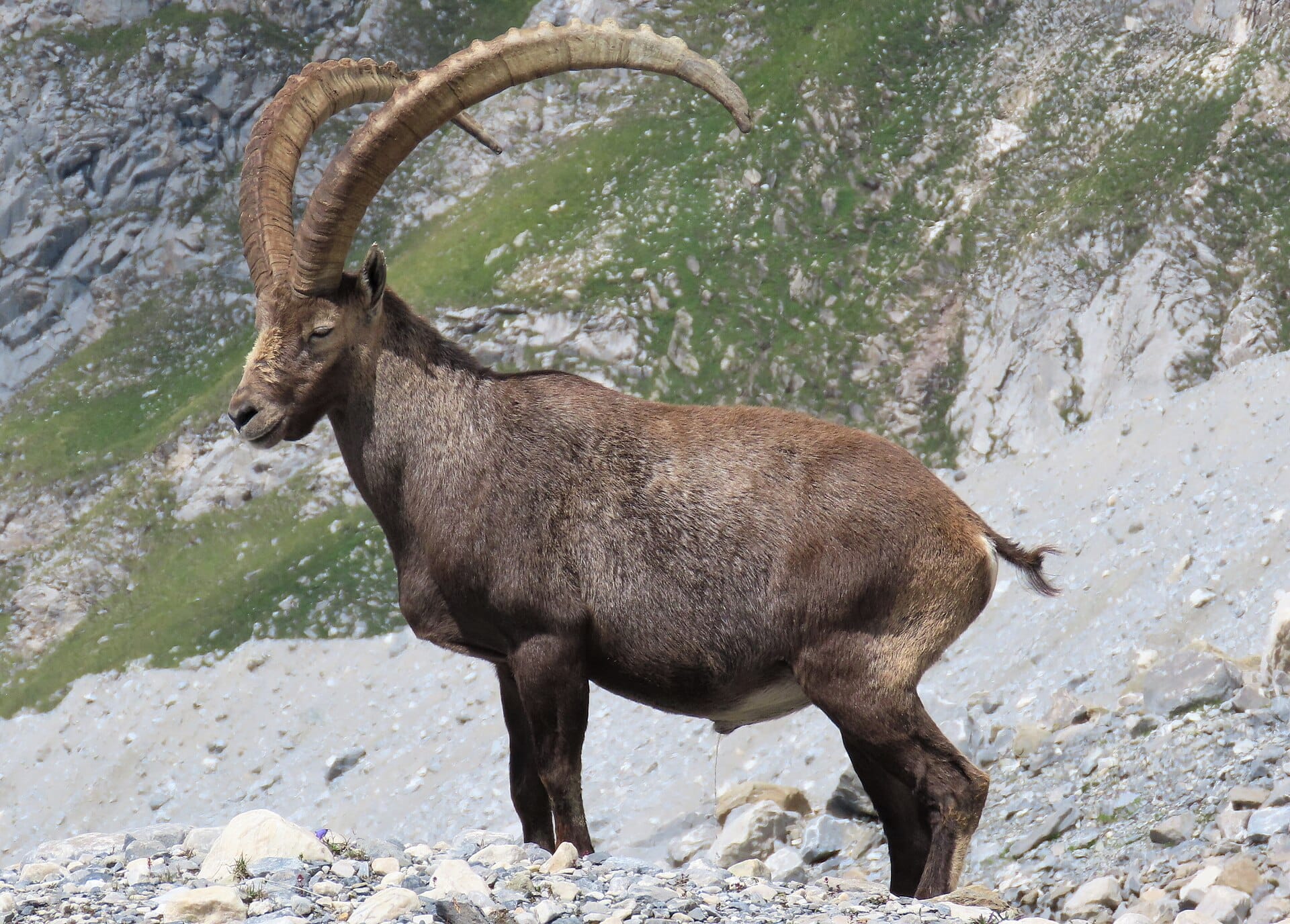
Vanoise National Park
FranceAlso for walkers & hikers and adventure seekers · 14°C in August (12°C here)
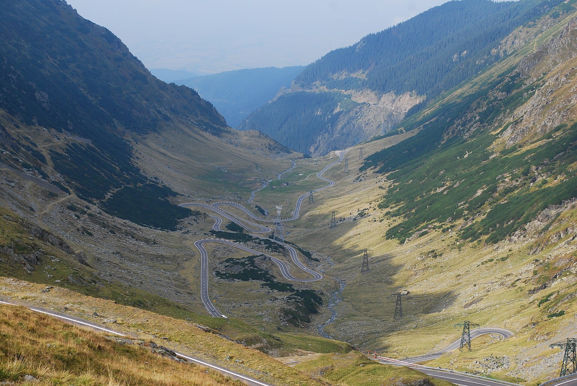
Transfăgărășan
RomaniaAlso for photographers and adventure seekers · 16°C in August (12°C here) · cheaper to stay
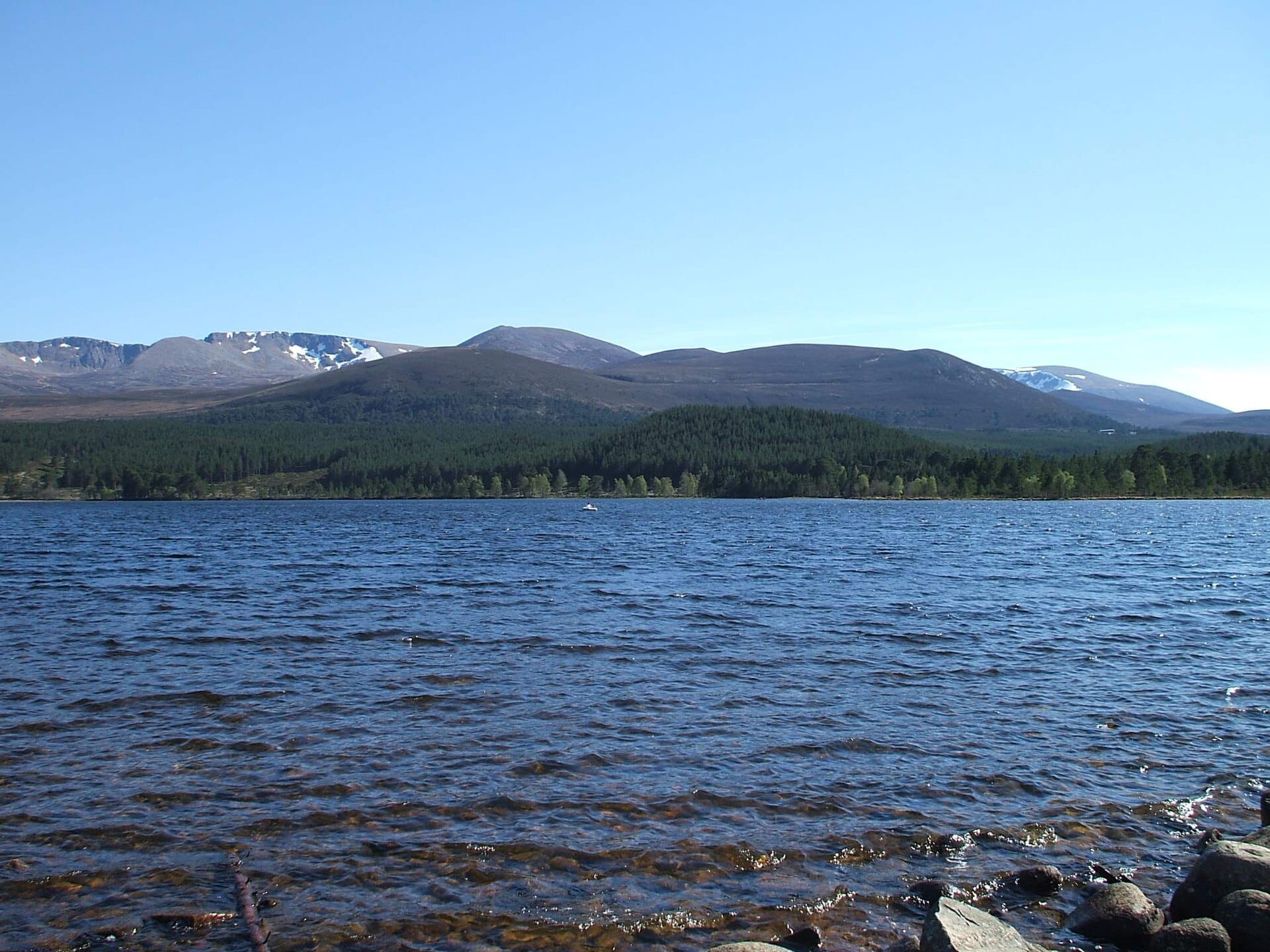
Cairngorms
ScotlandAlso for walkers & hikers and adventure seekers · 13°C in August, as here
Nearby destinations
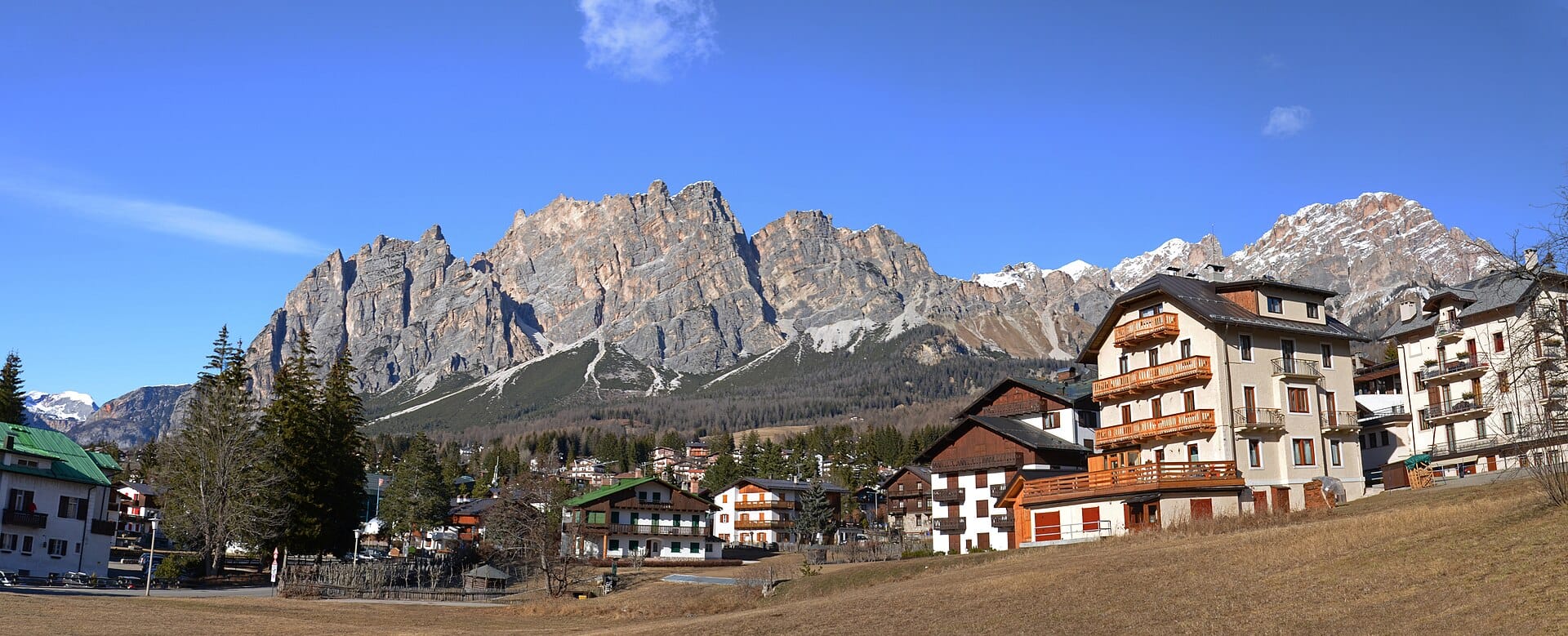
Cortina d'Ampezzo
Italy · 14km away →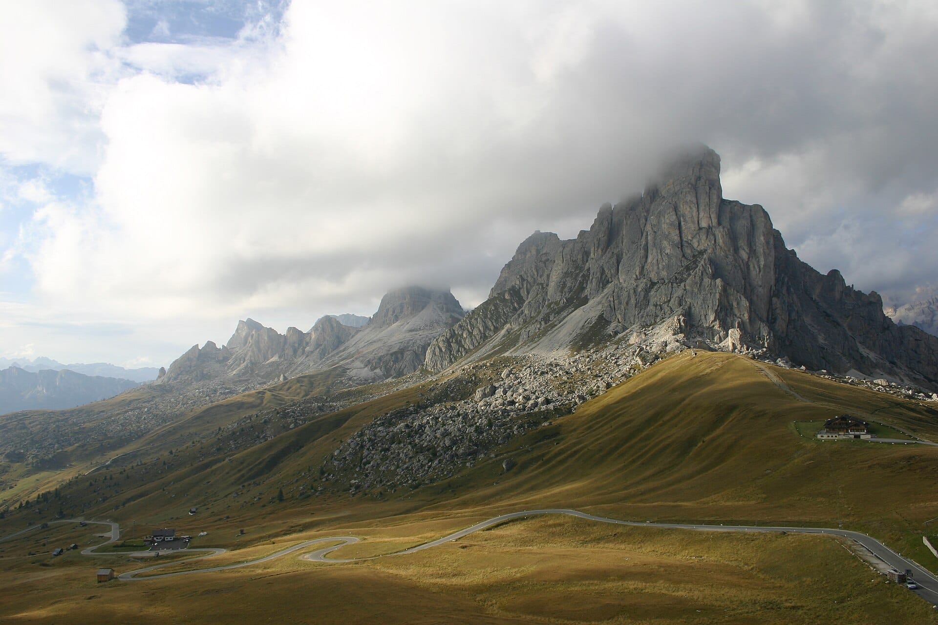
Passo Giau
Dolomites, Italy · 24km away →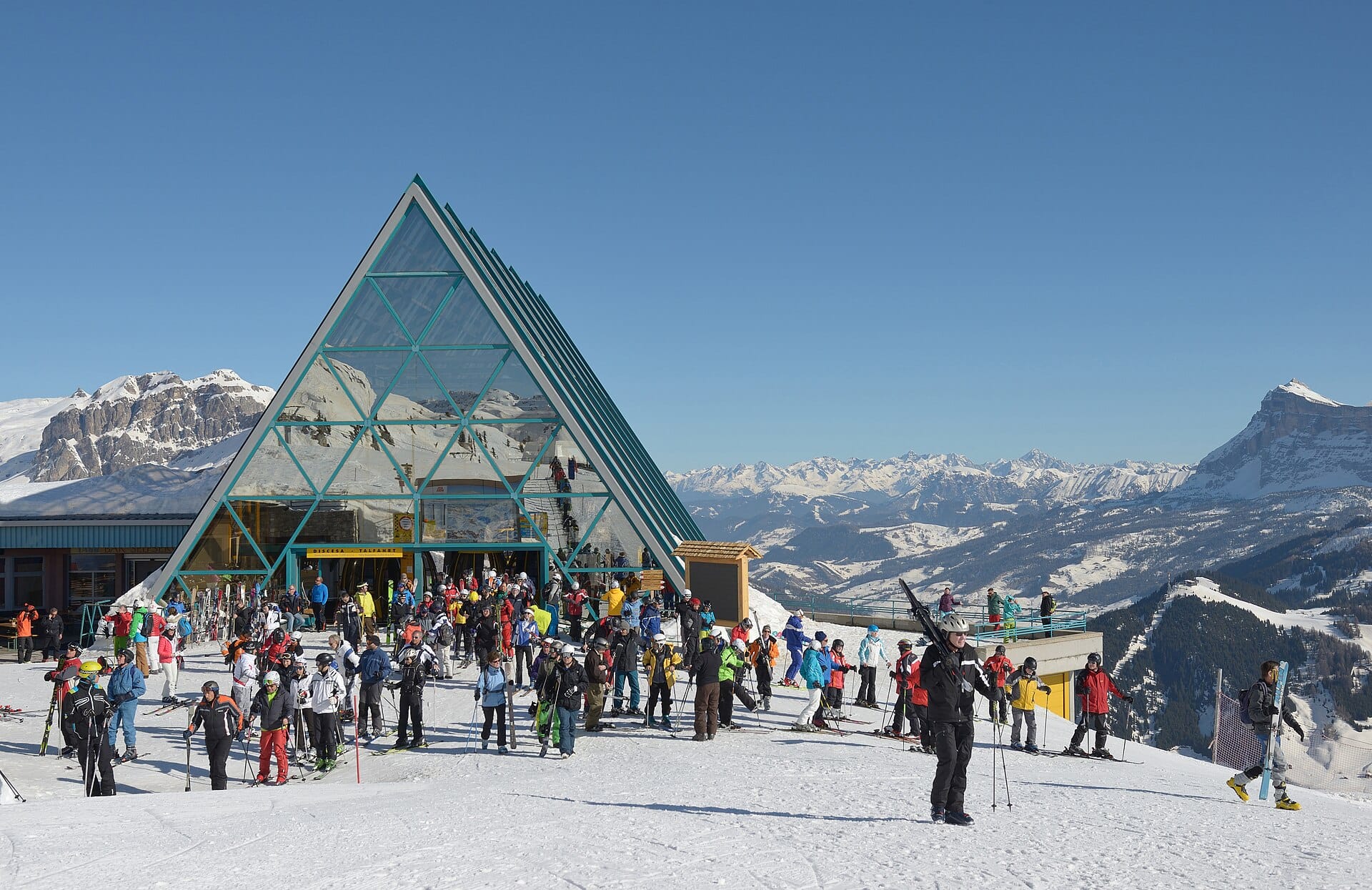
Alta Badia
the Dolomites, Italy · 30km away →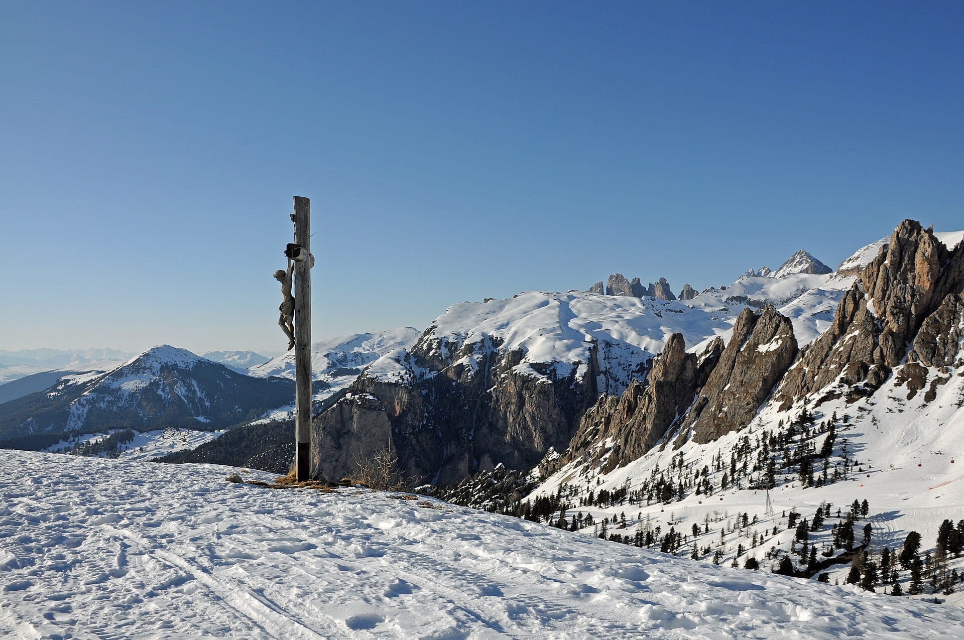
Seceda ridgeline
Dolomites, Italy · 41km away →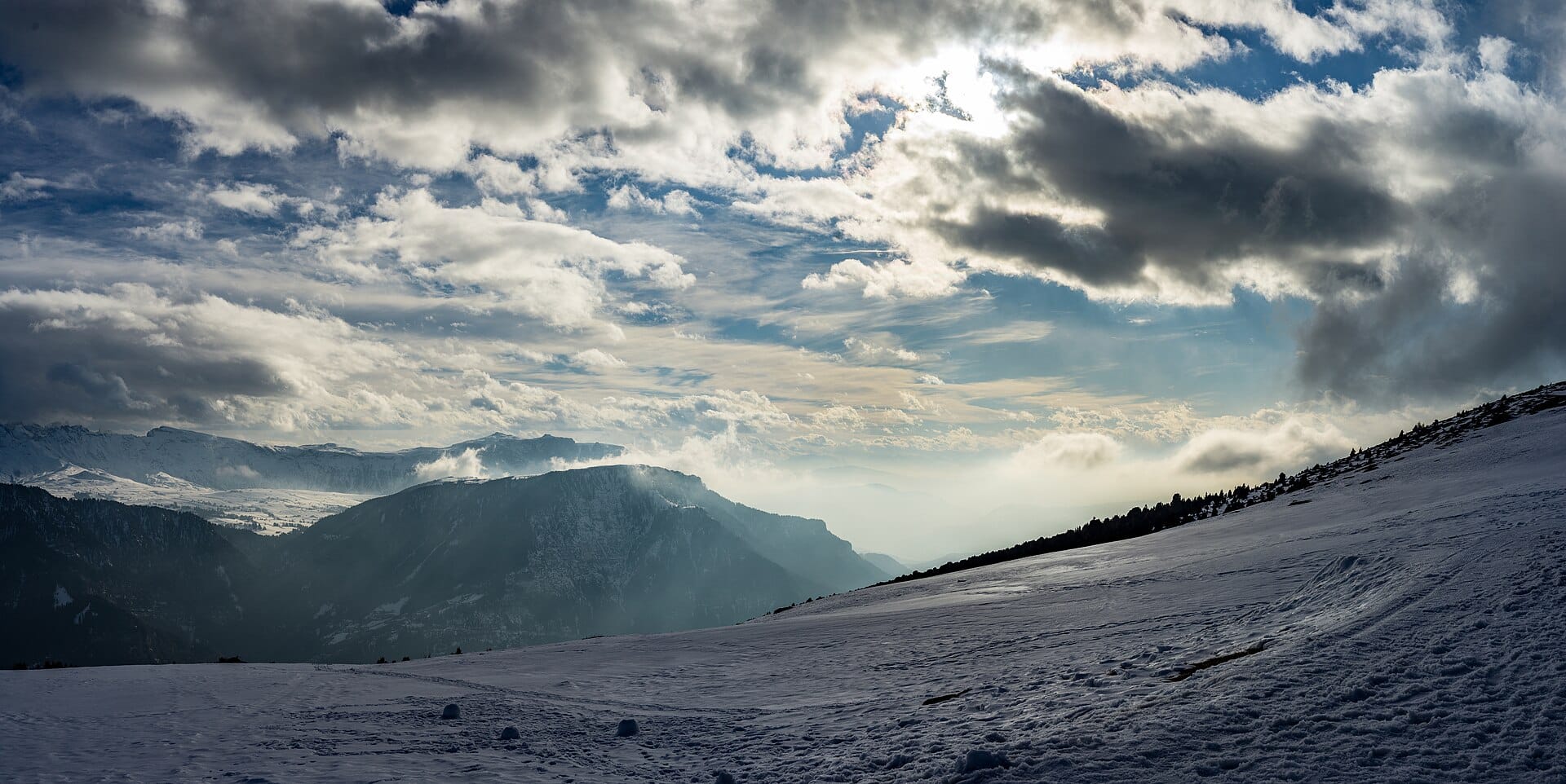
Snowshoeing in the Dolomites
Italy · 41km away →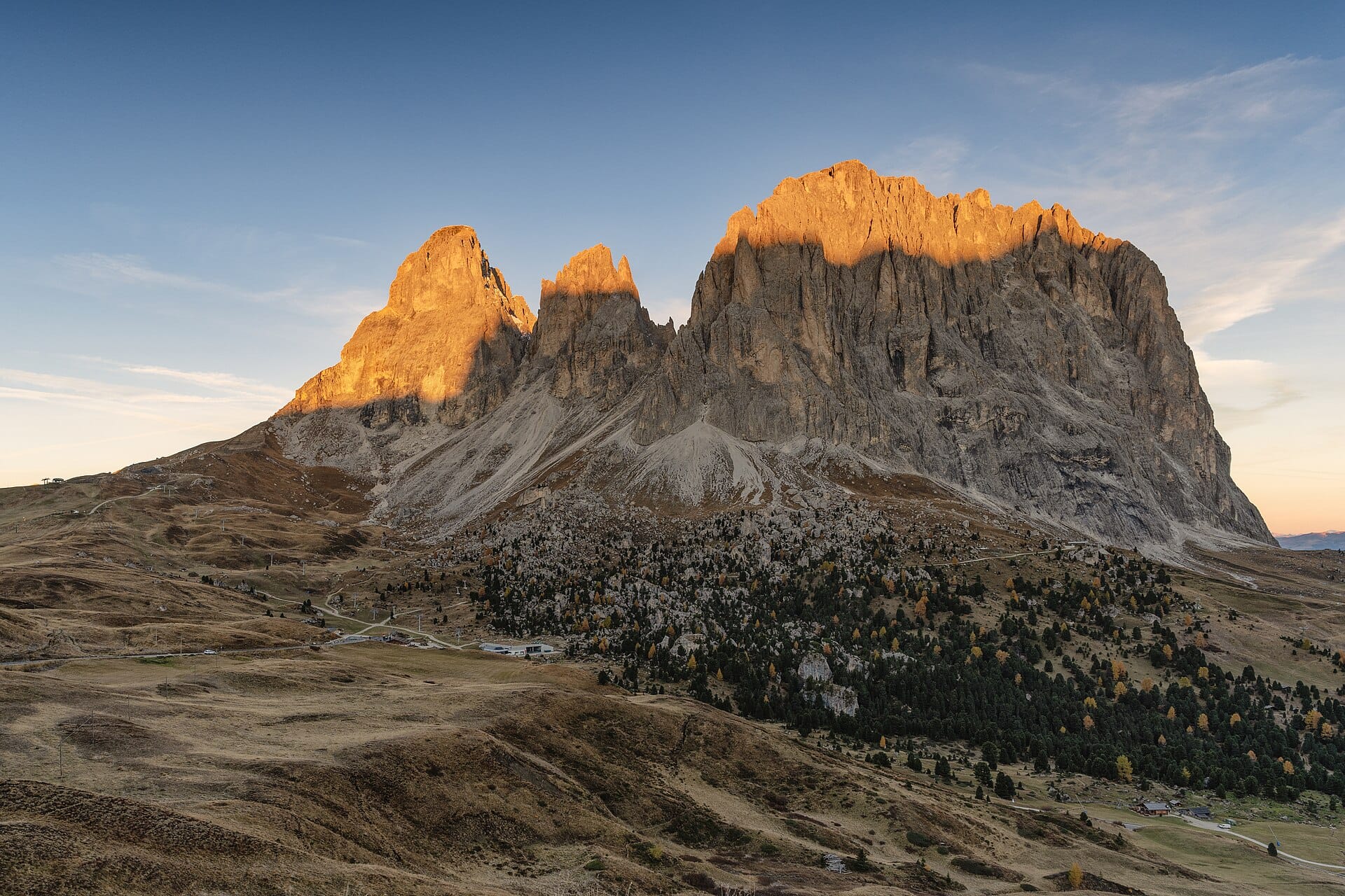
Sella Pass
Dolomites, Italy · 42km away →Elsewhere in Italy
Related articles
Quick answers
When is the best time to visit Tre Cime di Lavaredo?
Daytime highs run from about -8°C in January to 12°C in July. Driest in January and February; wettest in June, with rain on about 25 days.
How long should I spend in Tre Cime di Lavaredo?
Our suggestion: 3–4 nights in the area.
How do I get to Tre Cime di Lavaredo?
About two hours by hire car from Bolzano (BZO), east over the Dolomite passes to Cortina d'Ampezzo. Many visitors instead fly into Venice and drive up in a similar time.
Do I need a car in Tre Cime di Lavaredo?
Yes, a car makes a real difference here. Summer Dolomiti buses link Cortina, Misurina and the Auronzo hut, but services thin out sharply outside July and August.
What currency and language are used in Tre Cime di Lavaredo?
Currency: Euro (EUR). Language: Italian. Plugs: type C and F and L.
Who is Tre Cime di Lavaredo best for?
Best for walkers & hikers, photographers and adventure seekers. In a phrase: vertical, pale grey, high summer.