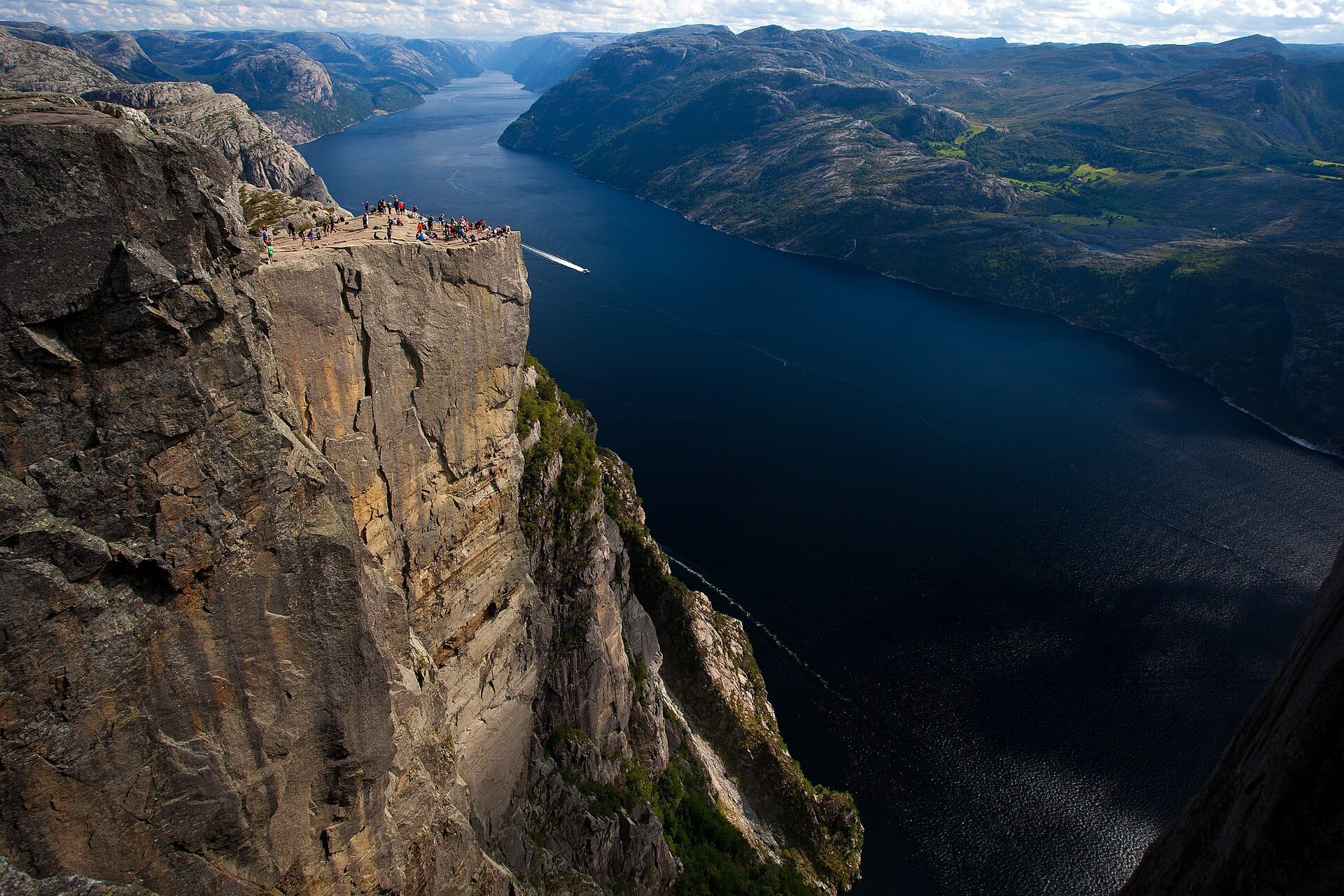
Preikestolen
The Preikestolen trail climbs through forest, rock steps and open terrain to an unfenced plateau over Lysefjord.
- Best forWalkers & hikers · Photographers · Adventure seekers
- In December0°C · 20 rainy days
- Ideal stayA route-dependent day outing; allow time for the return
- Est. flying timeChoose your city
- CurrencyNOKNorwegian krone
- LanguageNorwegian
- Local time23:431h ahead of the UK
- PlugsType C / FBring an adapter
- Drive on theRightOpposite to the UK
- Dialling code+47
Why go
The trail organisation lists eight kilometres return, about four hours and 500 metres of ascent. Allow extra time and enjoy the view from well back; winter needs appropriate equipment and experience.
- Ideal stay
- A route-dependent day outing; allow time for the return
- The vibe
- Granite, vertigo, cold clear air
Featured in Ten spectacular mountain walks, with honest difficulty advice
Things to do near Preikestolen
-
The ledge itself
A flat platform of bare granite, unfenced, with the fjord directly below. Sit well back from the edge and let the photograph queue sort itself out.
-
The stone staircases
Sherpa-built steps make up much of the climb, uneven and hard on the knees coming down. Poles are worth their weight.
-
Lysefjord by boat
Cruises along the fjord pass beneath Pulpit Rock and give you the scale that the walk itself cannot.
-
Kjeragbolten
The boulder wedged in a chasm further up the same fjord, a longer and more demanding walk for anyone wanting a second big day.
-
Stavanger old town
A few hundred white wooden houses above the harbour, plus the petroleum museum, useful for the day before or after.
-
Late light on the plateau
Long Nordic evenings in June and July let you set off after the crowds and still get back down in daylight.
How to get to Preikestolen
-
Fly to
Stavanger (SVG)
Nearest airport to Preikestolen, about 34km away as the crow flies.
-
Then
To Stavanger
Stavanger (SVG) is about twenty minutes from the city centre; the Preikestolen trailhead is roughly an hour further by car, or by bus and ferry combination from the city.
-
On the ground
Getting around
From the lodge car park the walk is around eight kilometres return over stone staircases and boardwalk, taking four to five hours at a comfortable pace.
Public transport: A seasonal bus runs from Stavanger to the trailhead in the hiking months, so a car is optional in summer.
Flights to Preikestolen
Your airport Preikestolen, Norway
Fly from anywhere — search 4,000+ airports worldwide.
Choose where you're flying from to see a rough flight time. Pick a month to see every available flight with live prices.
Check dates and prices
Pick your departure date, then your return.
Search flightsNot sure when? Compare fares across a whole month.
Flight times are estimates; prices open on Google Flights.
Best time to visit Preikestolen
Daytime highs run from about -1°C in January to 15°C in June. Driest April to June and September; wettest in October, with rain on about 22 days.
The year at a glance — pick a month for detail
December0° · rain 20 daysCold and often wet.
Monthly figures averaged from daily records for 2020–2024 at this location (ERA5 reanalysis). Live conditions from MET Norway, CC BY 4.0.
Where to stay near Preikestolen
City hotels in Stavanger, a mountain lodge and campsite at the trailhead, and cabins around the fjord. Norwegian cabins are self-catering, which keeps costs sane.
-
Best base overall
Stavanger
The city an hour away, with the airport, hotels, restaurants and buses to the trailhead. You lose the early start unless you drive yourself, and city rates are high.
Find stays in Stavanger -
Quietest
Preikestolen trailhead
The mountain lodge and campsite at the car park, which is how you leave before seven and beat the coaches. Simple rooms, one dining room and nothing else for miles.
Find stays in Preikestolen trailhead -
Best value
Jørpeland
The small town below the trail, with cheaper guesthouses and apartments fifteen minutes from the car park. Unexciting, well placed, and a supermarket for packing lunches.
Find stays in Jørpeland -
Best with children
Lysebotn and the fjord
Cabins and campsites along the Lysefjord, with boat trips that show the rock from below for anyone not walking. Long drives on hairpin roads, and lovely water on a warm day.
Find stays in Lysebotn and the fjord
Worth knowing before you book: The trailhead lodge is small and books out for July by spring. Car park charges apply and the top fills by eight in high summer, so an early room nearby earns its price.
Search everything else in Stavanger by budget. These are indicative budget bands in GBP per night for two people, not live quotes or guarantees of hotel type. Check your dates, guests, taxes and final price on Booking.com.
Good to know
- Timing
- Car parks fill from early morning in July and August. Starting before eight or after four transforms the walk.
- Pack this
- Waterproofs, warm layers, two litres of water and boots with grip. Weather on the plateau changes fast and the rock gets slick.
- Safety
- There are no barriers of any kind. Keep children close, stay off the edge in wind or wet, and never step out for a photograph in a queue.
- Season
- From November to March the path is snow-covered and genuinely hazardous without a guide, crampons and daylight to spare.
- Getting there
- Seasonal buses run from Stavanger to the trailhead, and parking at the lodge car park is paid and limited.
- Route choice
- Choose the exact route, then check ascent, distance, exposure and current conditions. Carry a map, layers, food and water, and leave a margin for daylight and the return transport.
Similar places
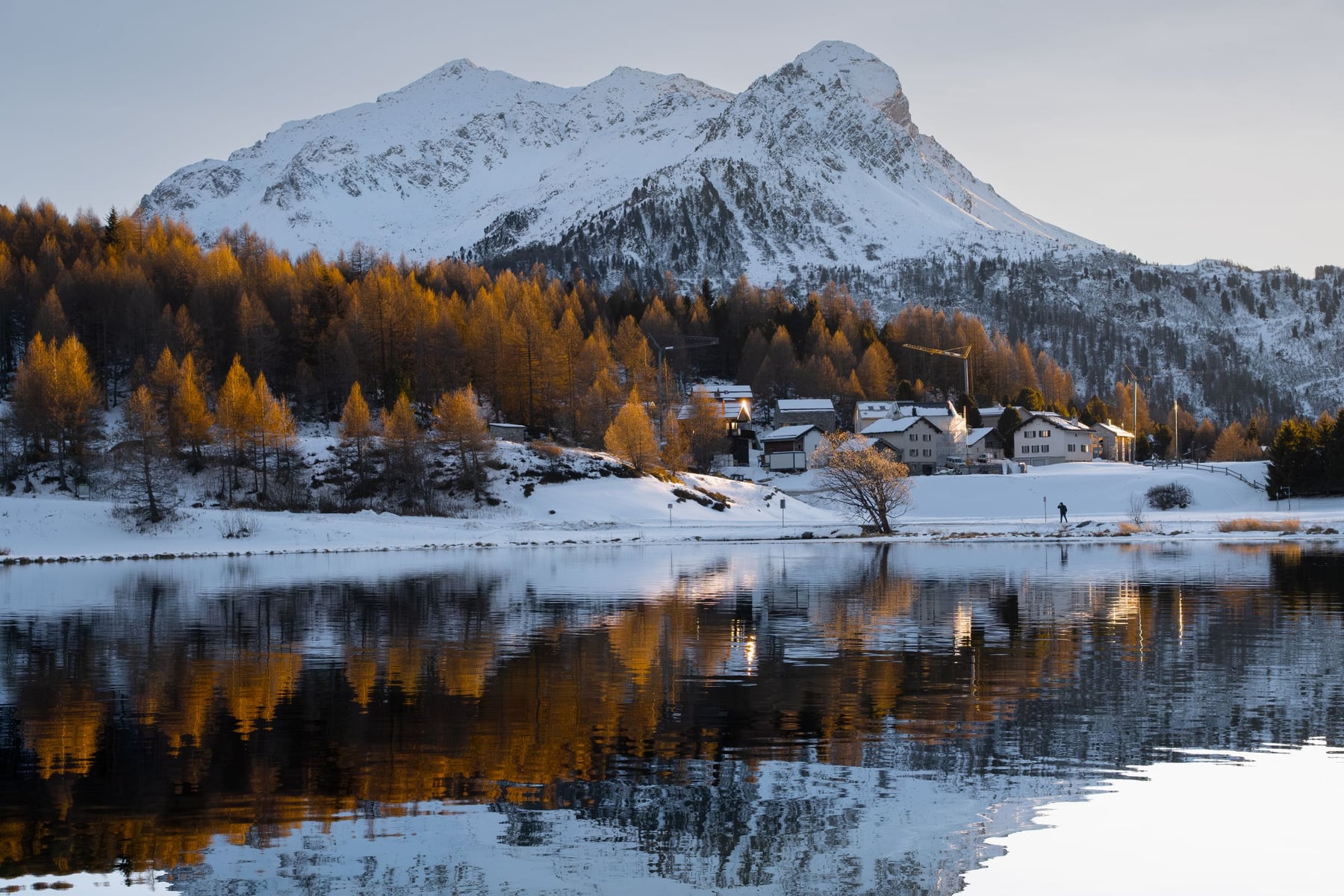
Maloja Pass
SwitzerlandAlso for walkers & hikers and photographers · -1°C in December, as here
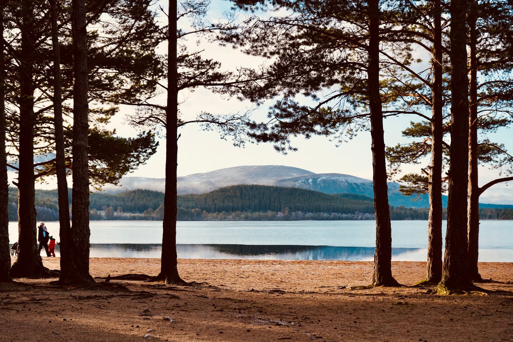
Cairngorms
ScotlandAlso for walkers & hikers and adventure seekers · 1°C in December, as here · cheaper to stay
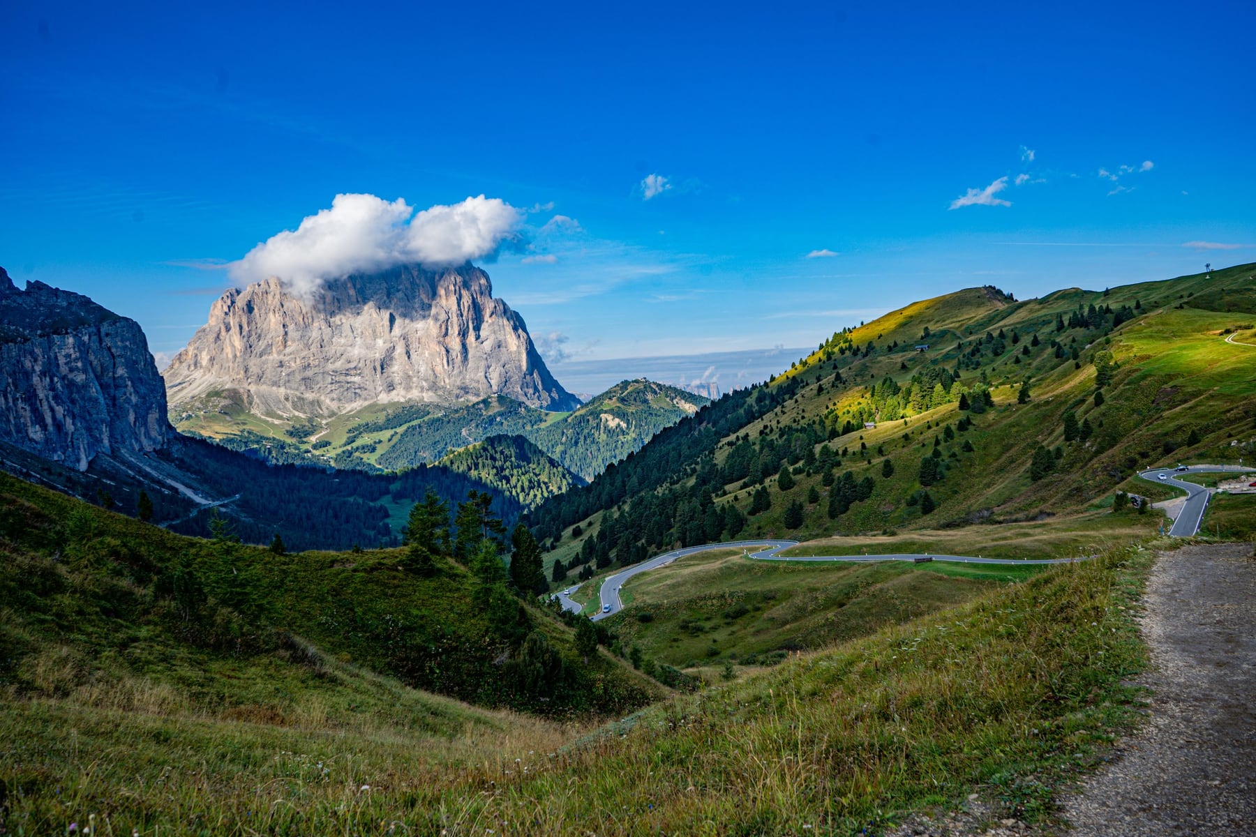
Sella Pass
Dolomites, ItalyAlso for walkers & hikers and photographers · -2°C in December (0°C here) · cheaper to stay