
Pacific Coast Highway
Highway 1 between San Francisco and Los Angeles is the myth that delivers: Golden Gate fog, Big Sur's cliffs and condors, elephant seals lolling at San Simeon, surf towns fading into LA haze.
- Best forRoad-trippers · Photographers · Couples
- In April21°C · 3 rainy days
- Ideal stay4–5 nights
- Approx. flying time~0h 35m from Los Angeles
- CurrencyUSDUS dollar
- LanguageEnglish
- Local time03:148h behind the UK
- PlugsType A / BBring an adapter
- Drive on theRightOpposite to the UK
- Dialling code+1
Why go
The drive is the destination on Highway 1, and its character changes every hour. North of Santa Cruz the coast is cold, foggy and thinly populated. Big Sur puts a two-lane road on a shelf above the Pacific for roughly 150 kilometres. South of San Luis Obispo the light warms and the towns soften into surf, stucco and long piers. You stop constantly, and that is the whole method.
Three days is the minimum between San Francisco and Los Angeles, and five is better if you want Monterey, Hearst Castle and time on the beaches. Driving southbound keeps you in the ocean-side lane for the pull-offs. Landslides periodically close sections of Big Sur, sometimes for months, so check the route before committing. Fog is common on summer mornings, while September and October are usually the clearest weeks.
- Ideal stay
- 4–5 nights
- The vibe
- Cliff-edge, cinematic, unhurried
From our guides
Drive north to south to keep the ocean on your side. Three days minimum with stops at Monterey and a Big Sur lodge — book the latter early; the redwoods have a following.
Featured in Ten epic road trips for your someday list
Things to do
-
Bixby Creek Bridge
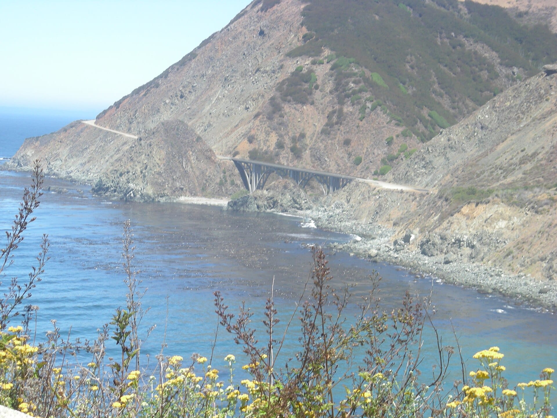
The concrete arch at the northern end of Big Sur is the most photographed structure on the route, best seen from the pull-off on its northern side in early light.
-
Big Sur redwoods
Pfeiffer Big Sur State Park puts you among coast redwoods a few minutes inland, a complete change of temperature and sound from the cliffs outside.
-
Elephant seals at San Simeon
A colony hauls out on the beach at Piedras Blancas year-round, with thousands present in the winter breeding season. Viewing is from a boardwalk above the sand.
-
Hearst Castle
William Randolph Hearst's hilltop estate above San Simeon is extravagant, tour-only and genuinely strange. Tickets are timed and sell out in summer.
-
Monterey and Carmel
An aquarium of real quality, a working harbour and a scenic coastal loop drive make this the natural first overnight stop south of San Francisco.
-
Santa Barbara
Red-tiled roofs, a Spanish mission and a long wooden pier mark the point where the coast turns properly southern and the drive starts to wind down.
Getting there
-
Fly to
Long Beach (LGB)
The airport is on the doorstep.
-
Then
To Monterey
Pick up a hire car at San Francisco (SFO) and drive south, or start at the Los Angeles end via Long Beach (LGB) or LAX and drive north; Monterey is around two and a half hours from San Francisco.
-
On the ground
Getting around
This is a driving trip. Big Sur has almost no services for long stretches, so fill the tank in Carmel or Cambria and expect slow going behind camper vans.
Public transport: A coastal bus covers part of the route and Amtrak runs inland, but neither is a realistic way to see Highway 1.
Flights
Los Angeles Pacific Coast Highway, California, USA
Fly from anywhere — search 4,000+ airports worldwide.
Roughly 0h 35m in the air from Los Angeles (LAX), estimated from the distance — check for a direct route. Pick a month to see every available flight with live prices.
Check dates and prices
Pick your departure date, then your return.
Search flightsNot sure when? Compare fares across a whole month.
Flight times are estimates; prices open on Google Flights.
When to go
Daytime highs run from about 18°C in January to 29°C in August. Driest May to November; wettest in March, with rain on about 8 days.
The year at a glance — pick a month for detail
April21° · rain 3 daysMild and dry.
Monthly figures averaged from daily records for 2020–2024 at this location (ERA5 reanalysis). Highlighted months are warm and mostly dry — April to November. Live conditions from MET Norway, CC BY 4.0.
Where to stay
Motels, coastal inns, redwood lodges and a few famous cliff-edge hotels. Chains cluster in the towns, while Big Sur is almost entirely independent and books like a resort.
-
Best base overall
Monterey and Pacific Grove
The natural halfway pause, with the aquarium, plenty of rooms and easy access to Big Sur the next morning. Fog is a summer fixture and rates near Cannery Row are steep.
Find stays in Monterey and Pacific Grove -
Best for couples
Big Sur
Lodges and cabins strung along the redwood canyons and cliffs, with no phone signal and a handful of restaurants. Book far ahead and accept that dinner options are whatever your lodge serves.
Find stays in Big Sur -
Best value
Cambria and San Simeon
Cheaper motels at the southern end of Big Sur, minutes from the elephant seal colony and Hearst Castle. Charming enough, and the smart move if Big Sur prices horrify you.
Find stays in Cambria and San Simeon -
Best with children
Santa Barbara
A calm beach town with a flat promenade, cycle hire and warmer water than anywhere further north. It makes a sensible final stop before the run into Los Angeles.
Find stays in Santa Barbara
Worth knowing before you book: Big Sur beds are scarce and go months ahead for summer and holiday weekends. Check current Highway 1 closures before fixing the itinerary, since landslides regularly shut sections for months.
Search everything else in Monterey by budget. These are indicative budget bands in GBP per night for two people, not live quotes or guarantees of hotel type. Check your dates, guests, taxes and final price on Booking.com.
Good to know
- Driving
- Sections of Big Sur close after winter storms and landslides. Check the highway status before setting out, as inland detours add hours.
- Fuel
- Between Carmel and Cambria there are very few filling stations and prices are high. Fill up before you enter Big Sur.
- Book ahead
- Accommodation along Big Sur is limited and expensive, and campsites are reserved months in advance. Do not plan to find a bed on the day.
- Signal
- Mobile coverage disappears for long stretches of the coast. Download maps for offline use before you leave Monterey.
- Timing
- Coastal fog is heaviest in June and July. September and October usually bring the clearest days and the warmest sea.
Similar places
Further afield

Coachella
California, USA · 187km away →
Death Valley
California, USA · 315km away →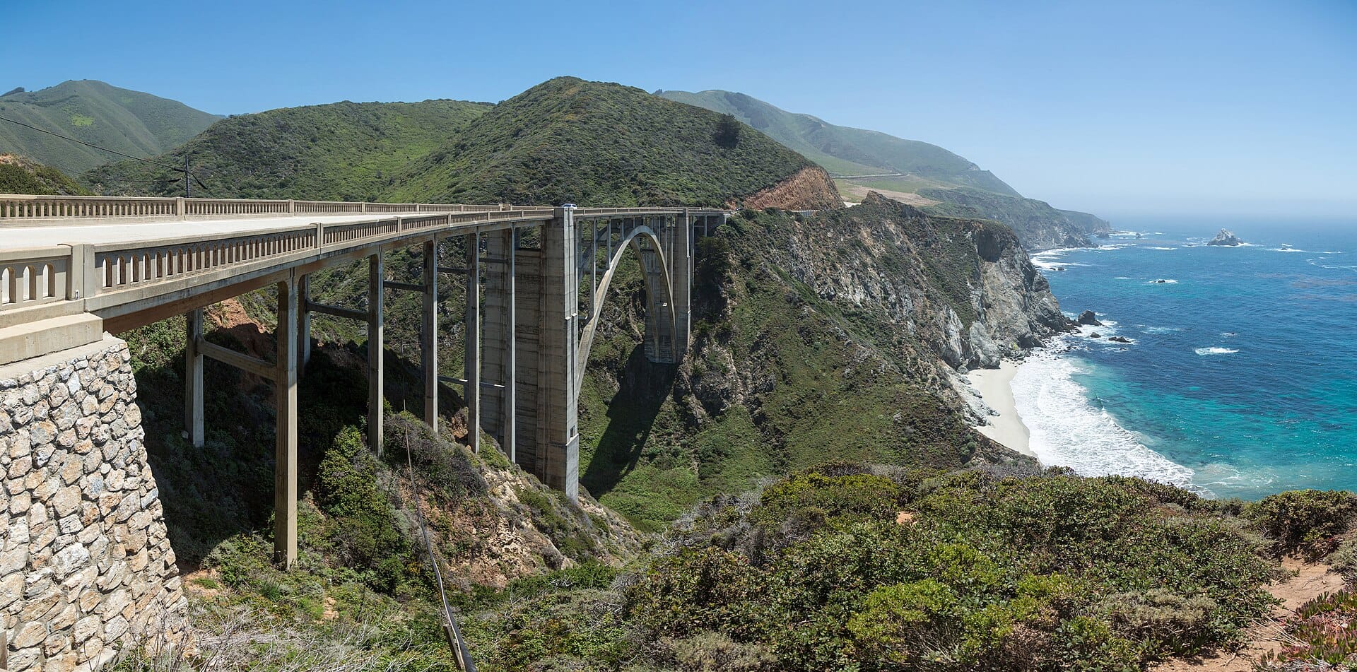
Big Sur
California, USA · 404km away →
Walking the slot canyons of Antelope Canyon
Arizona, USA · 706km away →
Burning Man
Nevada, USA · 784km away →
Bison in Yellowstone
USA →Elsewhere in the USA
Related articles
Quick answers
When is the best time to visit Pacific Coast Highway?
For warm, mostly dry days, April to November. That means highs of 20–34°C with rain on six days a month or fewer. Daytime highs run from about 18°C in January to 29°C in August. Driest May to November; wettest in March, with rain on about 8 days.
How long should I spend in Pacific Coast Highway?
Our suggestion: 4–5 nights.
How do I get to Pacific Coast Highway?
Pick up a hire car at San Francisco (SFO) and drive south, or start at the Los Angeles end via Long Beach (LGB) or LAX and drive north; Monterey is around two and a half hours from San Francisco.
Do I need a car in Pacific Coast Highway?
Yes, a car makes a real difference here. A coastal bus covers part of the route and Amtrak runs inland, but neither is a realistic way to see Highway 1.
What currency and language are used in Pacific Coast Highway?
Currency: US dollar (USD). Language: English. Plugs: type A and B.
Who is Pacific Coast Highway best for?
Best for road-trippers, photographers and couples. In a phrase: cliff-edge, cinematic, unhurried.