
Big Sur
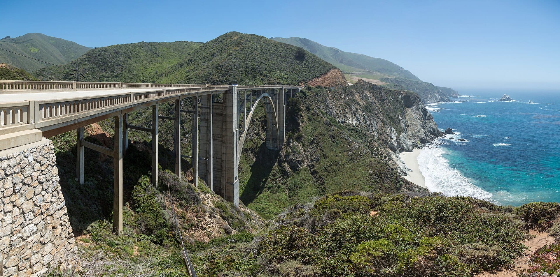
Ninety miles of Highway 1 where the Santa Lucia mountains fall straight into the Pacific, punctuated by the much-photographed Bixby Bridge and redwood canyons.
- Best forRoad-trippers · Couples · Photographers
- In April16°C · 5 rainy days
- Ideal stay2–3 nights
- Approx. flying time~1h 05m from Los Angeles
- CurrencyUSDUS dollar
- LanguageEnglish
- Local time03:138h behind the UK
- PlugsType A / BBring an adapter
- Drive on theRightOpposite to the UK
- Dialling code+1
Why go
For roughly 140 km the Santa Lucia range drops straight into the Pacific, and Highway 1 clings to the join. Redwood canyons run inland from the cliffs, condors circle overhead and the fog rolls in and out on its own timetable. There is almost no development, no mobile signal for long stretches and very few places to stop, which is exactly what people come for.
Two or three nights, or a long day if you must, usually as part of a Californian coast drive between Monterey and San Luis Obispo. Driving north to south puts the ocean on your side for pull-offs; south to north keeps the driver away from the drop. Landslides close sections without much warning, so check road status before setting off. Fog is common in summer and autumn is clearest.
- Ideal stay
- 2–3 nights
- The vibe
- Cliff-edge, foggy, monumentally empty
From our guides
Drive south to north so the ocean is on your side for pulling over, and check road-status updates before setting off — landslides close sections with some regularity. Stop at Nepenthe for a clifftop lunch, and watch for whales between December and April.
Featured in Ten coastal drives for a honeymoon on wheels
Things to do
-
Bixby Creek Bridge
A single-span concrete arch 85 metres above a canyon mouth, opened in 1932. Park in the designated pull-offs rather than on the shoulder, which is now enforced.
-
McWay Falls
A 24-metre waterfall dropping onto a cove beach in Julia Pfeiffer Burns State Park, viewed from a short cliff path. The beach itself is closed to access.
-
Pfeiffer Beach
Purple-tinged sand and a sea arch reached down an easily missed, narrow road. Late afternoon in midwinter puts the sun straight through the keyhole rock.
-
Point Lobos
A reserve at the northern end with cypress headlands, sea otters, harbour seals and clear coves. Some of the best short coastal walking anywhere in California.
-
Elephant seals at Piedras Blancas
A roadside colony near the southern end where thousands of seals haul out to breed and moult. Loud, smelly and free to watch from the boardwalk.
-
Redwood canyons
Inland trails in Pfeiffer Big Sur State Park run through coast redwoods and along the river, giving deep shade and a complete change of scale from the cliffs.
Getting there
-
Fly to
Monterey (MRY)
Nearest airport to Big Sur, about 55km away as the crow flies.
-
Then
To Big Sur
About an hour and a half by car from Monterey (MRY), south through Carmel and onto Highway 1.
-
On the ground
Getting around
There is only one road and you drive it, pulling into the marked turnouts. Check road status before setting off, as landslides close sections with some regularity.
Public transport: A limited seasonal bus runs down the coast from Monterey, but it is no substitute for a car.
Flights
Los Angeles Big Sur, California, USA
Fly from anywhere — search 4,000+ airports worldwide.
Roughly 1h 05m in the air from Los Angeles (LAX), estimated from the distance — check for a direct route. Pick a month to see every available flight with live prices.
Check dates and prices
Pick your departure date, then your return.
Search flightsNot sure when? Compare fares across a whole month.
Flight times are estimates; prices open on Google Flights.
When to go
Daytime highs run from about 15°C in March to 22°C in September. Driest June to September; wettest in March, with rain on about 12 days.
The year at a glance — pick a month for detail
April16° · rain 5 daysCool with the odd shower.
Monthly figures averaged from daily records for 2015–2024 at Big Sur (ERA5 reanalysis). Highlighted months are warm and mostly dry — July to October. Live conditions from MET Norway, CC BY 4.0.
Where to stay
A handful of famous clifftop lodges, rustic river cabins and campgrounds in Big Sur itself, with conventional hotels and motels concentrated at Carmel, Monterey and Cambria.
-
Best base overall
Big Sur Village
The cluster of lodges along the Big Sur River puts you among the redwoods and within reach of the main viewpoints and trails. There is no town as such, and mobile signal is close to nonexistent.
Find stays in Big Sur Village -
Best for couples
Carmel-by-the-Sea
Thirty minutes north, with proper restaurants, galleries and a beach, so you can drive the coast by day and eat well at night. It is expensive and self-consciously quaint.
Find stays in Carmel-by-the-Sea -
Best with children
Monterey
The aquarium alone justifies basing here, and the wide choice of family rooms and chain hotels keeps costs predictable. You are an hour from the best of the coast road, which means early starts.
Find stays in Monterey -
Best value
Cambria
At the southern end near Hearst Castle and the elephant seal colony, with motels and inns at a fraction of Carmel rates. The scenic stretch of Highway 1 begins some way north of here.
Find stays in Cambria
Worth knowing before you book: Big Sur has very few rooms and they sell out months ahead for summer and holiday weekends. Check for landslide closures before booking, as a shut road can strand your reservation.
Search everything else in Big Sur by budget. These are indicative budget bands in GBP per night for two people, not live quotes or guarantees of hotel type. Check your dates, guests, taxes and final price on Booking.com.
Good to know
- Road status
- Landslides regularly close sections of Highway 1 for months. Check the state transport authority's current conditions the morning you drive, not the week before.
- Fuel and signal
- Petrol stations are few and expensive, and there is no mobile coverage for long stretches. Fill up in Carmel or Cambria and download maps in advance.
- Book ahead
- Accommodation along this coast is limited and expensive, and campsites fill months out. Monterey or Cambria are the realistic fallbacks.
- Timing
- Summer brings coastal fog that can hide the view entirely until afternoon. September and October are the clearest months, and grey whales pass December to April.
- Driving
- The road is narrow, winding and busy with cyclists. Use the pull-offs to let faster traffic through, and never stop on the carriageway for a photograph.
Similar places
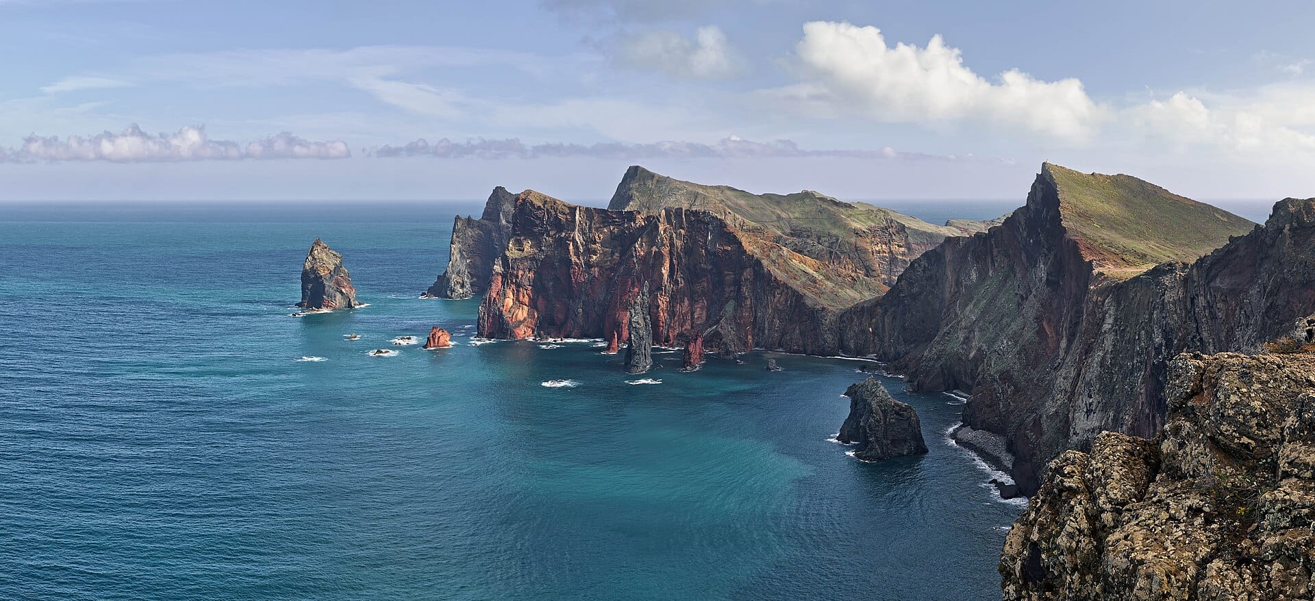
Madeira coastal road
PortugalAlso for road-trippers and couples · 19°C in April (16°C here) · cheaper to stay
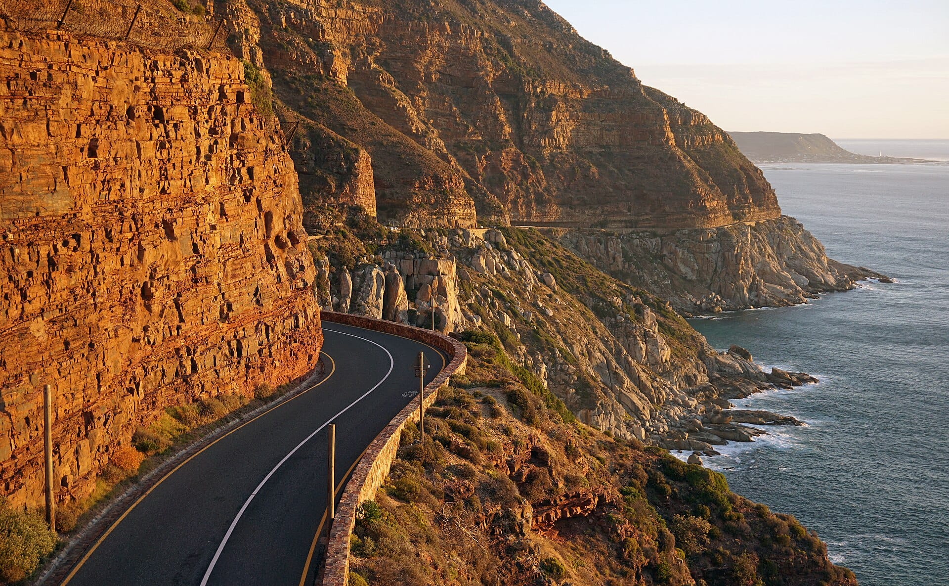
Chapman's Peak Drive
South AfricaAlso for road-trippers and couples · 19°C in April (16°C here) · cheaper to stay
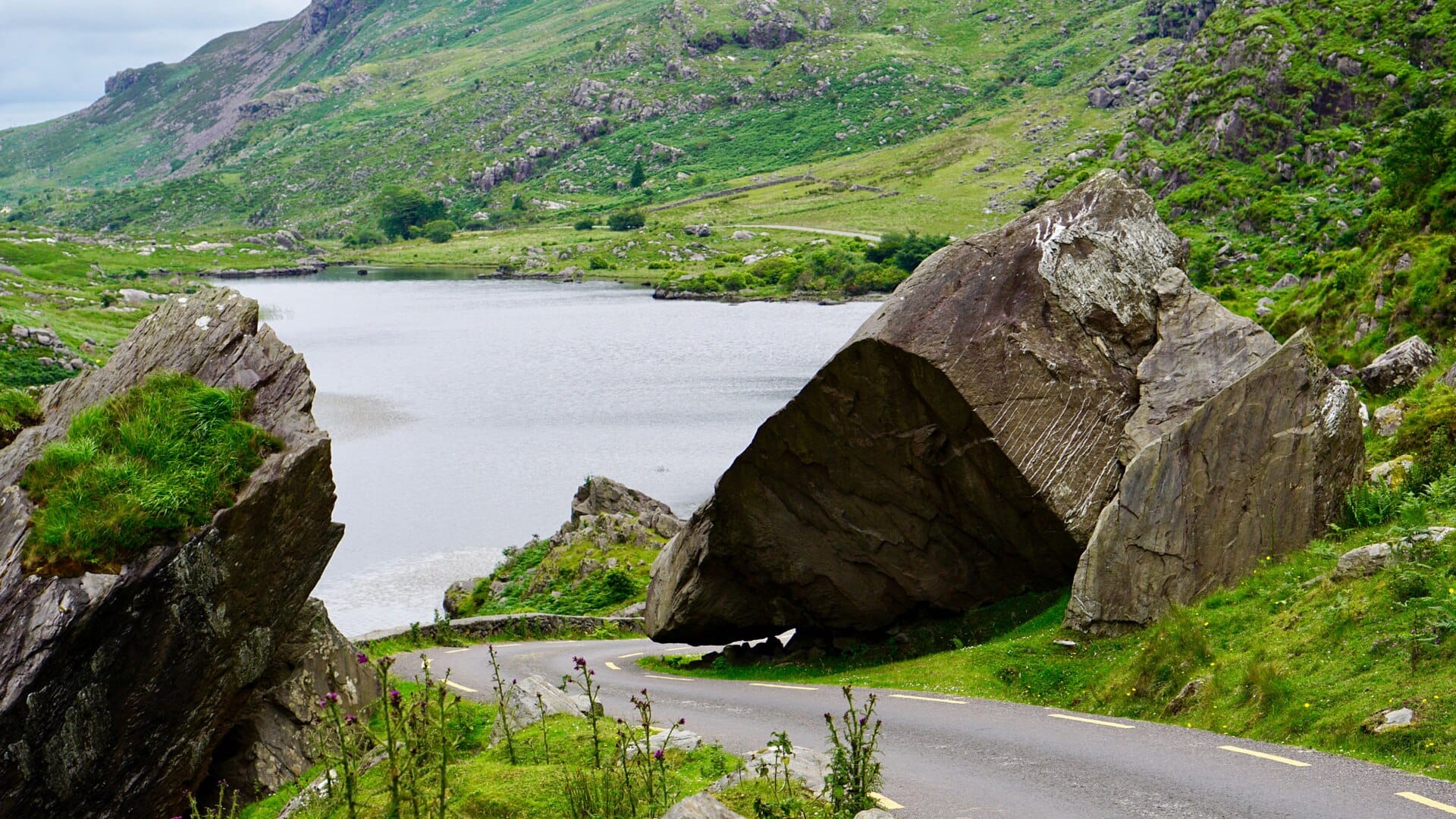
Ring of Kerry
IrelandAlso for road-trippers and couples · 13°C in April (16°C here)
Further afield
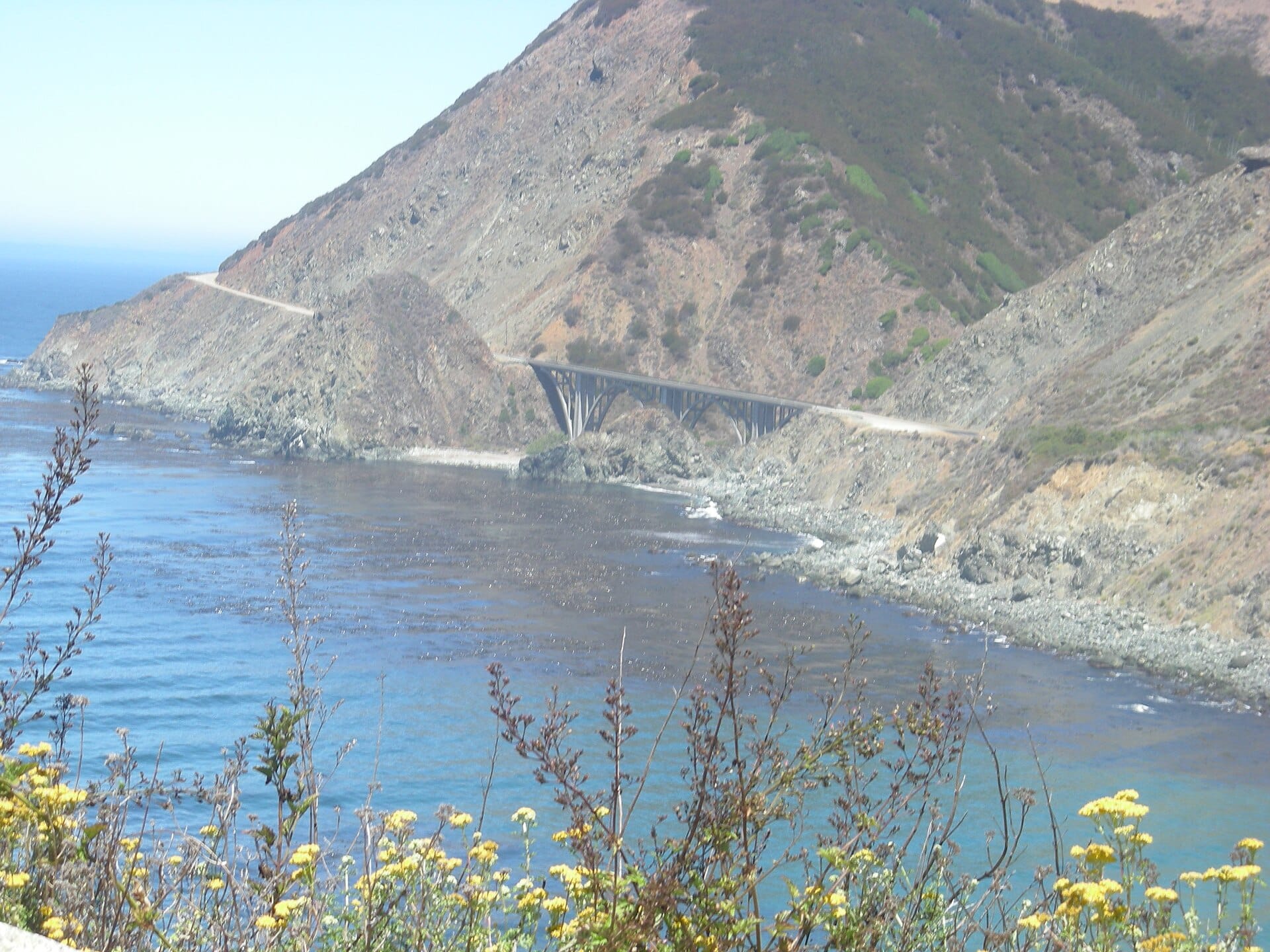
Pacific Coast Highway
California, USA · 404km away →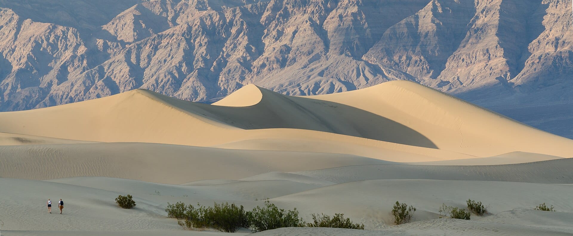
Death Valley
California, USA · 418km away →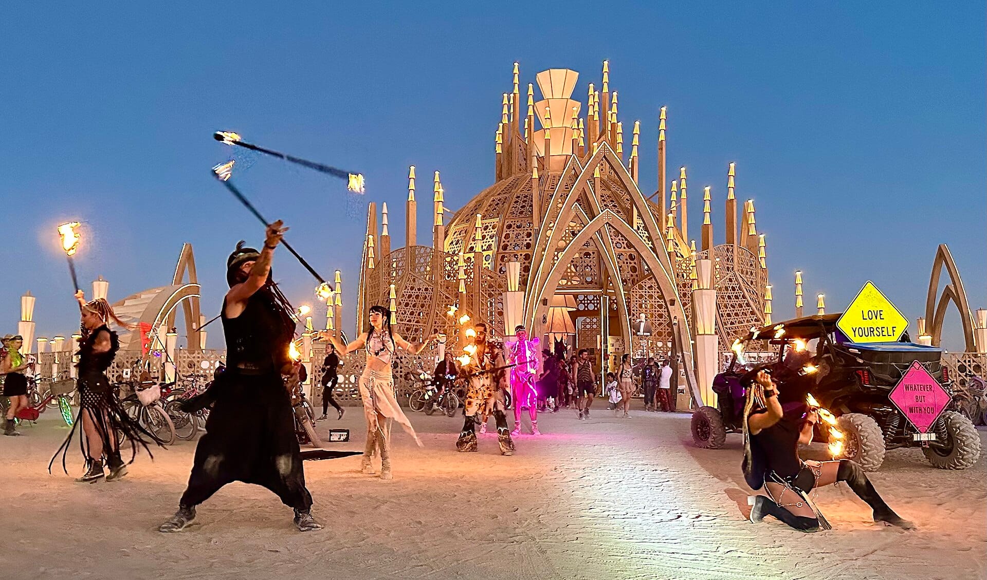
Burning Man
Nevada, USA · 556km away →
Coachella
California, USA · 562km away →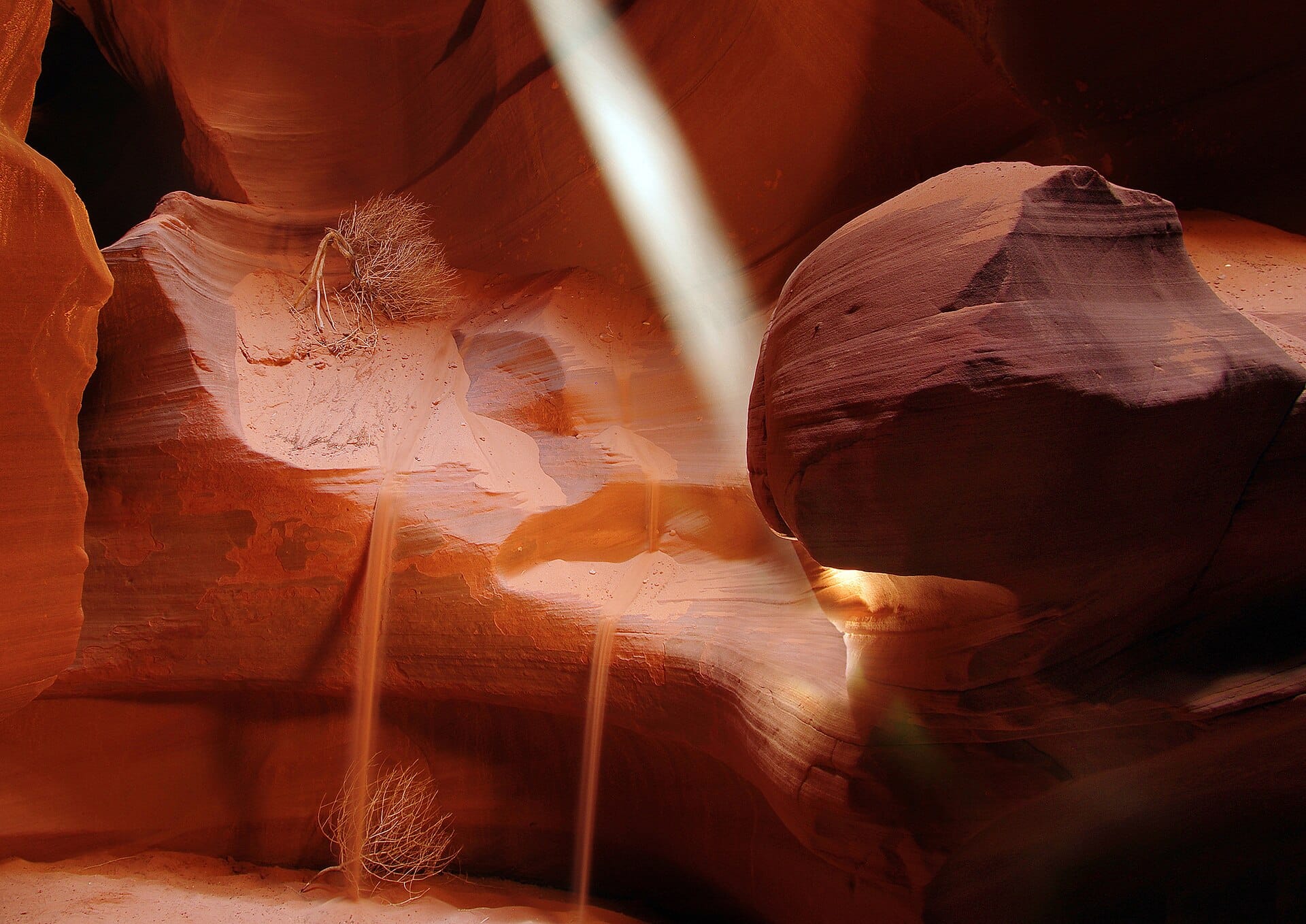
Walking the slot canyons of Antelope Canyon
Arizona, USA · 910km away →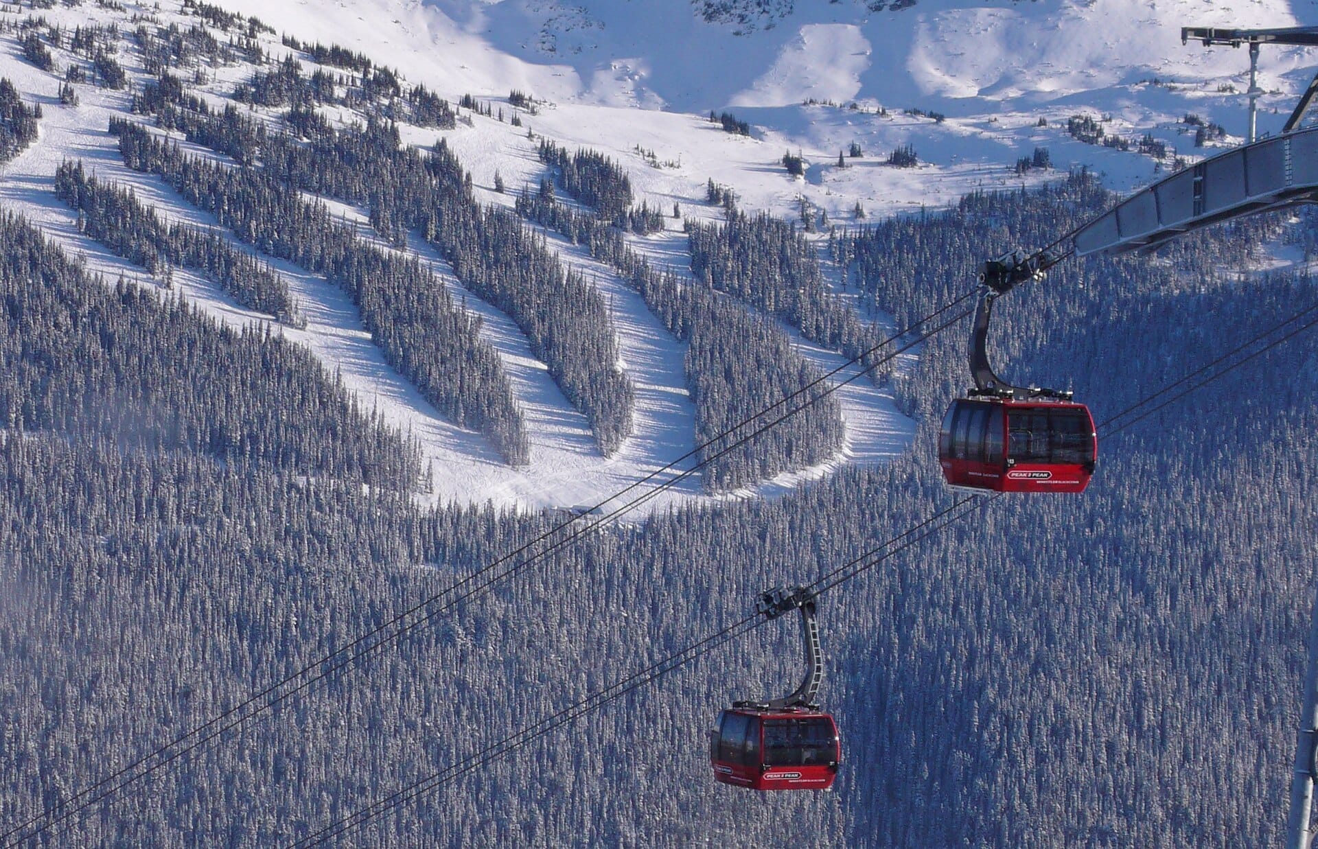
Peak 2 Peak Gondola
Whistler, Canada →Elsewhere in the USA
Related articles
Quick answers
When is the best time to visit Big Sur?
For warm, mostly dry days, July to October. That means highs of 20–34°C with rain on six days a month or fewer. Daytime highs run from about 15°C in March to 22°C in September. Driest June to September; wettest in March, with rain on about 12 days.
How long should I spend in Big Sur?
Our suggestion: 2–3 nights.
How do I get to Big Sur?
About an hour and a half by car from Monterey (MRY), south through Carmel and onto Highway 1.
Do I need a car in Big Sur?
Yes, a car makes a real difference here. A limited seasonal bus runs down the coast from Monterey, but it is no substitute for a car.
What currency and language are used in Big Sur?
Currency: US dollar (USD). Language: English. Plugs: type A and B.
Who is Big Sur best for?
Best for road-trippers, couples and photographers. In a phrase: cliff-edge, foggy, monumentally empty.