
Trollstigen
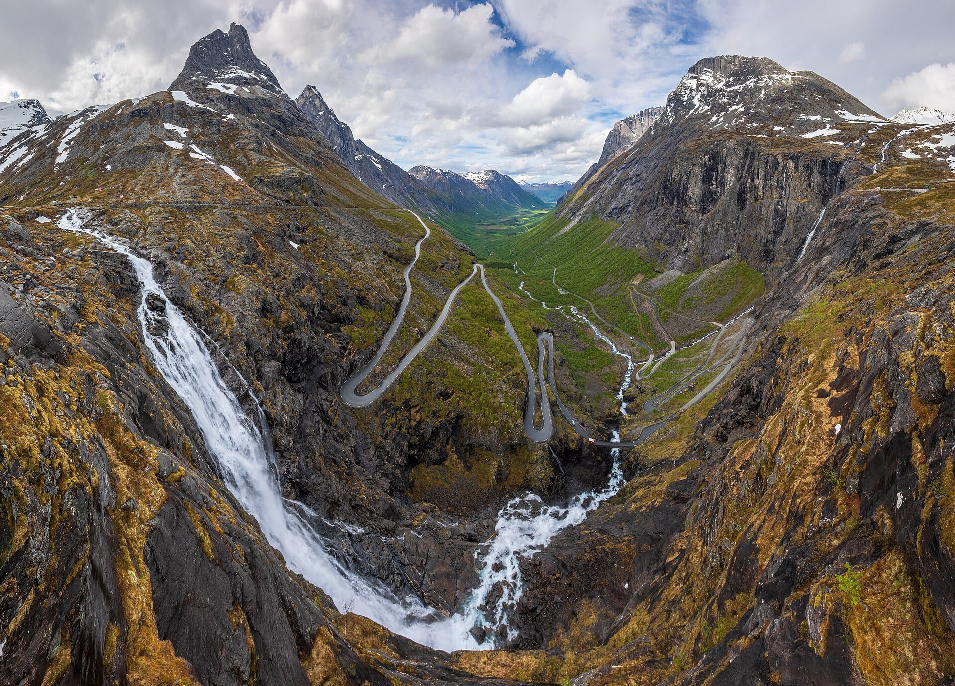
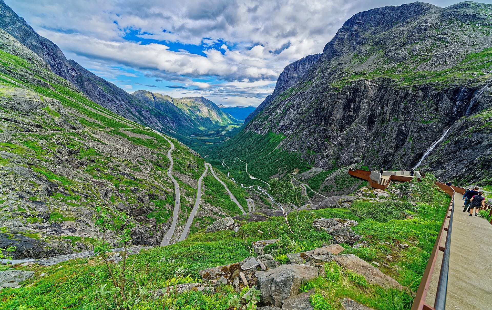
The 'Troll's Ladder' claws up a fjord-country cliff in eleven hairpins, passing beneath the Stigfossen waterfall so closely you may want the wipers on.
- Best forRoad-trippers · Photographers · Walkers & hikers
- In March5°C · 18 rainy days
- Ideal stayA day, within a longer fjord drive
- Approx. flying time~10h 25m from Los Angeles
- CurrencyNOKNorwegian krone
- LanguageNorwegian
- Local time14:081h ahead of the UK
- PlugsType C / FBring an adapter
- Drive on theRightOpposite to the UK
- Dialling code+47
Why go
The road climbs a near-vertical wall of the Isterdalen valley in eleven hairpin bends, gaining several hundred metres between farmland and a bare plateau. Waterfalls come down on both sides, the Stigfossen crossing beneath the road on a stone bridge. Peaks named for a king, a queen and a bishop stand over the top, and the walk out to the viewing platforms takes only a few minutes.
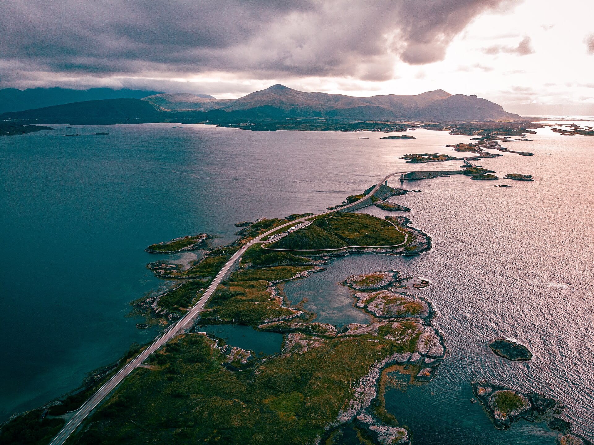
Driving it takes twenty minutes, so treat it as one link in a longer route through Norway's fjord country, usually with Geiranger, the Atlantic Road or the Rauma railway. Snow keeps the pass shut for much of the year and it typically opens from late May or June until October, with occasional closures for rockfall works. Check the road status before committing to the day.
- Ideal stay
- A day, within a longer fjord drive
- The vibe
- Vertical, dramatic, briskly Norwegian
From our guides
At the top, an architect-designed viewpoint juts over the abyss so you can study the road you just survived. It's short — you'll drive it in twenty minutes — so combine it with the Geiranger road for a full day. Late June to August is the reliable window; check reopening dates after landslide works.
Featured in Ten jaw-dropping mountain roads and passes to drive
Things to do
-
Trollstigen viewing platforms
Steel and concrete walkways run out over the drop at the top of the pass, giving a clean view down the bends and along the waterfall.
-
Stigfossen waterfall
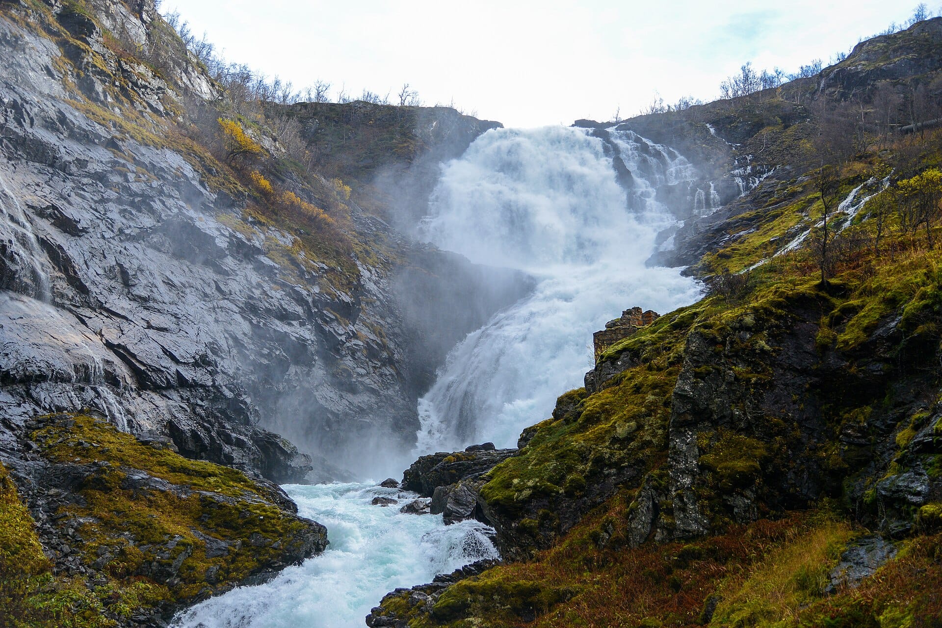
The road passes directly beneath a fall of around three hundred metres, which throws spray across the windscreen on a wet day.
-
Trollveggen
The tallest vertical rock face in Europe rises above the valley on the approach from Andalsnes, with a rest area for looking straight up it.
-
Geiranger and the Eagle Road
Continue over the Ornevegen hairpins to one of the country's most photographed fjords, with the Seven Sisters waterfall visible from the water.
-
Romsdalseggen ridge
A long day walk above Andalsnes with fjord on one side and the Romsdalen valley on the other, among the best known ridge routes in Norway.
-
Rauma railway
The line between Andalsnes and Dombas runs through the same valley and over the Kylling bridge, an easy alternative if you would rather not drive.
Getting there
-
Fly to
Årø (MOL)
Nearest airport to Åndalsnes, about 29km away as the crow flies.
-
Then
To Åndalsnes
Molde (MOL) or Ålesund (AES) are the realistic gateways, each around an hour and a half by hire car to Åndalsnes. Oslo (OSL) is most of a day's drive away despite appearances.
-
On the ground
Getting around
The pass is roughly half an hour south of Åndalsnes by car. The eleven hairpins take about twenty minutes to drive, with a car park and viewing platform at the top.
Public transport: Thin. The Rauma railway reaches Åndalsnes and a seasonal bus crosses to Geiranger, but otherwise this is a driving road.
Flights
Los Angeles Åndalsnes, Norway
Fly from anywhere — search 4,000+ airports worldwide.
Roughly 10h 25m in the air from Los Angeles (LAX), estimated from the distance — check for a direct route. Pick a month to see every available flight with live prices.
Check dates and prices
Pick your departure date, then your return.
Search flightsNot sure when? Compare fares across a whole month.
Flight times are estimates; prices open on Google Flights.
When to go
Daytime highs run from about 1°C in January to 18°C in August. Wettest in July, with rain on about 20 days.
The year at a glance — pick a month for detail
March5° · rain 18 daysCold and often wet.
Monthly figures averaged from daily records for 2015–2024 at Åndalsnes (ERA5 reanalysis). Live conditions from MET Norway, CC BY 4.0.
Where to stay
Cabins, campsites with hytter, guesthouses and a few modest town hotels. Self-catering dominates, and there are no large resorts anywhere near the pass.
-
Best base overall
Åndalsnes
The fjord town at the bottom of the road, with a railway station, the Romsdalen gondola and enough places to eat. Small, so book ahead in the short summer season.
Find stays in Åndalsnes -
Closest to the sights
Valldal
On the far side of the pass towards Geiranger, handy if you want the hairpins at dawn and the Geiranger road the same day. Facilities are modest.
Find stays in Valldal -
Quietest
Isfjorden
A valley village ten minutes inland, with cabins and farm stays and no coach traffic at all. You will drive in for restaurants and shops.
Find stays in Isfjorden -
Best with children
Molde
A bigger coastal town an hour away, with an airport, a pool and rainy-day options when the mountains disappear. It adds a ferry or a long drive to the road itself.
Find stays in Molde
Worth knowing before you book: The road is normally open only from late spring to early autumn and has closed for landslide works, so confirm before booking. Summer cabins go months ahead.
Search everything else in Åndalsnes by budget. These are indicative budget bands in GBP per night for two people, not live quotes or guarantees of hotel type. Check your dates, guests, taxes and final price on Booking.com.
Good to know
- Season
- The pass is closed by snow in winter. Late June to August is the reliable window, and the official road status is worth checking before you set off.
- Driving
- The bends narrow to a single lane in places with coaches coming the other way. Use the passing bays and hold a low gear on the descent.
- Crowds
- Coaches arrive mid-morning. Early or late in the day the platforms are almost empty and the light along the valley is better.
- Weather
- Cloud can sit on the plateau for days. Keep the drive flexible so you can take the clear morning when it comes.
- Fuel and food
- Services are thin between valleys. Fill up in Andalsnes or Valldal rather than assuming there is a pump at the top.
Similar places
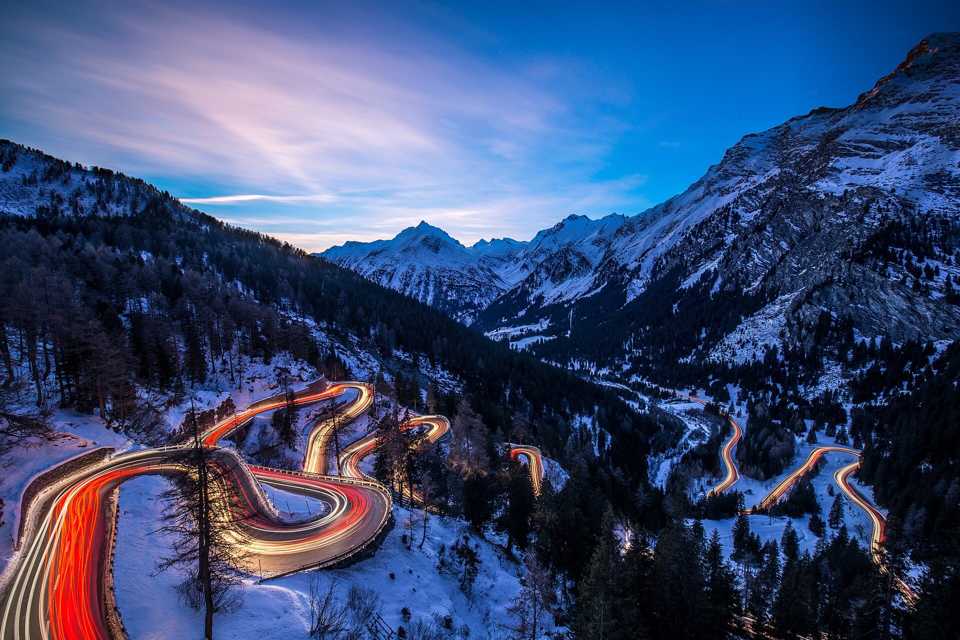
Maloja Pass
SwitzerlandAlso for road-trippers and photographers · 3°C in March (5°C here)
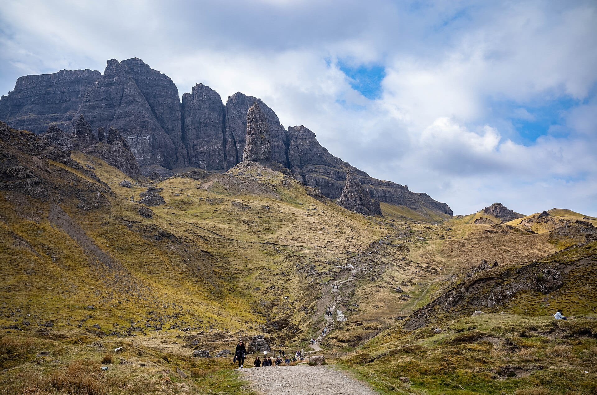
Old Man of Storr
Isle of Skye, ScotlandAlso for road-trippers and photographers · 5°C in March, as here · cheaper to stay
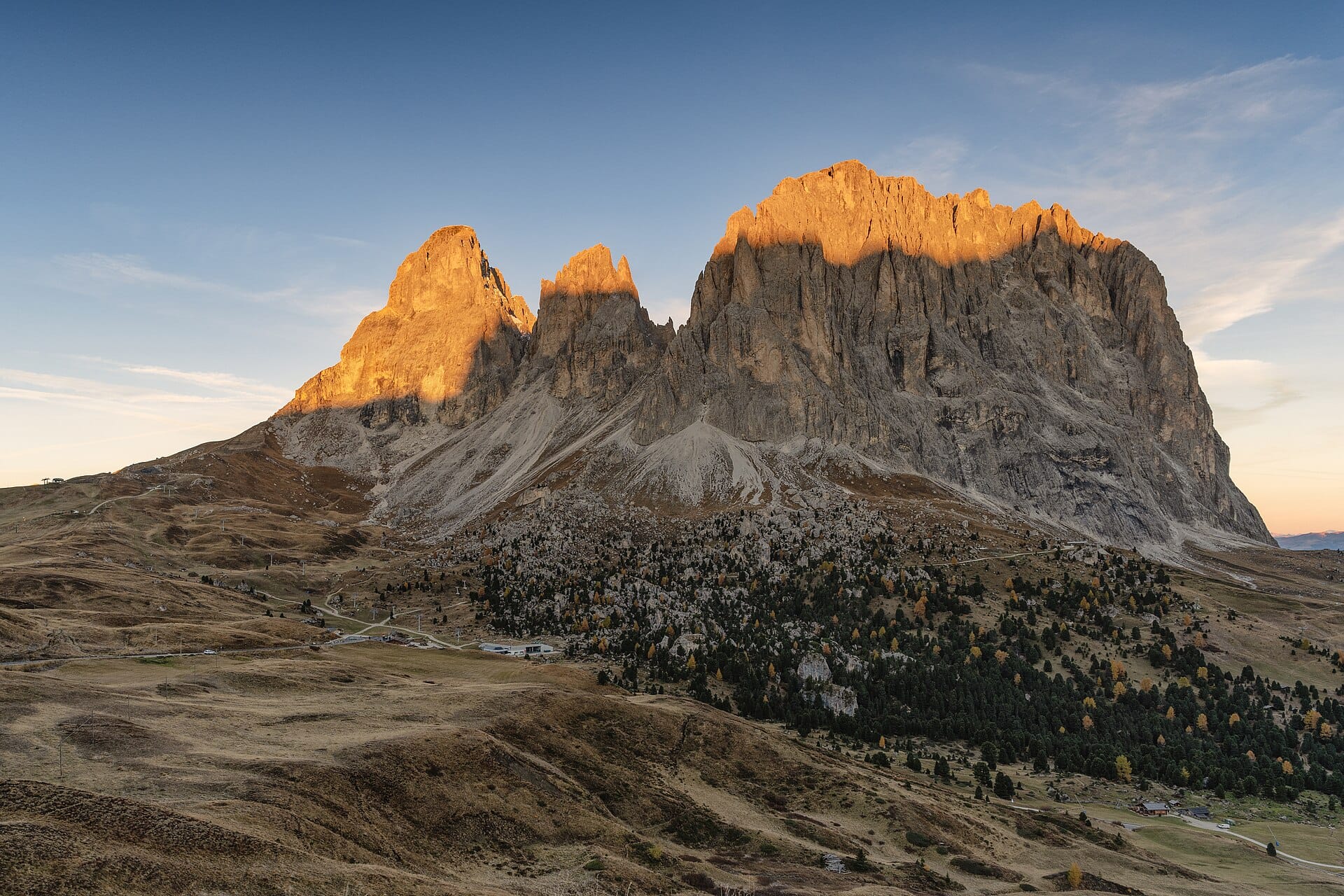
Sella Pass
Dolomites, ItalyAlso for road-trippers and photographers · 1°C in March (5°C here) · cheaper to stay
Nearby destinations
Related articles
Quick answers
When is the best time to visit Trollstigen?
Daytime highs run from about 1°C in January to 18°C in August. Wettest in July, with rain on about 20 days.
How long should I spend in Trollstigen?
Our suggestion: a day, within a longer fjord drive.
How do I get to Trollstigen?
Molde (MOL) or Ålesund (AES) are the realistic gateways, each around an hour and a half by hire car to Åndalsnes. Oslo (OSL) is most of a day's drive away despite appearances.
Do I need a car in Trollstigen?
Yes, a car makes a real difference here. The Rauma railway reaches Åndalsnes and a seasonal bus crosses to Geiranger, but otherwise this is a driving road.
What currency and language are used in Trollstigen?
Currency: Norwegian krone (NOK). Language: Norwegian. Plugs: type C and F.
Who is Trollstigen best for?
Best for road-trippers, photographers and walkers & hikers. In a phrase: vertical, dramatic, briskly Norwegian.