
The Atlantic Ocean Road
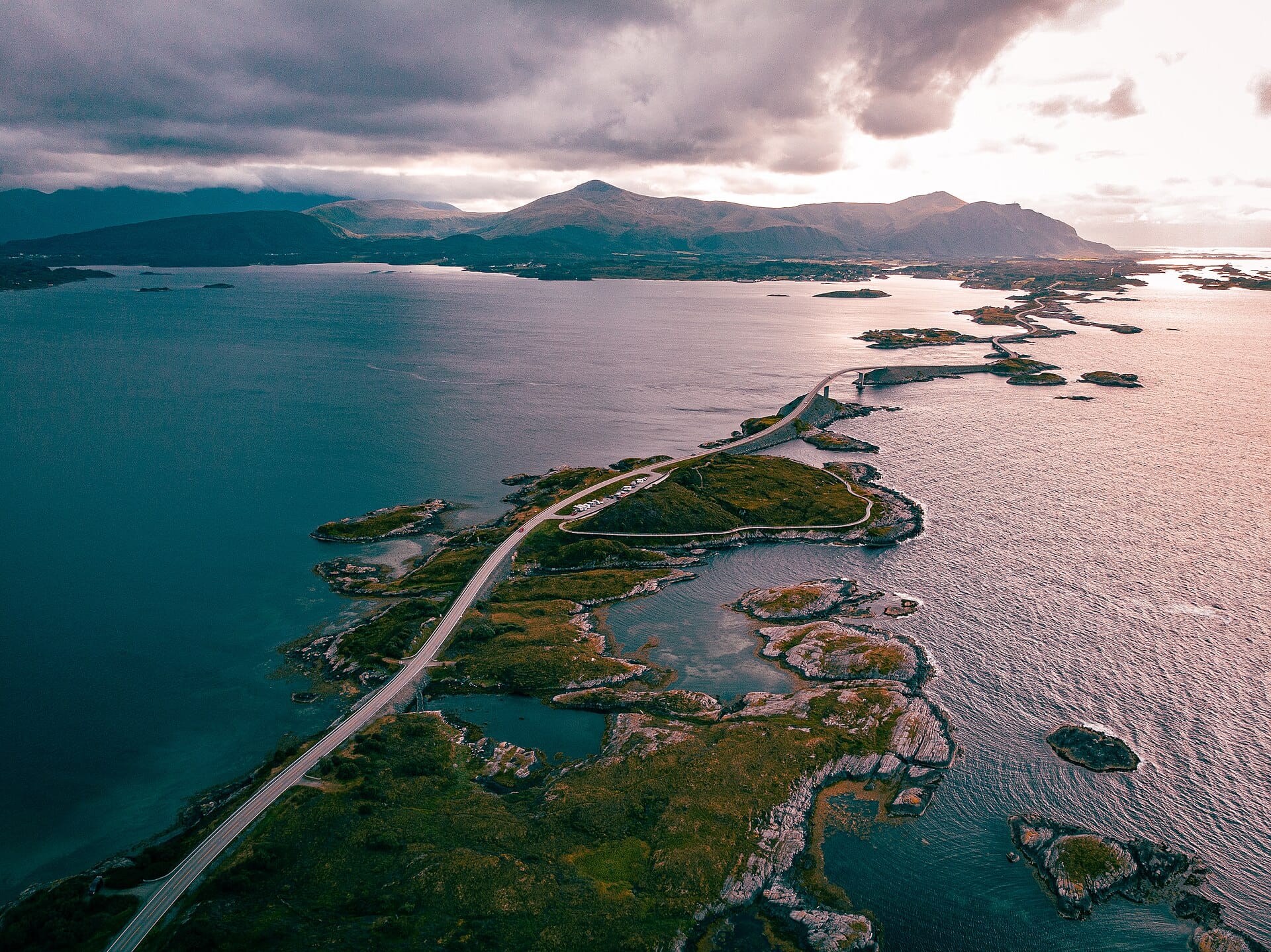
Only eight kilometres long, but what kilometres: Norway's Atlanterhavsveien hops between skerries on a chain of causeways and one show-off bridge, the Storseisundet, which from certain angles appears to launch cars into the sea.
- Best forRoad-trippers · Photographers · Couples
- In July16°C · 15 rainy days
- Ideal stayA day trip from Molde
- Approx. flying time~10h 20m from Los Angeles
- CurrencyNOKNorwegian krone
- LanguageNorwegian
- Local time13:131h ahead of the UK
- PlugsType C / FBring an adapter
- Drive on theRightOpposite to the UK
- Dialling code+47
Why go
The Atlanterhavsveien covers only eight kilometres, hopping between low skerries on a chain of causeways and bridges on Norway's western coast. Storseisundet is the one people photograph, curving so sharply that from certain angles it seems to end in mid-air. There is little here beyond rock, sea and weather, which is precisely the point. Fishing platforms, lay-bys and short boardwalks let you stop and watch the Atlantic work.
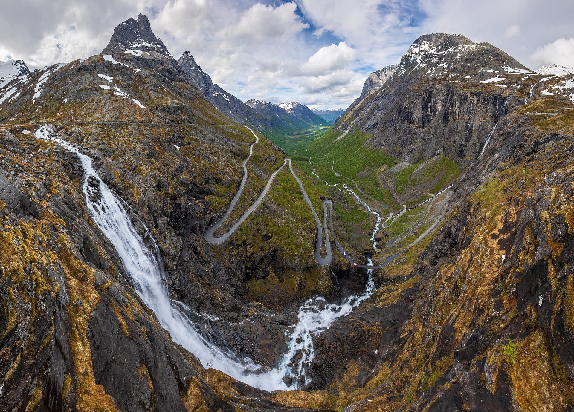
The drive itself takes twenty minutes, so treat it as one element of a longer coastal route between Molde, Kristiansund and Alesund, with fjord ferries and the Trollstigen hairpins nearby. Calm June and July evenings bring near-endless light; autumn storms send spray across the tarmac and are why some people come at all. Winter driving needs care, and daylight is short.
- Ideal stay
- A day trip from Molde
- The vibe
- Windswept, engineered, faintly cinematic
From our guides
Eight kilometres of causeways and bridges skipping between skerries on Norway's west coast, with the Storseisundet Bridge appearing to launch cars into the sea from certain angles — engineers with a sense of theatre. It's short, so fold it into a slow Molde-to-Kristiansund honeymoon day with fjord detours and fish-soup stops. September brings dramatic weather that flings spray across the tarmac; calm June evenings offer midnight-sun driving with almost nobody else out.
Featured in Ten epic road trips for your someday list and Ten coastal drives for a honeymoon on wheels
Things to do
-
Storseisundet Bridge
The cantilevered curve at the centre of the route, best photographed from the lay-by to its south or from the walkway on the neighbouring islet.
-
Askevagen viewpoint
A viewing tower a short drive from the road, giving a wide outlook across the archipelago and out to the open Atlantic.
-
Fishing from the causeways
Marked platforms and boardwalks along the route are built for sea fishing, and cod and coalfish are caught straight from the road's edge.
-
Haholmen
A restored fishing village on an islet reached by boat, which shows how this coast was lived on before the road existed.
-
Bud and the coastal road
A former fishing village north of Molde with a wartime coastal fort, linked to the Ocean Road by a scenic route along the shore.
-
Kvernes stave church
A timber church on Averoy with medieval origins, and a separate farm museum beside it worth half an hour.
Getting there
-
Fly to
Kvernberget (KSU)
Nearest airport to Averøy, about 20km away as the crow flies.
-
Then
To Averøy
Kristiansund (KSU) is about 30 to 40 minutes by car to the northern end of the Atlanterhavsveien via the Atlanterhavstunnelen. Molde airport is a similar drive from the southern end.
-
On the ground
Getting around
The road itself is only eight kilometres, so you drive it slowly and stop at the lay-bys and fishing platforms. Averøy and the villages around Bud and Kårvåg supply the accommodation, and the wider route continues towards Molde and the Trollstigen.
Public transport: A local bus route does cross the road, but the whole point is stopping where you like, so hire a car.
Flights
Los Angeles Averøy, Norway
Fly from anywhere — search 4,000+ airports worldwide.
Roughly 10h 20m in the air from Los Angeles (LAX), estimated from the distance — check for a direct route. Pick a month to see every available flight with live prices.
Check dates and prices
Pick your departure date, then your return.
Search flightsNot sure when? Compare fares across a whole month.
Flight times are estimates; prices open on Google Flights.
When to go
Daytime highs run from about 3°C in December to 16°C in August. Driest April to July; wettest in October, with rain on about 22 days.
The year at a glance — pick a month for detail
July16° · rain 15 daysCool and often wet.
Monthly figures averaged from daily records for 2020–2024 at this location (ERA5 reanalysis). Live conditions from MET Norway, CC BY 4.0.
Where to stay
Rorbuer fishing cabins, small guesthouses and camping cabins along the coast, with conventional hotels only in Molde and Kristiansund. Self-catering is the norm rather than the exception.
-
Best base overall
Averøy
The island at the southern end of the road, so the bridges are on your doorstep at every light of day. Accommodation is scattered and you must drive to eat.
Find stays in Averøy -
Best with children
Kristiansund
A proper town just north, with hotels, a swimming hall, restaurants and the little Sundbåten ferries between its islands. Around half an hour from the road itself.
Find stays in Kristiansund -
Best value
Molde
The larger town to the south, on the fjord, with more hotel competition and better rates plus the Atlanterhavsbadet pool. It sits behind a ferry crossing or a tunnel toll.
Find stays in Molde -
Quietest
Håholmen or the fishing rorbuer at Bud
Restored fishermen's cabins right on the water, with nothing to do but watch weather arrive. Self-catering is largely compulsory, and they close outside the summer season.
Find stays in Håholmen or the fishing rorbuer at Bud
Worth knowing before you book: The cabins are few and the summer weeks go early, especially around Norwegian holidays. Book a place with a kitchen: restaurants out on the islands keep short seasonal hours.
Search everything else in Averøy by budget. These are indicative budget bands in GBP per night for two people, not live quotes or guarantees of hotel type. Check your dates, guests, taxes and final price on Booking.com.
Good to know
- Weather
- Storms are the attraction and the hazard. Check the forecast, and never stand on the seaward rocks when waves are breaking over the road.
- Timing
- Midsummer brings almost continuous daylight and the calmest driving. Late autumn brings the dramatic seas and much shorter days.
- Costs
- The road itself is free, but several surrounding fjord crossings use ferries or tolls, usually registered automatically to a hire car.
- Driving
- Lay-bys are frequent and well placed. Stopping on the carriageway is dangerous and blocks a road that stays busy in summer.
- Nearby
- Combine it with the Trollstigen and Geiranger routes, which generally open from late May and close with the first heavy snow.
Similar places
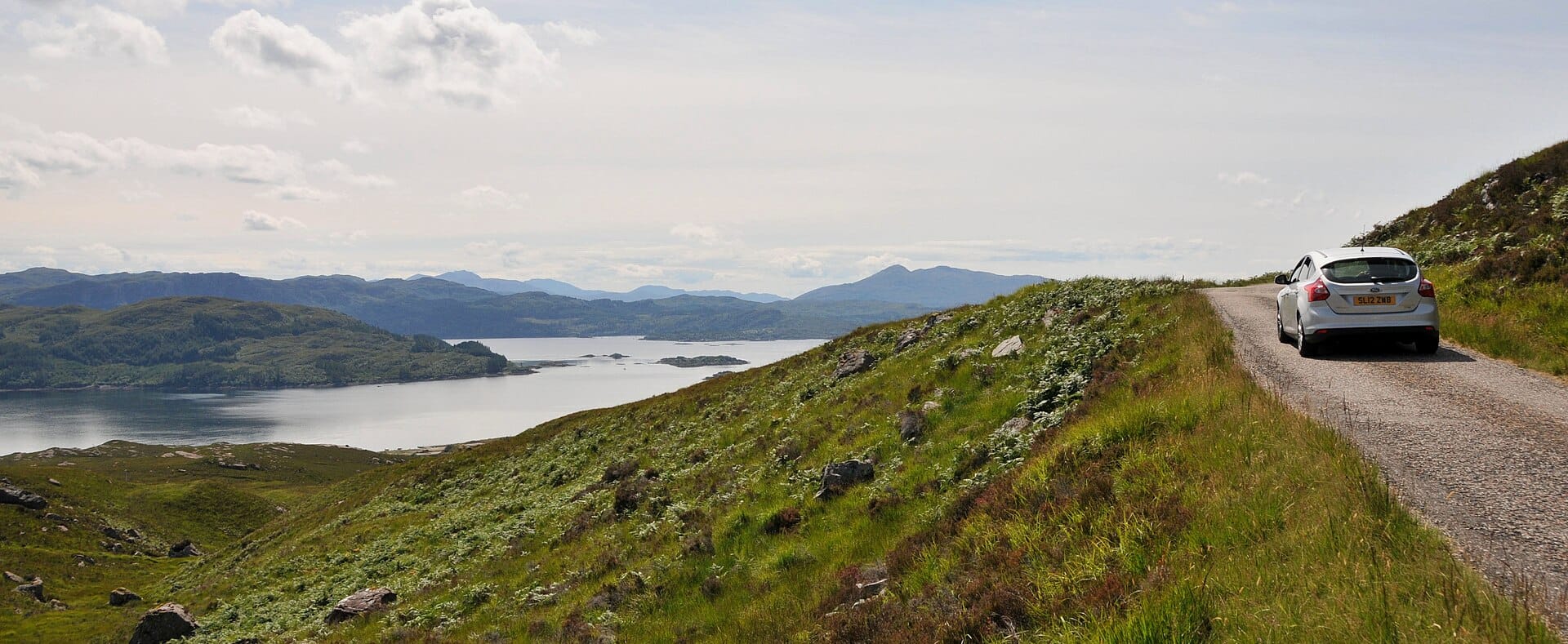
Bealach na Bà
ScotlandAlso for road-trippers and photographers · 14°C in July (16°C here) · cheaper to stay
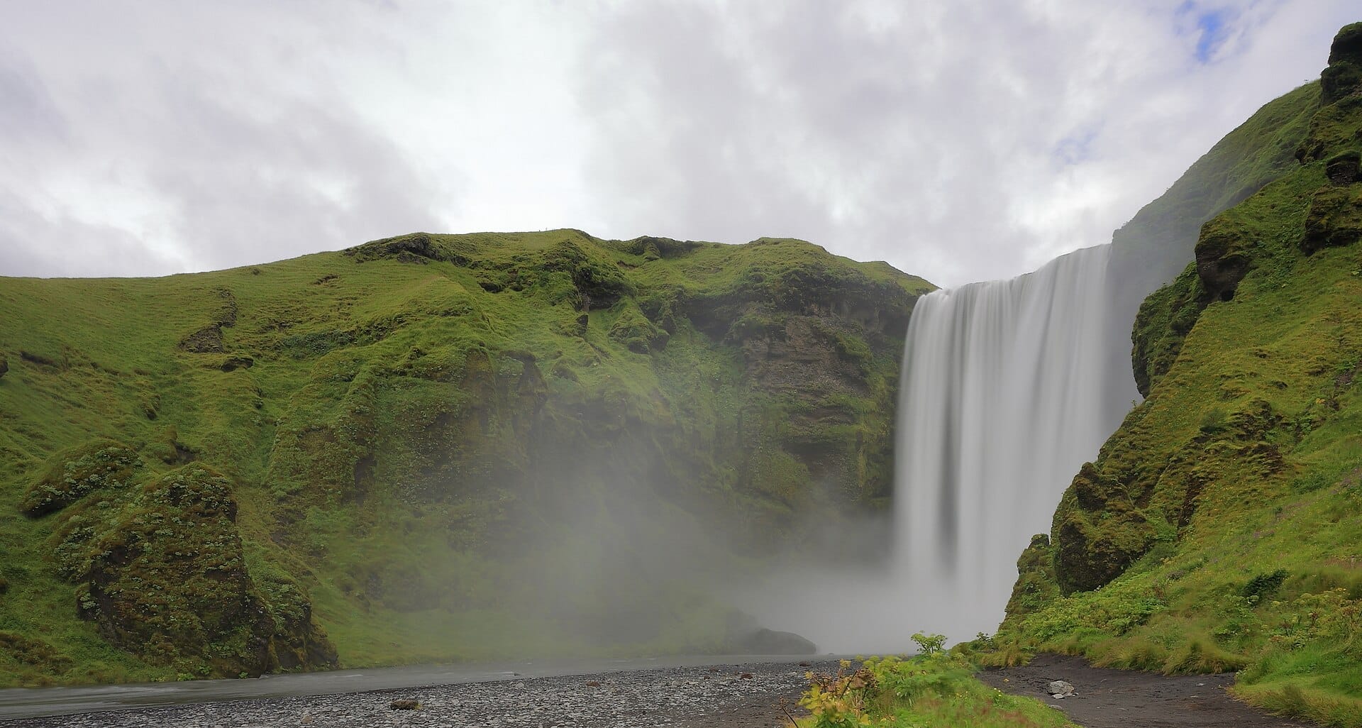
The Ring Road
IcelandAlso for road-trippers and photographers · 14°C in July (16°C here)
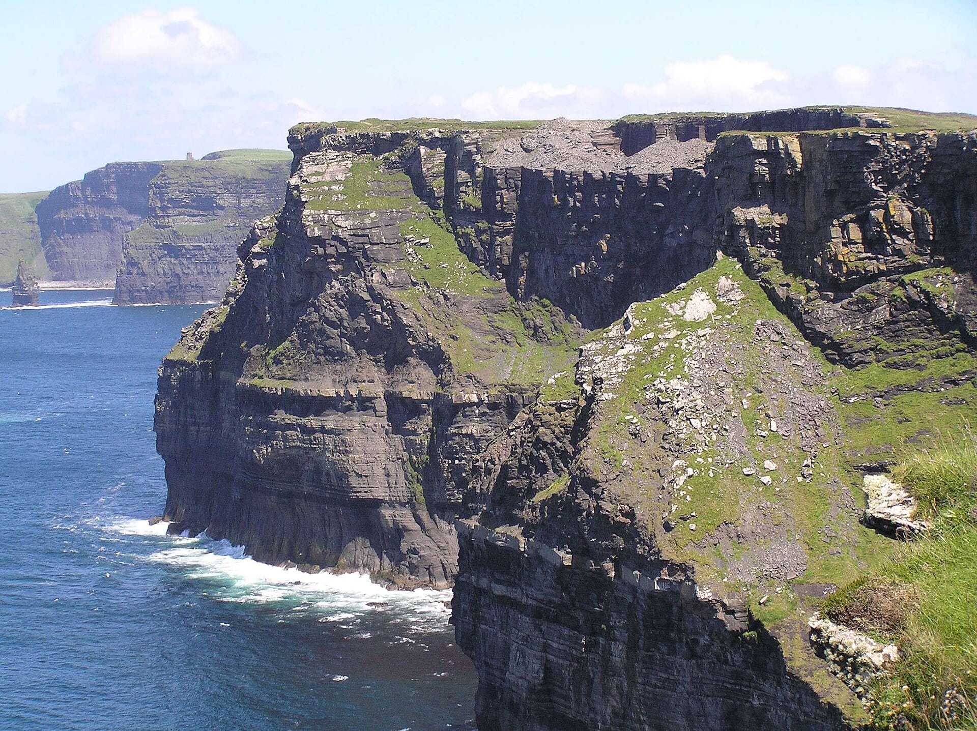
Wild Atlantic Way
IrelandAlso for road-trippers and photographers · 17°C in July, as here · cheaper to stay
Nearby destinations

Related articles
Quick answers
When is the best time to visit The Atlantic Ocean Road?
Daytime highs run from about 3°C in December to 16°C in August. Driest April to July; wettest in October, with rain on about 22 days.
How long should I spend in The Atlantic Ocean Road?
Our suggestion: a day trip from Molde.
How do I get to The Atlantic Ocean Road?
Kristiansund (KSU) is about 30 to 40 minutes by car to the northern end of the Atlanterhavsveien via the Atlanterhavstunnelen. Molde airport is a similar drive from the southern end.
Do I need a car in The Atlantic Ocean Road?
Yes, a car makes a real difference here. A local bus route does cross the road, but the whole point is stopping where you like, so hire a car.
What currency and language are used in The Atlantic Ocean Road?
Currency: Norwegian krone (NOK). Language: Norwegian. Plugs: type C and F.
Who is The Atlantic Ocean Road best for?
Best for road-trippers, photographers and couples. In a phrase: windswept, engineered, faintly cinematic.