
Tatra Mountains
A compact granite range with a big-mountain attitude, the Tatras run a superb hut network on both sides of the border, so multi-day routes need only a light pack and a booking.
- Best forWalkers & hikers · Adventure seekers · Budget travellers
- In October11°C · 11 rainy days
- Ideal stay4–6 nights
- Approx. flying time~12h 15m from Los Angeles
- CurrencyPLNPolish złoty
- LanguagePolish
- Local time11:311h ahead of the UK
- PlugsType C / EBring an adapter
- Drive on theRightOpposite to the UK
- Dialling code+48
Why go
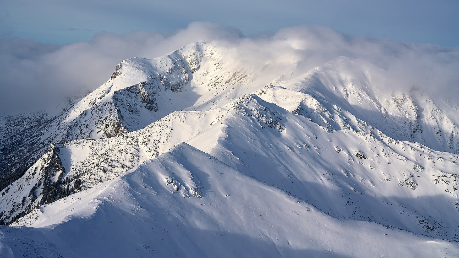
Granite peaks crowd into a range barely 60 kilometres long, which is why the Tatras feel far larger than the map suggests. Valleys hold glacial lakes the colour of slate, ridges rise into scree and fixed chains, and the walking swings from gentle lakeside strolls to steep scrambles within a single morning. Marmots whistle above the treeline. Below it, sheep cheese smokes over open fires in wooden huts.
Most trips run four to seven days, long enough to cross the border on foot and see both national parks properly. Zakopane brings folk architecture, thermal baths and a certain amount of noise; the Slovak side is quieter and better organised for hut-to-hut nights. Winter turns the whole region into a ski and snowshoe destination. Anyone hoping for wilderness solitude in August should think again.
- Ideal stay
- 4–6 nights
- The vibe
- Sharp, sociable, properly mountainous
From our guides
Base yourself in Zakopane for the Polish side or Štrbské Pleso for the Slovak, and build up from valley lakes to ridge passes. Costs are refreshingly low by alpine standards. Watch afternoon thunderstorms in July and August; start walking early.
Featured in Ten national parks for your first proper trek
Things to do
-
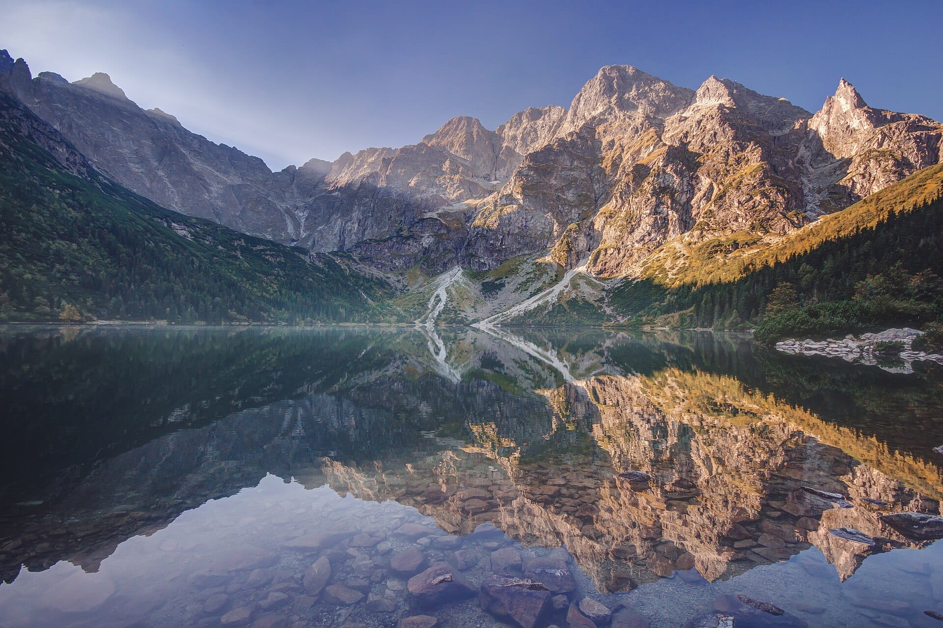
Morskie Oko
Poland's largest Tatra lake sits in a bowl of granite walls, reached by a broad, steady track. Continue upward to Czarny Staw for the better view and thinner crowds.
-
Rysy, the border summit
The highest point in Poland straddles the frontier at 2,499 metres. Chains assist the final section, and the ascent is a long, serious day rather than a casual walk.
-
Kasprowy Wierch cable car
A quick lift from Kuznice to a ridge at 1,987 metres, with a weather station, wide views and the option of walking down through the Gasienicowa valley.
-
Strbske Pleso
A glacial lake on the Slovak side, ringed by a level path and served by the mountain railway. Trails climb from here towards Mlynicka dolina and its waterfalls.
-
The mountain hut network
Refuges on both sides of the border serve hot soup and simple beds, so multi-day routes need only a light pack. Reserve well ahead for summer weekends.
-
Zakopane's wooden style
The Zakopane School architecture of Stanislaw Witkiewicz lines the older streets, and Krupowki is the place for oscypek, the smoked sheep's cheese sold from grills.
Getting there
-
Fly to
Balice (KRK)
Nearest airport to Zakopane, about 90km away as the crow flies.
-
Then
To Zakopane
Kraków (KRK) is the usual gateway for the Polish side, about two hours by coach or car south to Zakopane. Poprad (TAT) is nearer the Slovak side but has very few flights.
-
On the ground
Getting around
Zakopane is walkable, with frequent minibuses to the trailheads at Kuźnice and Palenica Białczańska, plus a funicular up Gubałówka and a cable car to Kasprowy Wierch.
Public transport: Frequent coaches from Kraków and local minibuses into the valleys make a car unnecessary on the Polish side; crossing to Štrbské Pleso is slower.
Flights
Los Angeles Zakopane, Poland
Fly from anywhere — search 4,000+ airports worldwide.
Roughly 12h 15m in the air from Los Angeles (LAX), estimated from the distance — check for a direct route. Pick a month to see every available flight with live prices.
Check dates and prices
Pick your departure date, then your return.
Search flightsNot sure when? Compare fares across a whole month.
Flight times are estimates; prices open on Google Flights.
When to go
Daytime highs run from about -1°C in January to 20°C in August. Driest in October and November; wettest in July, with rain on about 18 days.
The year at a glance — pick a month for detail
October11° · rain 11 daysCool with rain most weeks.
Monthly figures averaged from daily records for 2020–2024 at this location (ERA5 reanalysis). Live conditions from MET Norway, CC BY 4.0.
Where to stay
Wooden pensions and guesthouses on the Polish side, older resort hotels on the Slovak, plus the mountain hut network for multi-day routes. Costs are low by alpine standards.
-
Best base overall
Zakopane
The Polish mountain capital, with trailheads, guides, rental shops and a long pedestrian street of restaurants. It is also crowded and kitsch in places, which is part of the deal.
Find stays in Zakopane -
Quietest
Kościelisko and Murzasichle
Villages a few kilometres out of Zakopane, with wooden guesthouses, valley views and buses in. Cheaper and calmer, with less to do in the evening.
Find stays in Kościelisko and Murzasichle -
Closest to the sights
Štrbské Pleso
A lakeside resort on the Slovak side at the start of several hut routes, on the mountain railway. Purpose-built and short on charm, but the trails begin outside.
Find stays in Štrbské Pleso -
Best value
Poprad and Stary Smokovec
The valley town and the old spa village below the Slovak peaks, with cheaper rooms, the electric railway and thermal baths for rest days. A good family base.
Find stays in Poprad and Stary Smokovec
Worth knowing before you book: The huts are small and must be booked ahead for summer weekends, and Polish school holidays plus the New Year period fill Zakopane completely.
Search everything else in Zakopane by budget. These are indicative budget bands in GBP per night for two people, not live quotes or guarantees of hotel type. Check your dates, guests, taxes and final price on Booking.com.
Good to know
- Timing
- Afternoon thunderstorms are common in July and August. Start at first light and aim to be off exposed ridges by early afternoon.
- Park rules
- Both national parks charge a modest entry fee at trailheads and require you to stay on marked paths. Wild camping is not permitted.
- Book ahead
- Mountain huts fill months in advance for summer weekends, and the Morskie Oko car park is often full before eight in the morning.
- Crossing over
- You can walk between Poland and Slovakia on marked trails, but carry a passport or ID card and check which crossings are open.
- Pack this
- Waterproofs, layers and boots with grip. Snow lingers in high gullies into June, and chained sections stay slippery after rain.
Similar places
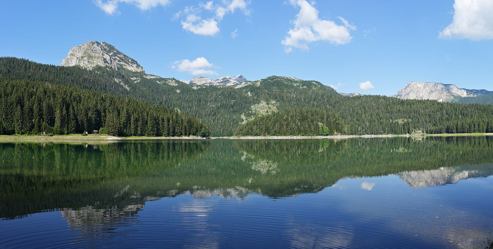
Durmitor National Park
MontenegroAlso for walkers & hikers and adventure seekers · 9°C in October (11°C here)
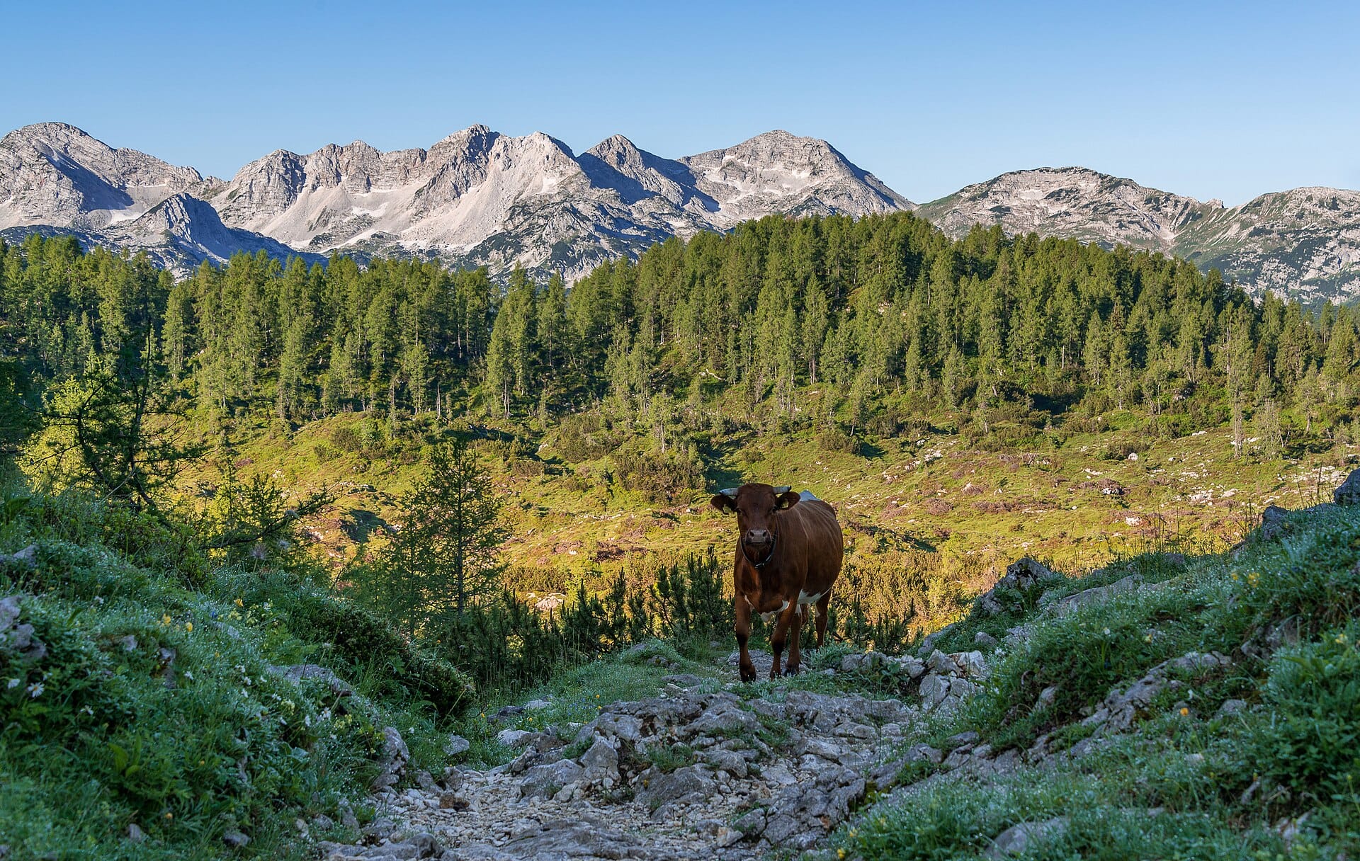
Triglav National Park
SloveniaAlso for walkers & hikers and adventure seekers · 8°C in October (11°C here)
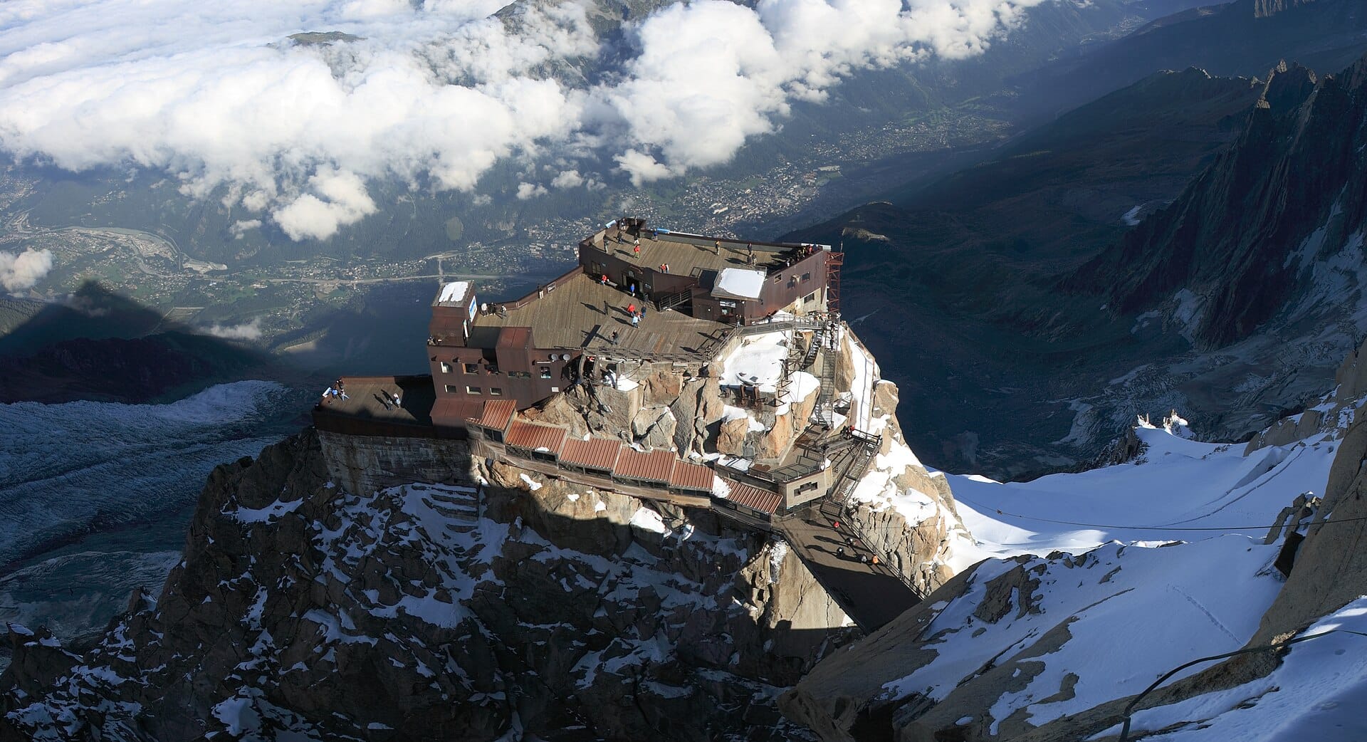
Chamonix
FranceAlso for walkers & hikers and adventure seekers · 15°C in October (11°C here)
Nearby destinations
Related articles
Quick answers
When is the best time to visit Tatra Mountains?
Daytime highs run from about -1°C in January to 20°C in August. Driest in October and November; wettest in July, with rain on about 18 days.
How long should I spend in Tatra Mountains?
Our suggestion: 4–6 nights.
How do I get to Tatra Mountains?
Kraków (KRK) is the usual gateway for the Polish side, about two hours by coach or car south to Zakopane. Poprad (TAT) is nearer the Slovak side but has very few flights.
Do I need a car in Tatra Mountains?
No. Frequent coaches from Kraków and local minibuses into the valleys make a car unnecessary on the Polish side; crossing to Štrbské Pleso is slower.
What currency and language are used in Tatra Mountains?
Currency: Polish złoty (PLN). Language: Polish. Plugs: type C and E.
Who is Tatra Mountains best for?
Best for walkers & hikers, adventure seekers and budget travellers. In a phrase: sharp, sociable, properly mountainous.