
Mulhacén
Mainland Spain's highest mountain is the continent's most forgiving three-thousander: in summer a national park minibus from Capileira drops you at 2,700 metres, leaving a broad, walkable ridge to the 3,479-metre summit.
- Best forWalkers & hikers · Adventure seekers · Photographers
- In February14°C · 7 rainy days
- Ideal stay3 nights
- Approx. flying time~12h from Los Angeles
- CurrencyEUREuro
- LanguageSpanish
- Local time14:071h ahead of the UK
- PlugsType C / FBring an adapter
- Drive on theRightOpposite to the UK
- Dialling code+34
Why go
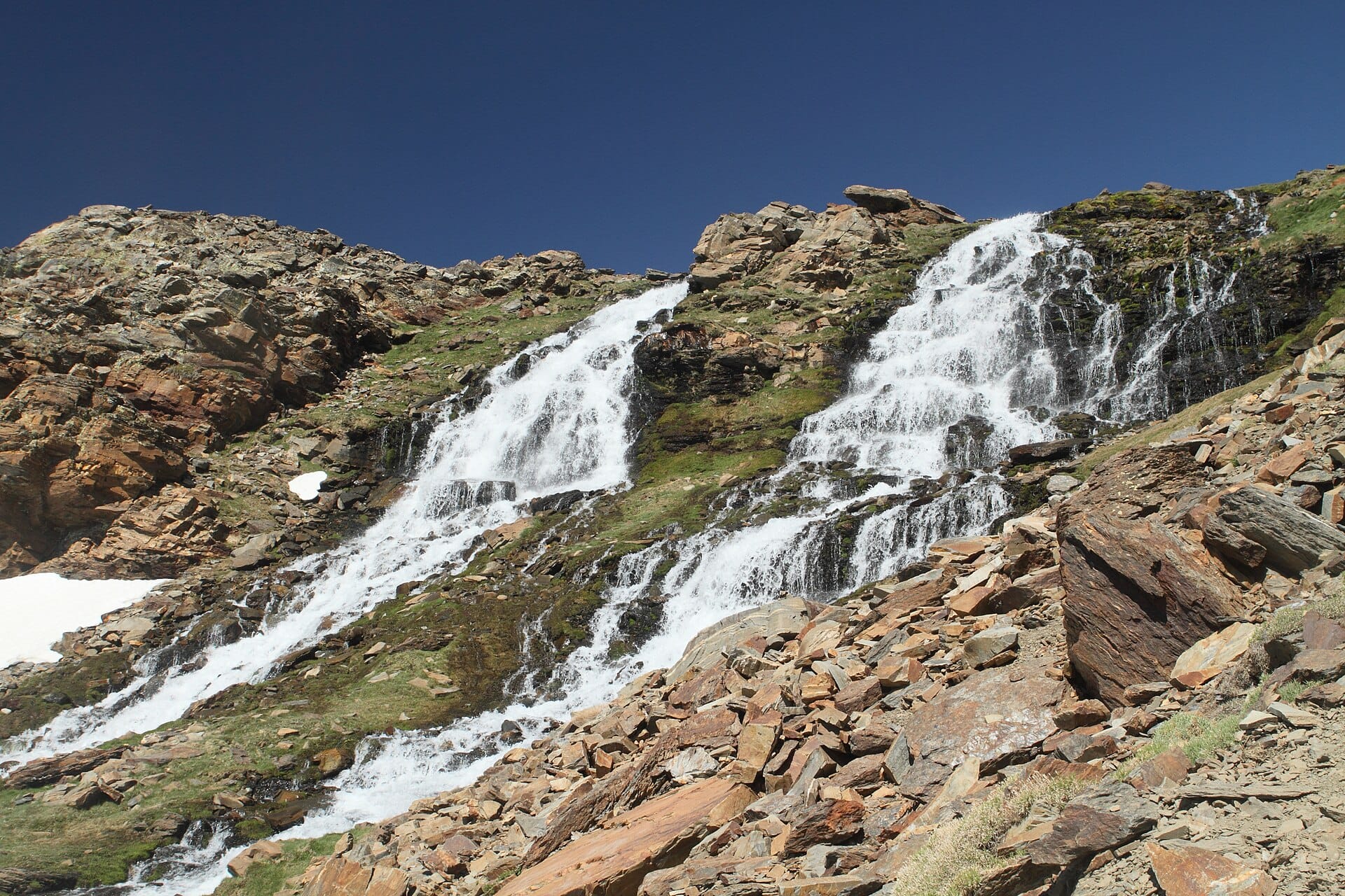
Above the white villages of the Alpujarras the Sierra Nevada turns bare and enormous, a treeless plateau of schist, snow patches and glacial lakes that feels far closer to Morocco than to Andalusia. Mulhacén itself is a broad whaleback rather than a spire, and the walking is a long, steady grind on good ground rather than anything exposed. On a clear day the Mediterranean and the Rif mountains are both visible.
Two or three days does it: a night in a mountain village, the summit day, and time to sit under a fig tree afterwards. Granada is an hour and a half away, which makes an obvious pairing. July to September is the reliable window, when the park shuttle runs and the snow has gone. In winter the same peak is a serious mountaineering objective, not a walk.
- Ideal stay
- 3 nights
- The vibe
- High, bare, sun-bleached
From our guides
From the top the Sierra Nevada falls away towards Africa, visible across the water on clear days. Book the shuttle a few days ahead in August. Base yourself in the white villages of the Alpujarras and celebrate the descent with jamón.
Featured in Ten treks for your first big summit or base camp
Things to do
-
Capileira and the Poqueira gorge
Three white villages stacked up a single ravine, with flat roofs, chestnut woods and ham-curing sheds. The usual base for the climb.
-
The national park shuttle
A summer minibus that lifts walkers from Capileira to around 2,700 metres, removing the dullest part of the ascent. Places need booking a few days ahead in August.
-
Laguna de la Caldera
A small glacial lake in a cirque below the summit, and the traditional camping spot for anyone splitting the climb over two days.
-
Pico Veleta
The next big summit along the ridge, reachable on the same high plateau and easier still, with a road climbing to a startling height on the Granada side.
-
Trevélez
One of the highest villages in Spain, where the dry mountain air has cured hams for centuries. The obvious place to eat after coming down.
-
Granada and the Alhambra
Ninety minutes down the valley, with the Nasrid palaces and the Albaicín quarter looking straight back at the snow you were standing on.
Getting there
-
Fly to
Granada (GRX)
Nearest airport to Mulhacén, about 50km away as the crow flies.
-
Then
To Capileira
About an hour and a half by car from Granada (GRX), east along the motorway then up into the Alpujarras on a slow mountain road.
-
On the ground
Getting around
In summer the national park minibus from Capileira climbs to around 2,700 metres at the Mirador de Trevelez, leaving a broad walk of a few hours to the summit and back.
Public transport: Buses reach the Alpujarra villages from Granada a couple of times a day, and the park shuttle covers the last stretch, but a car makes the logistics far easier.
Flights
Los Angeles Mulhacén, Spain
Fly from anywhere — search 4,000+ airports worldwide.
Roughly 12h in the air from Los Angeles (LAX), estimated from the distance — check for a direct route. Pick a month to see every available flight with live prices.
Check dates and prices
Pick your departure date, then your return.
Search flightsNot sure when? Compare fares across a whole month.
Flight times are estimates; prices open on Google Flights.
When to go
Daytime highs run from about 11°C in January to 31°C in July. Driest in July and August; wettest in March, with rain on about 13 days.
The year at a glance — pick a month for detail
February14° · rain 7 daysCool with the odd shower.
Monthly figures averaged from daily records for 2020–2024 at this location (ERA5 reanalysis). Highlighted months are warm and mostly dry — June to August. Live conditions from MET Norway, CC BY 4.0.
Where to stay
Village guesthouses and casas rurales in the white villages, a couple of mountain refuges at altitude, and self-catering houses. No resorts and no chains.
-
Best base overall
Capileira
The highest of the Poqueira villages and the departure point for the national park minibus. Small, steep and cold at night, with a handful of restaurants that close out of season.
Find stays in Capileira -
Best value
Bubion and Pampaneira
The two villages just below Capileira, cheaper and slightly warmer, a few minutes down the road. You will drive or walk up for the shuttle, which leaves early.
Find stays in Bubion and Pampaneira -
Quietest
Trevelez
The ham village on the eastern approach, with its own route towards the summit ridge and mountain refuges above. Remote, with a winding drive from anywhere.
Find stays in Trevelez -
Best with children
Lanjaron and Orgiva
Lower Alpujarra towns with more services, warmer evenings and a wider choice of rooms with pools. It is an hour of hairpins up to the trailhead.
Find stays in Lanjaron and Orgiva
Worth knowing before you book: The park shuttle from Capileira runs only in summer and must be booked days ahead in August, and refuge bunks need reserving separately.
Search everything else in Capileira by budget. These are indicative budget bands in GBP per night for two people, not live quotes or guarantees of hotel type. Check your dates, guests, taxes and final price on Booking.com.
Good to know
- Shuttle
- The park bus only runs in the summer months and stops early in the afternoon. Miss the last one down and you are walking several hours to the village.
- Timing
- Start at first light. Afternoon thunderstorms build fast over the plateau in summer and there is no shelter on the ridge.
- Altitude
- At 3,479 metres this is the highest point on mainland Spain, and the last stretch feels it. Pace yourself and expect to be slower than usual.
- Water
- There are springs on the route but they are unreliable late in the season. Carry at least two litres a person and top up when you can.
- Pack this
- Sun protection above all, plus a windproof layer. The plateau has no shade at all and the wind on the summit is constant.
Similar places
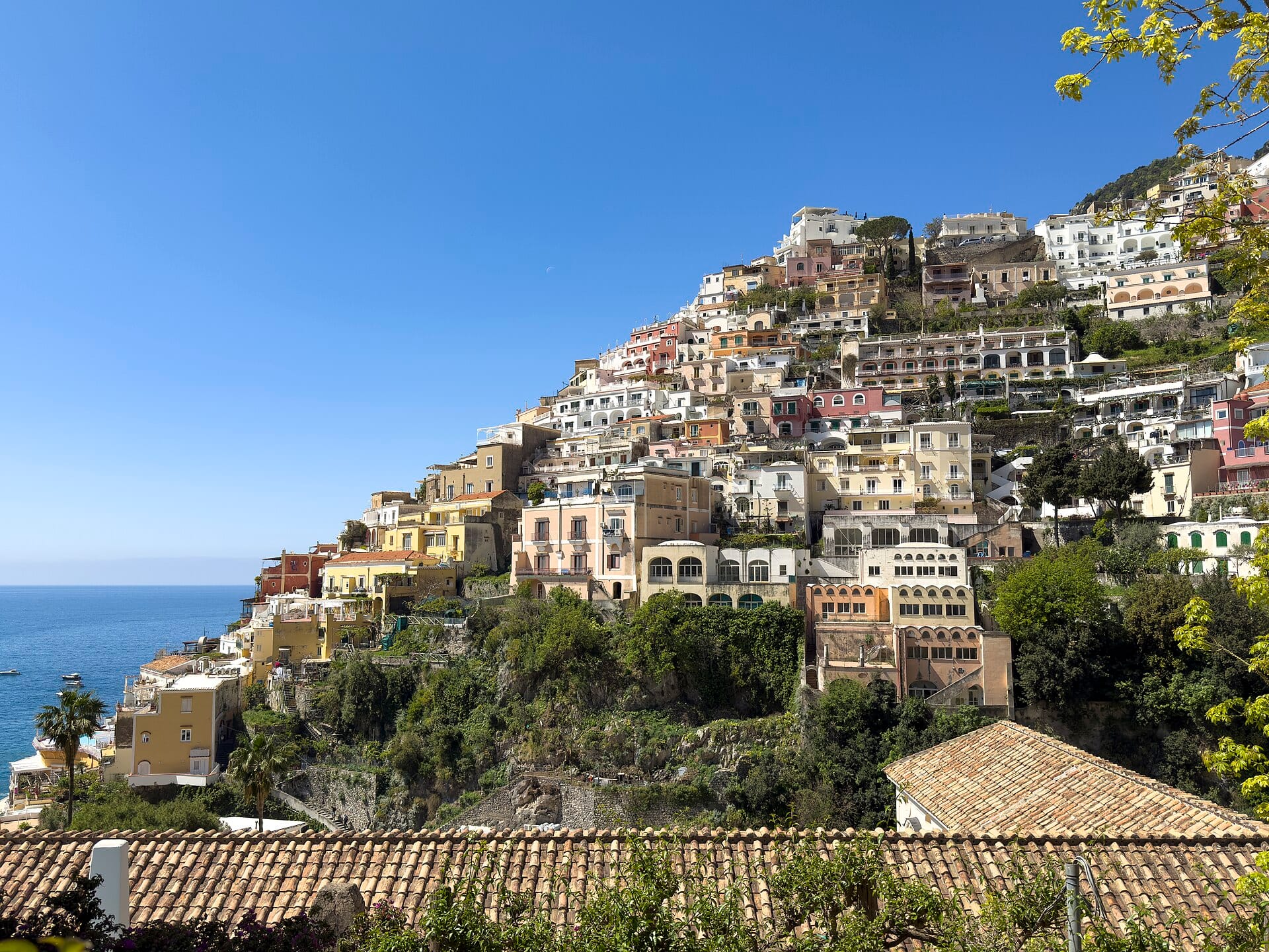
Amalfi Coast
ItalyAlso for walkers & hikers and photographers · 14°C in February, as here
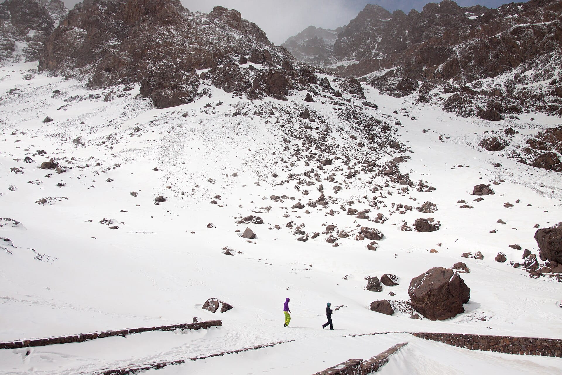
Mount Toubkal
MoroccoAlso for walkers & hikers and adventure seekers · 13°C in February, as here · cheaper to stay
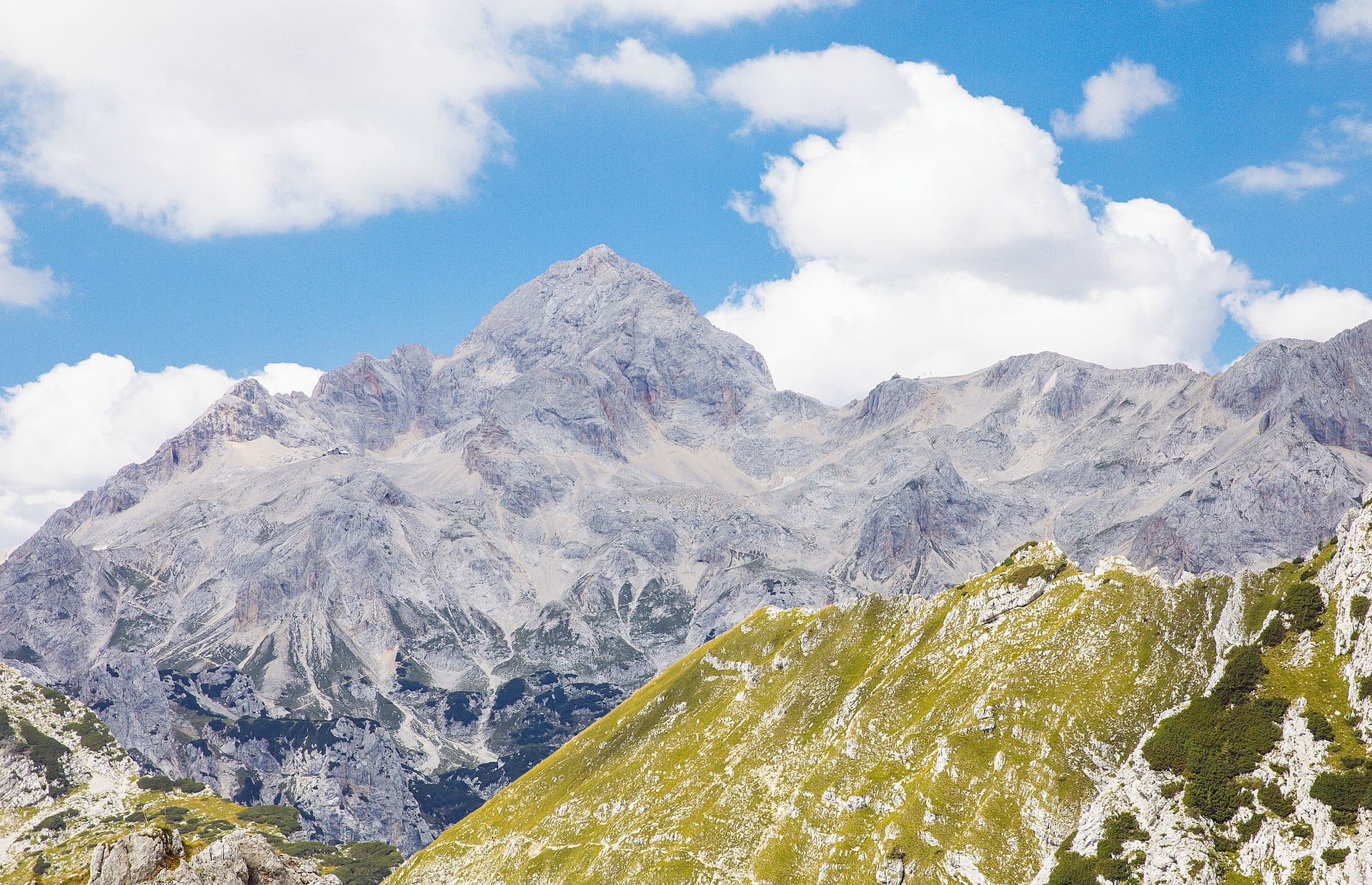
Triglav
SloveniaAlso for walkers & hikers and adventure seekers · 7°C in February (14°C here)
Nearby destinations
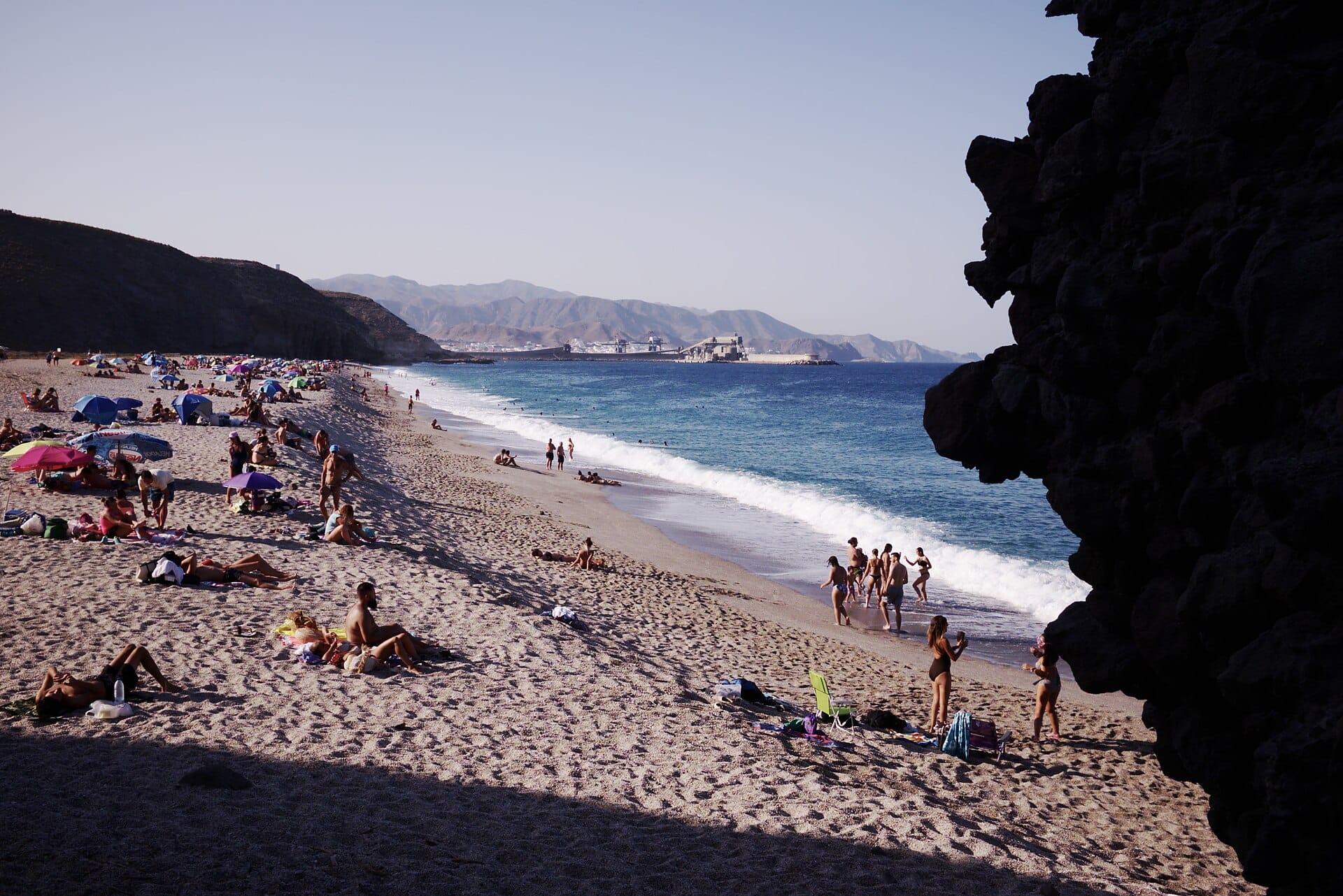
Playa de los Muertos
Almería, Spain · 121km away →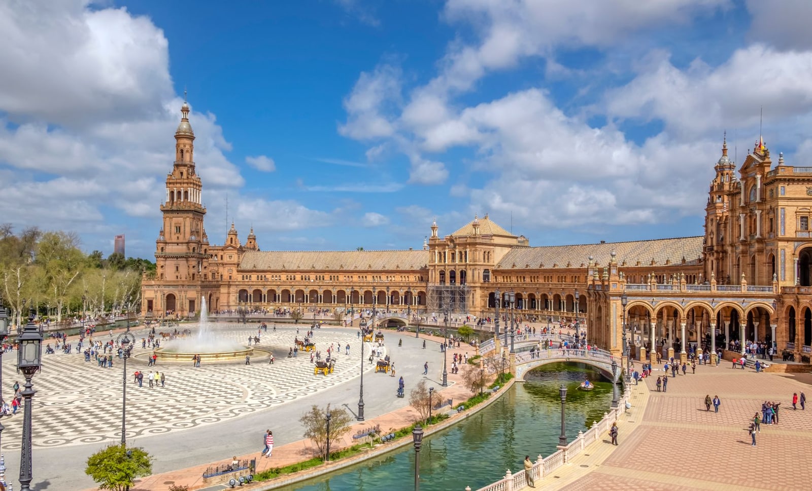
Seville
Spain · 246km away →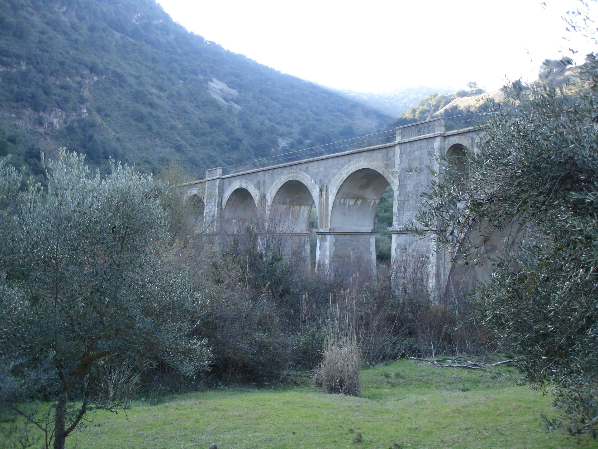
The Vías Verdes greenways
Spain · 293km away →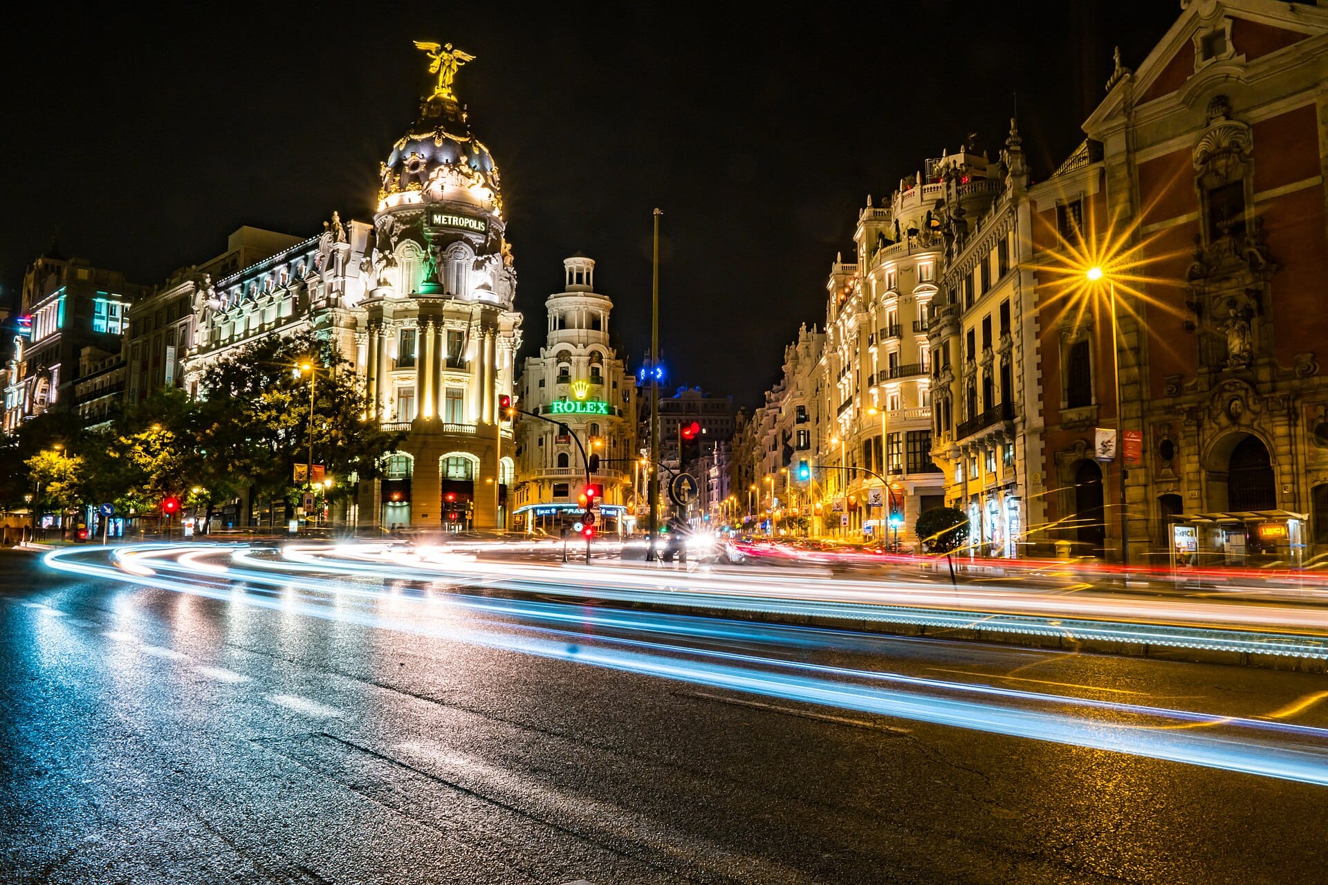
Madrid
Spain · 382km away →
The Algarve
Portugal · 423km away →
Kayaking the Benagil caves
Algarve, Portugal · 438km away →Elsewhere in Spain
Related articles
Quick answers
When is the best time to visit Mulhacén?
For warm, mostly dry days, June to August. That means highs of 20–34°C with rain on six days a month or fewer. Daytime highs run from about 11°C in January to 31°C in July. Driest in July and August; wettest in March, with rain on about 13 days.
How long should I spend in Mulhacén?
Our suggestion: 3 nights.
How do I get to Mulhacén?
About an hour and a half by car from Granada (GRX), east along the motorway then up into the Alpujarras on a slow mountain road.
Do I need a car in Mulhacén?
Yes, a car makes a real difference here. Buses reach the Alpujarra villages from Granada a couple of times a day, and the park shuttle covers the last stretch, but a car makes the logistics far easier.
What currency and language are used in Mulhacén?
Currency: Euro (EUR). Language: Spanish. Plugs: type C and F.
Who is Mulhacén best for?
Best for walkers & hikers, adventure seekers and photographers. In a phrase: high, bare, sun-bleached.