
Icefields Parkway
The 230 kilometres between Banff and Jasper may be the most scenic tank of petrol on earth: turquoise lakes (Peyto is the poster child), the Athabasca Glacier grinding down almost to the road, and a fair chance of elk or a black bear in the verges.
- Best forRoad-trippers · Wildlife & nature · Walkers & hikers
- In June15°C · 19 rainy days
- Ideal stay2 days, with a night en route
- Approx. flying time~2h 55m from Los Angeles
- CurrencyCADCanadian dollar
- LanguageEnglish and French
- Local time05:107h behind the UK
- PlugsType A / BBring an adapter
- Drive on theRightOpposite to the UK
- Dialling code+1
Why go
The highway between Lake Louise and Jasper runs for 232 kilometres along a chain of glaciers, and it has almost no towns, junctions or distractions. Peaks rise straight from the roadside, lakes hold that strange opaque turquoise that comes from rock flour, and the Columbia Icefield spills a tongue of ice almost to the tarmac. Elk, bighorn sheep and black bears turn up in the verges with unnerving regularity.
Two days is the right pace, with a night somewhere along the route, because rushing it in an afternoon wastes the trailheads and the light. The road is open all year but winter driving is a serious undertaking with long stretches of no services and no signal. June to September gives open viewpoints, full lakes and long days, along with company at every car park.
- Ideal stay
- 2 days, with a night en route
- The vibe
- Vast, glacial, gloriously empty
From our guides
Do it over two days with a night at a lakeside lodge, and fill up before leaving — services are scarce. June to September keeps the viewpoints open; park passes are required and checked.
Featured in Ten epic road trips for your someday list
Things to do
-
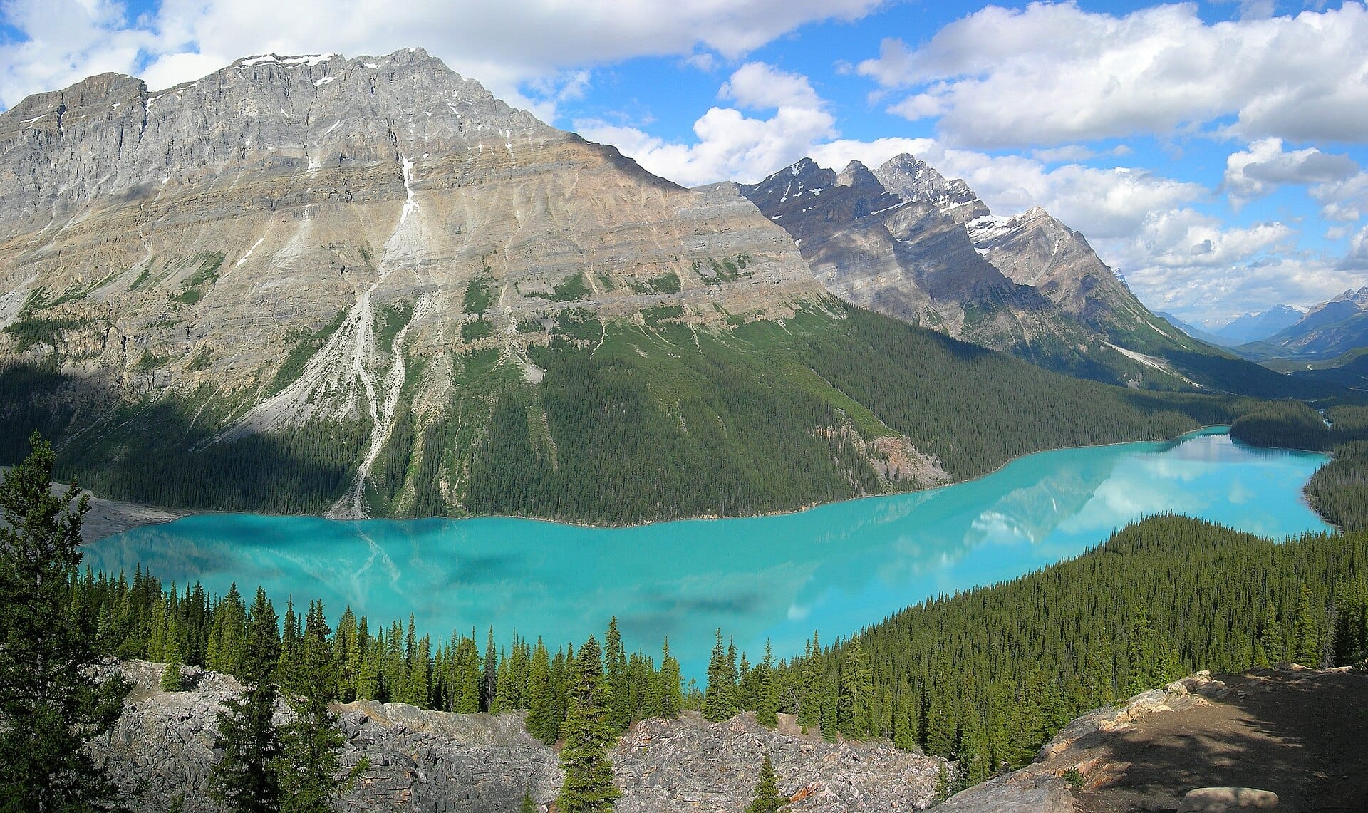
Peyto Lake
A short walk from the car park at Bow Summit reaches a viewing platform above a lake the shape of a wolf's head, in a blue that looks mixed rather than natural.
-
Athabasca Glacier
A tongue of the Columbia Icefield reaching almost to the road. Markers along the approach show how far it has retreated, which is the sobering part.
-
Parker Ridge trail
A steady switchback climb of about two hours return, ending on a ridge with the Saskatchewan Glacier below. The best short walk on the route.
-
Athabasca Falls
The river forces itself through a narrow quartzite gorge with real violence, viewed from railed walkways. Loud, close and easy for all ages.
-
Bow Lake
A wide, shallow lake with a glacier at the far end and a flat shoreline path. Early morning brings mirror reflections before any wind gets up.
-
Mistaya Canyon
A ten-minute walk down from the road reaches a slot canyon where the river has drilled potholes through limestone. Frequently missed by people driving past.
Getting there
-
Fly to
Calgary (YYC)
Nearest airport to Icefields Parkway, about 157km away as the crow flies.
-
Then
To Banff
About an hour and a half by car west from Calgary (YYC) to Banff on the Trans-Canada Highway. Shuttle coaches run the same route several times a day.
-
On the ground
Getting around
The Parkway runs 230 kilometres north from Lake Louise to Jasper and takes a full day with stops, or better still two with a night at Saskatchewan River Crossing or in Jasper. Fill up before you set off, as fuel stops are almost non-existent.
Public transport: A seasonal coach connects Banff, Lake Louise and Jasper along the Parkway, but it does not stop at the lakes and viewpoints that make the drive. A park pass is required and is checked.
Flights
Los Angeles Icefields Parkway, Canada
Fly from anywhere — search 4,000+ airports worldwide.
Roughly 2h 55m in the air from Los Angeles (LAX), estimated from the distance — check for a direct route. Pick a month to see every available flight with live prices.
Check dates and prices
Pick your departure date, then your return.
Search flightsNot sure when? Compare fares across a whole month.
Flight times are estimates; prices open on Google Flights.
When to go
Daytime highs run from about -8°C in December to 22°C in July. Wettest in June, with rain on about 19 days.
The year at a glance — pick a month for detail
June15° · rain 19 daysCool and often wet.
Monthly figures averaged from daily records for 2020–2024 at this location (ERA5 reanalysis). Live conditions from MET Norway, CC BY 4.0.
Where to stay
Mountain lodges, motels and condos with kitchens, plus a few grand railway hotels. Along the parkway itself there are only hostels and one crossroads lodge, so plan fuel and beds carefully.
-
Best base overall
Banff
The southern end of the drive, with the widest choice of hotels, restaurants and hot springs, plus the Bow Valley Parkway. It is expensive and thoroughly touristed, and parking is a daily battle.
Find stays in Banff -
Closest to the sights
Lake Louise
An hour closer to the glaciers, so you reach Peyto and the Athabasca before the coaches. The village is tiny, choices for dinner are few and rates are high for what you get.
Find stays in Lake Louise -
Best value
Canmore
Outside the park gates, twenty minutes from Banff, with cheaper rooms, condos with kitchens and a nicer everyday town feel. You pay for it in driving time each morning.
Find stays in Canmore -
Quietest
Jasper
The northern end, smaller and more relaxed, and the sensible place to sleep if you split the drive over two days. Wildfire recovery has reduced the number of rooms available.
Find stays in Jasper
Worth knowing before you book: July and August rooms in Banff and Jasper go months ahead at peak rates. A park pass is required and checked, and mobile signal on the parkway is nonexistent.
Search everything else in Banff by budget. These are indicative budget bands in GBP per night for two people, not live quotes or guarantees of hotel type. Check your dates, guests, taxes and final price on Booking.com.
Good to know
- Park pass
- A national park pass is required for the whole route and is checked. Buy it in advance or at the park gates and display it in the windscreen.
- Fuel
- There is one small service point roughly halfway, and it is seasonal. Fill up in Lake Louise or Jasper and treat that as non-negotiable.
- No signal
- Mobile coverage is absent for most of the drive. Download maps offline and tell someone your plan before setting out in winter.
- Wildlife
- Never stop in a traffic lane for animals, and stay in the car when bears are close. Carry bear spray on trails and know how to use it.
- Book ahead
- Access to Moraine Lake at the southern end is by shuttle or bus only, reserved in advance. Roadside viewpoints on the parkway need no booking.
Nearby destinations
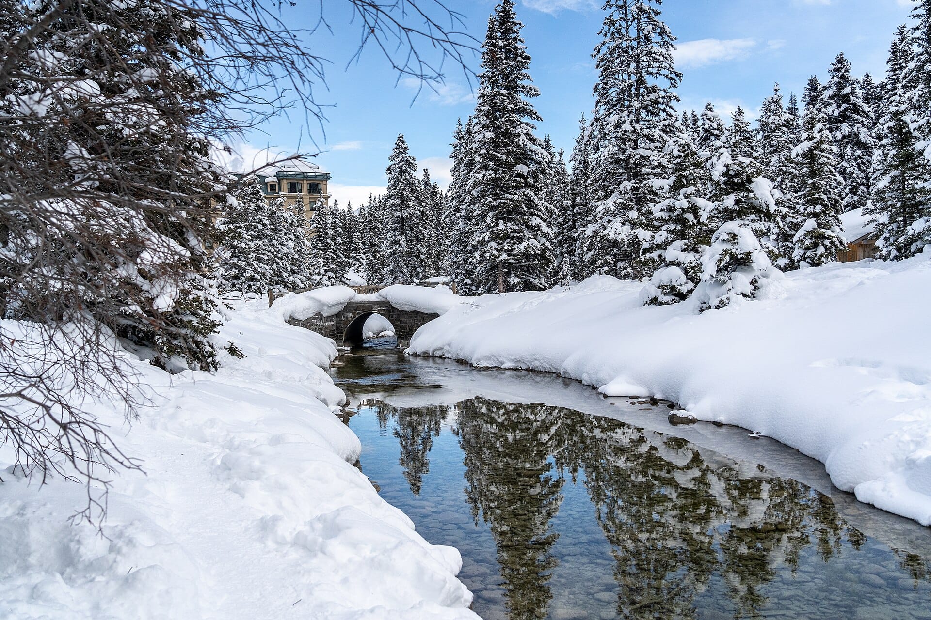
Skating on frozen Lake Louise
Canada · 3km away →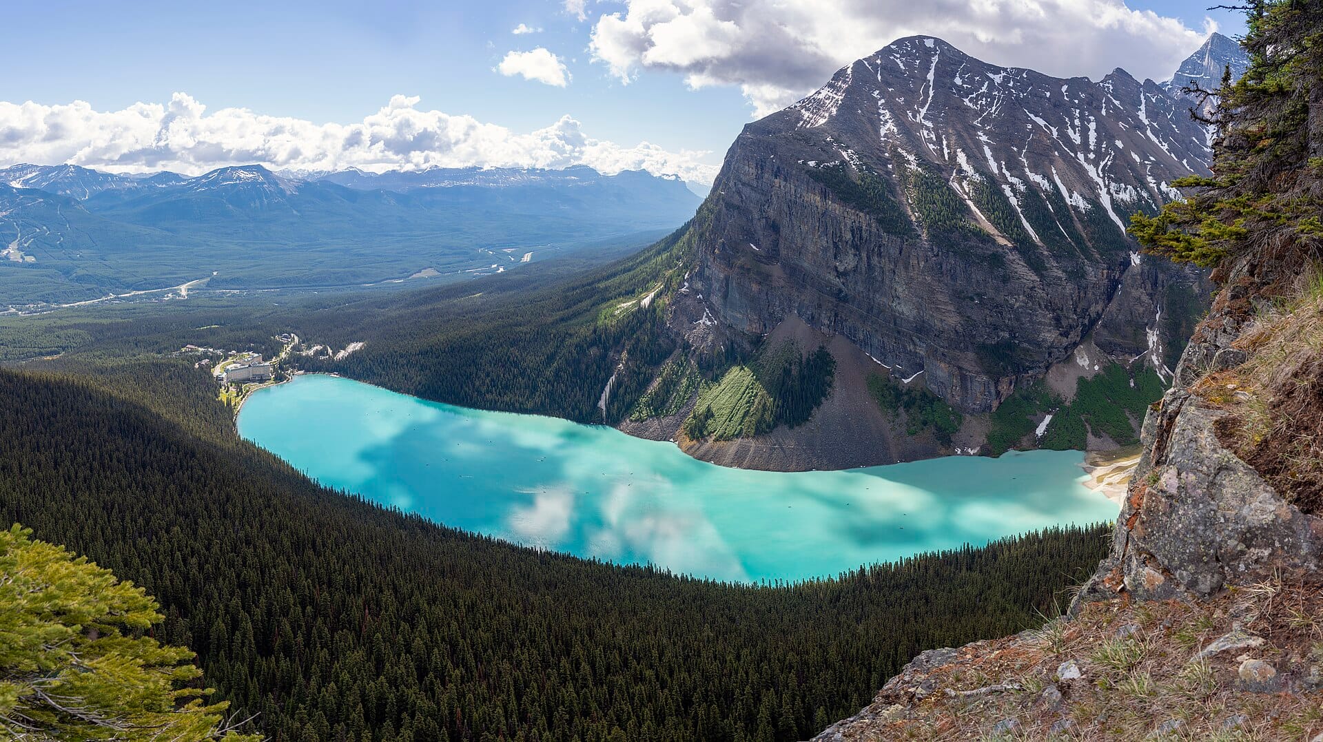
Banff
Canada · 53km away →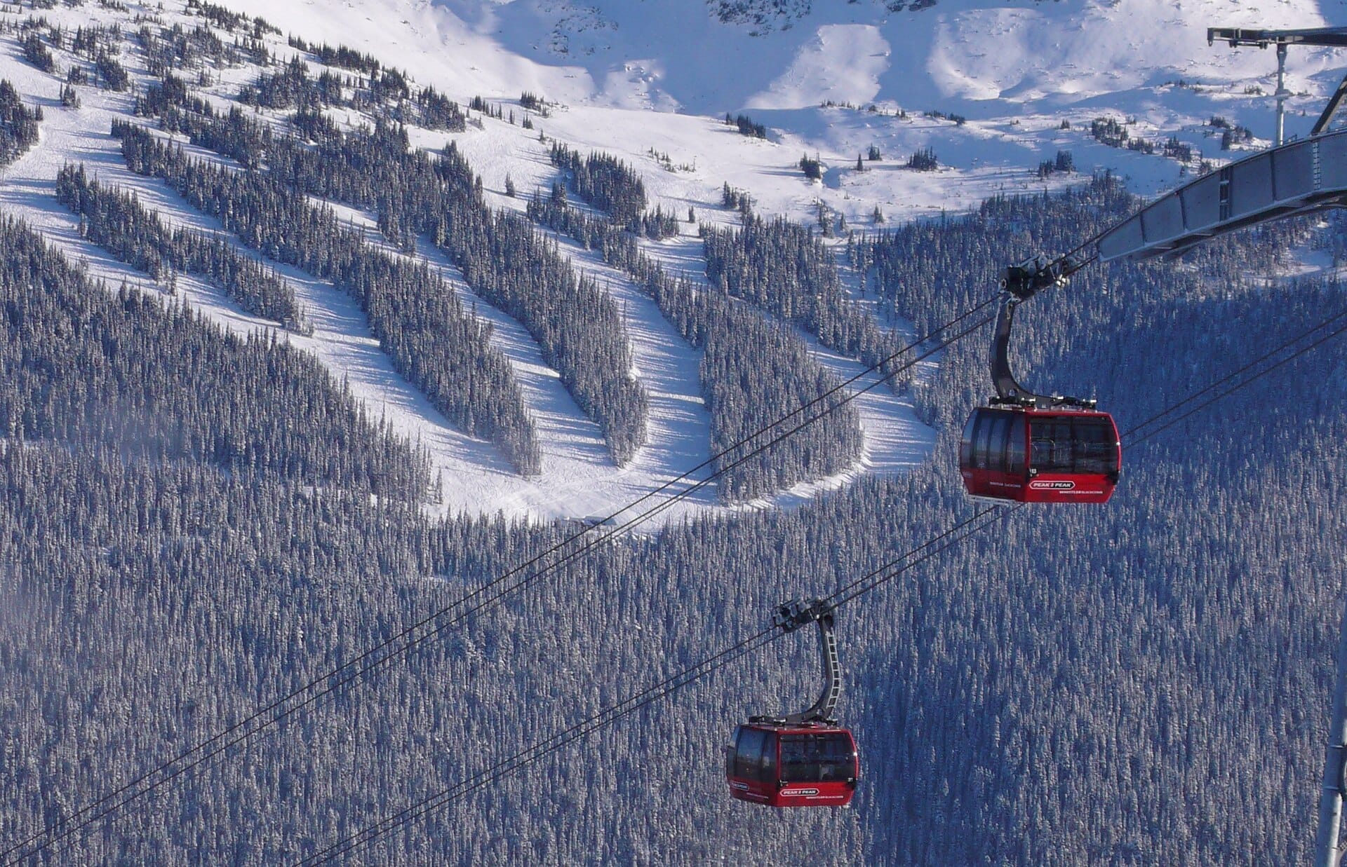
Peak 2 Peak Gondola
Whistler, Canada · 496km away →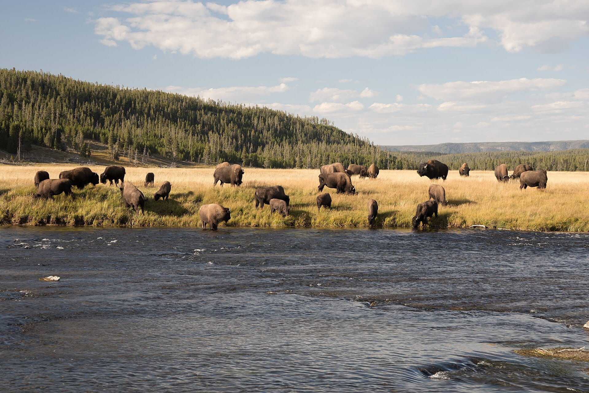
Bison in Yellowstone
USA · 841km away →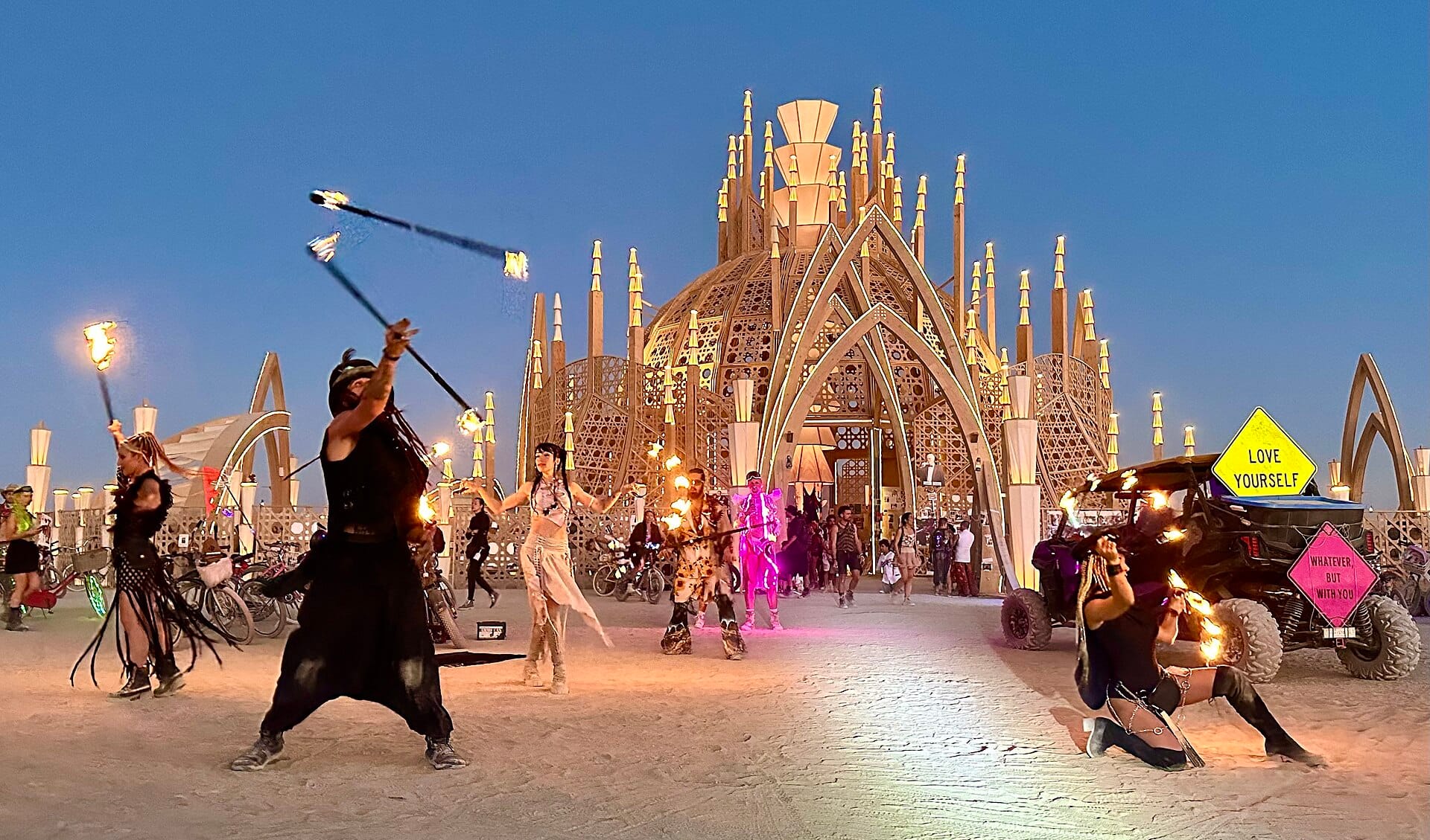
Burning Man
Nevada, USA →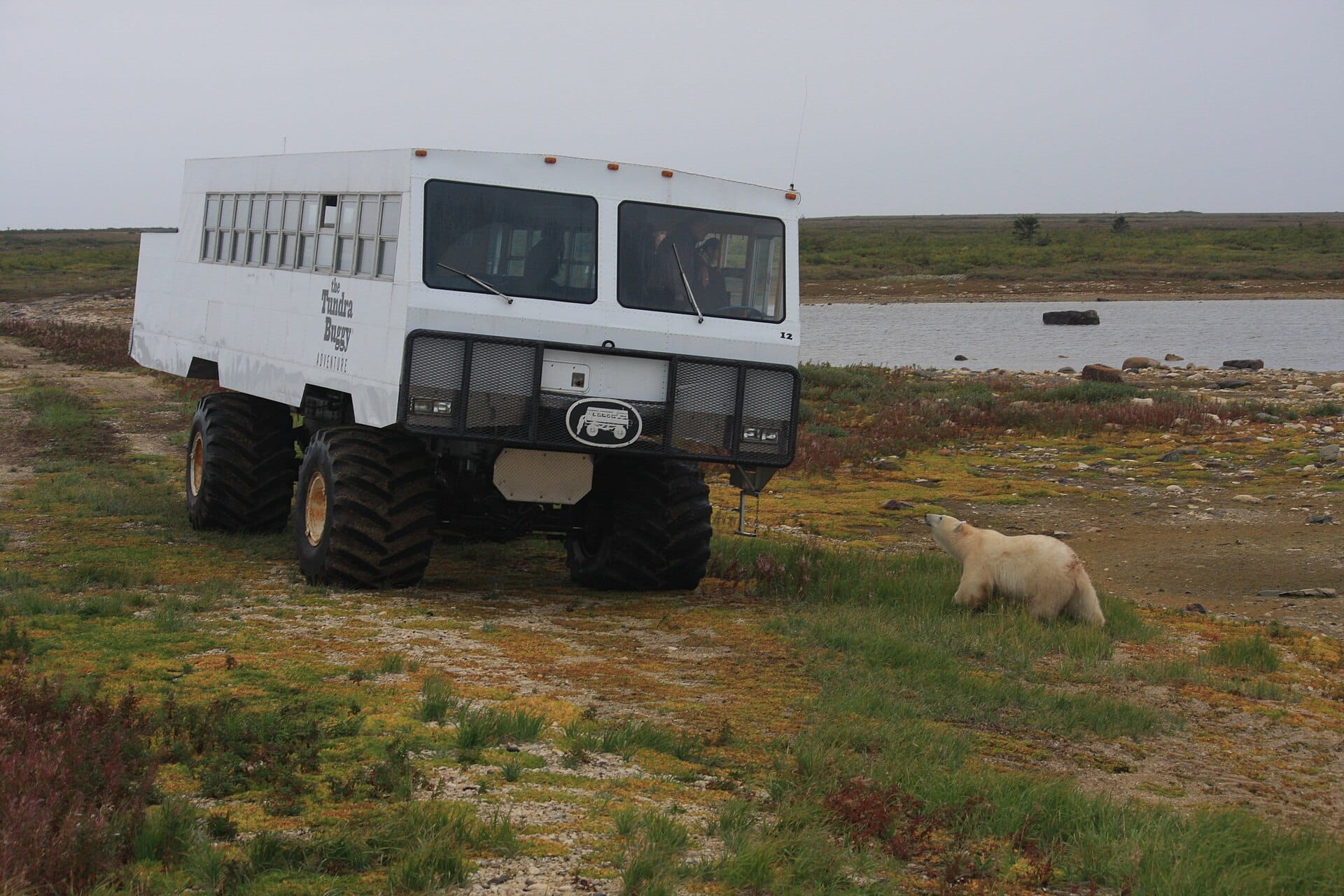
Polar bears
Churchill, Canada →Elsewhere in Canada
Related articles
Quick answers
When is the best time to visit Icefields Parkway?
Daytime highs run from about -8°C in December to 22°C in July. Wettest in June, with rain on about 19 days.
How long should I spend in Icefields Parkway?
Our suggestion: 2 days, with a night en route.
How do I get to Icefields Parkway?
About an hour and a half by car west from Calgary (YYC) to Banff on the Trans-Canada Highway. Shuttle coaches run the same route several times a day.
Do I need a car in Icefields Parkway?
Yes, a car makes a real difference here. A seasonal coach connects Banff, Lake Louise and Jasper along the Parkway, but it does not stop at the lakes and viewpoints that make the drive. A park pass is required and is checked.
What currency and language are used in Icefields Parkway?
Currency: Canadian dollar (CAD). Language: English and French. Plugs: type A and B.
Who is Icefields Parkway best for?
Best for road-trippers, wildlife & nature and walkers & hikers. In a phrase: vast, glacial, gloriously empty.