
Chapman's Peak Drive
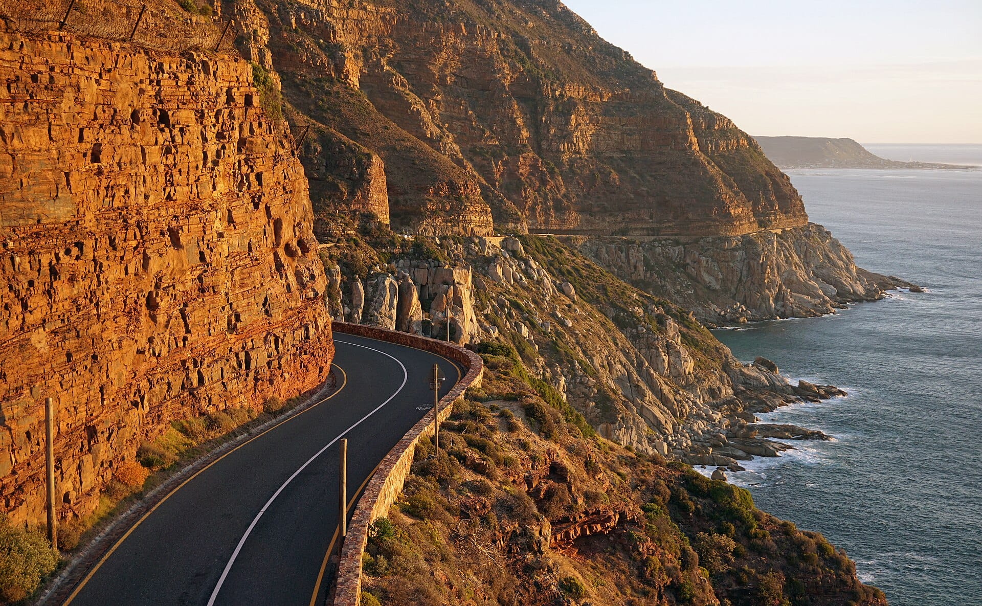
Nine kilometres and 114 curves carved into a cliff face between Hout Bay and Noordhoek, the Atlantic hammering away below — Cape Town's celebrated toll road earns every rand.
- Best forRoad-trippers · Couples · Photographers
- In February22°C · barely any rain
- Ideal stayA half-day, as part of a peninsula circuit
- Approx. flying time~19h 45m from Los Angeles
- CurrencyZARSouth African rand
- LanguageEnglish, Zulu, Xhosa and Afrikaans
- Local time12:141h ahead of the UK
- PlugsType C / M / NBring an adapter
- Drive on theLeftSame as the UK
- Dialling code+27
Why go
Blasted into the near-vertical face of the mountain between Hout Bay and Noordhoek, this road runs for nine kilometres with the Atlantic several hundred metres below and overhanging rock above. Laid-by viewpoints let you stop properly, and the geology is legible from the car: pale granite at the base, layered sandstone above. It takes fifteen minutes to drive and considerably longer if you have any interest in looking at things.
Treat it as one leg of a full peninsula circuit rather than a destination. Heading south, it links Hout Bay to Noordhoek, Kommetjie and the Cape of Good Hope, with the return along the False Bay coast through Simon's Town. Late afternoon gives the best light for the westward views. It is a toll road, and it closes in high wind or after rockfall, so always check before you set out.
- Ideal stay
- A half-day, as part of a peninsula circuit
- The vibe
- Cliff-edge, salt-sprayed, cinematic
From our guides
Drive it in the late afternoon towards the sunset, pull into the viewpoints with a picnic, then carry on to Boulders Beach for the penguins and Cape Point for the full peninsula loop. Check the road's status before setting out; high winds close it now and then.
Featured in Ten coastal drives for a honeymoon on wheels
Things to do
-
Hout Bay harbour
A working fishing harbour at the northern end, with the Sentinel peak above it, seals around the boats and fish and chips eaten on the quay.
-
The viewpoints
Several pull-ins along the road have parking and low walls. The southern ones look back along the full sweep of cliff and are the best at sunset.
-
Noordhoek Long Beach
Eight kilometres of open sand at the southern end, wide enough to swallow a crowd. Horse riding along the tideline is a long-standing local fixture.
-
Chapman's Peak summit walk
A steady path leaves from near the road's high point and climbs to a viewpoint above the drive itself, taking around two hours return.
-
Kommetjie and Slangkop
A cast-iron lighthouse, the tallest in South Africa, stands on the point south of Noordhoek, with a boardwalk along the rocks and reliable big surf offshore.
-
Cape of Good Hope
Carry on south into the national park for the cliffs at Cape Point, the old lighthouse and a coastline of shipwrecks, ostriches and very persistent baboons.
Getting there
-
Fly to
Cape Town (CPT)
Nearest airport to Chapman's Peak Drive, about 24km away as the crow flies.
-
Then
To Hout Bay
About forty minutes by car from Cape Town (CPT), around the mountain through Constantia to Hout Bay at the northern end of the drive.
-
On the ground
Getting around
This is a road, so you drive it: nine kilometres of curves between Hout Bay and Noordhoek, with viewpoints to pull into. Go in late afternoon towards the sunset and carry on to Boulders Beach and Cape Point for the full peninsula loop. It is a toll road and closes in high winds.
Public transport: None worth the name. Hire a car, join a peninsula tour, or cycle it if you are fit.
Flights
Los Angeles Chapman's Peak Drive, South Africa
Fly from anywhere — search 4,000+ airports worldwide.
Roughly 19h 45m in the air from Los Angeles (LAX), estimated from the distance — check for a direct route. Pick a month to see every available flight with live prices.
Check dates and prices
Pick your departure date, then your return.
Search flightsNot sure when? Compare fares across a whole month.
Flight times are estimates; prices open on Google Flights.
When to go
Daytime highs run from about 16°C in July to 22°C in January. Driest November to February; wettest in July, with rain on about 12 days.
The year at a glance — pick a month for detail
February22° · rain 1 dayMild and dry.
Monthly figures averaged from daily records for 2020–2024 at this location (ERA5 reanalysis). Highlighted months are warm and mostly dry — December to March. Live conditions from MET Norway, CC BY 4.0.
Where to stay
Guesthouses and self-catering apartments dominate the peninsula, with a few boutique hotels and villas. Large hotels are concentrated back in the city and at Camps Bay.
-
Best base overall
Hout Bay
At the northern end of the drive, with a working harbour, a beach and guesthouses at fairer prices than the Atlantic seaboard. The harbour area is scruffy and the seal boats bring crowds.
Find stays in Hout Bay -
Quietest
Noordhoek
At the southern end below the pass, with an eight-kilometre beach, horse riding and country-style guesthouses. It is far from the city centre and you must drive everywhere.
Find stays in Noordhoek -
Best for couples
Camps Bay
Twenty minutes north along the coast, with the sunset strip of restaurants and the mountain behind. It is expensive and the sea is very cold.
Find stays in Camps Bay -
Best with children
Simon's Town and Fish Hoek
On False Bay, with the Boulders penguin colony, warmer swimming and family guesthouses. The drive is a scenic half hour but it is a different coast entirely.
Find stays in Simon's Town and Fish Hoek
Worth knowing before you book: The toll road closes in high wind or after rockfalls, so check status the day you plan to drive. Peninsula guesthouses fill from mid-December to January at holiday rates.
Search everything else in Hout Bay by budget. These are indicative budget bands in GBP per night for two people, not live quotes or guarantees of hotel type. Check your dates, guests, taxes and final price on Booking.com.
Good to know
- Toll and closures
- There is a toll to drive the full route, payable by card or cash at the booth. High wind, fire or rockfall can close it at short notice.
- Timing
- Drive from north to south in the late afternoon so the sea views are on your side of the car and the light is behind you.
- Cyclists
- The road is narrow with no hard shoulder and popular with cyclists and runners. Overtake with care and do not stop anywhere but the marked laybys.
- Baboons
- Troops on the peninsula raid cars for food. Keep windows shut and doors locked when parked, and never feed or approach them.
- Wind
- The summer south-easter can be strong enough to make viewpoints unpleasant and the road unsafe. Mornings are usually calmer than afternoons.
Similar places
Nearby destinations
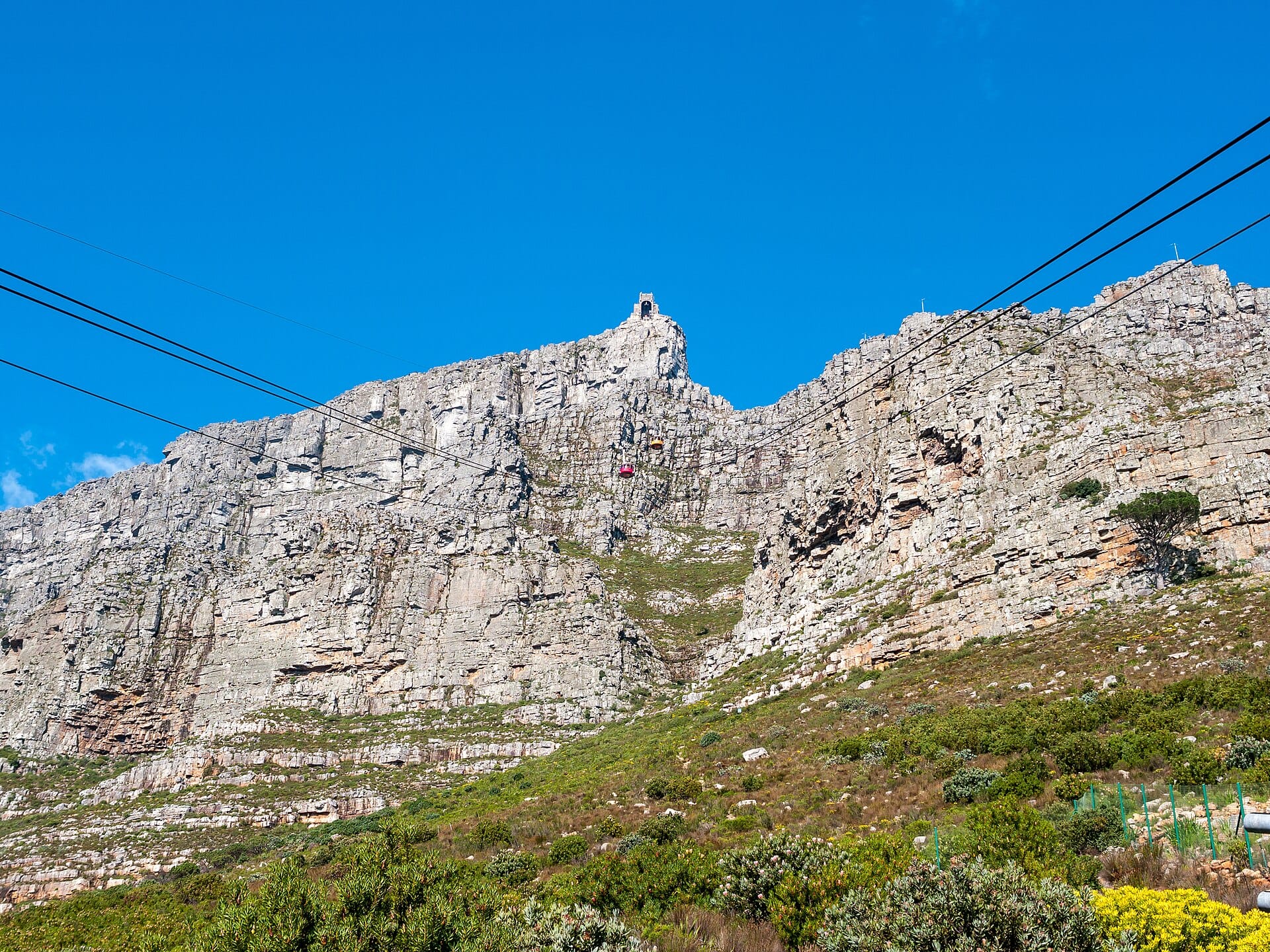
Table Mountain
Cape Town, South Africa · 11km away →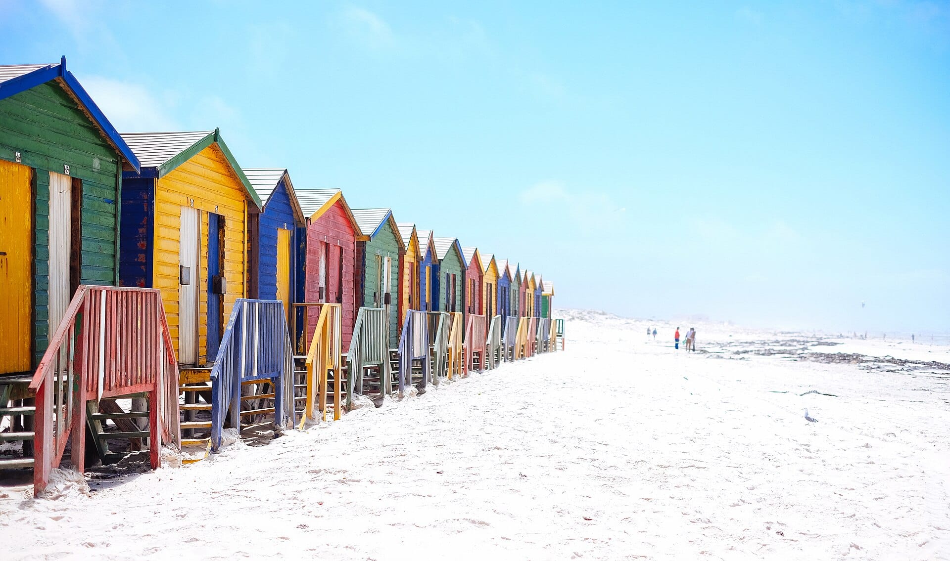
Muizenberg
Cape Town, South Africa · 13km away →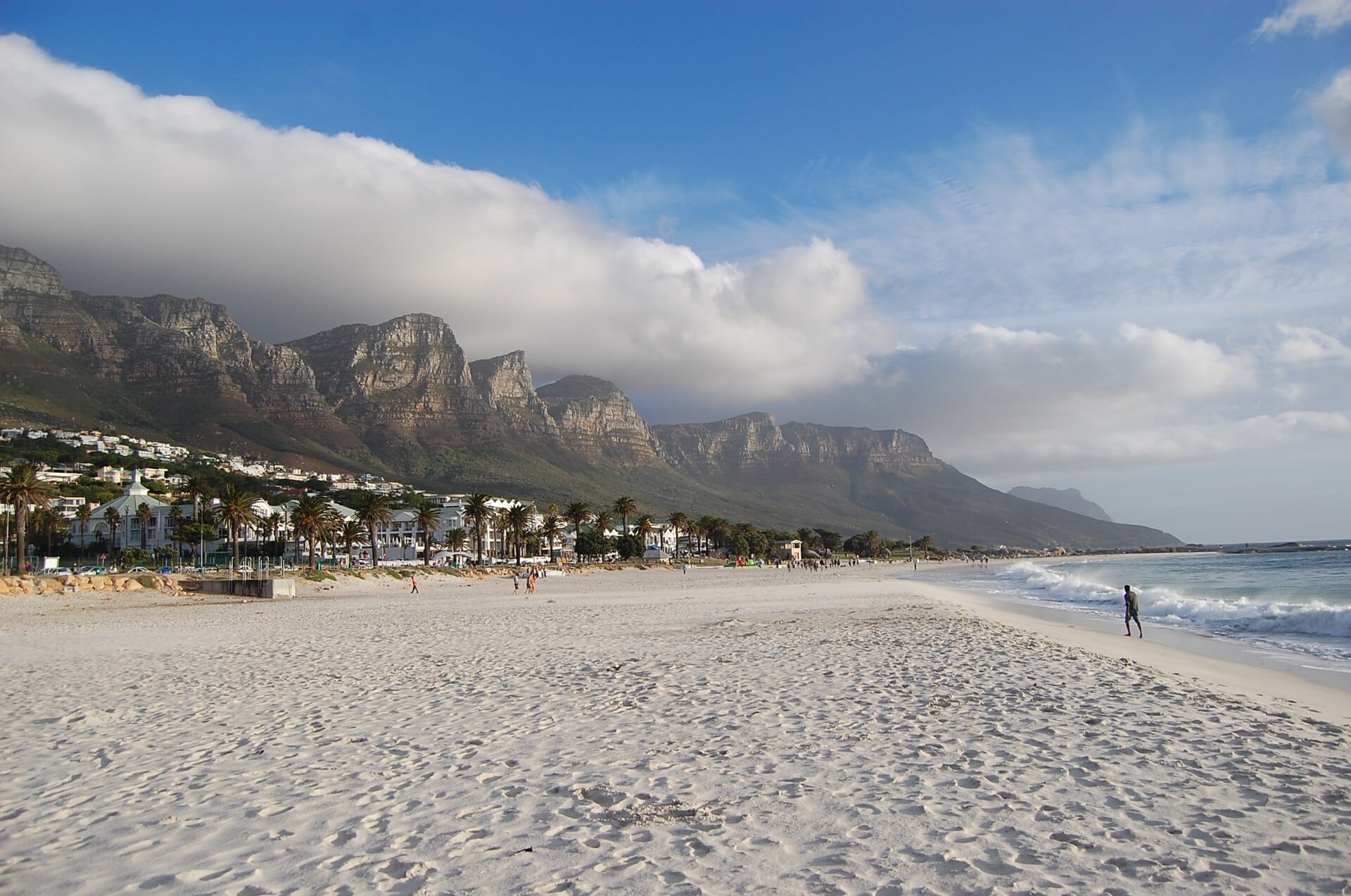
Cape Town
South Africa · 14km away →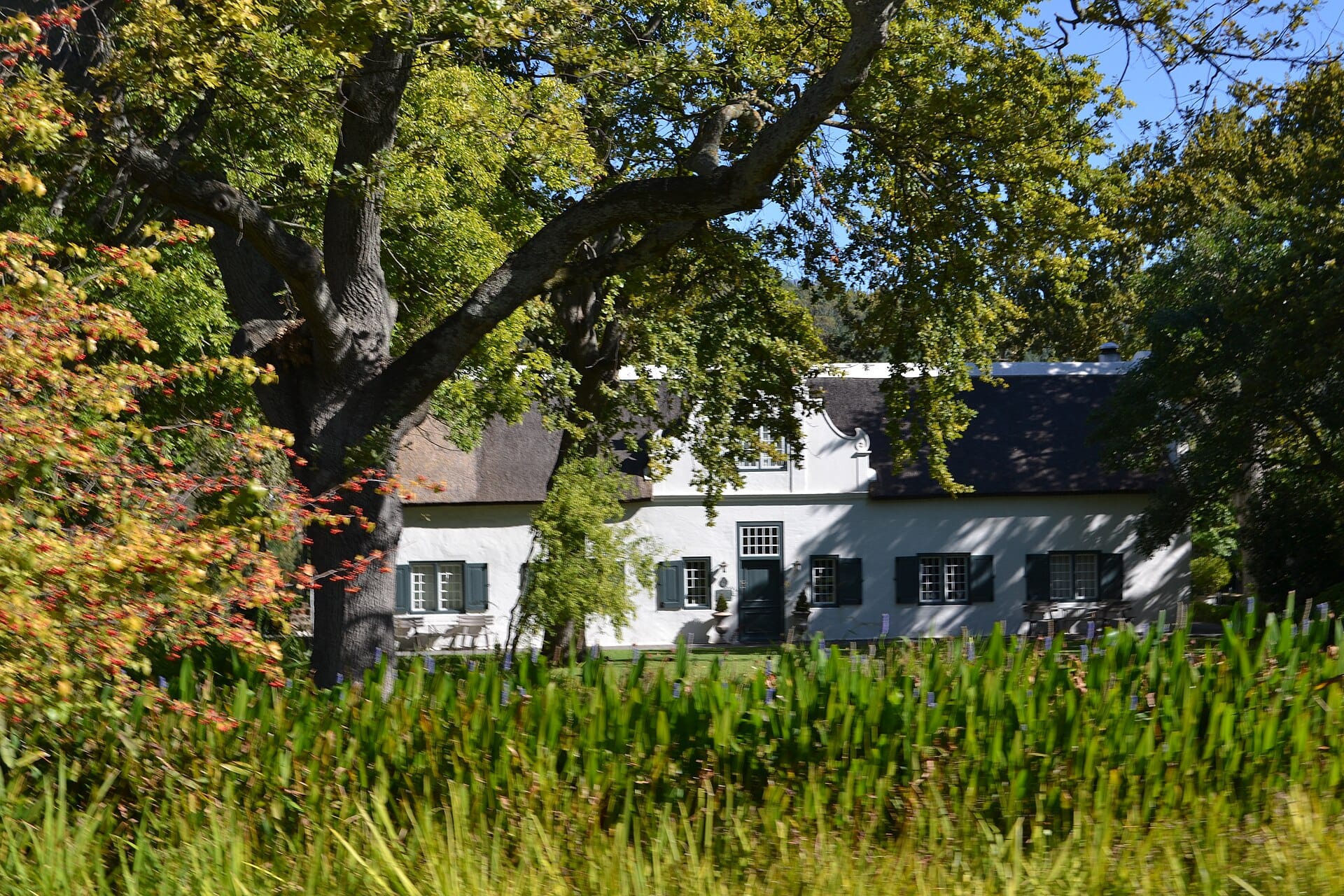
Franschhoek
South Africa · 72km away →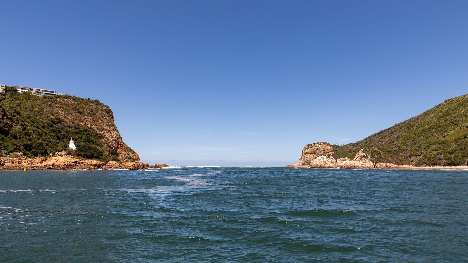
Garden Route
South Africa · 378km away →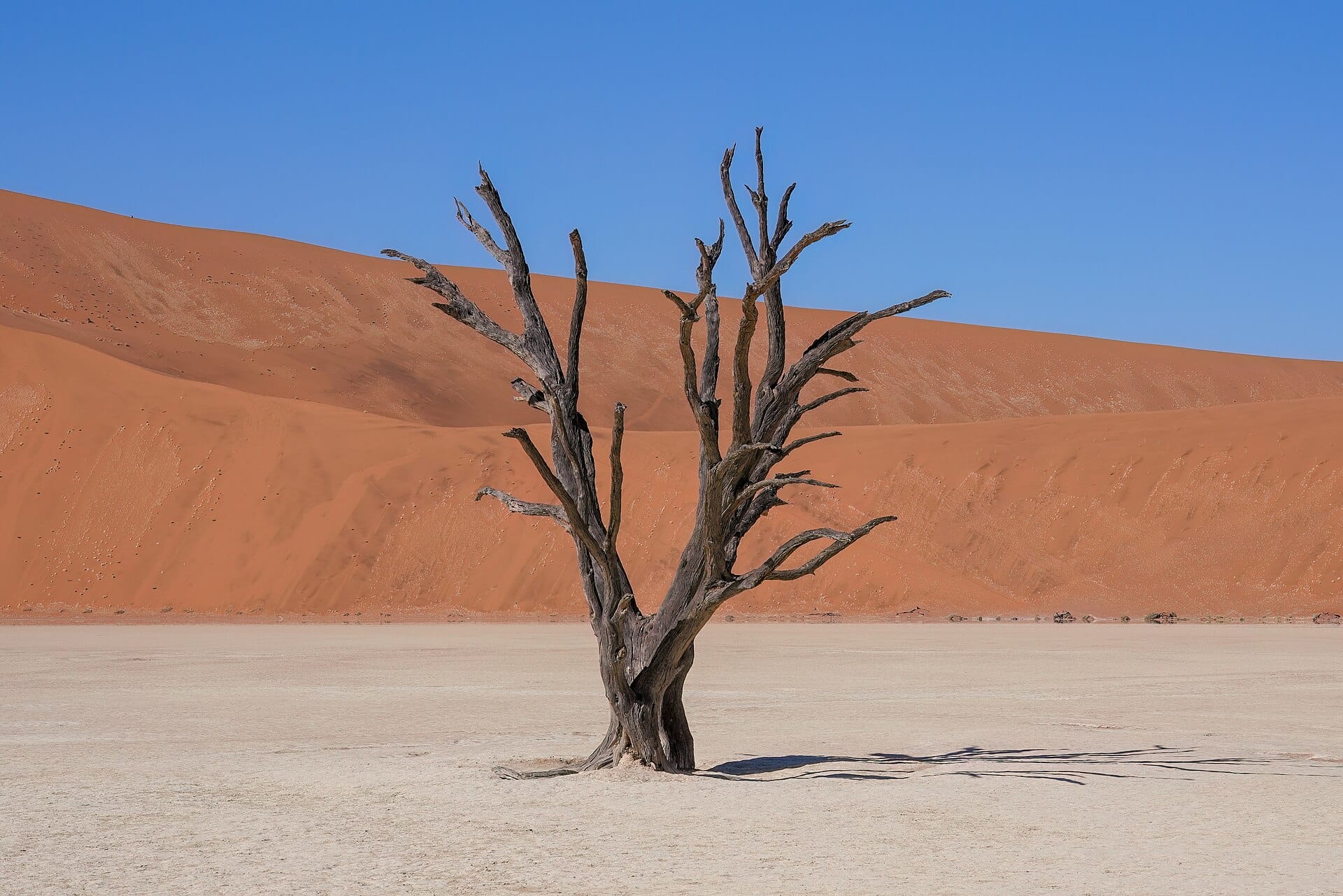
Sossusvlei
Namibia →Elsewhere in South Africa
Related articles
Quick answers
When is the best time to visit Chapman's Peak Drive?
For warm, mostly dry days, December to March. That means highs of 20–34°C with rain on six days a month or fewer. Daytime highs run from about 16°C in July to 22°C in January. Driest November to February; wettest in July, with rain on about 12 days.
How long should I spend in Chapman's Peak Drive?
Our suggestion: a half-day, as part of a peninsula circuit.
How do I get to Chapman's Peak Drive?
About forty minutes by car from Cape Town (CPT), around the mountain through Constantia to Hout Bay at the northern end of the drive.
Do I need a car in Chapman's Peak Drive?
Yes, a car makes a real difference here. None worth the name. Hire a car, join a peninsula tour, or cycle it if you are fit.
What currency and language are used in Chapman's Peak Drive?
Currency: South African rand (ZAR). Language: English, Zulu, Xhosa and Afrikaans. Plugs: type C and M and N.
Who is Chapman's Peak Drive best for?
Best for road-trippers, couples and photographers. In a phrase: cliff-edge, salt-sprayed, cinematic.