
Cares Gorge
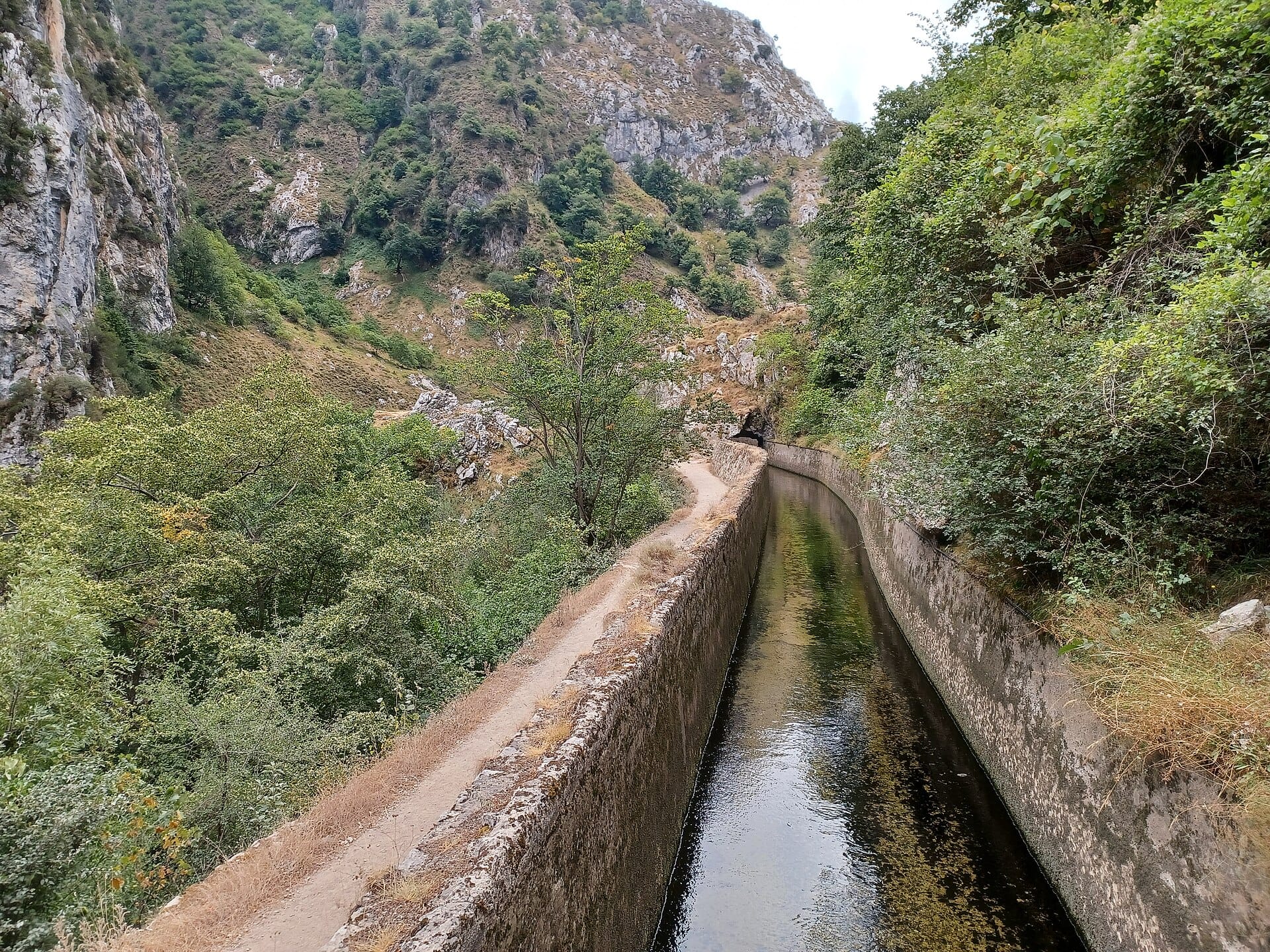
Carved into the wall of a kilometre-deep canyon, the Cares path runs twelve kilometres between Poncebos and Caín through tunnels and along ledges — dramatic to look at, flat and easy to walk.
- Best forWalkers & hikers · Photographers · Wildlife & nature
- In November5°C · 16 rainy days
- Ideal stay3–4 nights
- Approx. flying time~11h 20m from Los Angeles
- CurrencyEUREuro
- LanguageSpanish
- Local time14:101h ahead of the UK
- PlugsType C / FBring an adapter
- Drive on theRightOpposite to the UK
- Dialling code+34
Why go
The Río Cares has cut a chasm through limestone so deep that the sun reaches the water for only a few hours a day, and a maintenance path for a hydroelectric channel now runs along its wall. That path is the walk: 12 kilometres each way between Poncebos in Asturias and Caín in León, almost level, occasionally exposed, and spectacular for most of its length. Griffon vultures circle overhead; chamois pick their way across the opposite face.
Nobody has to walk the full 24 kilometres. Start from either end, go as far as the legs allow and turn back, ideally reaching the middle section where the walls close in tightest. Spring and autumn are best, since the gorge traps summer heat and winter brings rockfall closures. The surrounding villages make good bases for a longer stay in a range where cheese, cider and much harder mountain days are all on offer.
- Ideal stay
- 3–4 nights
- The vibe
- Vertical, green, bracing, unshowy
From our guides
Turn around wherever suits your legs; the scenery peaks in the middle third. Mountain goats supervise. Spring and autumn beat the fierce summer heat of northern Spain's surprising wild corner.
Featured in Ten spectacular mountain walks for ordinary fitness levels
Things to do
-
The Poncebos start
The Asturian end begins with a steady climb before levelling out. Going this way puts the most dramatic middle third at the halfway point of a there-and-back walk.
-
Caín
The Leonese trailhead sits in a bowl of vertical rock at the end of a road, with a reservoir, a bridge and the narrowest, most tunnelled stretch of path immediately north.
-
Bulnes funicular
A railway bored through the mountain carries you up to a village with no road access. From there, paths climb towards views of the range's most famous peak.
-
Naranjo de Bulnes
The orange limestone tower properly called Picu Urriellu is the emblem of the Picos, and the object of a long day's walk from Sotres for those who want it.
-
Lakes of Covadonga
On the western massif, glacial lakes sit high on grazing pasture above a basilica. Access is by shuttle bus in peak season, which keeps the road sane.
-
Cabrales cheese
The blue cheese matured in caves around Arenas de Cabrales is fierce, and best met with a glass of Asturian cider poured from a height. Caves can be visited.
Getting there
-
Fly to
Ranón (OVD)
Nearest airport to Picos de Europa, about 106km away as the crow flies.
-
Then
To Arenas de Cabrales
About an hour and three quarters by car from Santander (SDR), west on the A8 and then inland to Arenas de Cabrales. Asturias airport at Oviedo is a similar drive from the other side.
-
On the ground
Getting around
Drive the narrow road from Arenas to Poncebos, where the path starts, and walk as far along the ledge as your legs fancy before turning back. In high summer the Poncebos car park fills early, so start at dawn.
Public transport: Buses run along the coast and up to Arenas de Cabrales in summer, with a limited shuttle to Poncebos, but the service is thin out of season.
Flights
Los Angeles Picos de Europa, Spain
Fly from anywhere — search 4,000+ airports worldwide.
Roughly 11h 20m in the air from Los Angeles (LAX), estimated from the distance — check for a direct route. Pick a month to see every available flight with live prices.
Check dates and prices
Pick your departure date, then your return.
Search flightsNot sure when? Compare fares across a whole month.
Flight times are estimates; prices open on Google Flights.
When to go
Daytime highs run from about 1°C in January to 14°C in August. Driest in February; wettest in June, with rain on about 22 days.
The year at a glance — pick a month for detail
November5° · rain 16 daysCold and often wet.
Monthly figures averaged from daily records for 2020–2024 at this location (ERA5 reanalysis). Live conditions from MET Norway, CC BY 4.0.
Where to stay
Small mountain hotels, casas rurales and apartments in the villages, refuges up in the hills, and a few campsites. No resorts and very little chain accommodation.
-
Best base overall
Arenas de Cabrales
The main village on the northern approach, with hotels, cider houses and the famous blue cheese, ten minutes from the Poncebos trailhead. It sits on a through road, so ask for a quiet room.
Find stays in Arenas de Cabrales -
Closest to the sights
Poncebos
Right at the start of the path and the funicular to Bulnes, which means walking before the crowds arrive. There are only a couple of places to stay and nothing else at all.
Find stays in Poncebos -
Best with children
Cangas de Onis
A larger town with the Roman bridge, plenty of restaurants and easy trips to the Covadonga lakes. It is forty minutes from the gorge, so expect an early start.
Find stays in Cangas de Onis -
Quietest
Posada de Valdeon
The southern end of the route, in a high mountain valley on the Leon side, calm and traditional. It is a long drive round the range from the northern villages.
Find stays in Posada de Valdeon
Worth knowing before you book: August fills the villages and the Poncebos car park overflows by mid-morning, with shuttle buses on the busiest days. Many rural houses ask for two nights minimum.
Search everything else in Arenas de Cabrales by budget. These are indicative budget bands in GBP per night for two people, not live quotes or guarantees of hotel type. Check your dates, guests, taxes and final price on Booking.com.
Good to know
- Exposure
- The path is wide enough but drops away sharply, with no railing for long stretches. Anyone badly affected by heights should think carefully.
- Water and shade
- There is no water on the route and very little shade in the middle. Carry at least two litres per person in warm months.
- Timing
- Start early. Car parks at both ends fill by mid-morning in summer and at weekends, and the gorge is hottest between noon and four.
- One way
- Walking end to end means a long road transfer back, since the drive between Poncebos and Caín takes several hours around the massif.
- Weather
- This is northern Spain and it rains. Rock can be slippery, and the route occasionally closes after storms, so check the status before setting off.
Similar places
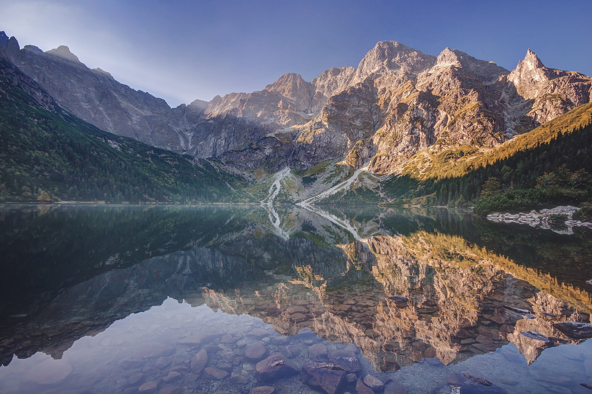
Morskie Oko
Tatras, PolandAlso for walkers & hikers and photographers · 2°C in November (5°C here) · cheaper to stay
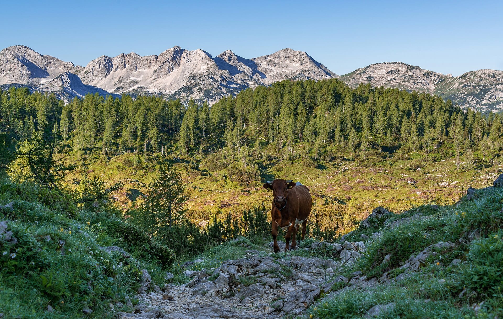
Triglav National Park
SloveniaAlso for walkers & hikers and wildlife & nature · 2°C in November (5°C here)
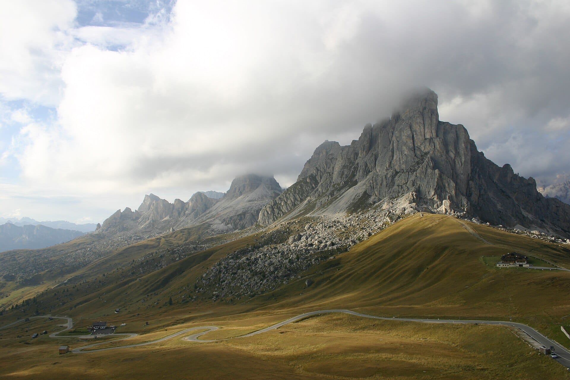
Passo Giau
Dolomites, ItalyAlso for walkers & hikers and photographers · 1°C in November (5°C here)
Nearby destinations
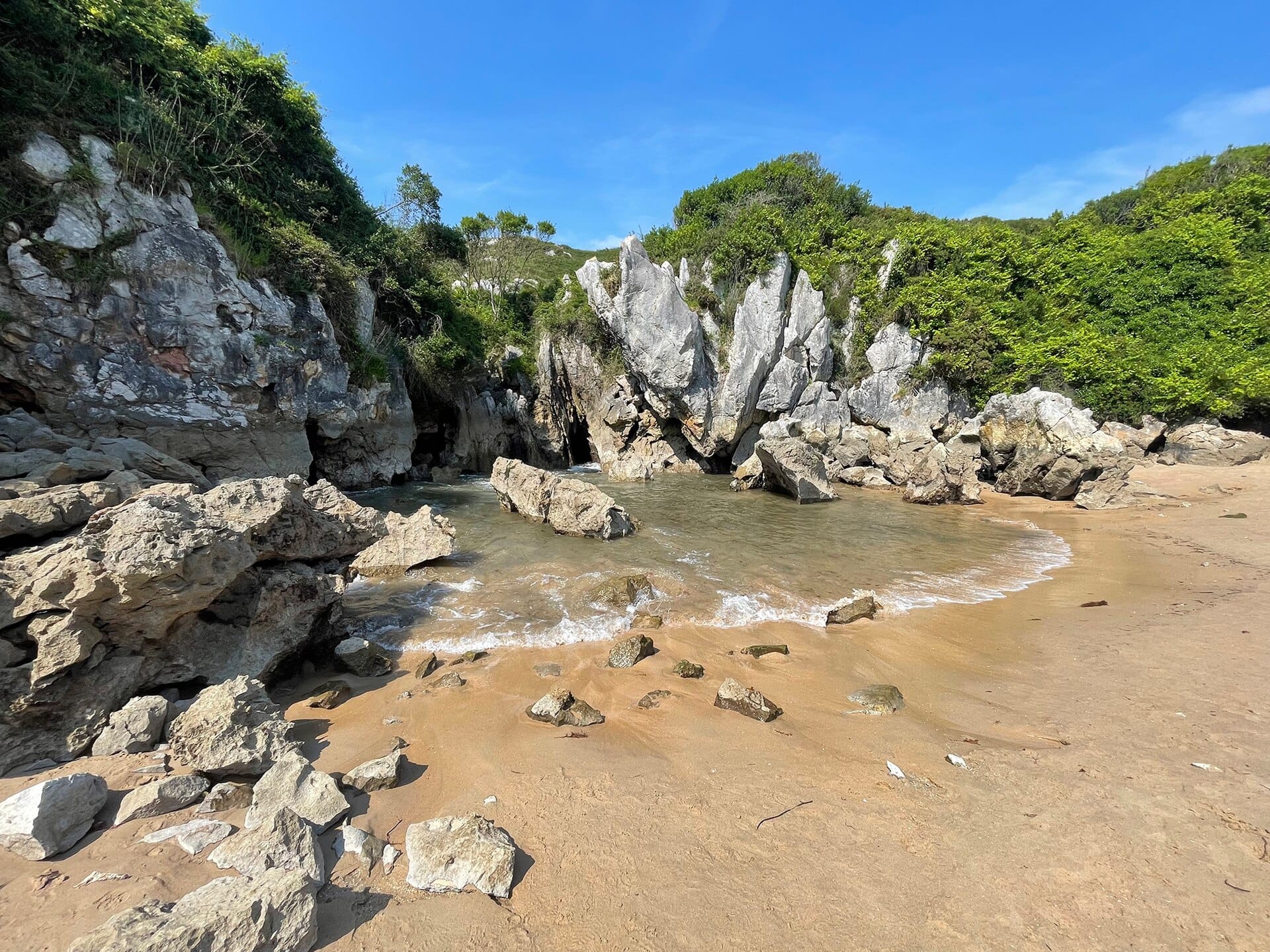
Playa de Gulpiyuri
Asturias, Spain · 29km away →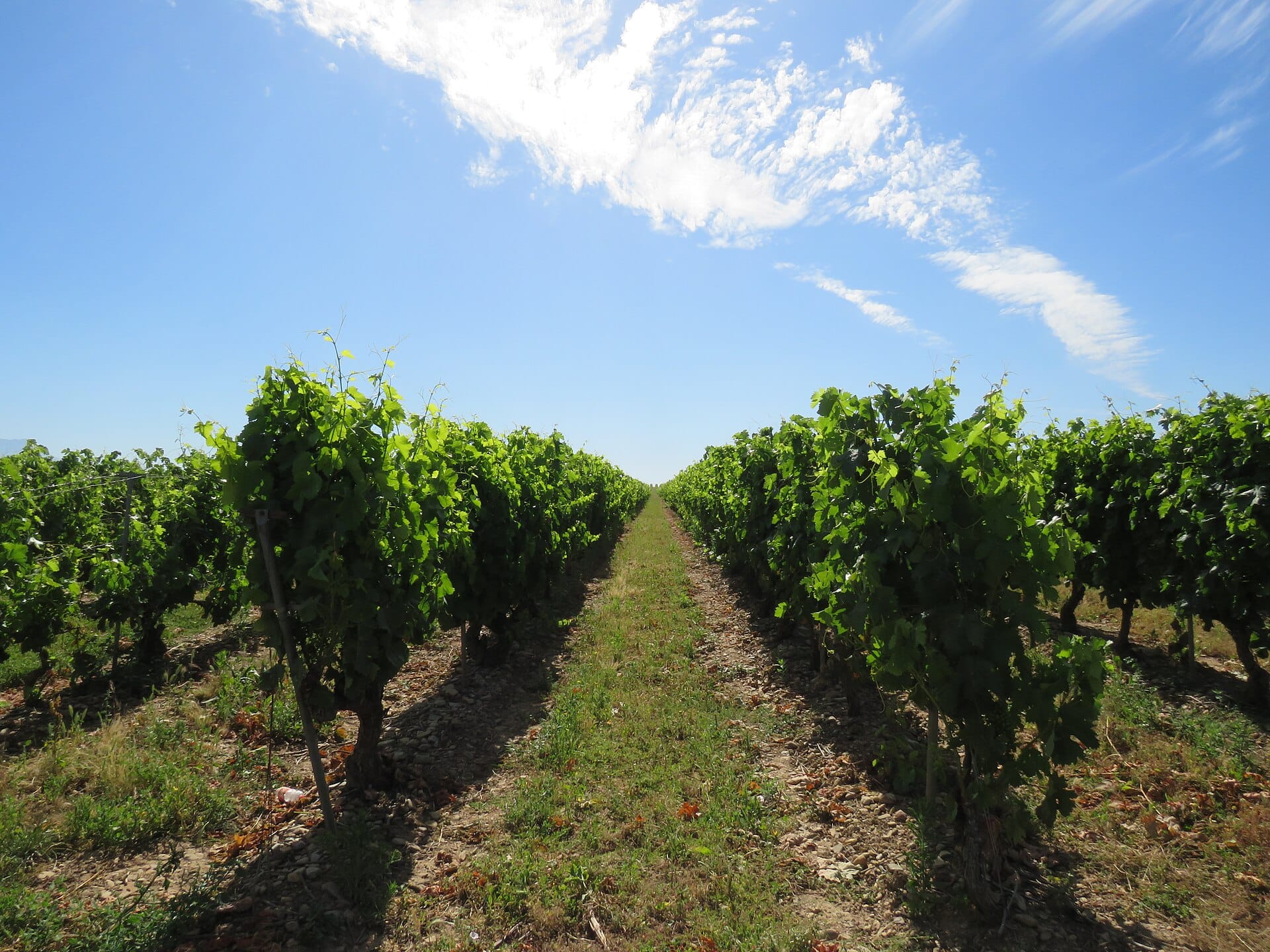
La Rioja
Spain · 217km away →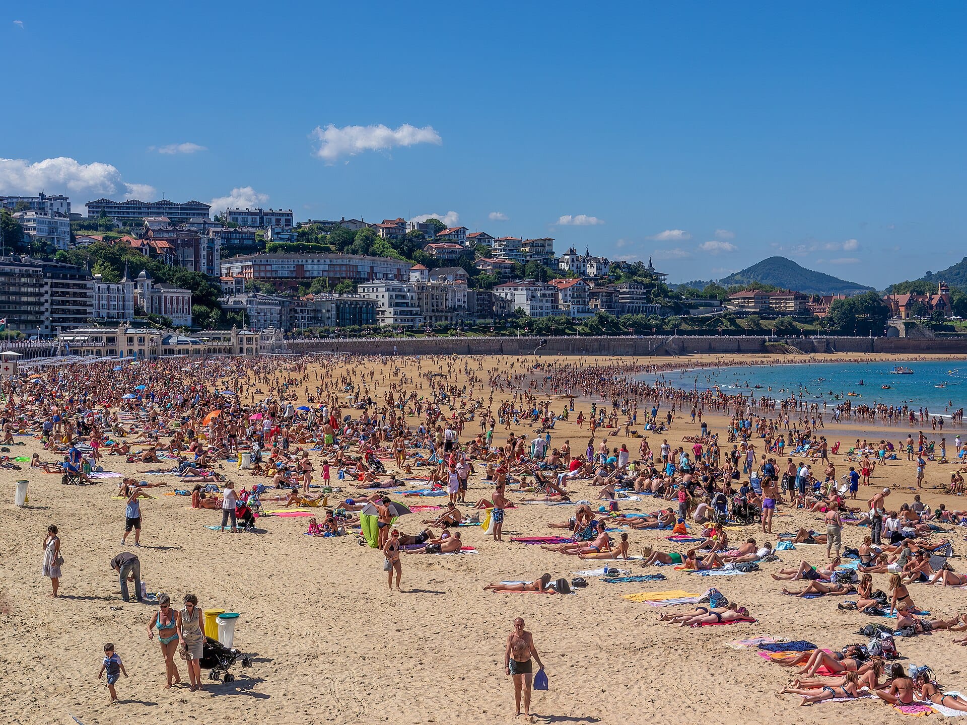
San Sebastián
Spain · 231km away →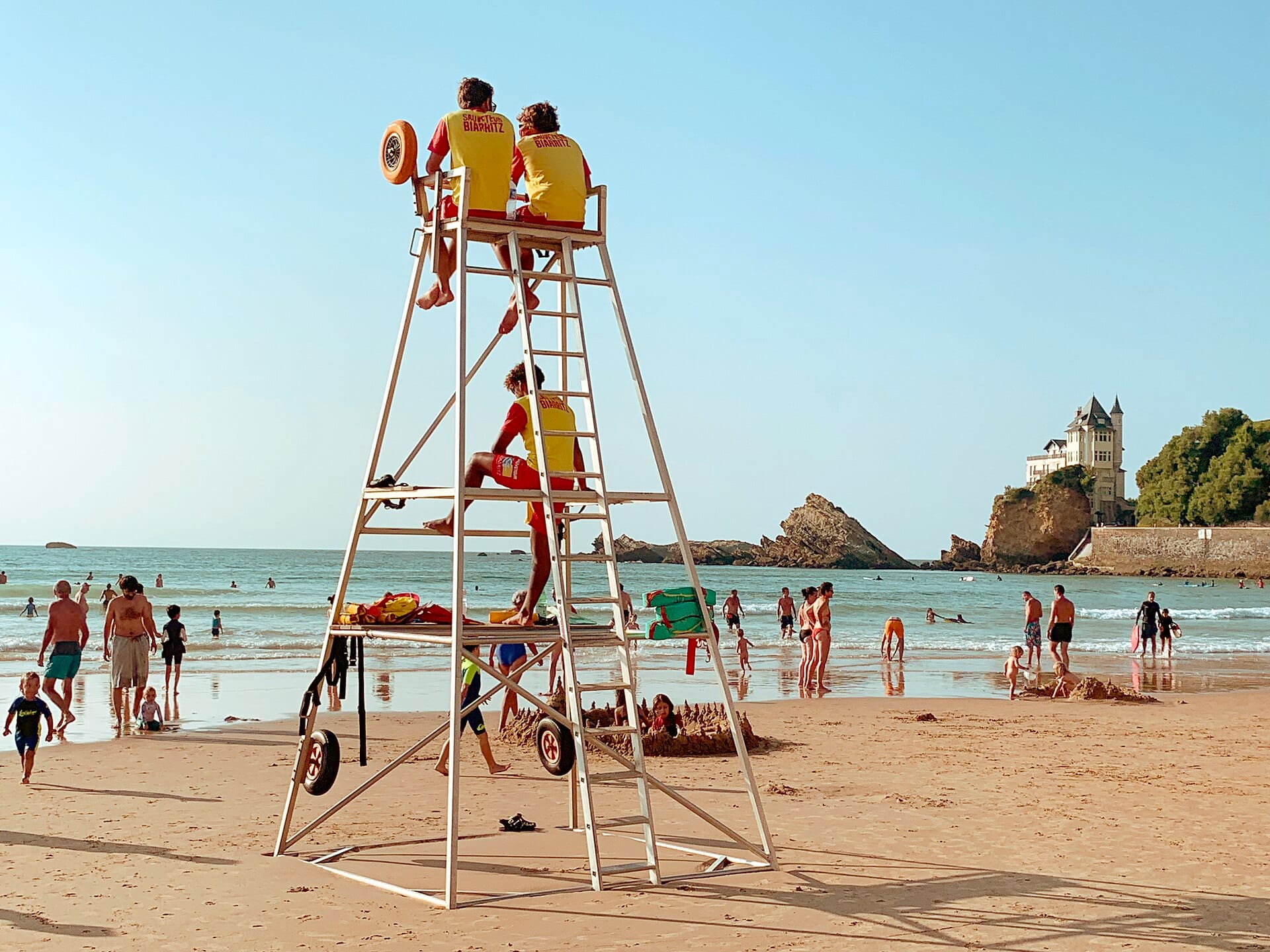
Côte des Basques
Biarritz, France · 266km away →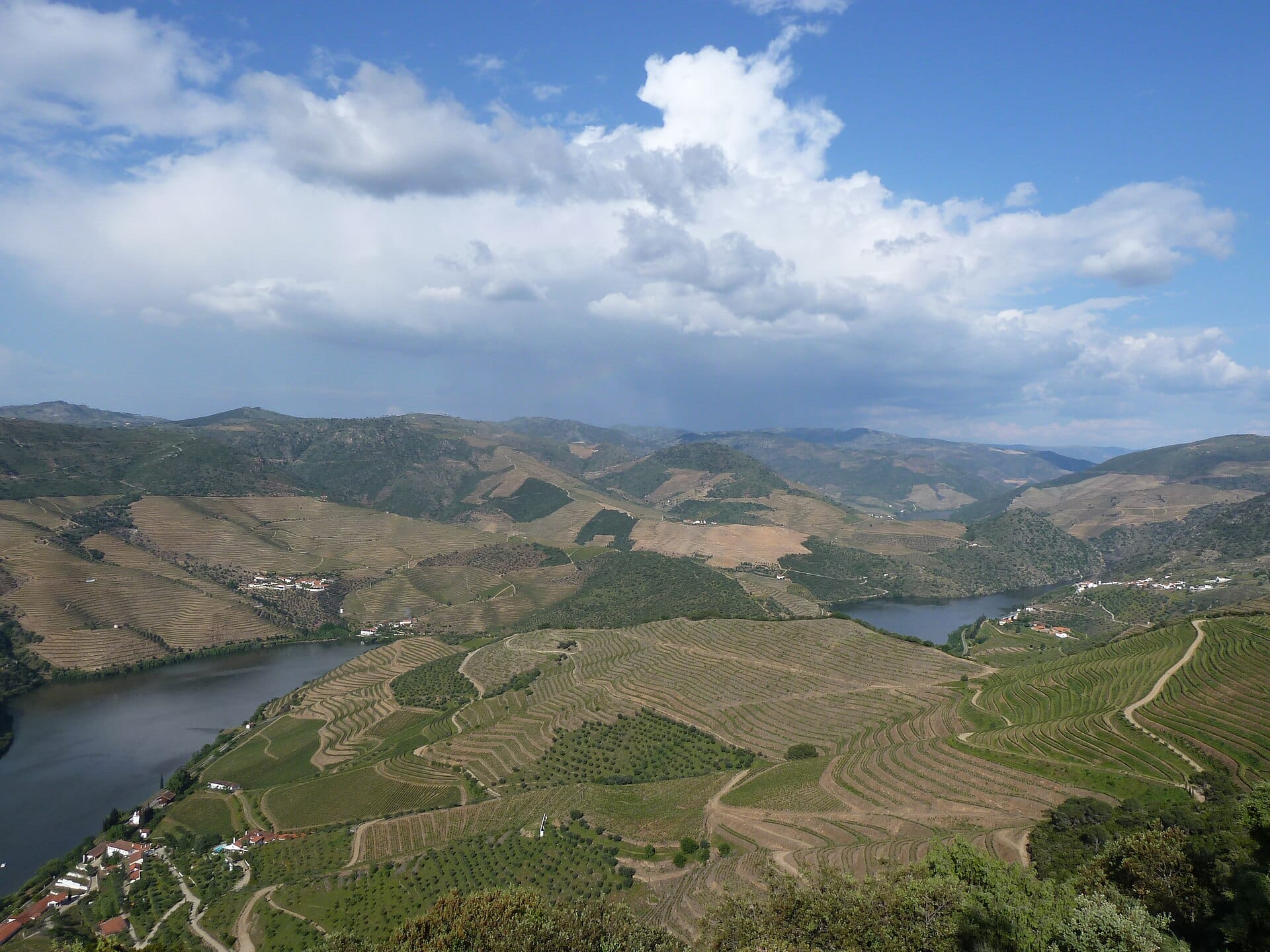
Douro Valley
Portugal · 319km away →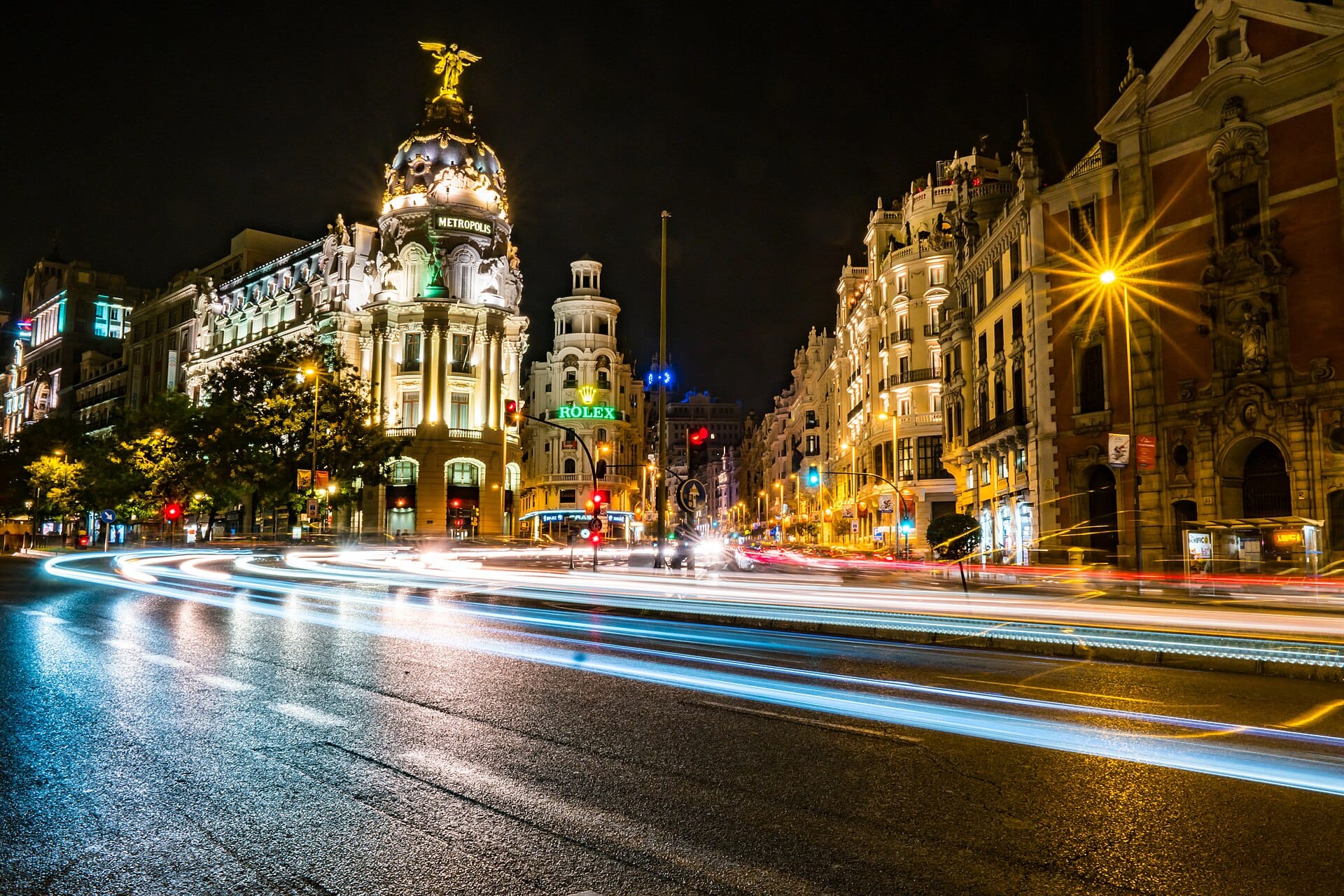
Madrid
Spain · 322km away →Elsewhere in Spain
Related articles
Quick answers
When is the best time to visit Cares Gorge?
Daytime highs run from about 1°C in January to 14°C in August. Driest in February; wettest in June, with rain on about 22 days.
How long should I spend in Cares Gorge?
Our suggestion: 3–4 nights.
How do I get to Cares Gorge?
About an hour and three quarters by car from Santander (SDR), west on the A8 and then inland to Arenas de Cabrales. Asturias airport at Oviedo is a similar drive from the other side.
Do I need a car in Cares Gorge?
Yes, a car makes a real difference here. Buses run along the coast and up to Arenas de Cabrales in summer, with a limited shuttle to Poncebos, but the service is thin out of season.
What currency and language are used in Cares Gorge?
Currency: Euro (EUR). Language: Spanish. Plugs: type C and F.
Who is Cares Gorge best for?
Best for walkers & hikers, photographers and wildlife & nature. In a phrase: vertical, green, bracing, unshowy.