
Bealach na Bà
Britain's answer to the Alps is a single-track road over the Applecross peninsula, rising from sea level to 626 metres through gradients of twenty per cent and hairpins with genuine consequences.
- Best forRoad-trippers · Photographers · Couples
- In June13°C · 18 rainy days
- Ideal stay2–3 nights on the peninsula
- Approx. flying time~10h 15m from Los Angeles
- CurrencyGBPPound sterling
- LanguageEnglish
- Local time13:09same time as the UK
- PlugsType GUK plugs fit
- Drive on theLeftSame as the UK
- Dialling code+44
Why go
A single-track road climbs from sea level to 626 metres over the Applecross peninsula, through gradients touching twenty per cent and a series of hairpins with no barriers and real consequences. It is the most alpine stretch of tarmac in Britain, built as a drovers' route and never softened. On a clear day the summit looks west to Skye and the Torridon peaks stack up behind.
This is a half-day, usually taken as part of a wider Highlands loop or the North Coast 500. Base for two or three nights in Applecross, Shieldaig or Torridon rather than driving it and leaving. May and September give long light, quiet roads and fewer midges. Winter brings snow gates and closures, and the pass is genuinely unsuitable for caravans, large campervans and nervous drivers.
- Ideal stay
- 2–3 nights on the peninsula
- The vibe
- Wild, exposed, gloriously severe
From our guides
The Bealach na Bà — Pass of the Cattle — hairpins up to 626 metres like an Alpine col that got lost in the Highlands, then drops to the whitewashed village of Applecross facing Skye across the water. It's the most dramatic single stretch of the North Coast 500. Eat langoustines at the Applecross Inn, watch the sun set behind the Cuillin, and go in May or September — midge-light, road quiet, light ridiculous.
Featured in Ten jaw-dropping mountain roads and passes to drive and Ten coastal drives for a honeymoon on wheels
Things to do
-
The summit viewpoint
A short walk from the car park at the top opens a panorama across the Inner Sound to Raasay, Skye and the Cuillin ridge. Cloud wins more often than not.
-
The hairpins
Three tight switchbacks near the top with steep drops and no barrier, cut through a corrie wall. Slow, deliberate driving and generous use of passing places.
-
Applecross village
A whitewashed row facing Skye across the water, with a beach, a campsite and a walled garden. The obvious place to stop, eat and watch the sun go down.
-
The coast road north
The alternative route out, running via Kenmore and Shieldaig with sea lochs, otters and views to Torridon. Longer, gentler and arguably more beautiful.
-
Sand beach
A pale, wide bay north of Applecross with an easy walk in, looking over to Raasay. Good for a swim if you have the constitution for Scottish sea temperatures.
-
Torridon mountains
Just east, the sandstone bulk of Liathach and Beinn Eighe give some of Britain's most serious hillwalking, with a shoreline road for those who prefer to look.
Getting there
-
Fly to
Inverness (INV)
Nearest airport to Bealach na Bà, about 98km away as the crow flies.
-
Then
To Applecross
Inverness is the practical gateway, about three hours by car west through Achnasheen and Lochcarron. Flying to Stornoway (SYY) means a ferry crossing and a long drive, so few do it that way.
-
On the ground
Getting around
The pass itself is a single-track road with passing places, twenty per cent gradients and blind hairpins, dropping to Applecross village and its inn on the far side. Not for caravans, and best avoided in ice or thick cloud.
Public transport: A sparse local bus reaches Applecross a few times a week in summer; there is no meaningful service over the pass.
Flights
Los Angeles Bealach na Bà, Scotland
Fly from anywhere — search 4,000+ airports worldwide.
Roughly 10h 15m in the air from Los Angeles (LAX), estimated from the distance — check for a direct route. Pick a month to see every available flight with live prices.
Check dates and prices
Pick your departure date, then your return.
Search flightsNot sure when? Compare fares across a whole month.
Flight times are estimates; prices open on Google Flights.
When to go
Daytime highs run from about 4°C in January to 14°C in August. Driest in April; wettest in January, with rain on about 26 days.
The year at a glance — pick a month for detail
June13° · rain 18 daysCool and often wet.
Monthly figures averaged from daily records for 2020–2024 at this location (ERA5 reanalysis). Live conditions from MET Norway, CC BY 4.0.
Where to stay
Small inns, B&Bs, self-catering cottages and a couple of campsites. No hotels of any size, no chains, and dinner usually needs booking the day before.
-
Best base overall
Applecross
The whitewashed village at the far end of the pass, facing Skye, with the inn and a campsite. Very few beds, so book far ahead, and mobile signal is essentially absent.
Find stays in Applecross -
Best value
Lochcarron
On the mainland side before the climb, with B&Bs, a shop and a petrol station. A long strung-out village, and you drive the pass as a day trip.
Find stays in Lochcarron -
Quietest
Shieldaig and Torridon
North on the coast road, with a handful of inns beneath spectacular mountains. Remote, with limited dining and long drives to anywhere else.
Find stays in Shieldaig and Torridon -
Best with children
Kyle of Lochalsh and Plockton
Forty minutes south, with more accommodation, boat trips, shops and the Skye bridge. Less atmospheric, but far easier if you need supplies and options.
Find stays in Kyle of Lochalsh and Plockton
Worth knowing before you book: Beds on this stretch of the North Coast 500 sell out from May to September, often months ahead. Fill up with fuel before the pass, and do not attempt it towing anything.
Search everything else in Applecross by budget. These are indicative budget bands in GBP per night for two people, not live quotes or guarantees of hotel type. Check your dates, guests, taxes and final price on Booking.com.
Good to know
- Passing places
- They are for passing and letting faster traffic through, never for parking or photographs. Local drivers use this road daily and patience runs out quickly.
- Vehicles
- Caravans and large motorhomes are strongly advised against and signed as such. Take the coast road via Shieldaig instead, which is longer but far more forgiving.
- Weather
- The summit makes its own conditions and can be in cloud when the coast is clear. Snow closes the pass in winter, with signs at both ends.
- Fuel and signal
- Filling stations are scarce and mobile coverage is patchy to nonexistent on the pass. Fill up in Lochcarron and download maps before setting off.
- Midges
- From June to August, still evenings on the west coast belong to midges. Repellent and a head net make the difference between a nice sunset and none.
Similar places
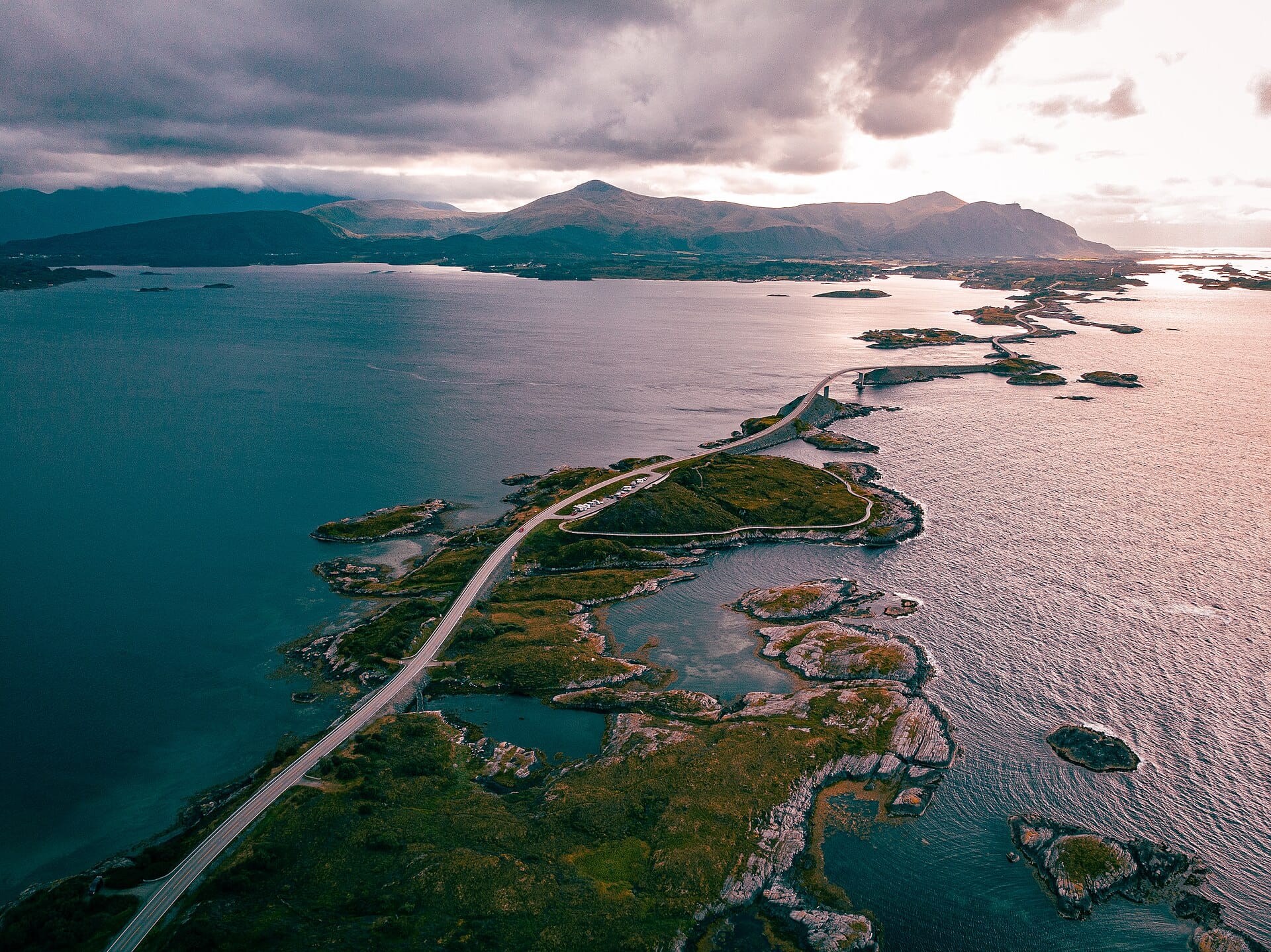
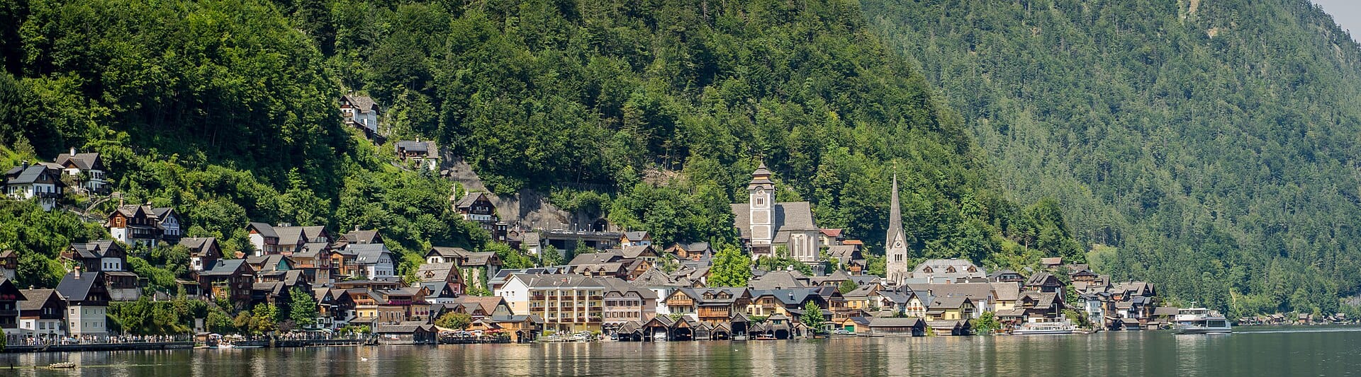
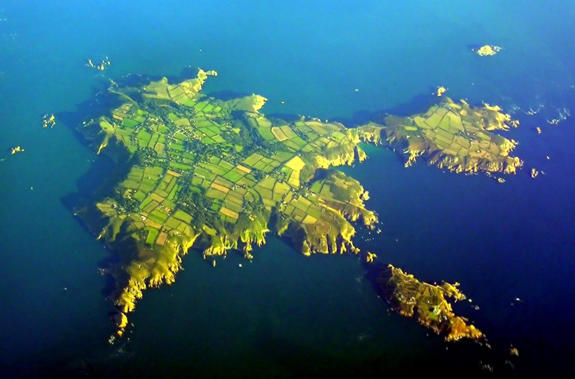
Nearby destinations
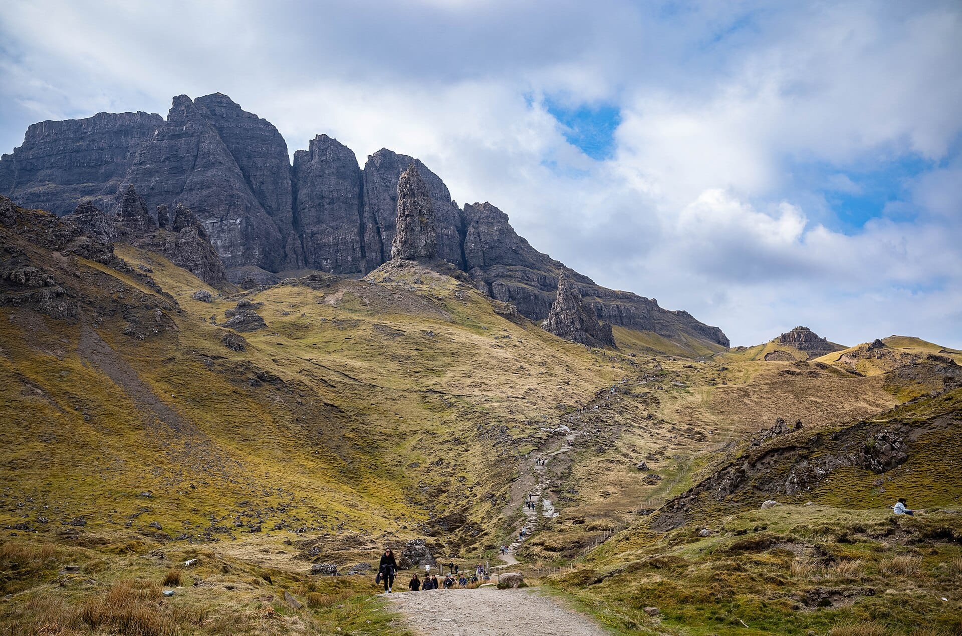
Old Man of Storr
Isle of Skye, Scotland · 32km away →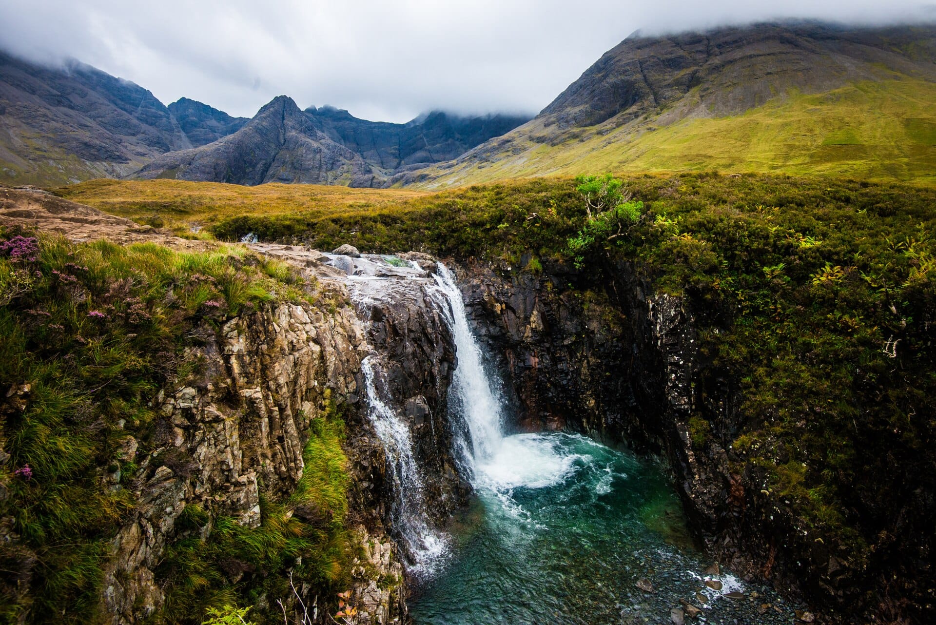
The Fairy Pools
Isle of Skye, Scotland · 38km away →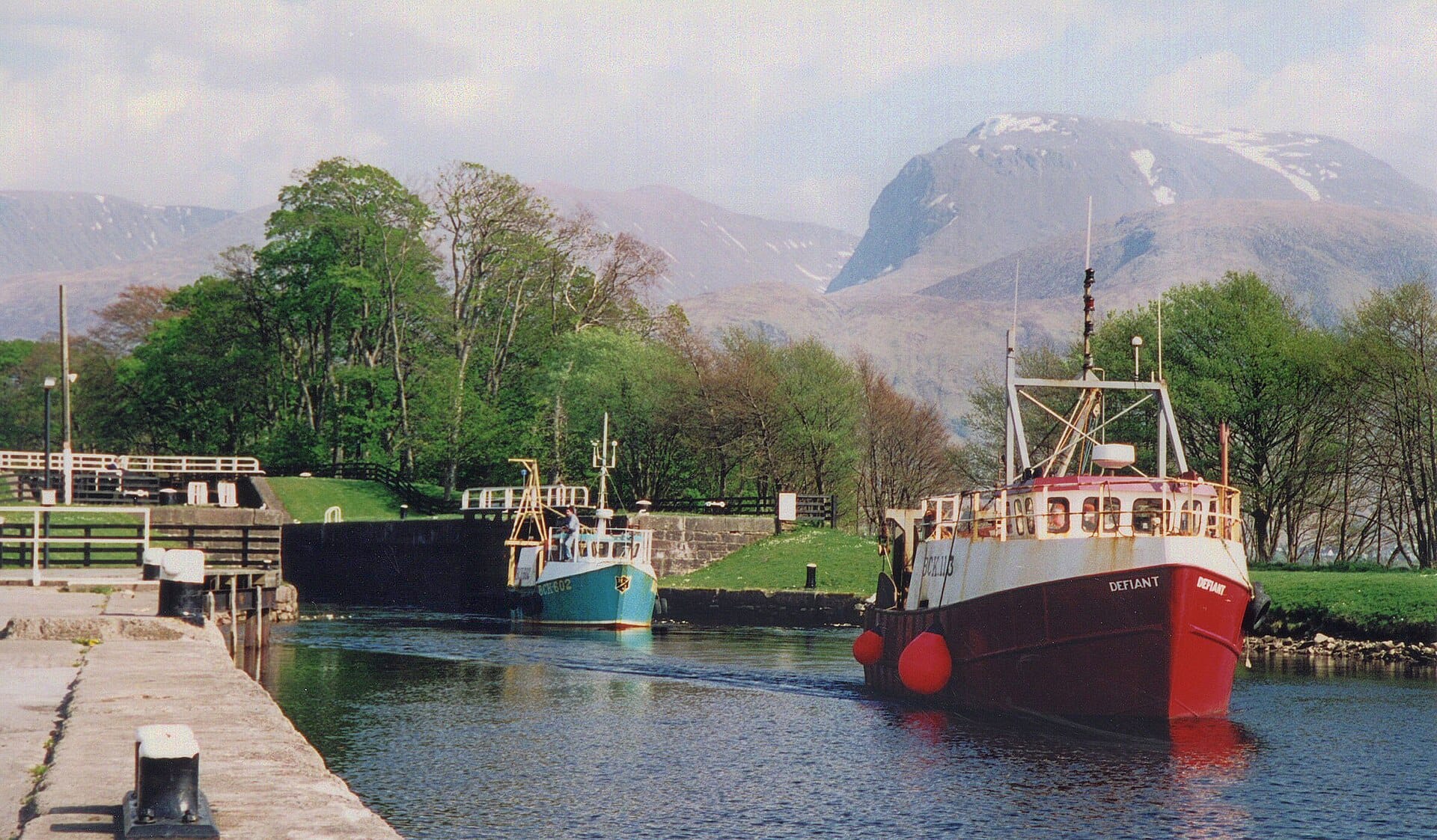
Ben Nevis
Scotland · 79km away →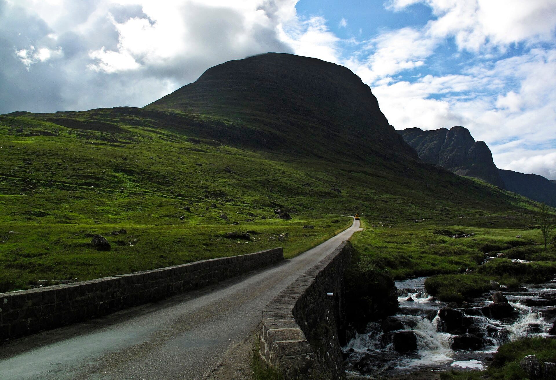
North Coast 500
Scotland · 86km away →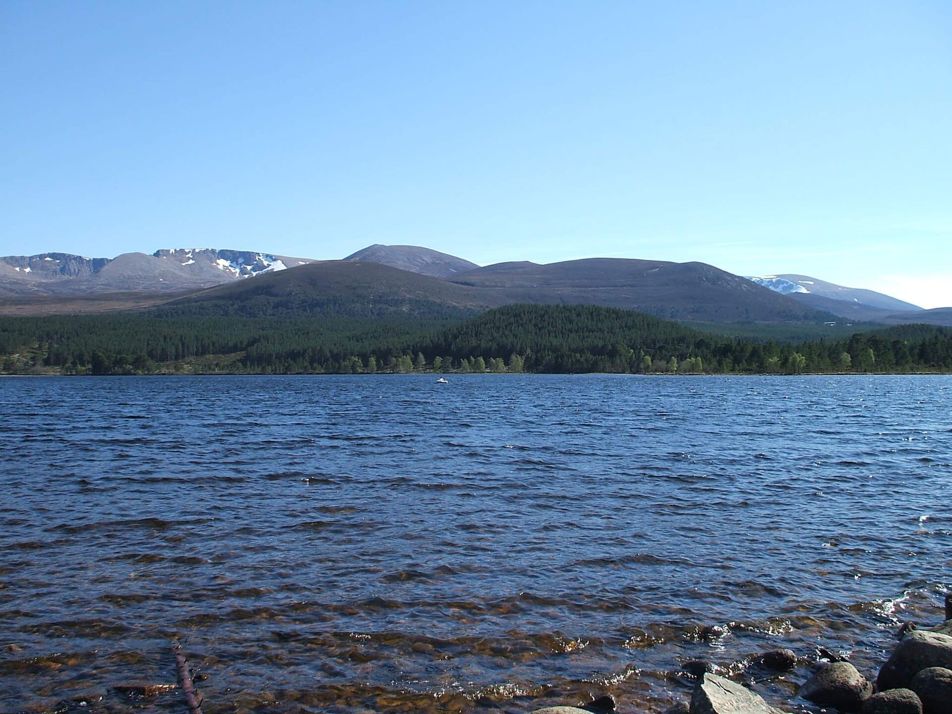
Cairngorms
Scotland · 130km away →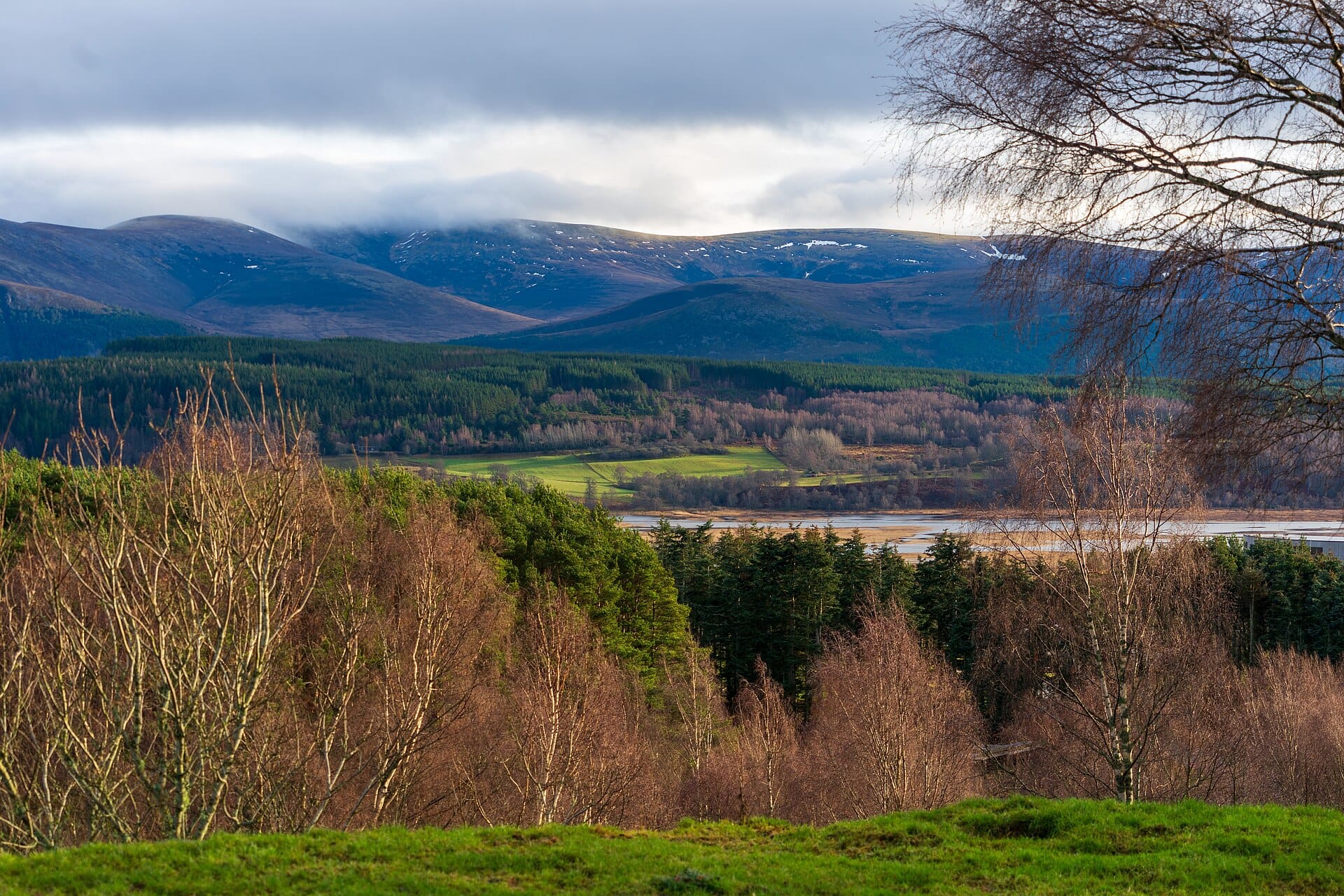
Red squirrels and ospreys
the Cairngorms, Scotland · 137km away →Elsewhere in Scotland
Related articles
Quick answers
When is the best time to visit Bealach na Bà?
Daytime highs run from about 4°C in January to 14°C in August. Driest in April; wettest in January, with rain on about 26 days.
How long should I spend in Bealach na Bà?
Our suggestion: 2–3 nights on the peninsula.
How do I get to Bealach na Bà?
Inverness is the practical gateway, about three hours by car west through Achnasheen and Lochcarron. Flying to Stornoway (SYY) means a ferry crossing and a long drive, so few do it that way.
Do I need a car in Bealach na Bà?
Yes, a car makes a real difference here. A sparse local bus reaches Applecross a few times a week in summer; there is no meaningful service over the pass.
What currency and language are used in Bealach na Bà?
Currency: Pound sterling (GBP). Language: English. Plugs: type G.
Who is Bealach na Bà best for?
Best for road-trippers, photographers and couples. In a phrase: wild, exposed, gloriously severe.