
The Bernese Oberland
Switzerland's farm-holiday network puts families in wooden chalets on working alpine farms, where cowbells provide the soundtrack and the Lauterbrunnen valley provides seventy-two waterfalls for the view.
- Best forFamilies · Walkers & hikers · Wildlife & nature
- In November10°C · 14 rainy days
- Ideal stayA week
- Approx. flying time~11h 55m from Los Angeles
- CurrencyCHFSwiss franc
- LanguageGerman, French, Italian and Romansh
- Local time13:131h ahead of the UK
- PlugsType C / JBring an adapter
- Drive on theRightOpposite to the UK
- Dialling code+41
Why go
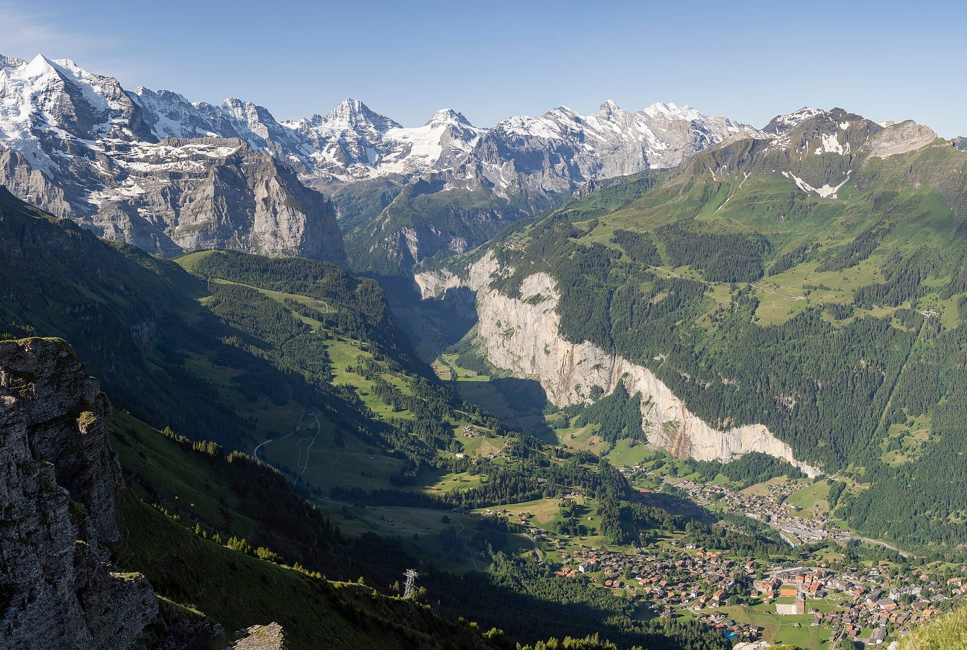
Glaciated peaks stand at the head of deep green valleys, and the whole region is stitched together by trains, funiculars and cable cars that run to the minute. The Lauterbrunnen valley floor is walled by cliffs with waterfalls falling straight off them; above it, car-free villages sit on shelves of meadow. Cowbells, wildflowers and a great deal of vertical distance define ordinary days here.
A week is comfortable, based in one valley and travelling out by rail each morning. Mid-June to September brings wildflowers and open high paths; winter turns the same villages into ski resorts. Costs are Swiss and hard to disguise, though farm apartments and self-catering help considerably. Anyone wanting heat and lake swimming would do better in Ticino.
- Ideal stay
- A week
- The vibe
- Vertical, orderly, meadow-scented
From our guides
Children help with hay and milking; parents help with the cheese board. Trains and cable cars — the real Swiss theme park — replace the car entirely. Costs are Swiss, but farm apartments undercut hotels dramatically. Go in mid-June for wildflower meadows at full volume.
Featured in Ten farm stays and countryside escapes kids genuinely love
Things to do
-
Lauterbrunnen valley
A flat-bottomed trench between cliffs with dozens of waterfalls, including Staubbach falling nearly 300 metres and Trummelbach running inside the rock.
-
Jungfraujoch railway
A cog railway tunnels through the Eiger to Europe's highest railway station at 3,454 metres, with a glacier and ice tunnels at the top.
-
Car-free Murren and Wengen
Two villages reached only by rail or cable car, perched on shelves above the valley, with terraces facing the Eiger, Monch and Jungfrau.
-
Schynige Platte
An old rack railway climbs from Wilderswil to an alpine botanic garden and a ridge walk overlooking both of Interlaken's lakes.
-
Farm stays
Working alpine farms rent apartments under a national farm-holiday scheme, where children help with milking, feeding and haymaking.
-
Lakes Thun and Brienz
Steamers cross both lakes from Interlaken, passing castles and waterfalls and reaching the open-air museum at Ballenberg, where old farm buildings have been reassembled.
Getting there
-
Fly to
Bern (BRN)
Nearest airport to The Bernese Oberland, about 51km away as the crow flies.
-
Then
To Lauterbrunnen
About two hours by train from Bern (BRN), or more usually from Zurich, changing at Interlaken Ost for the valley line to Lauterbrunnen. By car it is roughly an hour and a quarter from Bern.
-
On the ground
Getting around
This is the one corner of the Alps where the car is a liability: mountain railways, cable cars and postbuses reach the farms, villages and viewpoints, and Wengen and Mürren are car-free. A regional travel pass covers most of it.
Public transport: Outstanding. Trains, gondolas and postbuses run to timetable and connect with each other, which is the whole Swiss trick.
Flights
Los Angeles The Bernese Oberland, Switzerland
Fly from anywhere — search 4,000+ airports worldwide.
Roughly 11h 55m in the air from Los Angeles (LAX), estimated from the distance — check for a direct route. Pick a month to see every available flight with live prices.
Check dates and prices
Pick your departure date, then your return.
Search flightsNot sure when? Compare fares across a whole month.
Flight times are estimates; prices open on Google Flights.
When to go
Daytime highs run from about 5°C in January to 23°C in July. Driest February and March and October to December; wettest in May, with rain on about 22 days.
The year at a glance — pick a month for detail
November10° · rain 14 daysCold and often wet.
Monthly figures averaged from daily records for 2015–2024 at Lauterbrunnen (ERA5 reanalysis). Live conditions from MET Norway, CC BY 4.0.
Where to stay
Chalet hotels, farm apartments on working alpine farms, and self-catering flats, with a few grand old hotels on the terraces. Hostels exist and are unusually good.
-
Best base overall
Lauterbrunnen
Valley floor, on the railway, with the waterfalls overhead and trains up to Wengen, Murren and the Jungfrau. It is a thoroughfare, so it can feel busy by day and dead by night.
Find stays in Lauterbrunnen -
Best with children
Grindelwald
More shops, more lifts, the First adventure rides and plenty of family apartments, all under the Eiger. The busiest and generally the priciest of the valley towns.
Find stays in Grindelwald -
Quietest
Wengen or Mürren
Car-free villages on the terraces above the valley, reached only by train or cable car. Wonderfully calm, though every bag and every shopping trip involves a lift.
Find stays in Wengen or Mürren -
Best value
Farm apartments around Gimmelwald and Isenfluh
Working farms renting rooms and flats, sharply cheaper than hotels and with cowbells included. Simple fittings, few restaurants and steep walks to the nearest station.
Find stays in Farm apartments around Gimmelwald and Isenfluh
Worth knowing before you book: Farm apartments run Saturday to Saturday and are booked a year out for summer. Buy the regional travel pass with the room: the trains cost more than you expect.
Search everything else in Lauterbrunnen by budget. These are indicative budget bands in GBP per night for two people, not live quotes or guarantees of hotel type. Check your dates, guests, taxes and final price on Booking.com.
Good to know
- Travel passes
- Regional and national rail passes cover trains, buses, boats and many cable cars, and usually pay for themselves within a few days.
- Costs
- Switzerland is expensive. Self-catering, supermarket picnics and the free tap water at village fountains keep a family trip manageable.
- Weather
- Mountain conditions change fast, and the high railways deserve a clear day. Check the webcams before committing to an expensive ascent.
- With kids
- Many villages run themed walking trails and toboggan runs aimed at children, and pushchairs are carried on most trains and cable cars.
- Timing
- High paths and mountain huts generally open from late June once the snow clears, and close again through October.
Similar places
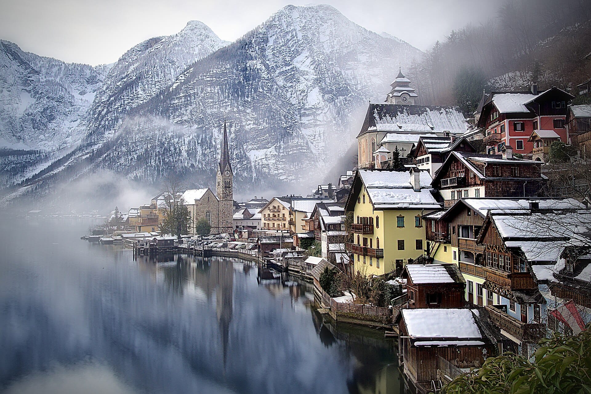
Hallstatt and the Salzkammergut
AustriaAlso for families and walkers & hikers · 9°C in November, as here · cheaper to stay
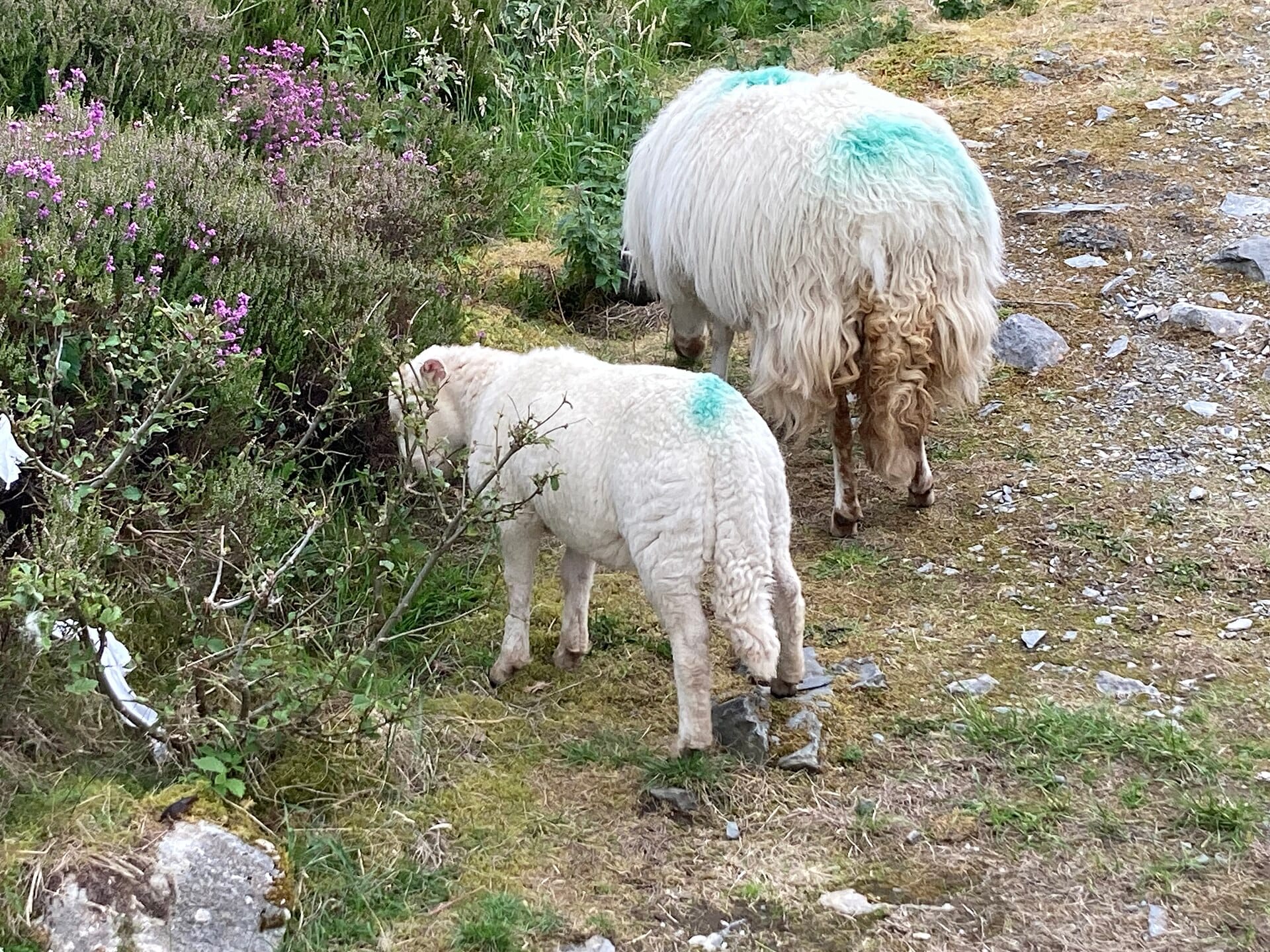
A farm cottage in Snowdonia
WalesAlso for families and walkers & hikers · 10°C in November, as here · cheaper to stay
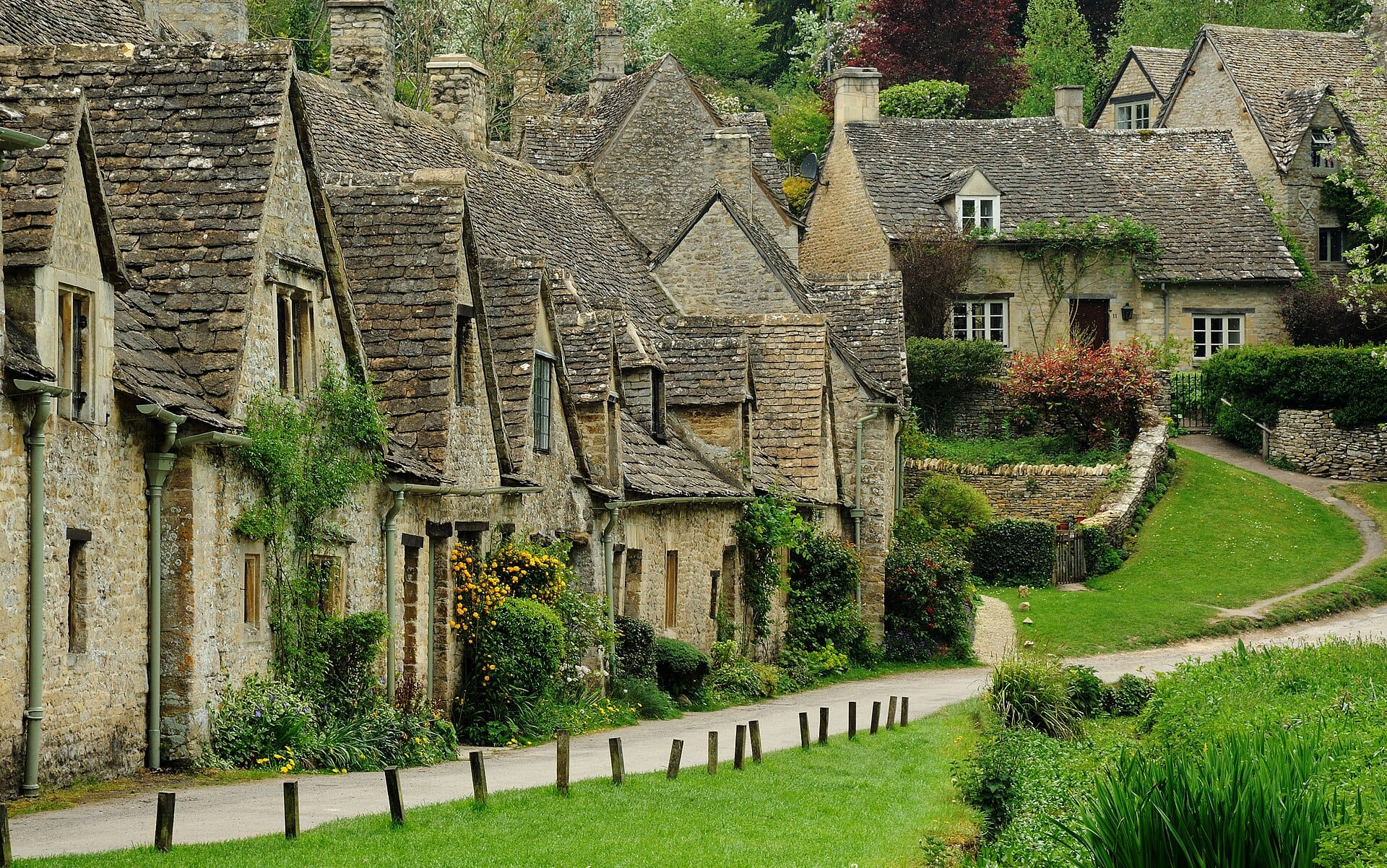
The Cotswolds
EnglandAlso for families and walkers & hikers · 12°C in November (10°C here) · cheaper to stay
Nearby destinations
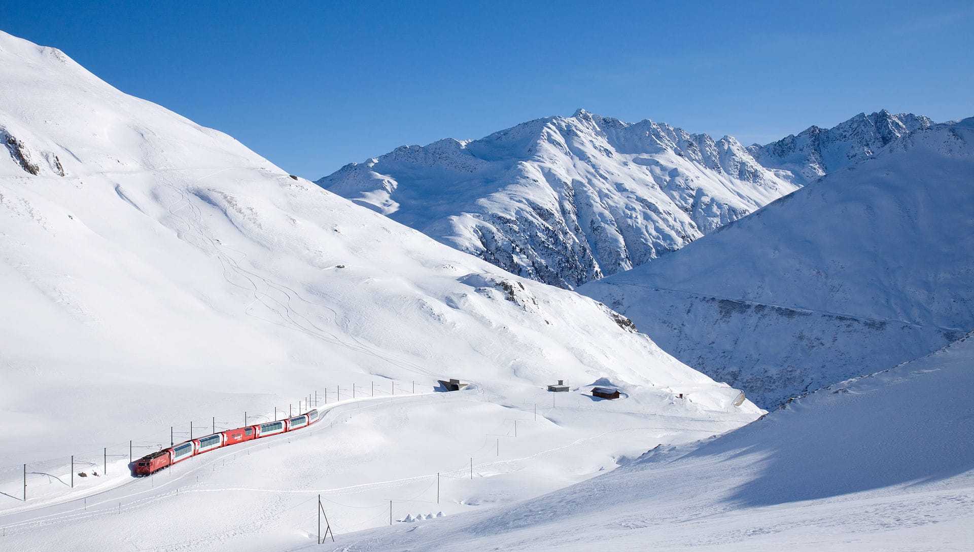
Glacier Express
Switzerland · 18km away →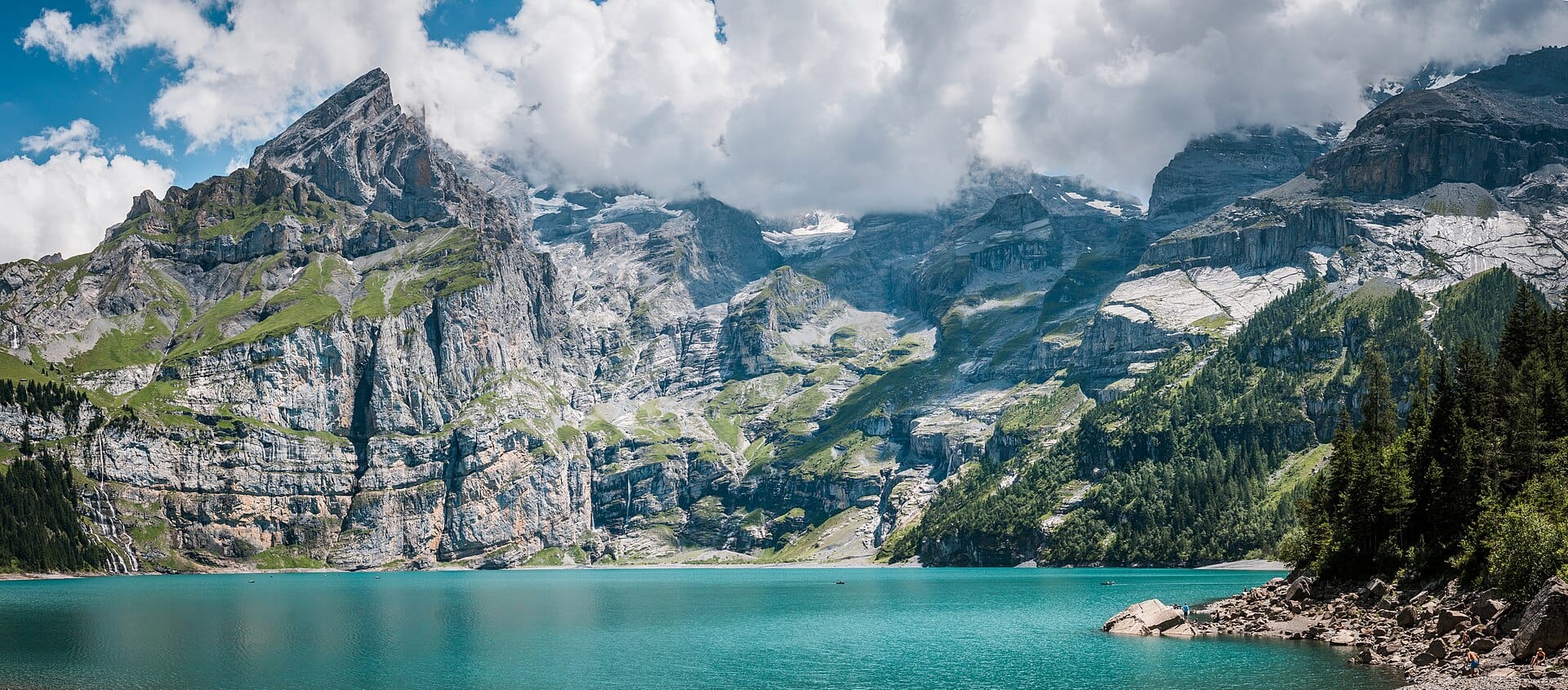
Oeschinensee
Switzerland · 34km away →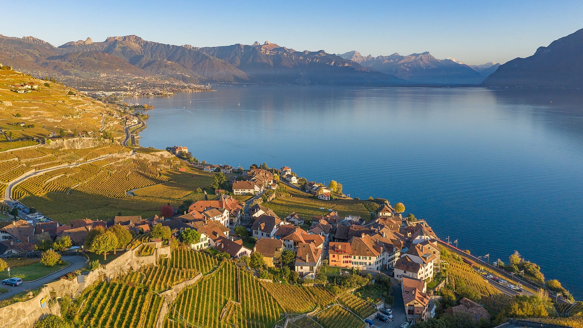
Lavaux
Switzerland · 41km away →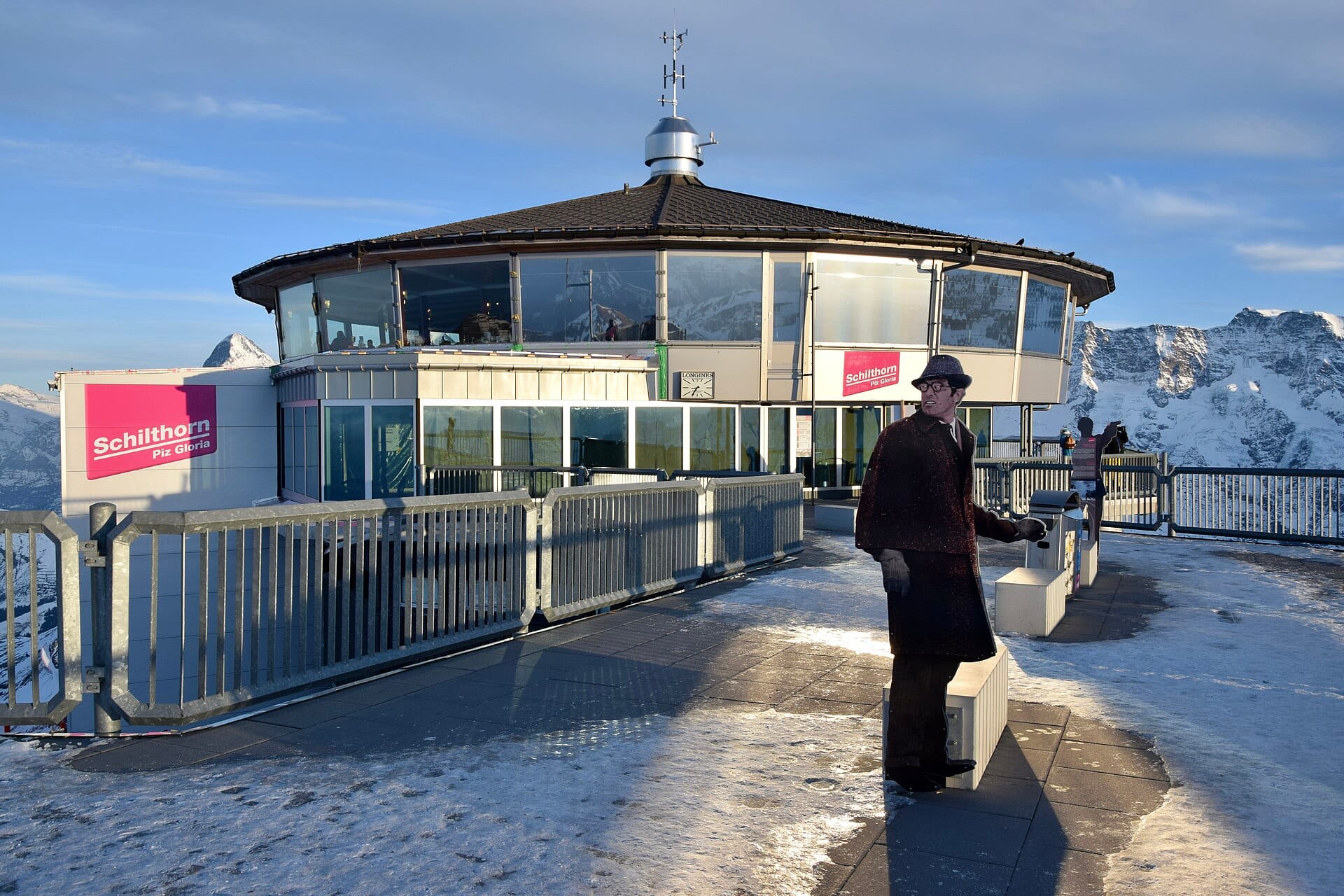
Schilthorn
Switzerland · 43km away →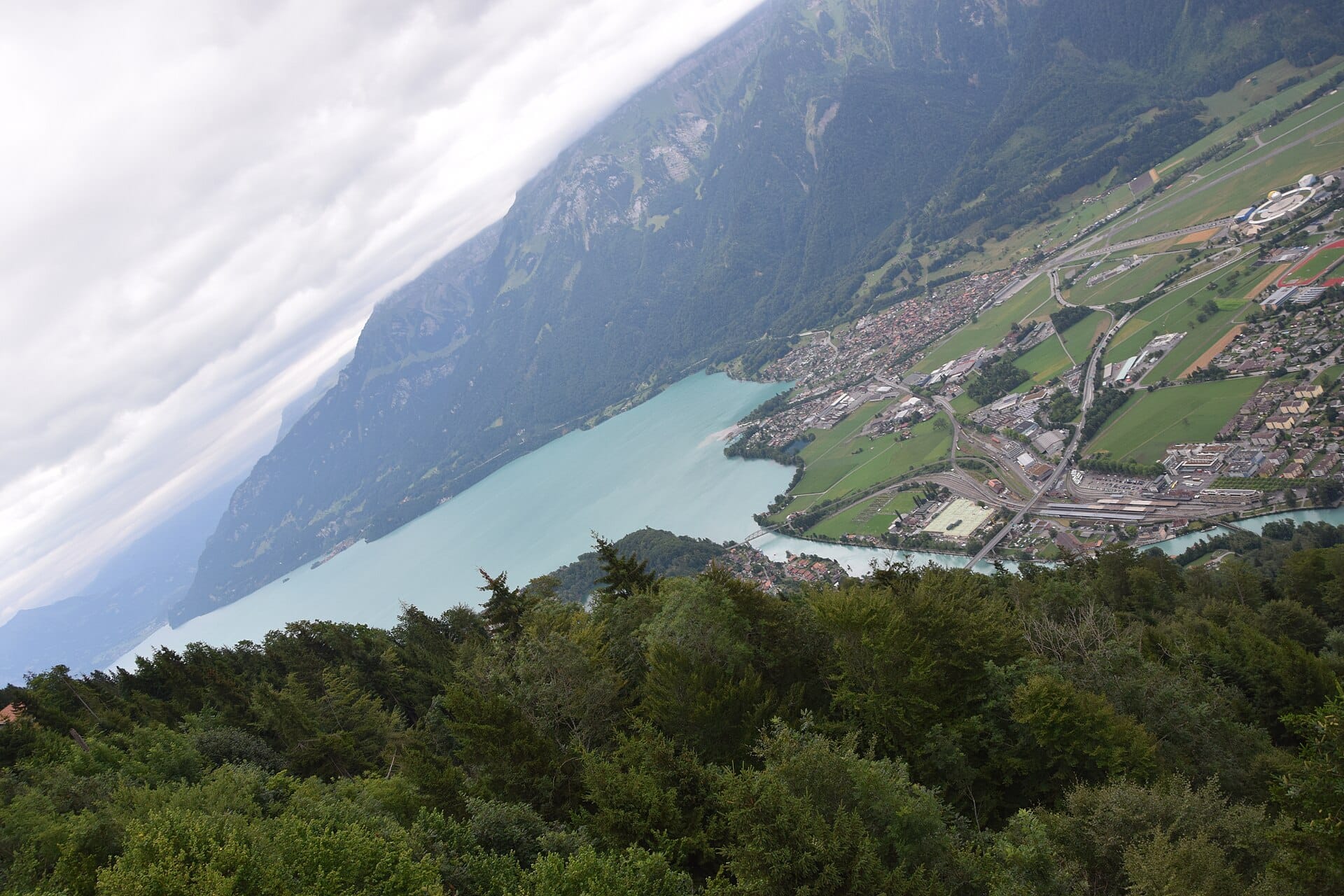
Interlaken
Switzerland · 49km away →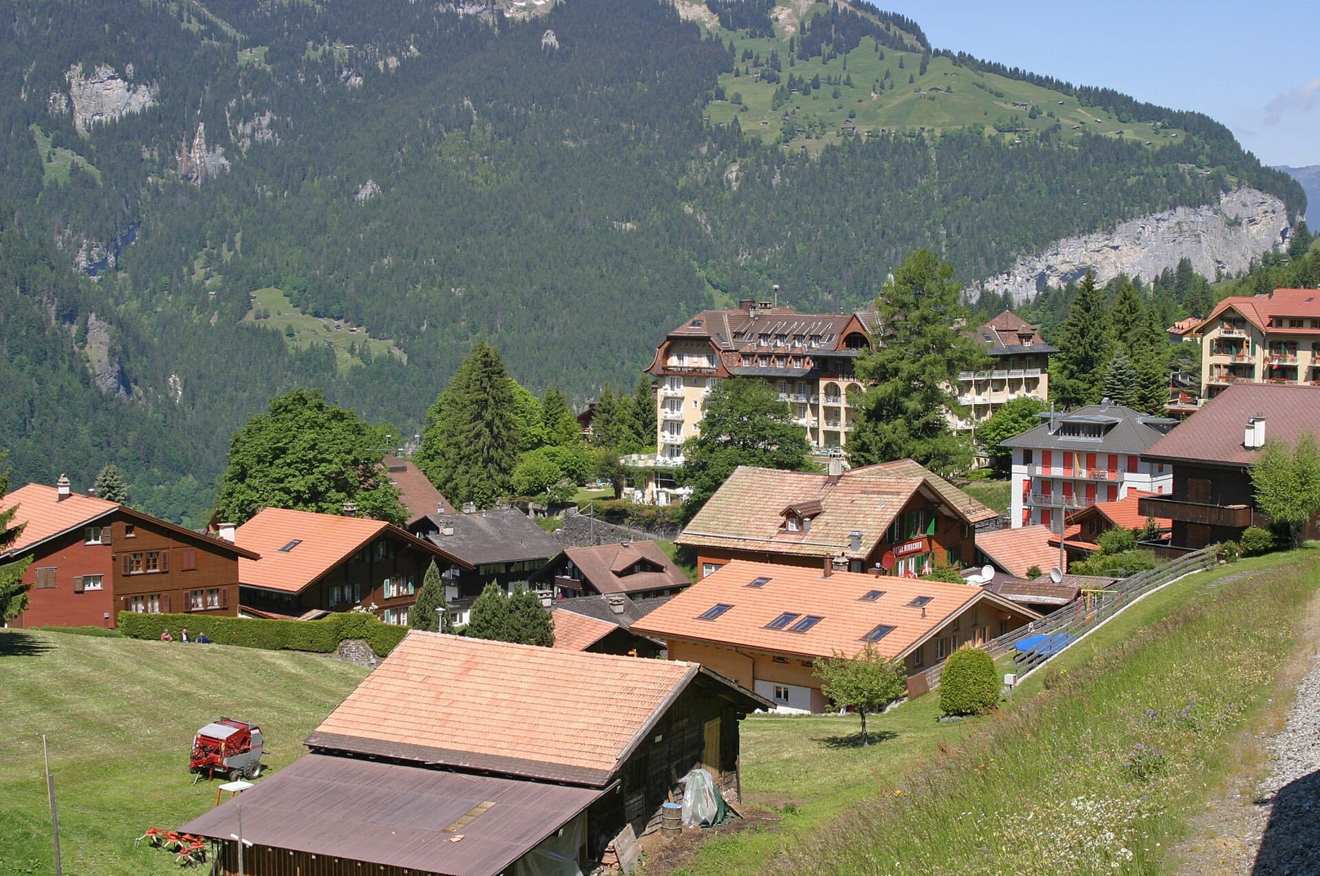
Wengen
Switzerland · 51km away →Elsewhere in Switzerland
Related articles
Quick answers
When is the best time to visit The Bernese Oberland?
Daytime highs run from about 5°C in January to 23°C in July. Driest February and March and October to December; wettest in May, with rain on about 22 days.
How long should I spend in The Bernese Oberland?
Our suggestion: a week.
How do I get to The Bernese Oberland?
About two hours by train from Bern (BRN), or more usually from Zurich, changing at Interlaken Ost for the valley line to Lauterbrunnen. By car it is roughly an hour and a quarter from Bern.
Do I need a car in The Bernese Oberland?
No. Trains, gondolas and postbuses run to timetable and connect with each other, which is the whole Swiss trick.
What currency and language are used in The Bernese Oberland?
Currency: Swiss franc (CHF). Language: German, French, Italian and Romansh. Plugs: type C and J.
Who is The Bernese Oberland best for?
Best for families, walkers & hikers and wildlife & nature. In a phrase: vertical, orderly, meadow-scented.