
Stelvio Pass
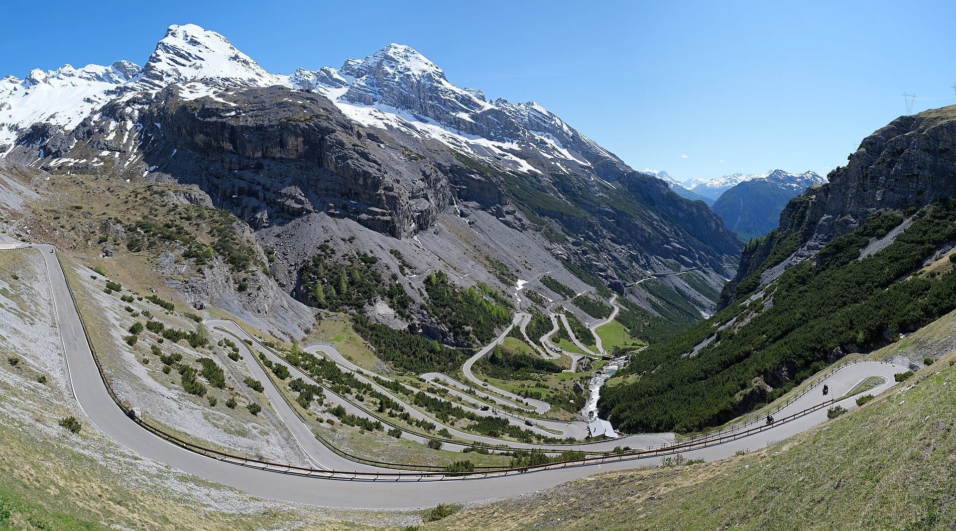
Forty-eight numbered hairpins climb the northern ramp to 2,757 metres in a stack so orderly it looks like a diagram.
- Best forRoad-trippers · Adventure seekers · Photographers
- In December-9°C · 10 rainy days
- Ideal stayA day, from a base in Bormio or the Vinschgau
- Approx. flying time~12h 10m from Los Angeles
- CurrencyEUREuro
- LanguageItalian
- Local time13:111h ahead of the UK
- PlugsType C / F / LBring an adapter
- Drive on theRightOpposite to the UK
- Dialling code+39
Why go
The road up from Prato allo Stelvio stacks forty-eight numbered hairpins against a mountainside to reach 2,757 metres, the second-highest paved pass in the Alps. Driving it is a workout for the forearms and the clutch, cycling it is a rite of passage, and the sequence of bends is so regular from above that it looks drawn rather than built. Motorbikes outnumber cars on a summer weekend.
The pass usually opens from late May or early June until October, and snow can close it at either end of that. Plan the drive for early on a weekday, when coaches and bikes are thinner on the ground, and avoid August entirely if you can. Bormio to the south and the Vinschgau valley to the north both make good bases, and the Umbrail Pass into Switzerland turns the day into a loop.
- Ideal stay
- A day, from a base in Bormio or the Vinschgau
- The vibe
- Steep, exhilarating, engine-warm
From our guides
Top Gear once called it the world's greatest driving road, which guaranteed you'd never have it to yourself. Go at dawn, midweek, outside August, and beware the one day each summer — usually late August — when the pass closes to cars entirely for thousands of cyclists. Bratwurst at the summit is tradition.
Featured in Ten jaw-dropping mountain roads and passes to drive
Things to do
-
The forty-eight northern hairpins
Each bend is numbered and signposted, counting down as you climb. The view back from around bend thirty is the photograph everyone comes for.
-
The summit stalls
A cluster of huts, souvenir stands and grills at the top, where bratwurst and a strong coffee have become tradition. Snow patches survive here into July.
-
Umbrail Pass loop
A short spur from just below the summit drops into Switzerland and the Val Müstair, allowing a circuit back rather than a there-and-back drive.
-
Bormio's thermal baths
Natural hot springs on the southern side, used since Roman times and built into the hillside. The obvious way to unstiffen after a day of hairpins.
-
Trafoi and the Ortler
The village on the northern approach sits beneath the Ortler, the highest peak in South Tyrol, with glacier views that improve as the road begins to climb.
-
Cycling the climb
Around 24 kilometres and 1,800 metres of ascent from the north. Riders start at dawn, and one day each summer the pass closes to cars entirely for cyclists.
Getting there
-
Fly to
Bolzano (BZO)
Nearest airport to Stelvio Pass, about 67km away as the crow flies.
-
Then
To Prato allo Stelvio
About an hour and three quarters by car from Bolzano (BZO), west up the Val Venosta to Prato allo Stelvio at the foot of the northern ramp. Innsbruck and Verona are the usual alternatives.
-
On the ground
Getting around
From Prato it is roughly 25 kilometres and 48 numbered hairpins to the summit at 2,757 metres, about half an hour of driving with a clear road. The pass is open only from roughly late May to October.
Public transport: A seasonal bus grinds over the pass in summer and the Val Venosta railway reaches Spondigna nearby, but this is a road you come to drive or ride.
Flights
Los Angeles Stelvio Pass, Italy
Fly from anywhere — search 4,000+ airports worldwide.
Roughly 12h 10m in the air from Los Angeles (LAX), estimated from the distance — check for a direct route. Pick a month to see every available flight with live prices.
Check dates and prices
Pick your departure date, then your return.
Search flightsNot sure when? Compare fares across a whole month.
Flight times are estimates; prices open on Google Flights.
When to go
Daytime highs run from about -10°C in January to 12°C in July. Driest January to March; wettest in May, with rain on about 20 days.
The year at a glance — pick a month for detail
December-9° · rain 10 daysCold with rain most weeks.
Monthly figures averaged from daily records for 2020–2024 at this location (ERA5 reanalysis). Live conditions from MET Norway, CC BY 4.0.
Where to stay
South Tyrolean Gasthöfe and small hotels, plus apartments and a mountain refuge or two near the summit. Half board is common and most places close from late autumn.
-
Best base overall
Prato allo Stelvio
At the foot of the northern ramp, so a dawn run up the hairpins means rolling out of the door. A plain South Tyrolean village with guesthouses, bike hire and a couple of restaurants.
Find stays in Prato allo Stelvio -
Best with children
Bormio
On the southern side, a proper spa town with thermal baths, a ski area and the widest choice of hotels and restaurants. Better for a stay of several days than a single pass run.
Find stays in Bormio -
Closest to the sights
Trafoi and Gomagoi
Hamlets on the climb itself, with a handful of family inns among the hairpins. Little to do in the evening, but the pass road is literally outside.
Find stays in Trafoi and Gomagoi -
Best value
Glurns and the Vinschgau
The walled town and the apple-growing valley below Prato, with cheaper rooms, a cycle path and better eating. Twenty minutes to the bottom of the climb.
Find stays in Glurns and the Vinschgau
Worth knowing before you book: The pass is shut by snow from roughly late October to late May, and it closes to cars for one day in late summer for the cycling event, so check before travelling.
Search everything else in Prato allo Stelvio by budget. These are indicative budget bands in GBP per night for two people, not live quotes or guarantees of hotel type. Check your dates, guests, taxes and final price on Booking.com.
Good to know
- Season
- Snow closes the pass for roughly seven months. It typically opens late May or June and shuts in October, and it can close mid-summer after a storm.
- Timing
- Go at dawn, midweek, and outside August. By mid-morning in high season the hairpins carry a steady stream of motorbikes and campervans.
- Cyclists
- Riders are on the road all day and the bends are blind. Take the hairpins slowly, use the horn on the tightest ones and give plenty of room.
- Pack this
- It can be close to freezing at the summit even in July, with wind on top of that. Bring a jacket regardless of the temperature in the valley.
- Fuel
- Fill up in the valley before you start. There is no fuel on the climb, and the summit facilities are seasonal and cash-friendly rather than card-first.
Nearby destinations
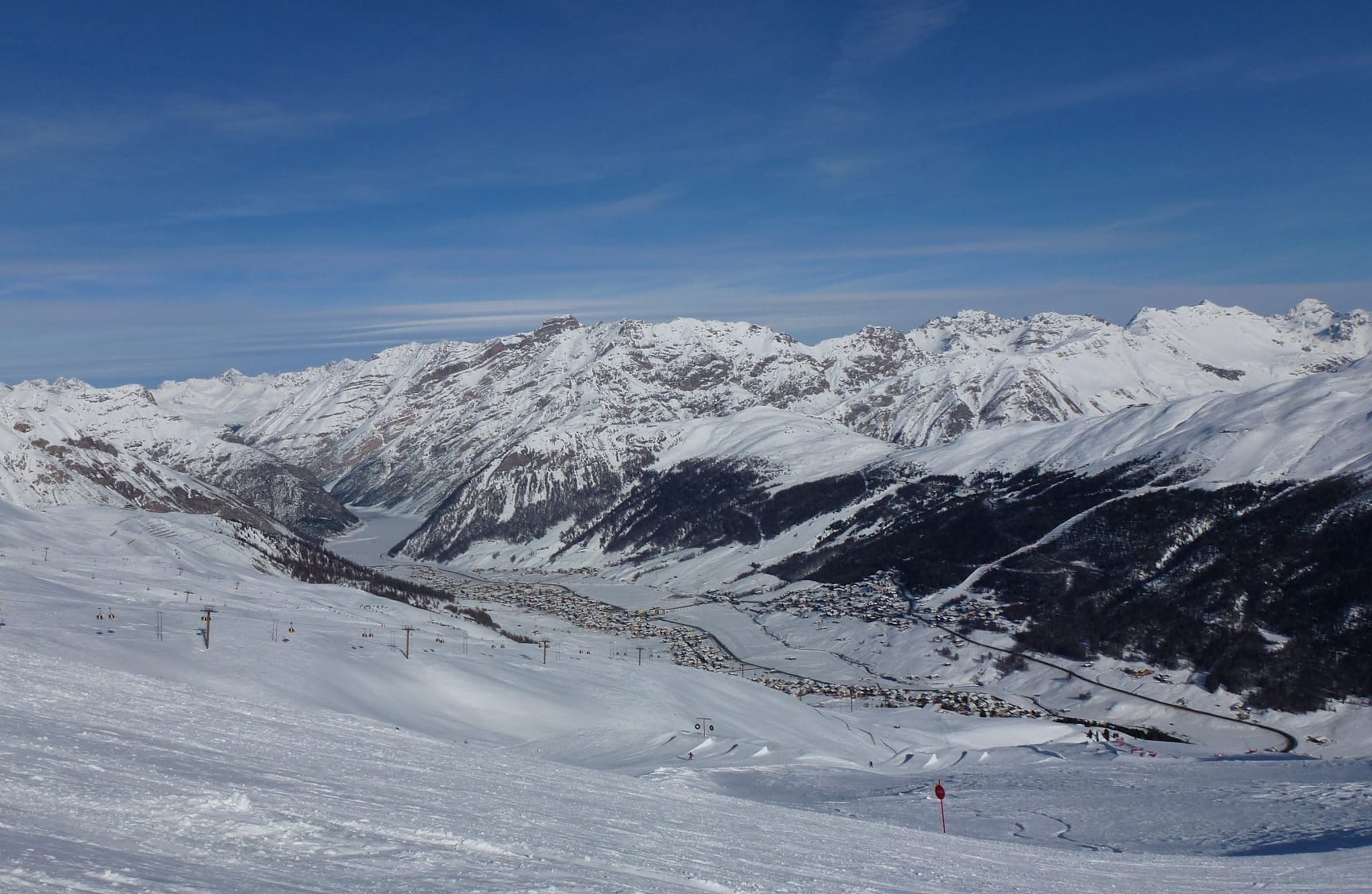
Livigno
Italy · 24km away →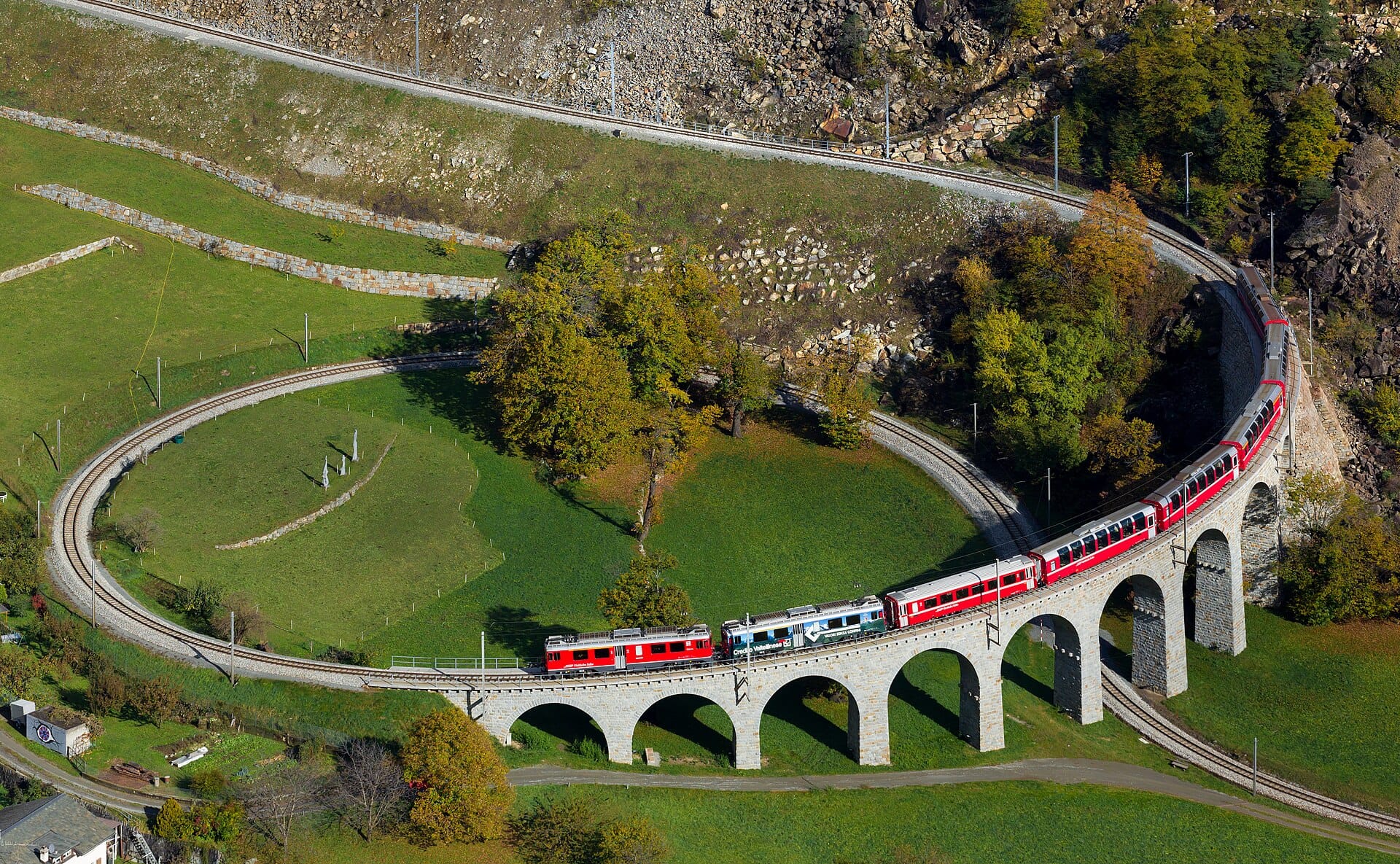
Bernina Express
Switzerland to Italy · 41km away →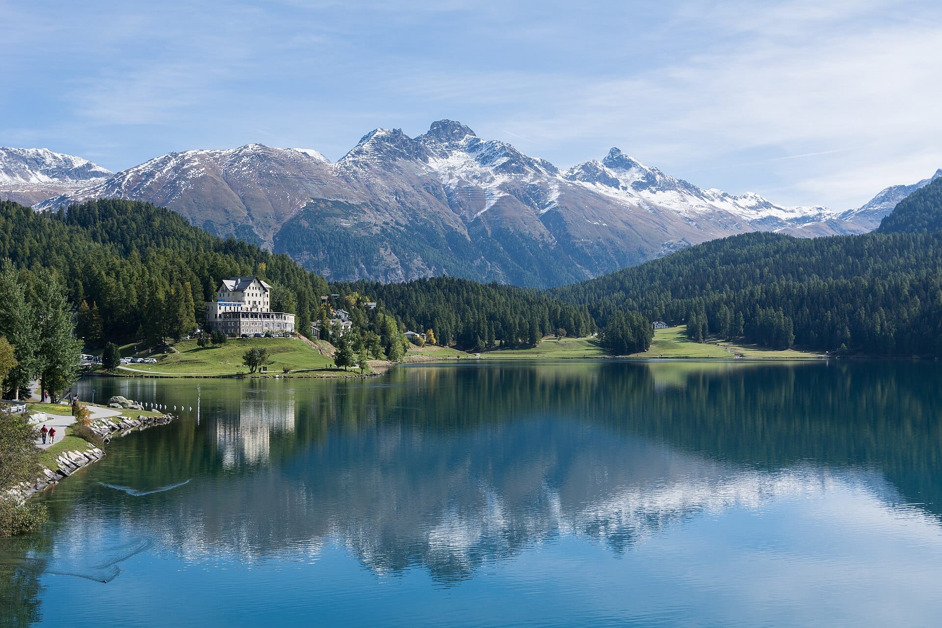
St. Moritz
Switzerland · 47km away →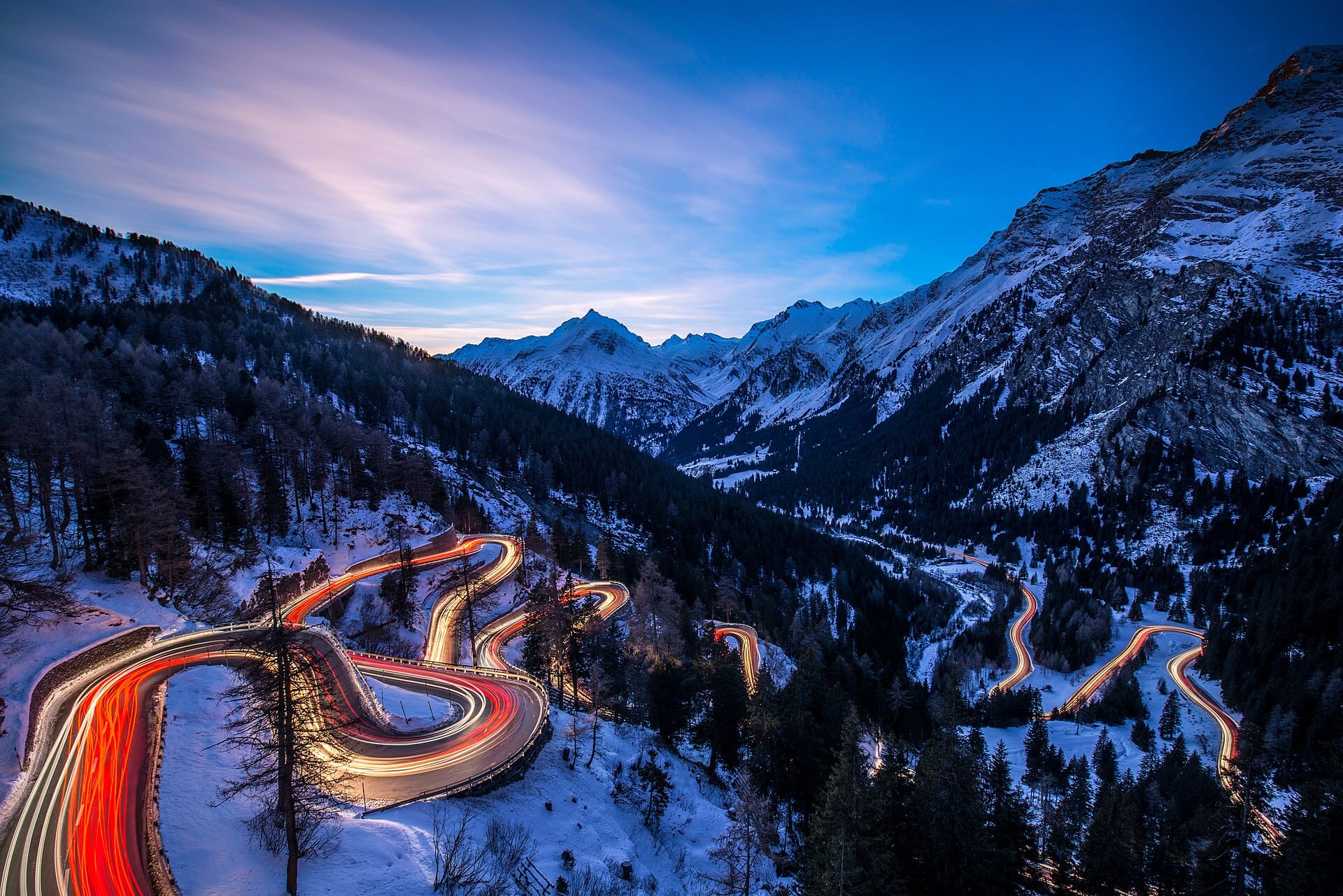
Maloja Pass
Switzerland · 60km away →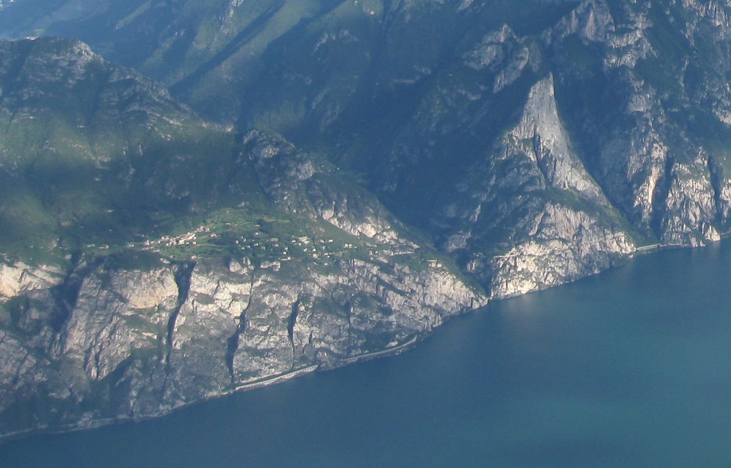
Canyoning above Lake Garda
Italy · 98km away →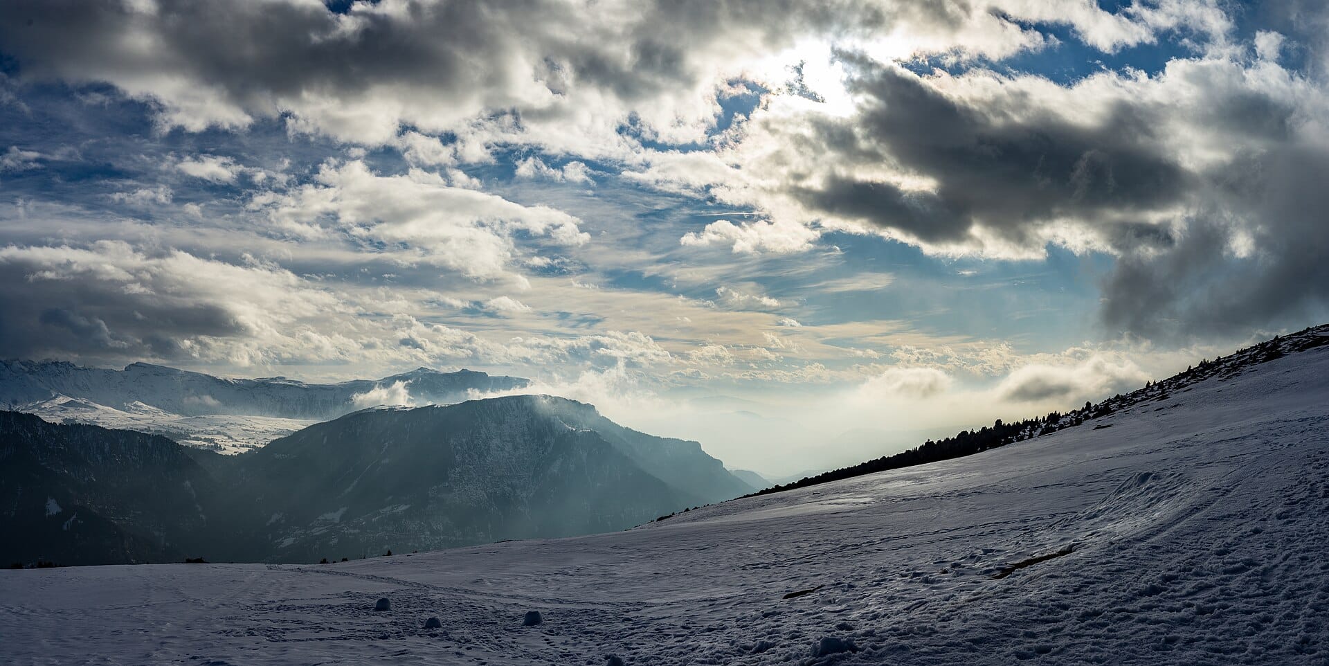
Snowshoeing in the Dolomites
Italy · 100km away →Elsewhere in Italy
Related articles
Quick answers
When is the best time to visit Stelvio Pass?
Daytime highs run from about -10°C in January to 12°C in July. Driest January to March; wettest in May, with rain on about 20 days.
How long should I spend in Stelvio Pass?
Our suggestion: a day, from a base in Bormio or the Vinschgau.
How do I get to Stelvio Pass?
About an hour and three quarters by car from Bolzano (BZO), west up the Val Venosta to Prato allo Stelvio at the foot of the northern ramp. Innsbruck and Verona are the usual alternatives.
Do I need a car in Stelvio Pass?
Yes, a car makes a real difference here. A seasonal bus grinds over the pass in summer and the Val Venosta railway reaches Spondigna nearby, but this is a road you come to drive or ride.
What currency and language are used in Stelvio Pass?
Currency: Euro (EUR). Language: Italian. Plugs: type C and F and L.
Who is Stelvio Pass best for?
Best for road-trippers, adventure seekers and photographers. In a phrase: steep, exhilarating, engine-warm.