
Picos de Europa
Green northern Spain hides a compact limestone range where trails link stone villages, high pastures and refuges beneath the great tusk of Naranjo de Bulnes.
- Best forWalkers & hikers · Foodies · Wildlife & nature
- In January1°C · 16 rainy days
- Ideal stay4–5 nights
- Approx. flying time~11h 20m from Los Angeles
- CurrencyEUREuro
- LanguageSpanish
- Local time13:121h ahead of the UK
- PlugsType C / FBring an adapter
- Drive on theRightOpposite to the UK
- Dialling code+34
Why go
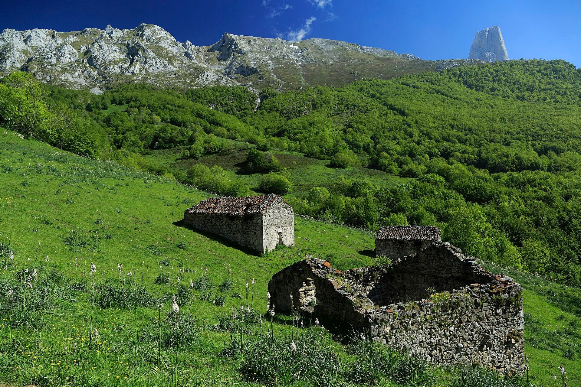
Limestone rises abruptly out of green Atlantic countryside here, three massifs of it, cut by gorges and topped by the blunt tower of the Naranjo de Bulnes. The scale is compact, so a morning's walk takes you from beech woods and stone hamlets up to bare karst and high pasture. Cows, cheese caves and cider are as much a part of the region as the ridges. Weather arrives fast off the sea.
Cangas de Onis, Potes and Arenas de Cabrales make the usual bases, each on a different side of the range, and a car is needed to move between them. Four or five days covers the classic walks. June and September give the best combination of long days, open refuges and empty paths, while winter closes the high routes. Rain is frequent even in summer, which is why the valleys stay so green.
- Ideal stay
- 4–5 nights
- The vibe
- Green, limestone, weather-beaten
From our guides
The Fuente Dé cable car lifts you 750 metres in four minutes, opening high routes without the grind. Treks here pair nicely with serious food — this is cabrales blue-cheese and cider country. June and September offer the best balance of weather and empty paths.
Featured in Ten national parks for your first proper trek
Things to do
-
Ruta del Cares
A path cut into a gorge wall between Cain and Poncebos, around twelve kilometres each way with little height gain and a long drop beside you throughout.
-
Fuente De cable car
A four-minute lift climbs roughly 750 metres from the valley to a high plateau, opening ridge walks that would otherwise take half a day to reach.
-
Lagos de Covadonga
Two glacial lakes above the sanctuary at Covadonga, reached by a steep road that is shuttle-bus only during the busy months.
-
Bulnes and the Naranjo
A village reachable on foot or by funicular railway, sitting below the vertical limestone tower that climbers travel here for.
-
Cabrales cheese caves
The blue cheese of the region is matured in mountain caves, several of which can be visited around Arenas de Cabrales.
-
Sotres and the high pastures
The highest village in the range is the start of several routes onto the Urrieles massif and out to the shepherds' huts on the plateaus.
Getting there
-
Fly to
Ranón (OVD)
Nearest airport to Picos de Europa, about 106km away as the crow flies.
-
Then
To Potes
About two hours by car south-west from Santander (SDR) through the Hermida gorge to Potes; Bilbao and Asturias airports are similar drives from the other sides.
-
On the ground
Getting around
Fuente Dé and its cable car are twenty minutes up the valley from Potes, and trailheads at Sotres and the Cares gorge need their own drives on narrow mountain roads.
Public transport: A bus links Santander with Potes and a seasonal service runs to Fuente Dé, but most trailheads are beyond public transport.
Flights
Los Angeles Picos de Europa, Spain
Fly from anywhere — search 4,000+ airports worldwide.
Roughly 11h 20m in the air from Los Angeles (LAX), estimated from the distance — check for a direct route. Pick a month to see every available flight with live prices.
Check dates and prices
Pick your departure date, then your return.
Search flightsNot sure when? Compare fares across a whole month.
Flight times are estimates; prices open on Google Flights.
When to go
Daytime highs run from about 1°C in January to 14°C in August. Driest in February; wettest in June, with rain on about 22 days.
The year at a glance — pick a month for detail
January1° · rain 16 daysCold and often wet.
Monthly figures averaged from daily records for 2020–2024 at this location (ERA5 reanalysis). Live conditions from MET Norway, CC BY 4.0.
Where to stay
Casas rurales, small stone hotels, hostales and mountain refuges, plus one or two paradors. There are no resorts, and half board is common in the higher villages.
-
Best base overall
Potes
A stone market town in the eastern valleys, with restaurants, shops and the road up to the Fuente Dé cable car. It is a drive from the western trailheads, so expect some mileage.
Find stays in Potes -
Quietest
Fuente Dé and Espinama
At the head of the valley beneath the cable car, with parador-style hotels and small inns. You are first in the queue in the morning and there is nothing at all to do at night.
Find stays in Fuente Dé and Espinama -
Best value
Arenas de Cabrales
Cheese country on the northern side, with cheaper hostales and the gorge walk to Bulnes nearby. Handy for the Cares route, and less pretty than Potes.
Find stays in Arenas de Cabrales -
Best with children
Cangas de Onís
The Asturian gateway near Covadonga and the lakes, with hotels, a Roman bridge and easy riverside walks. It gets busy in August and the lakes road runs on a shuttle then.
Find stays in Cangas de Onís
Worth knowing before you book: August fills the valleys and puts the Covadonga lakes road on a compulsory shuttle. Book refuges in advance and check whether the Fuente Dé cable car is running before you plan around it.
Search everything else in Potes by budget. These are indicative budget bands in GBP per night for two people, not live quotes or guarantees of hotel type. Check your dates, guests, taxes and final price on Booking.com.
Good to know
- Driving
- Roads are narrow, winding and often single-track between villages. Journey times around the range run much longer than the map suggests.
- Timing
- The Covadonga lakes road and some valley roads close to private cars in summer and at Easter, with shuttle buses instead. Check before driving up.
- Weather
- Cloud and rain arrive quickly off the Atlantic and the tops are frequently hidden. Carry waterproofs whatever the forecast said at breakfast.
- Book ahead
- Mountain refuges are small and fill through the summer. Reserve if you plan to sleep high; day walks need no booking.
- Cares logistics
- The gorge walk is a there-and-back route unless you arrange a taxi or leave a second car at the far end, which many walkers do.
Similar places
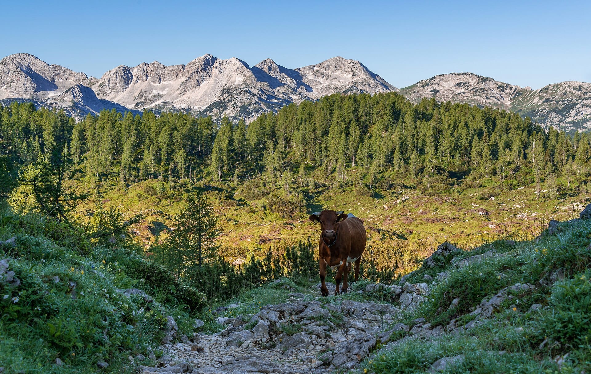
Triglav National Park
SloveniaAlso for walkers & hikers and wildlife & nature · -4°C in January (1°C here)
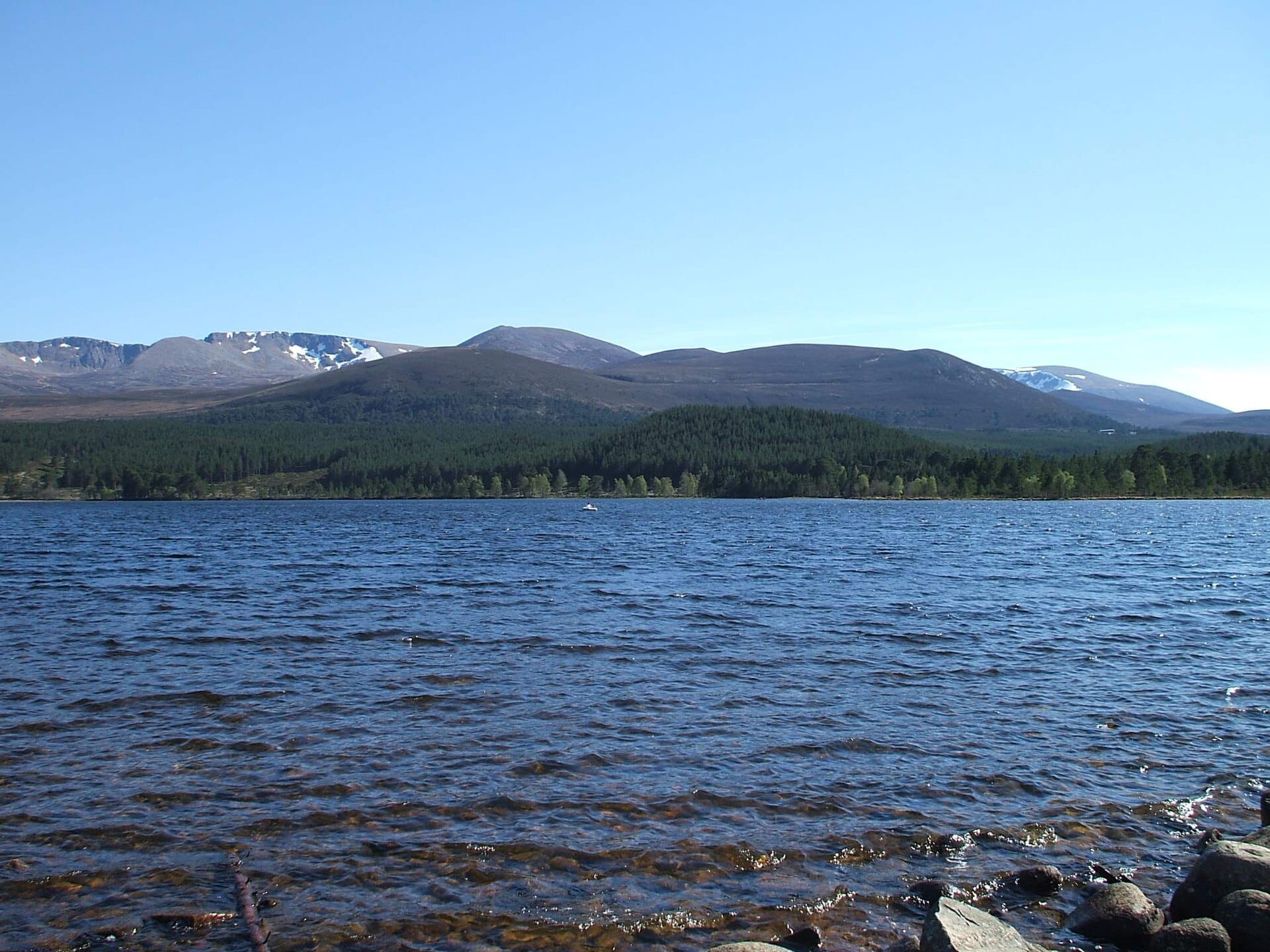
Cairngorms
ScotlandAlso for walkers & hikers and wildlife & nature · 0°C in January, as here
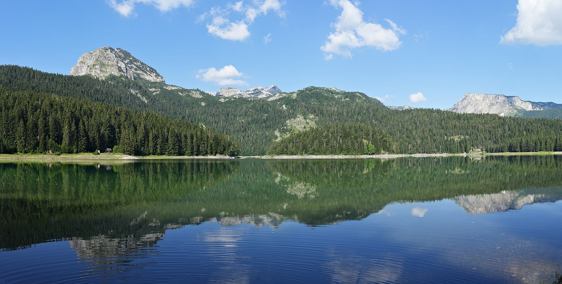
Durmitor National Park
MontenegroAlso for walkers & hikers and wildlife & nature · -4°C in January (1°C here) · cheaper to stay
Nearby destinations
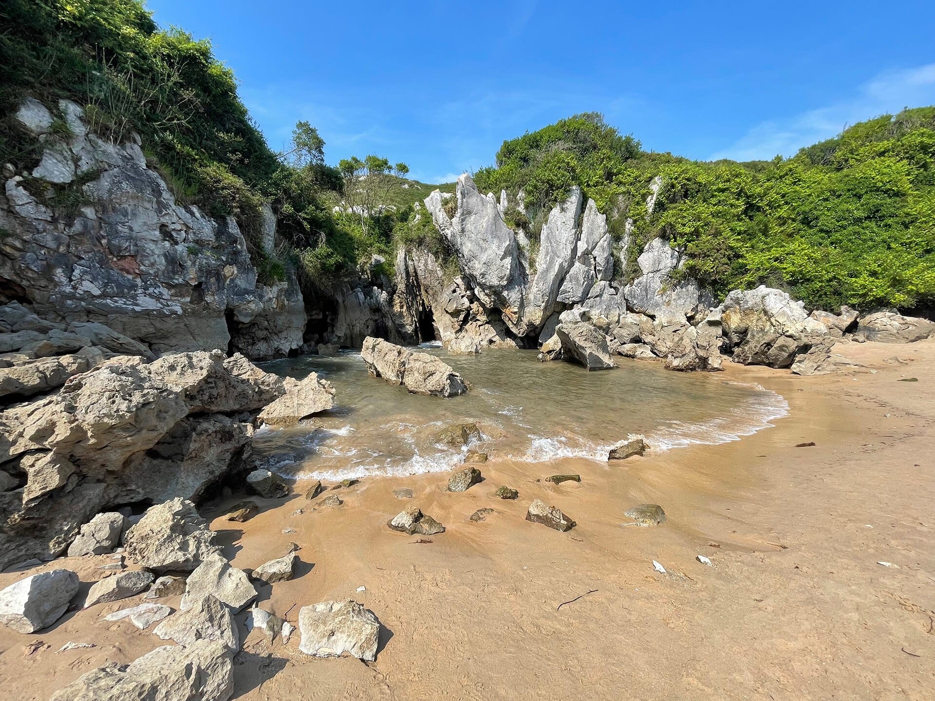
Playa de Gulpiyuri
Asturias, Spain · 29km away →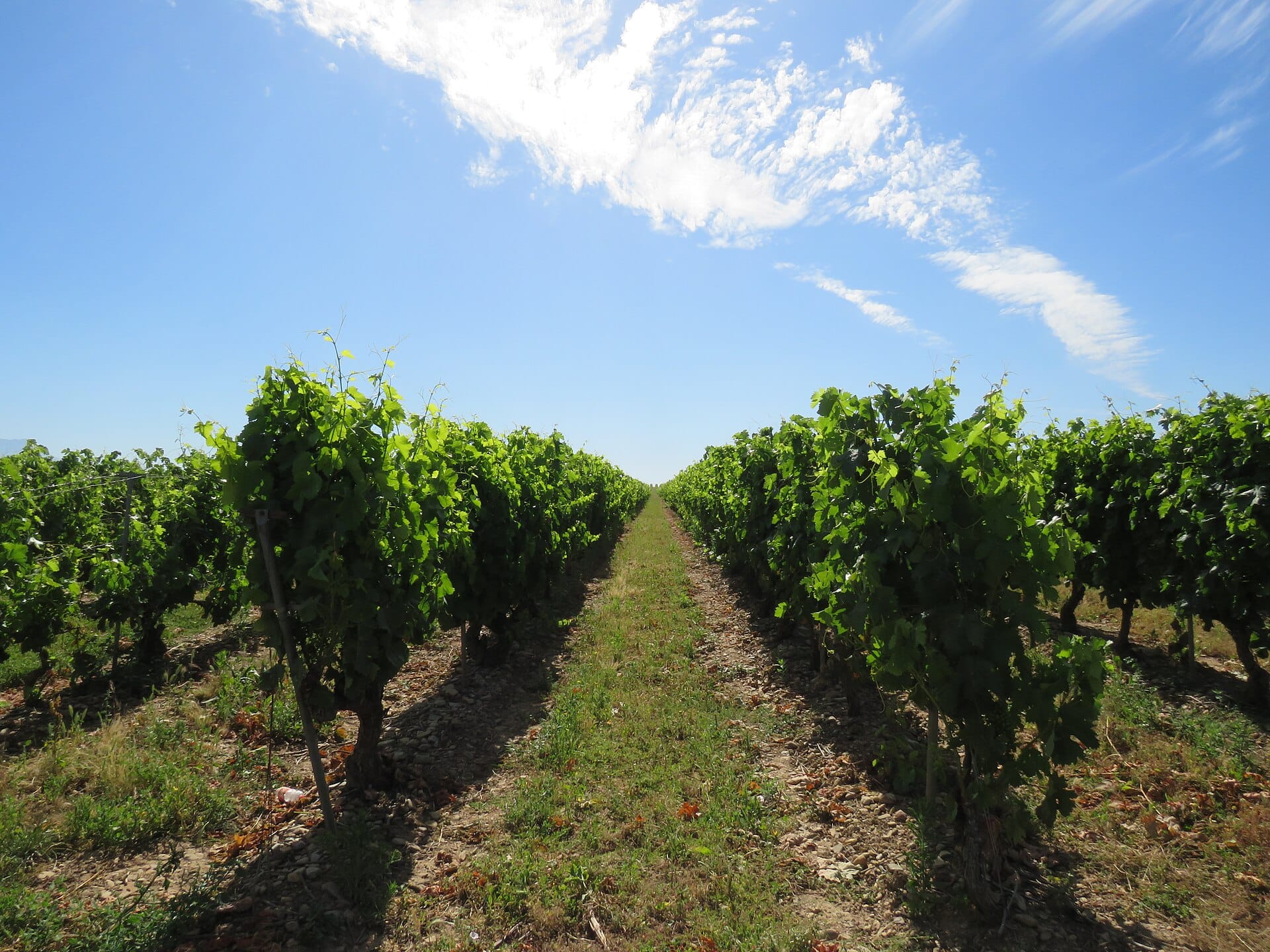
La Rioja
Spain · 217km away →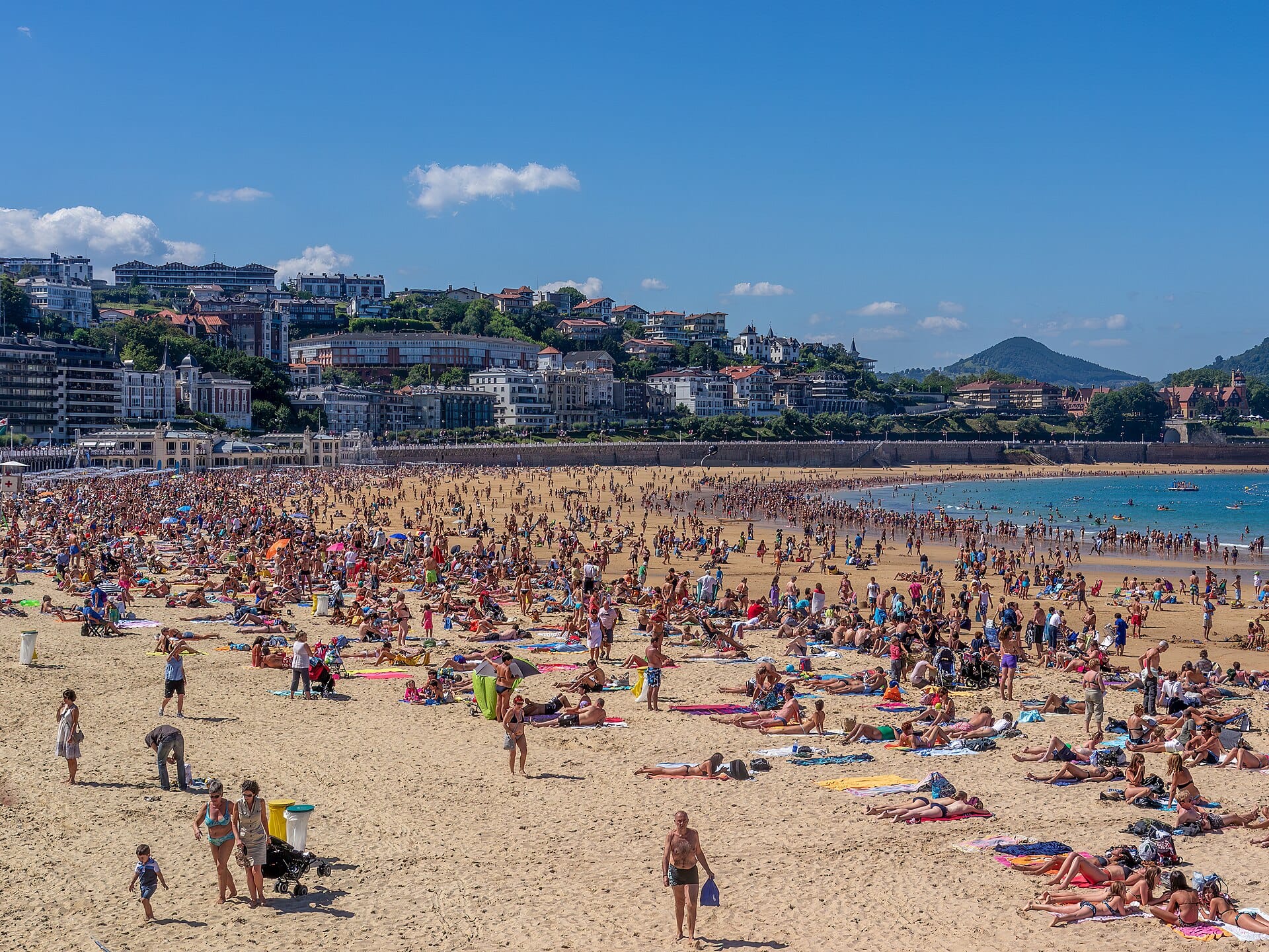
San Sebastián
Spain · 231km away →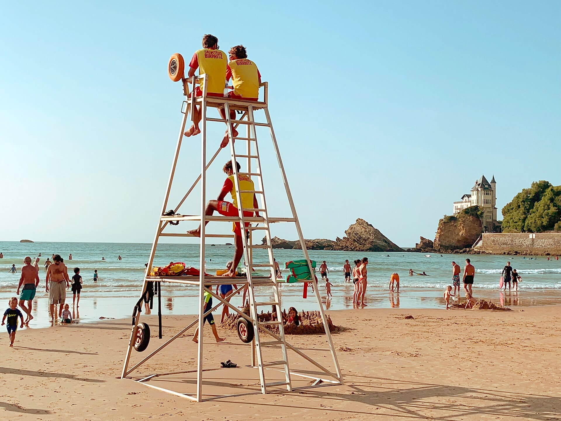
Côte des Basques
Biarritz, France · 266km away →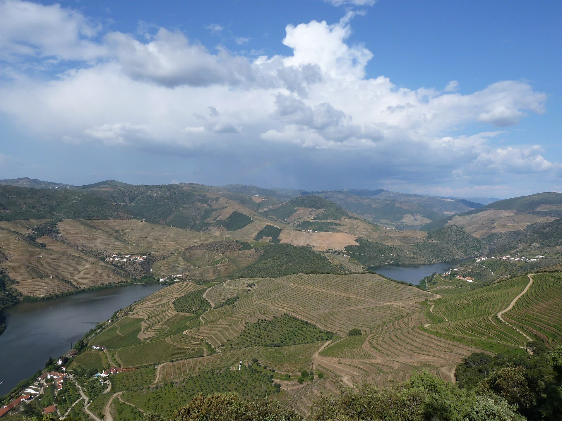
Douro Valley
Portugal · 319km away →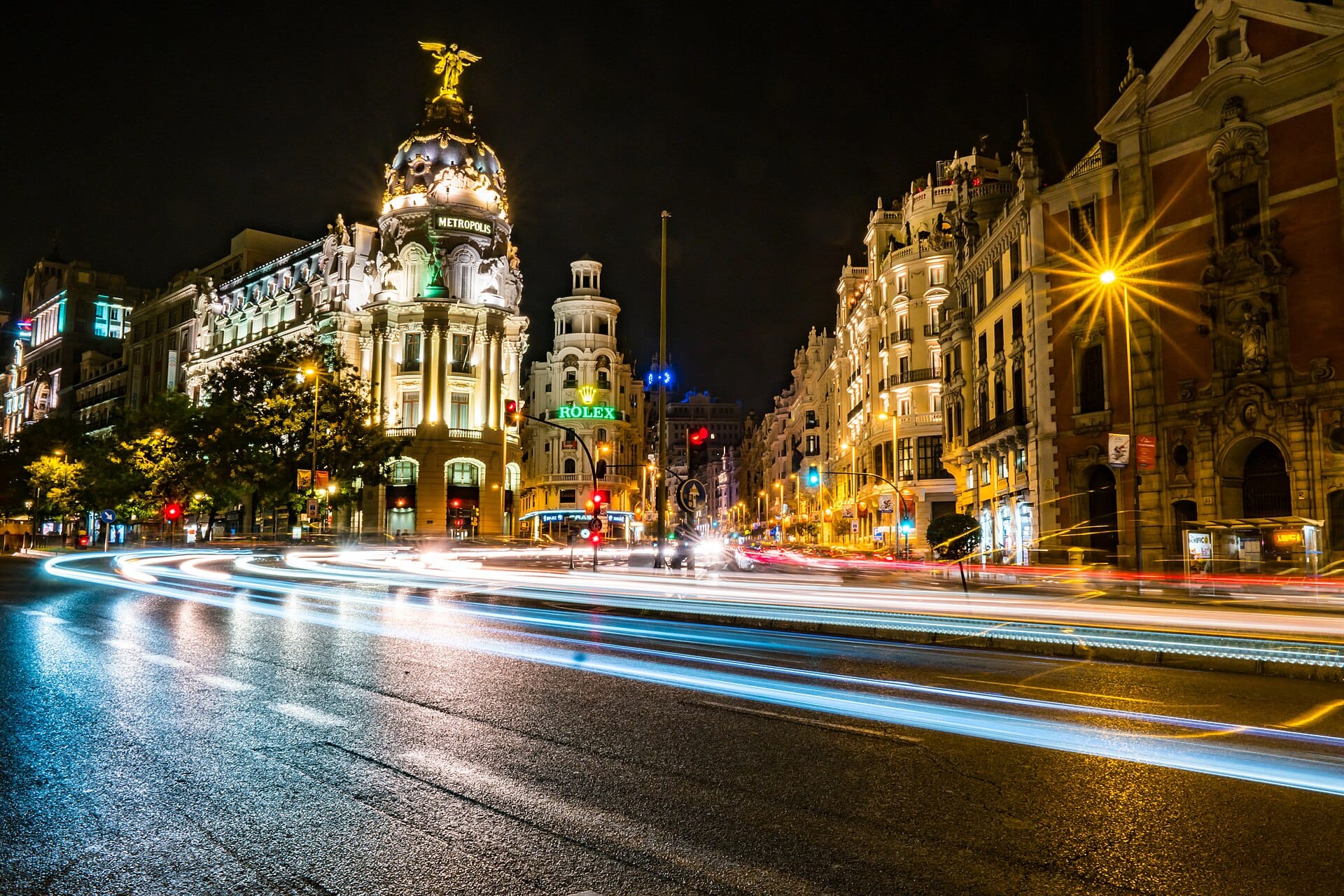
Madrid
Spain · 322km away →Elsewhere in Spain
Related articles
Quick answers
When is the best time to visit Picos de Europa?
Daytime highs run from about 1°C in January to 14°C in August. Driest in February; wettest in June, with rain on about 22 days.
How long should I spend in Picos de Europa?
Our suggestion: 4–5 nights.
How do I get to Picos de Europa?
About two hours by car south-west from Santander (SDR) through the Hermida gorge to Potes; Bilbao and Asturias airports are similar drives from the other sides.
Do I need a car in Picos de Europa?
Yes, a car makes a real difference here. A bus links Santander with Potes and a seasonal service runs to Fuente Dé, but most trailheads are beyond public transport.
What currency and language are used in Picos de Europa?
Currency: Euro (EUR). Language: Spanish. Plugs: type C and F.
Who is Picos de Europa best for?
Best for walkers & hikers, foodies and wildlife & nature. In a phrase: green, limestone, weather-beaten.